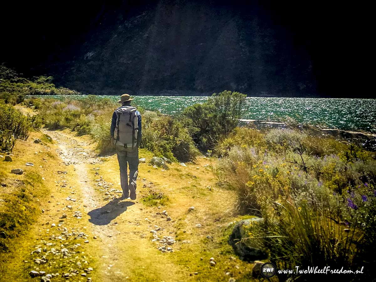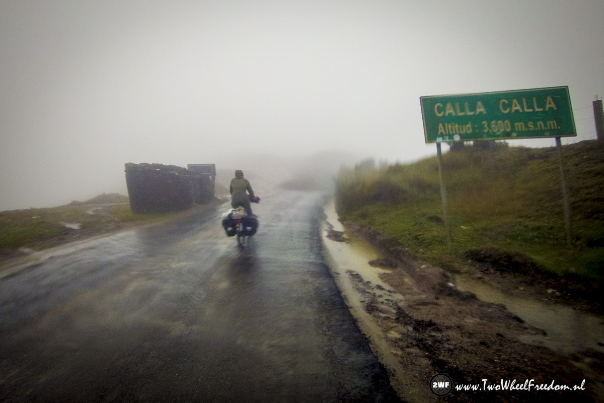
Caraz, Huaraz & Lima

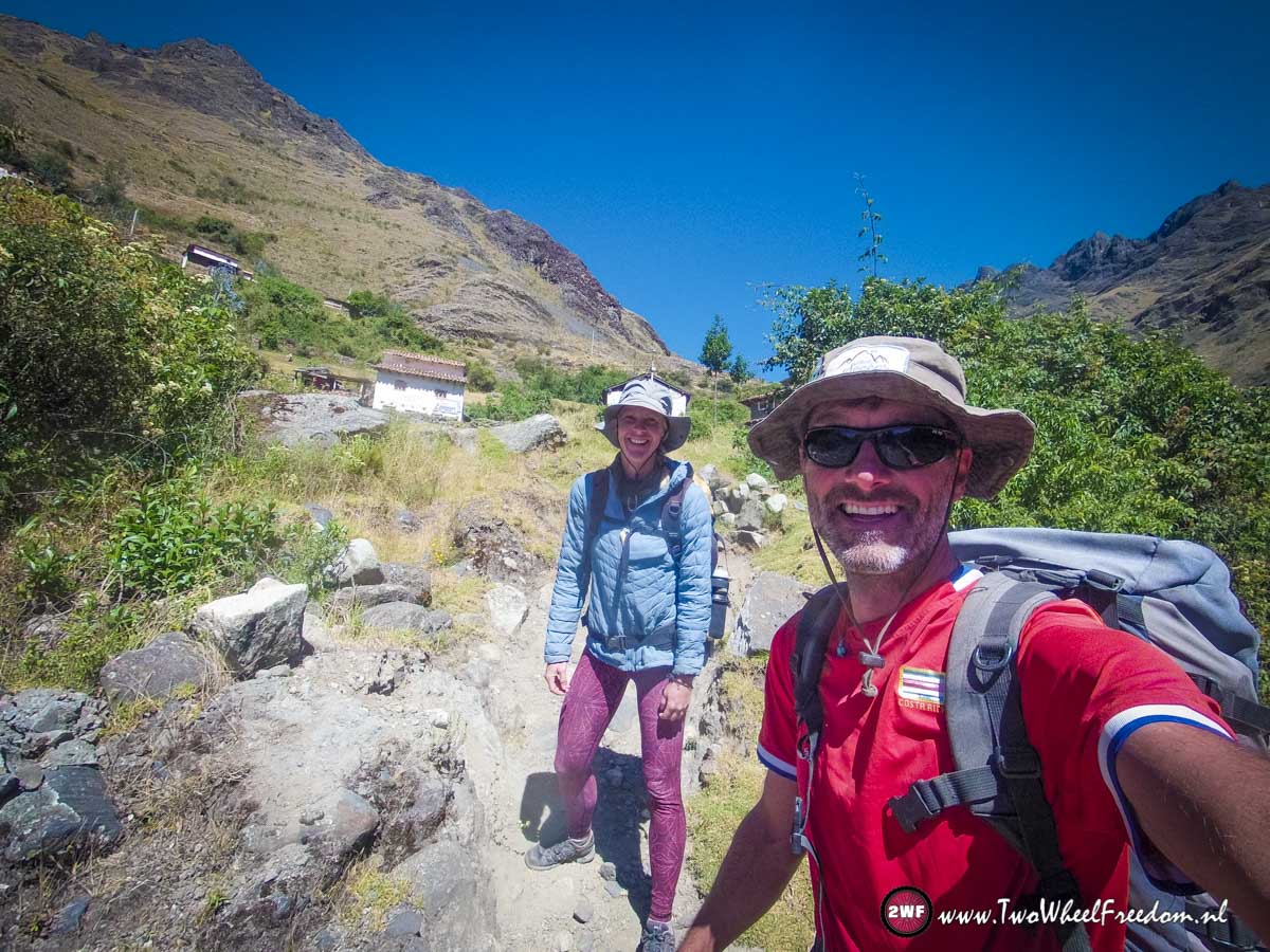
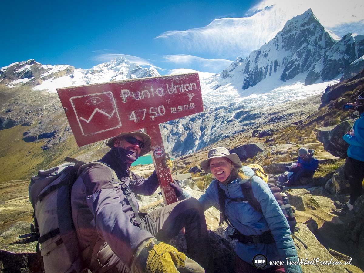
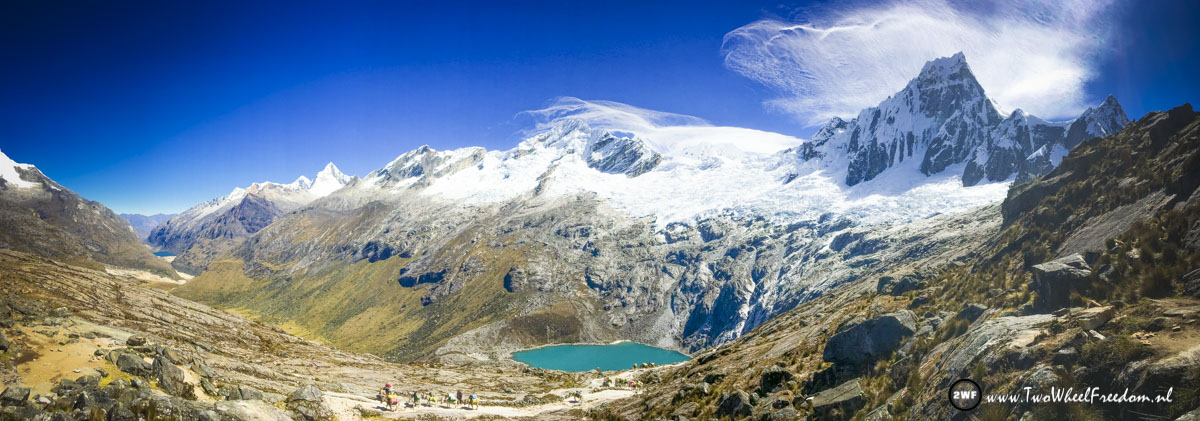
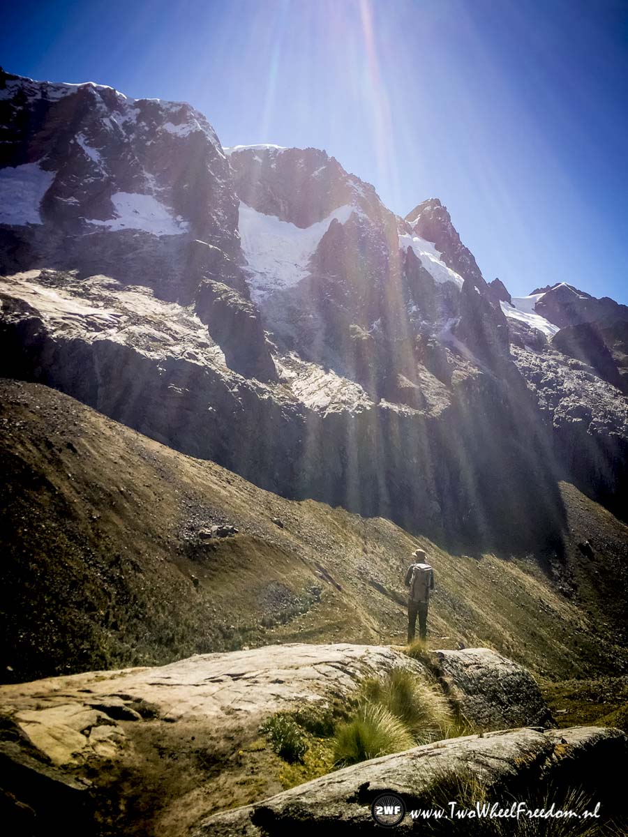
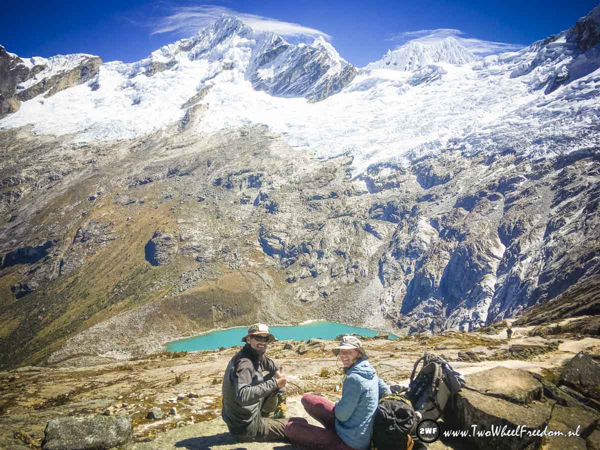
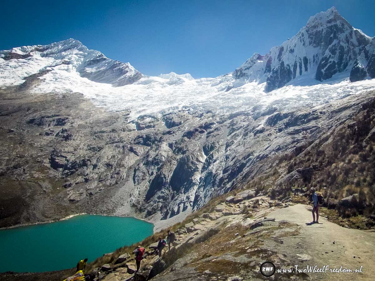
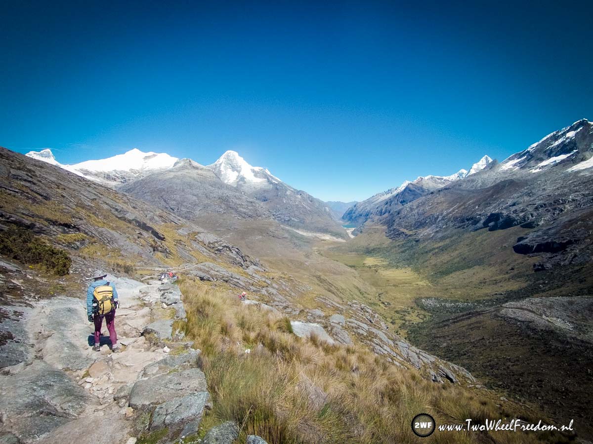
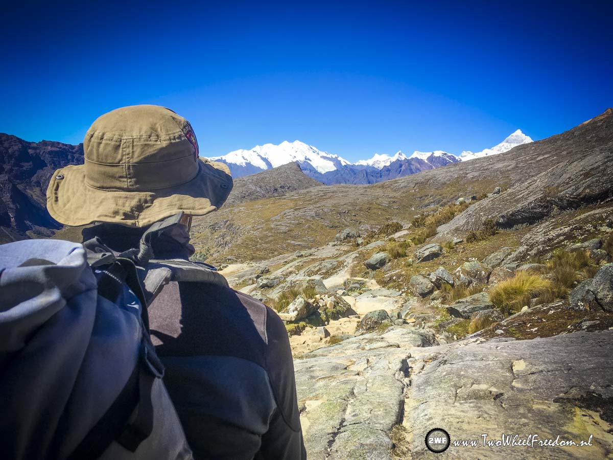
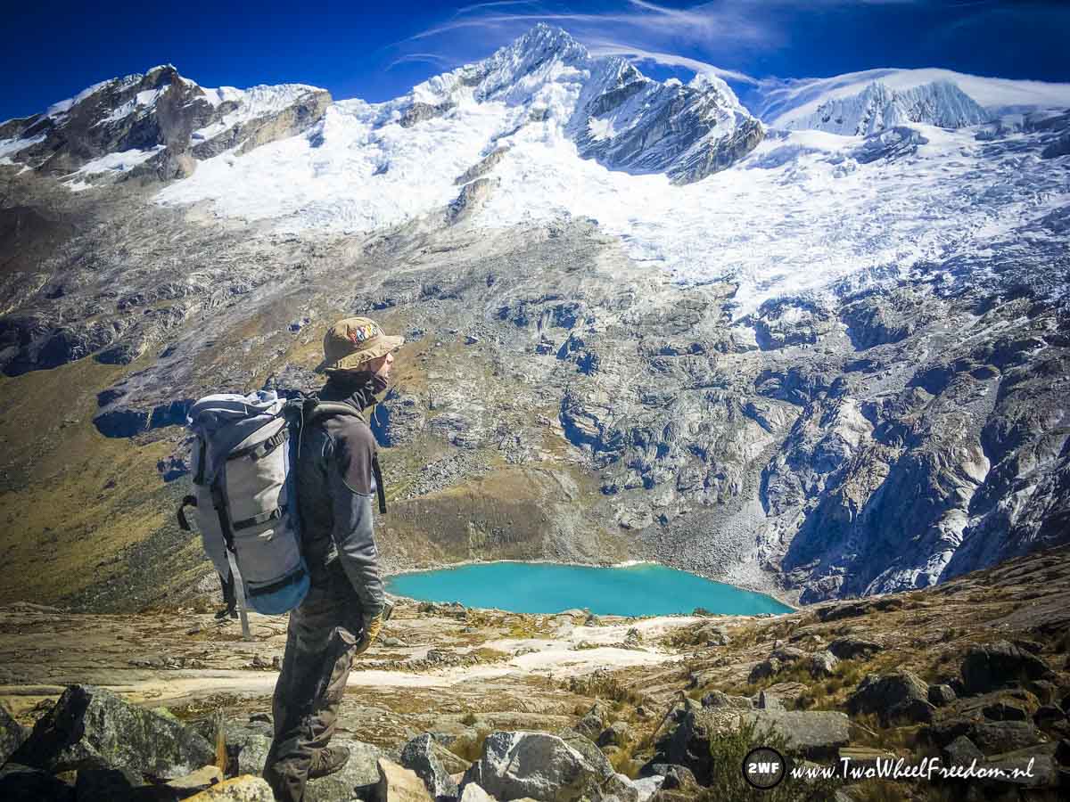
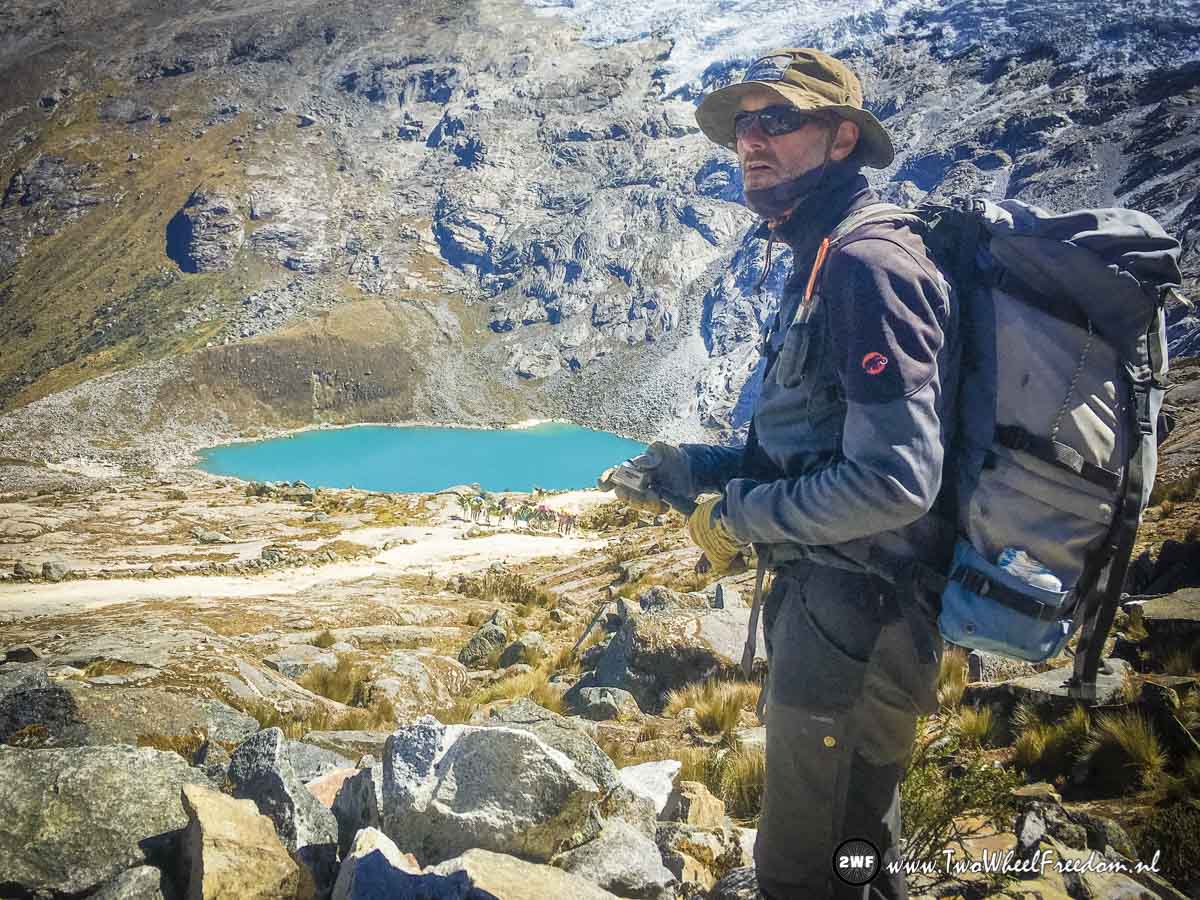
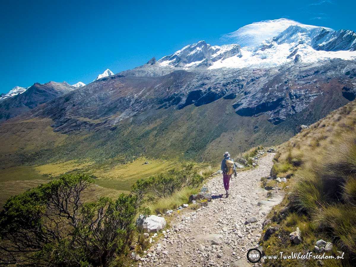
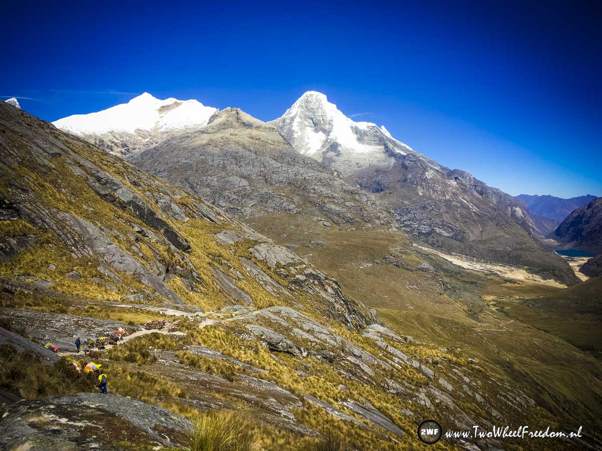
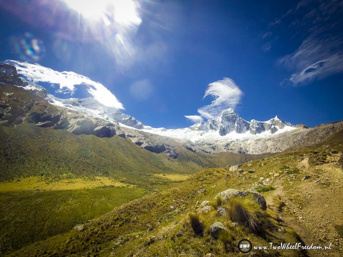
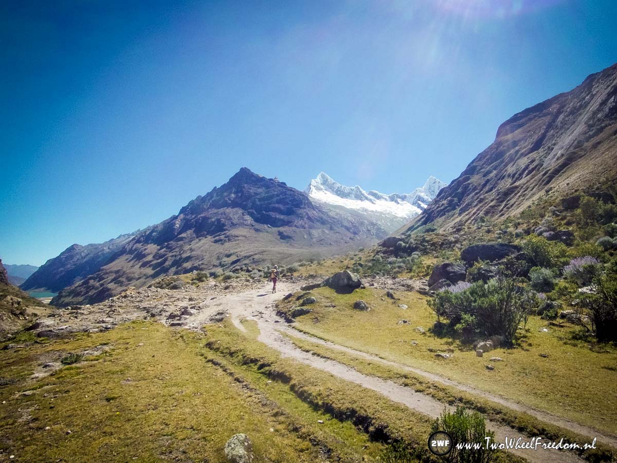
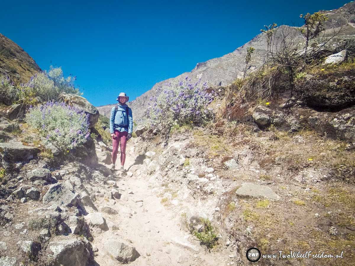
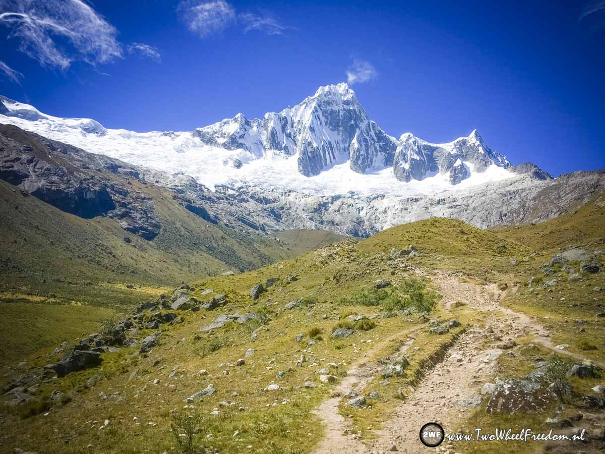
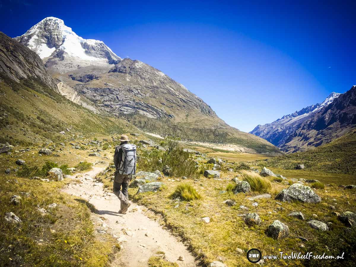
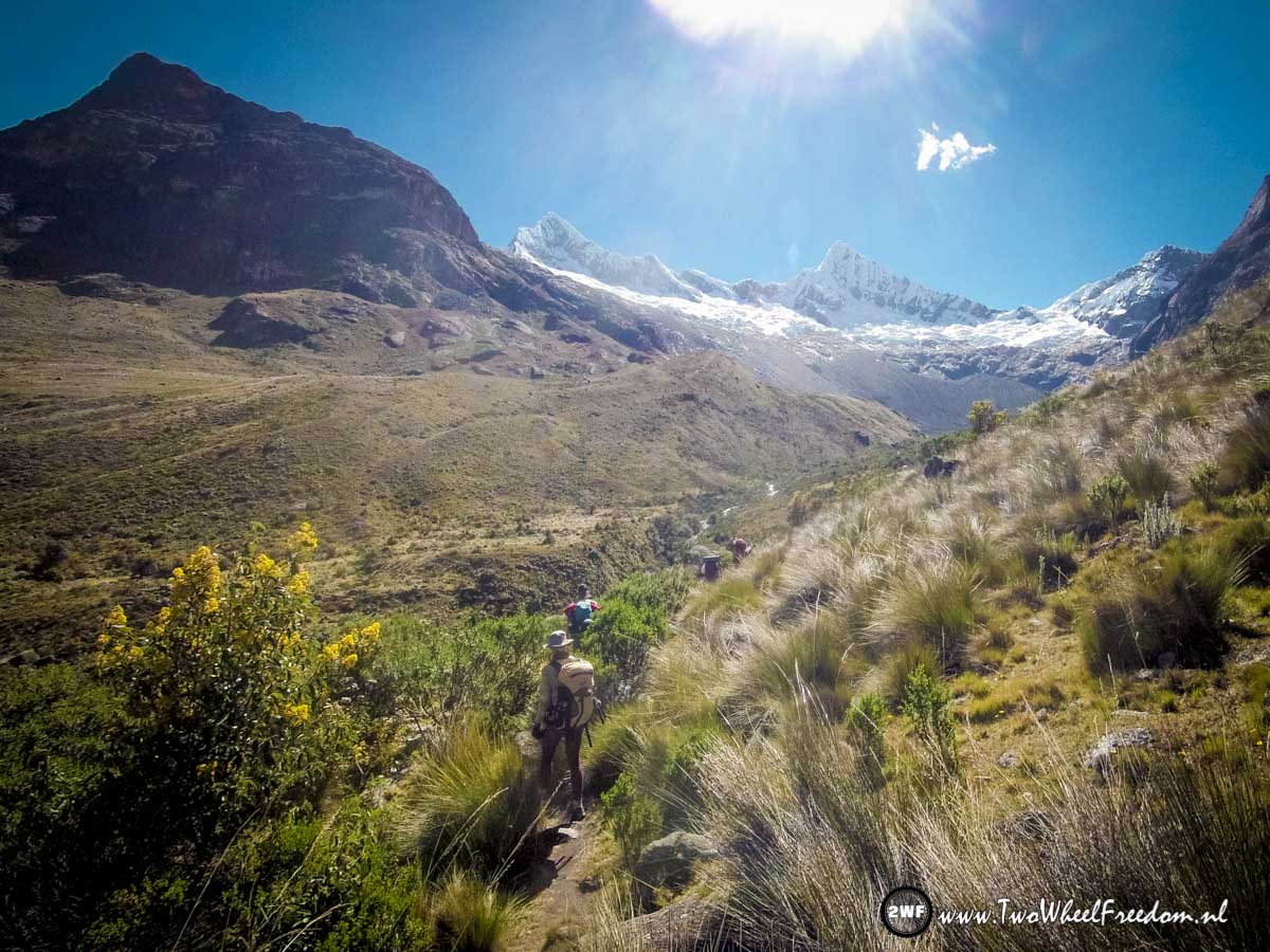
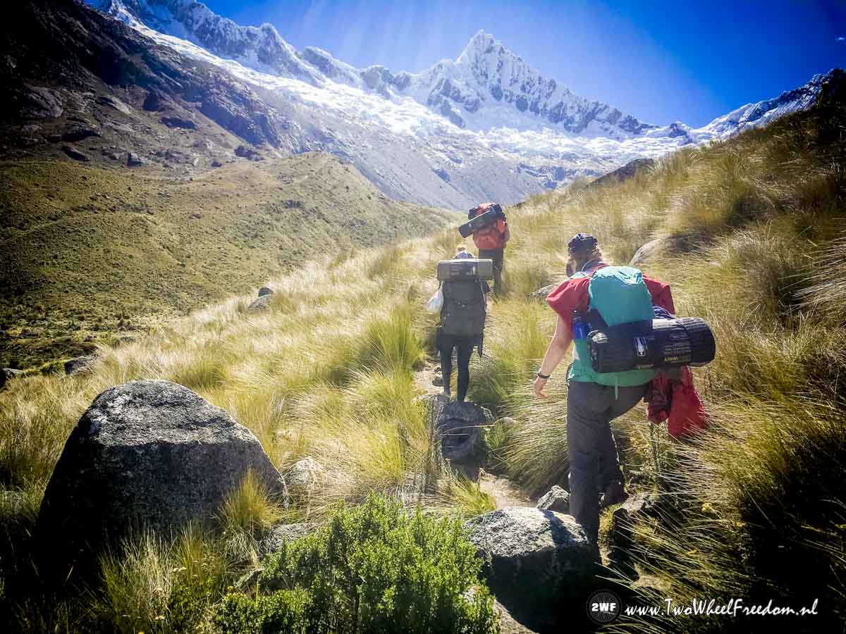
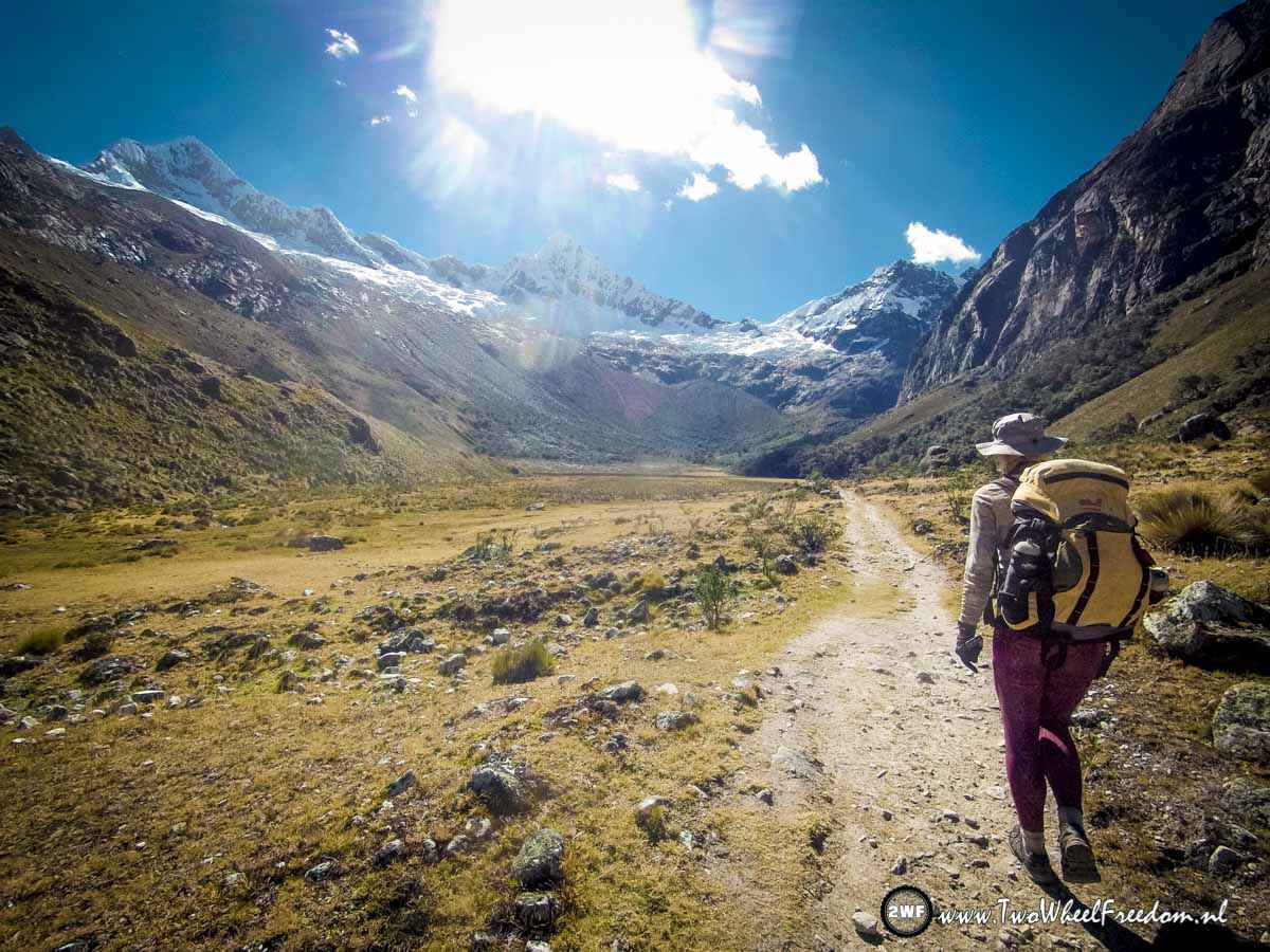
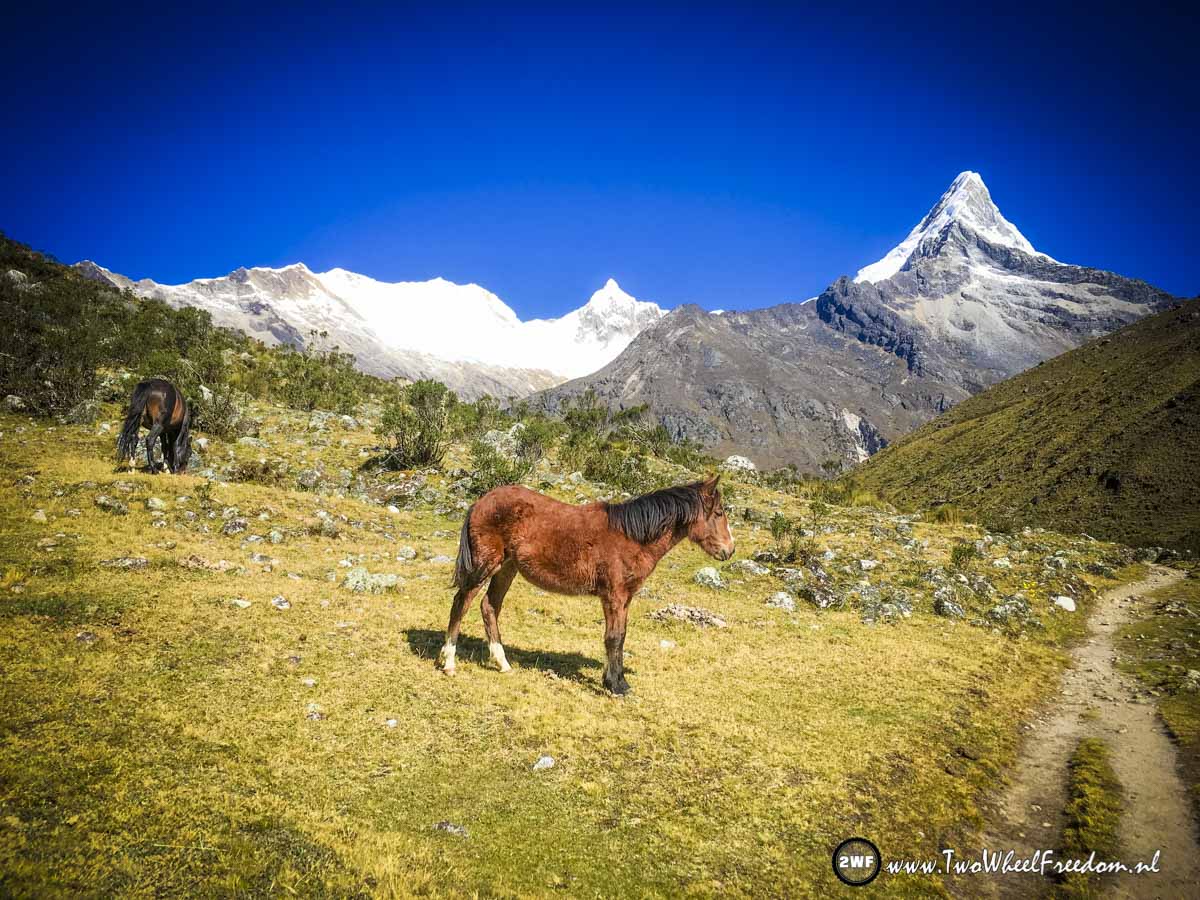
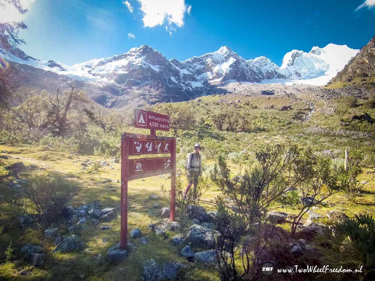
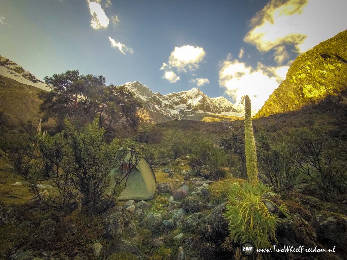
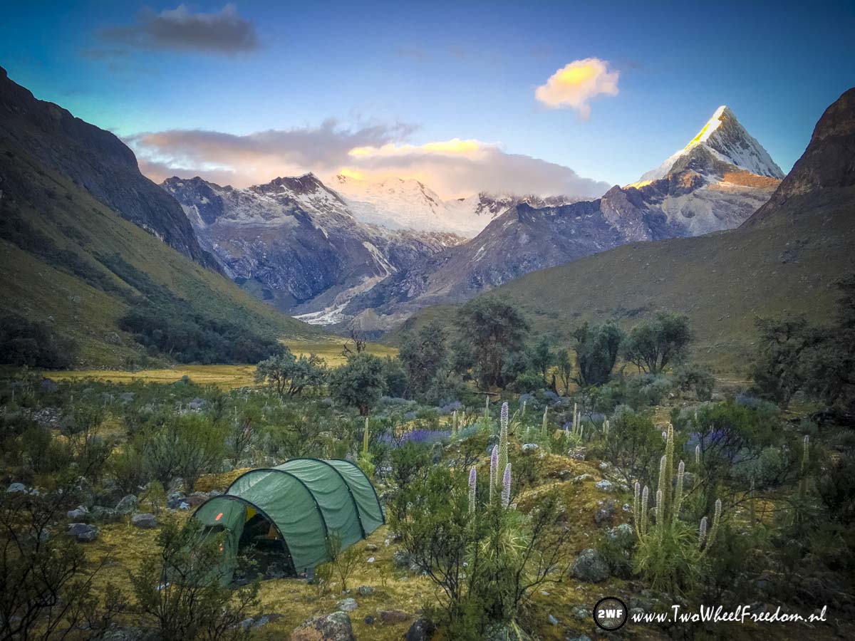
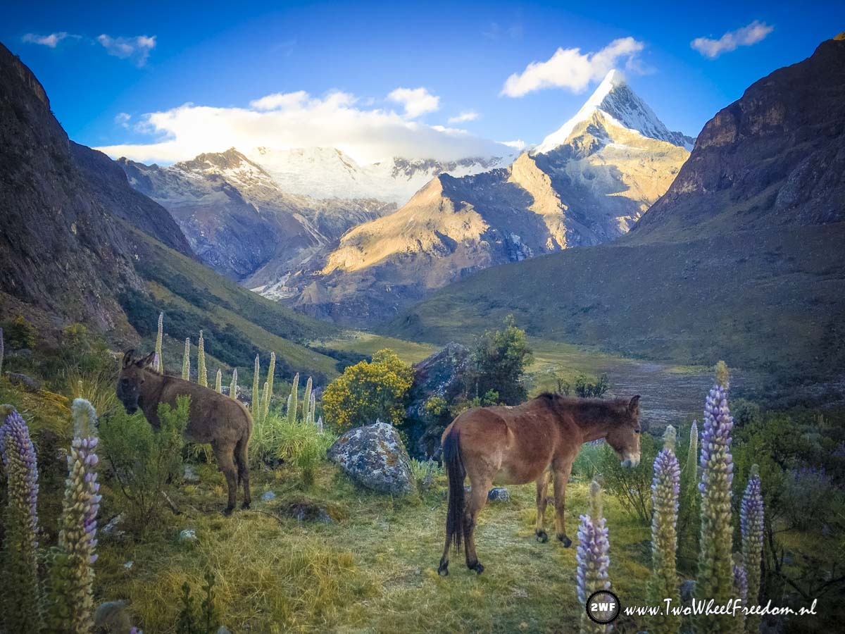
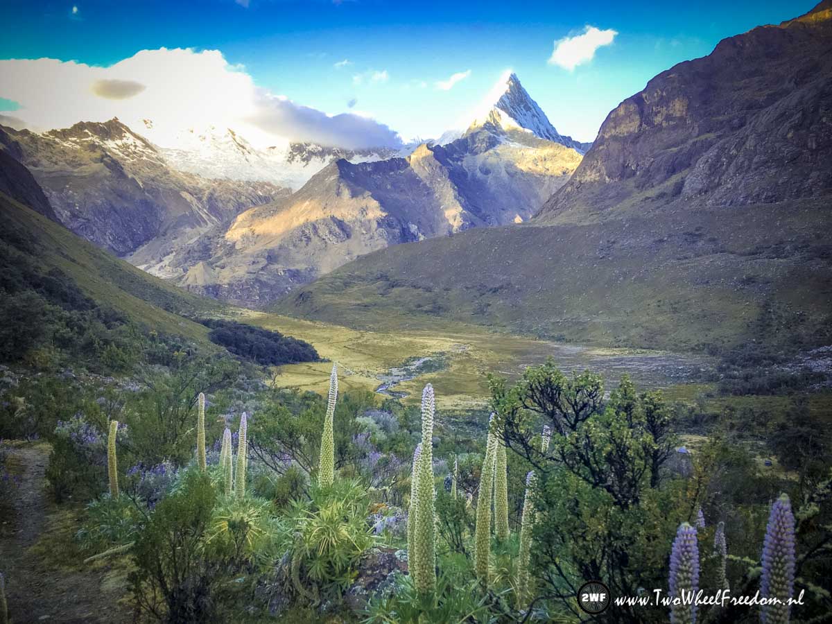
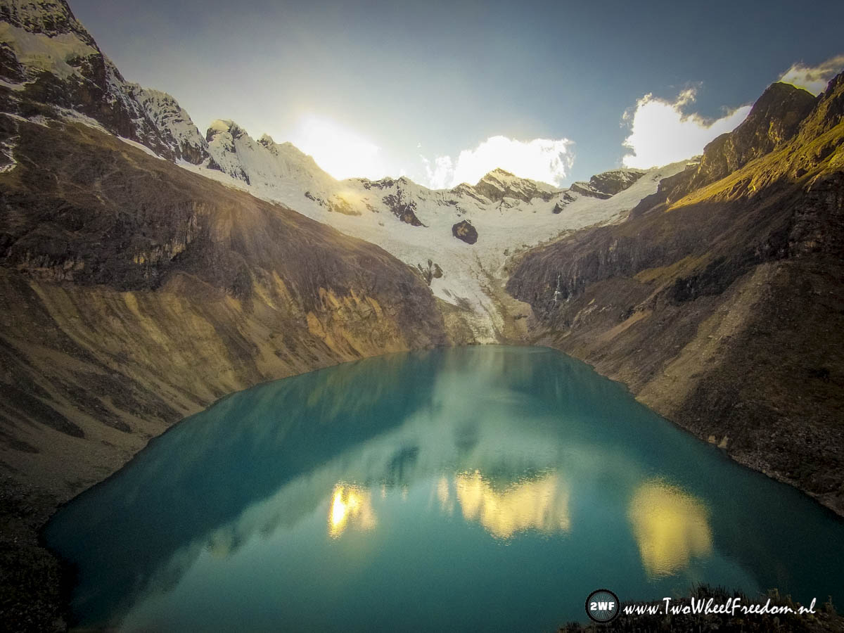
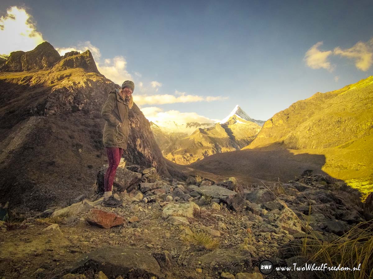
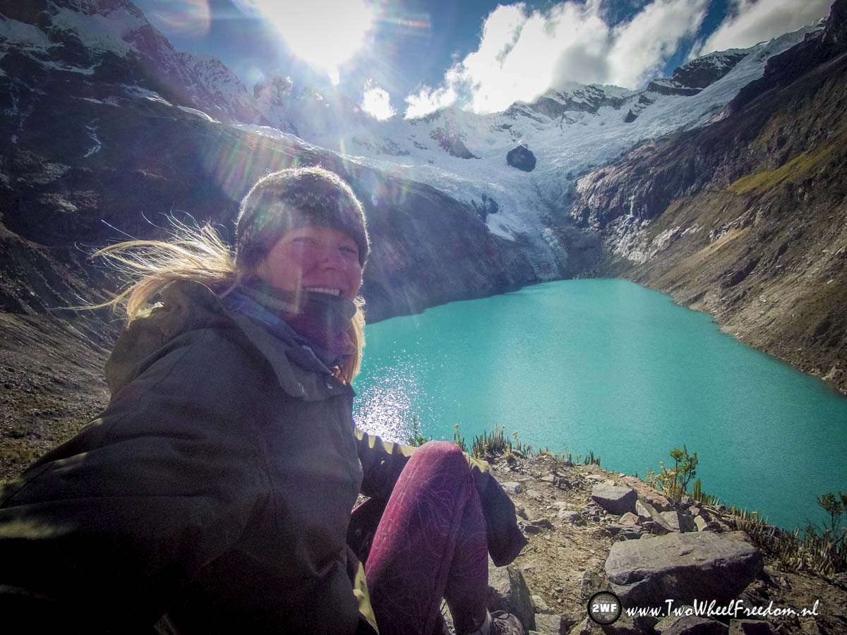
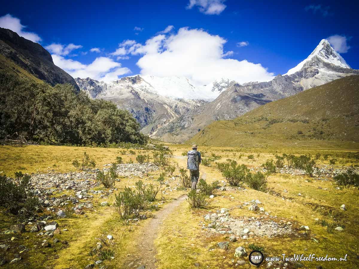
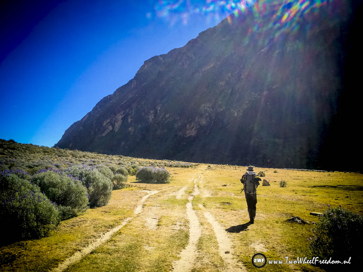
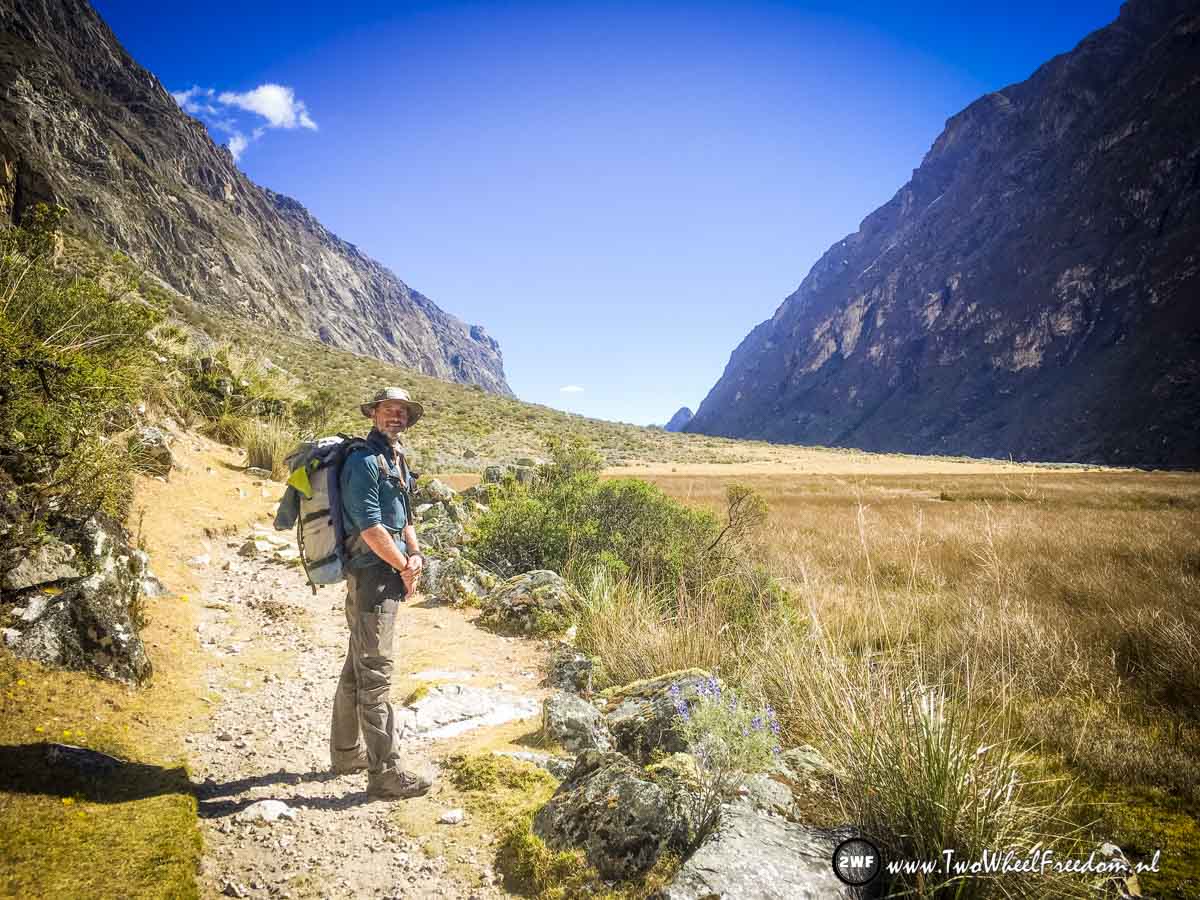
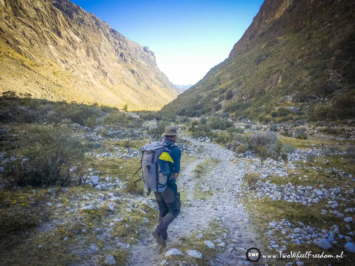
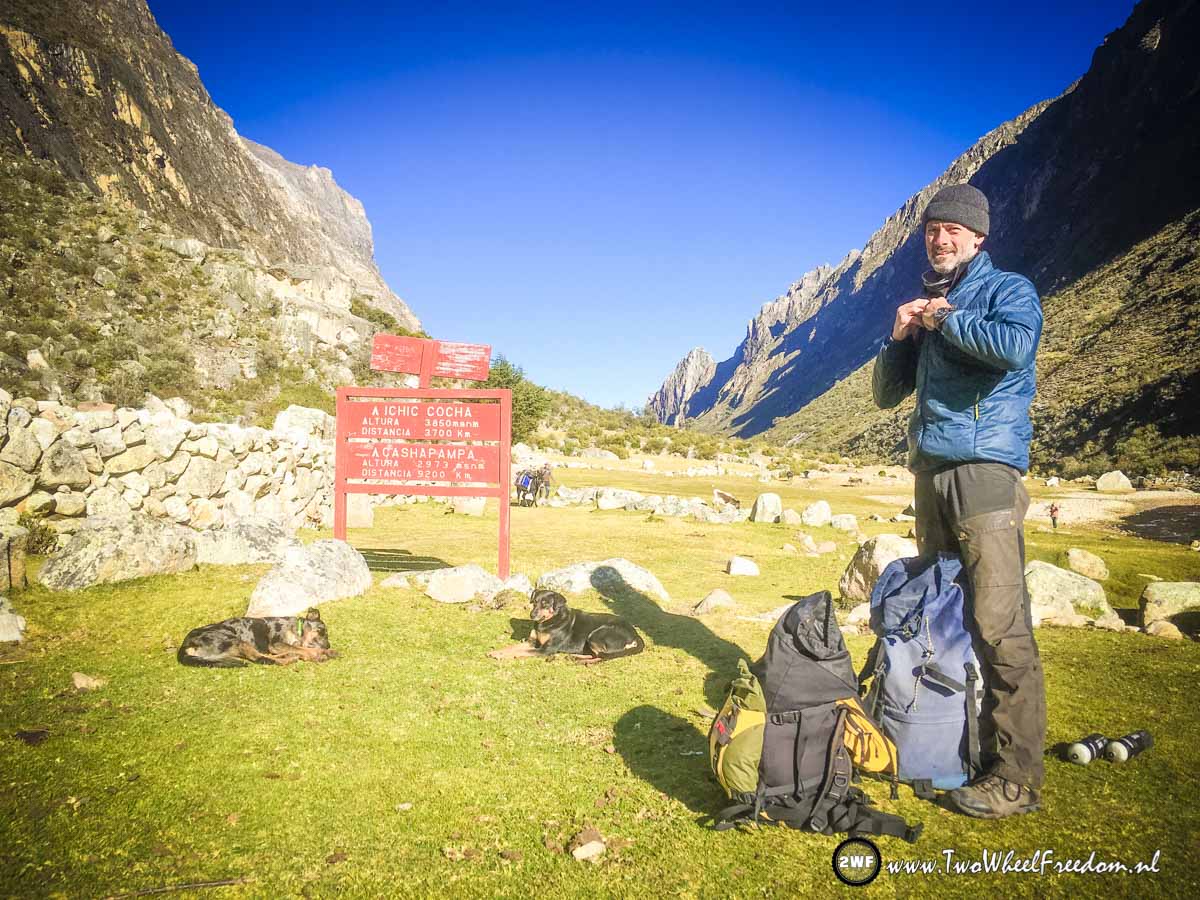
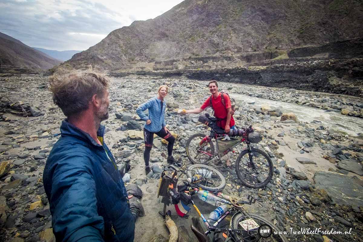
Finished the Santa Cruz Trail, ready to hop on the bikes again. No not the motorbikes 😉
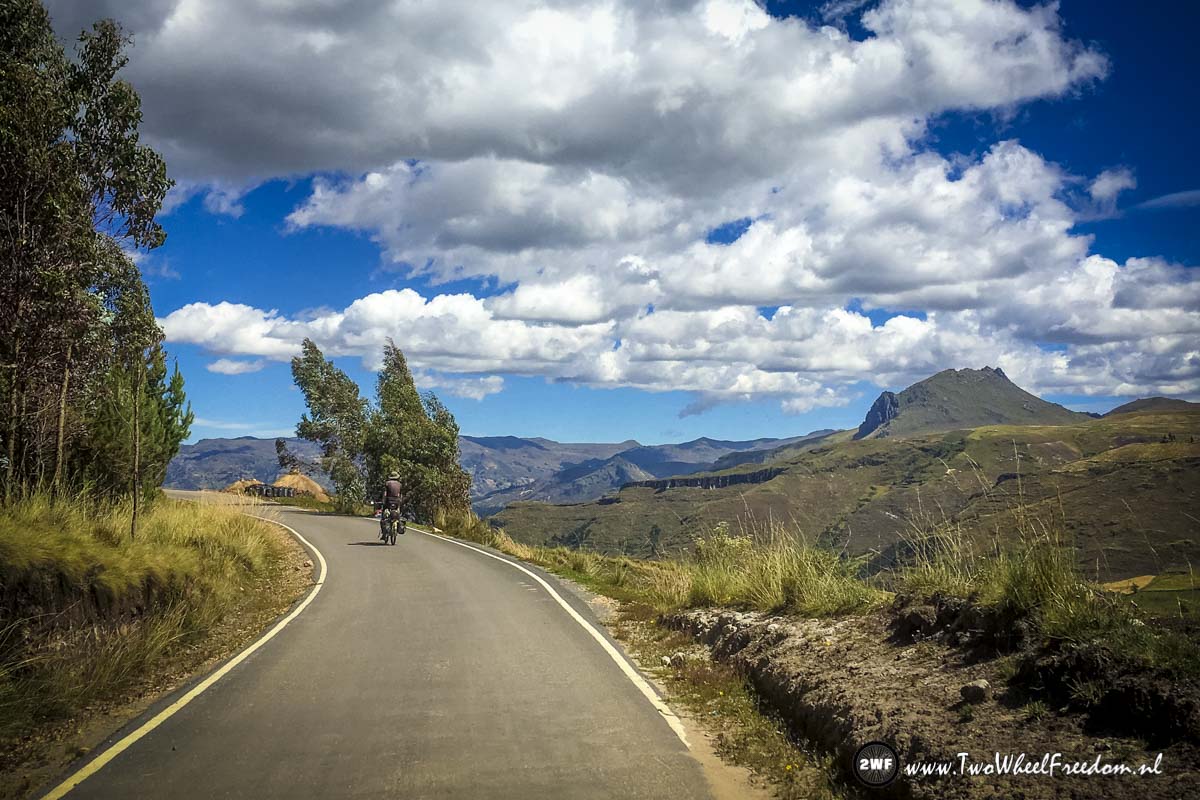
To Huaraz
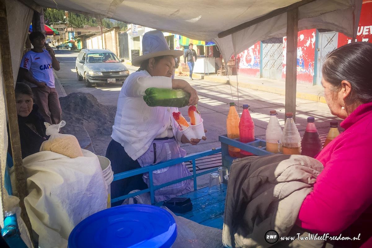
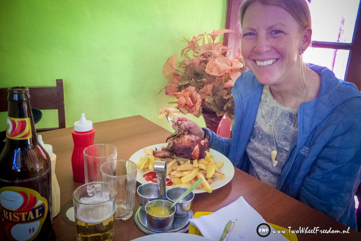
Ice cream the Peruvian way.
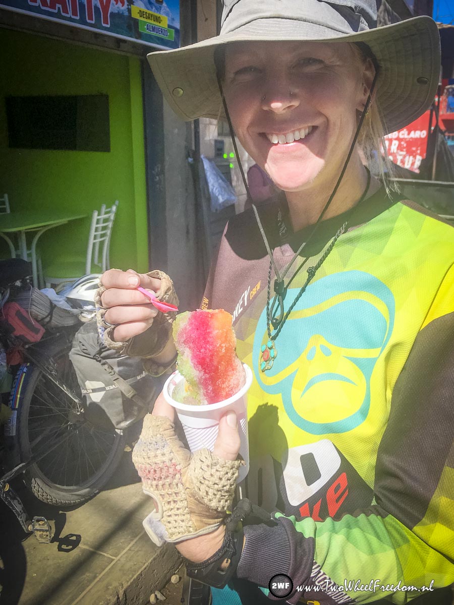
Jummy!!!!

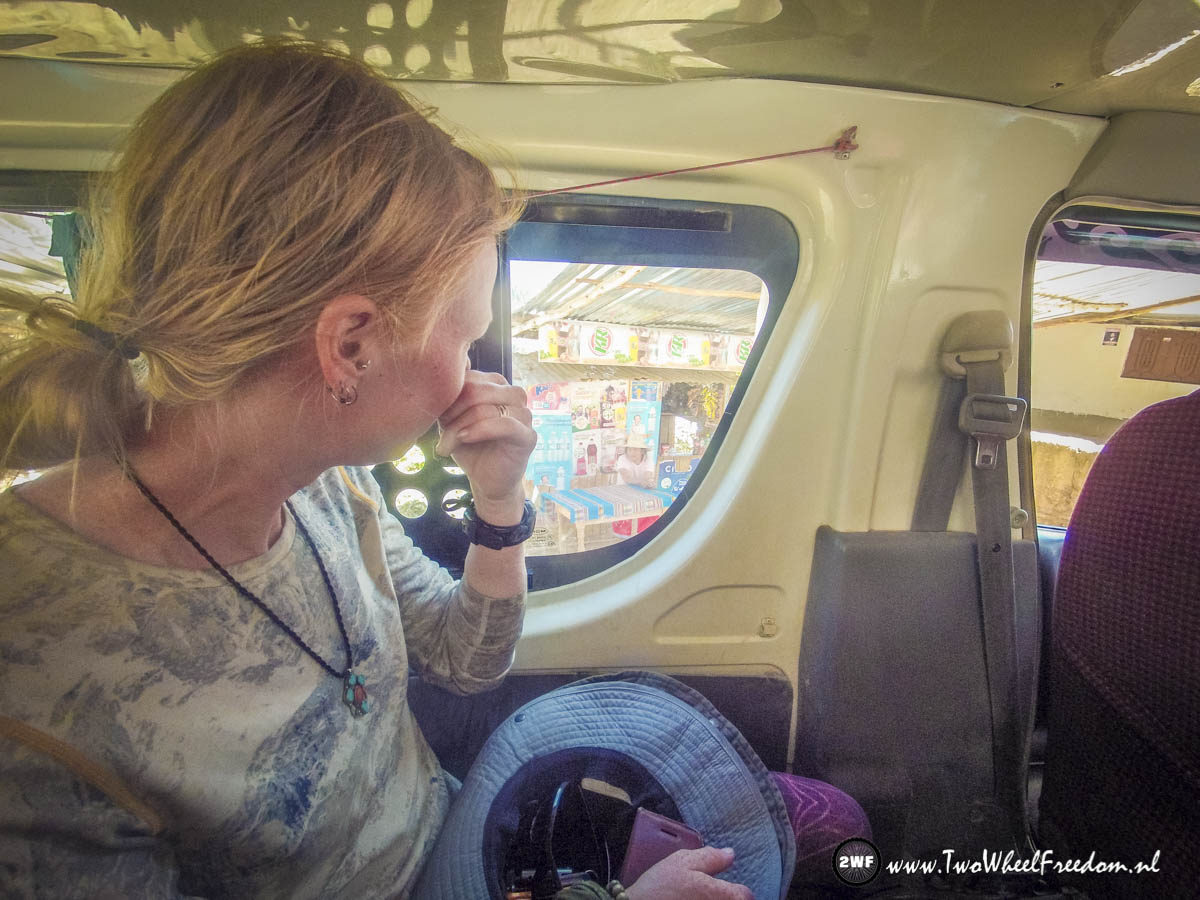
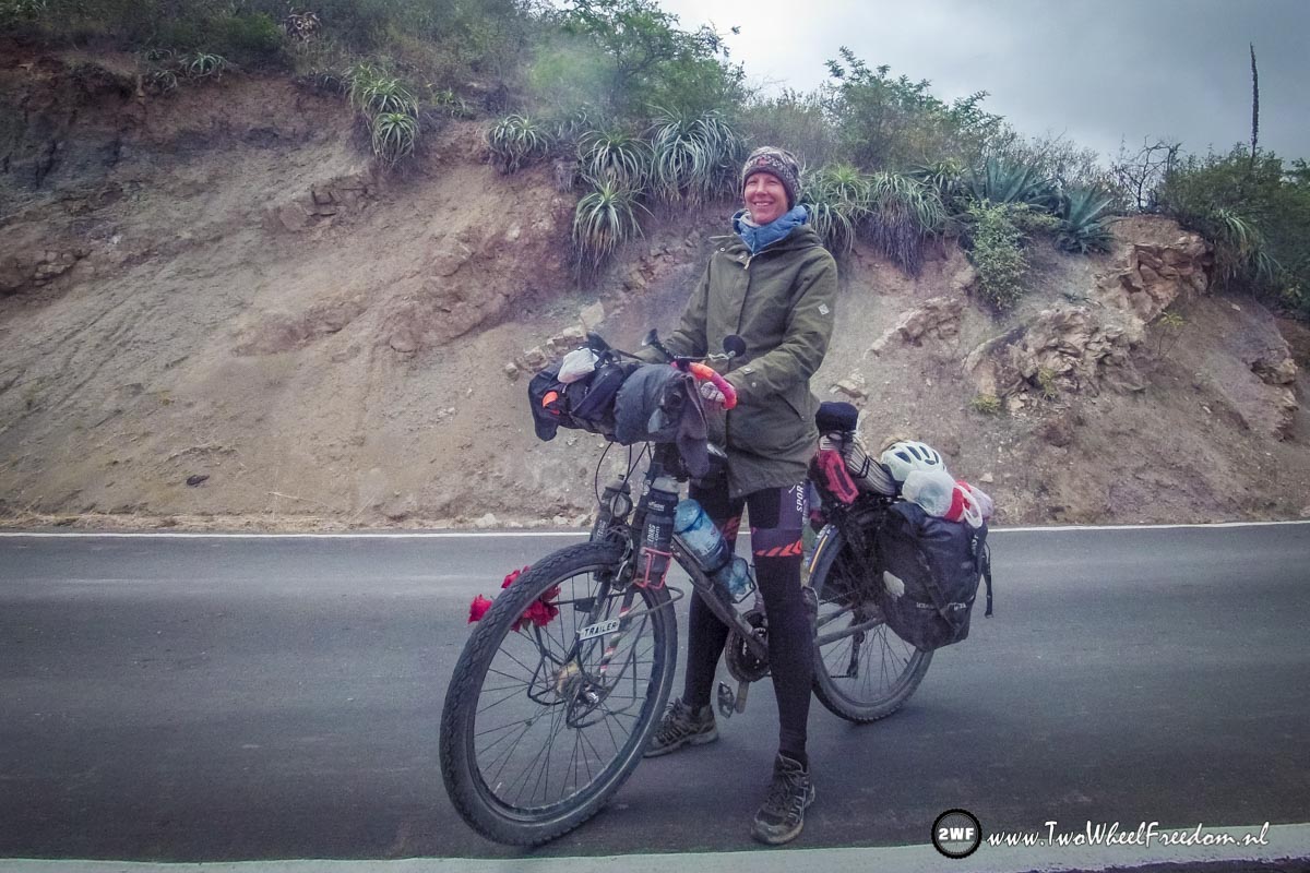
Get the bikes ready to stuff in the bus.
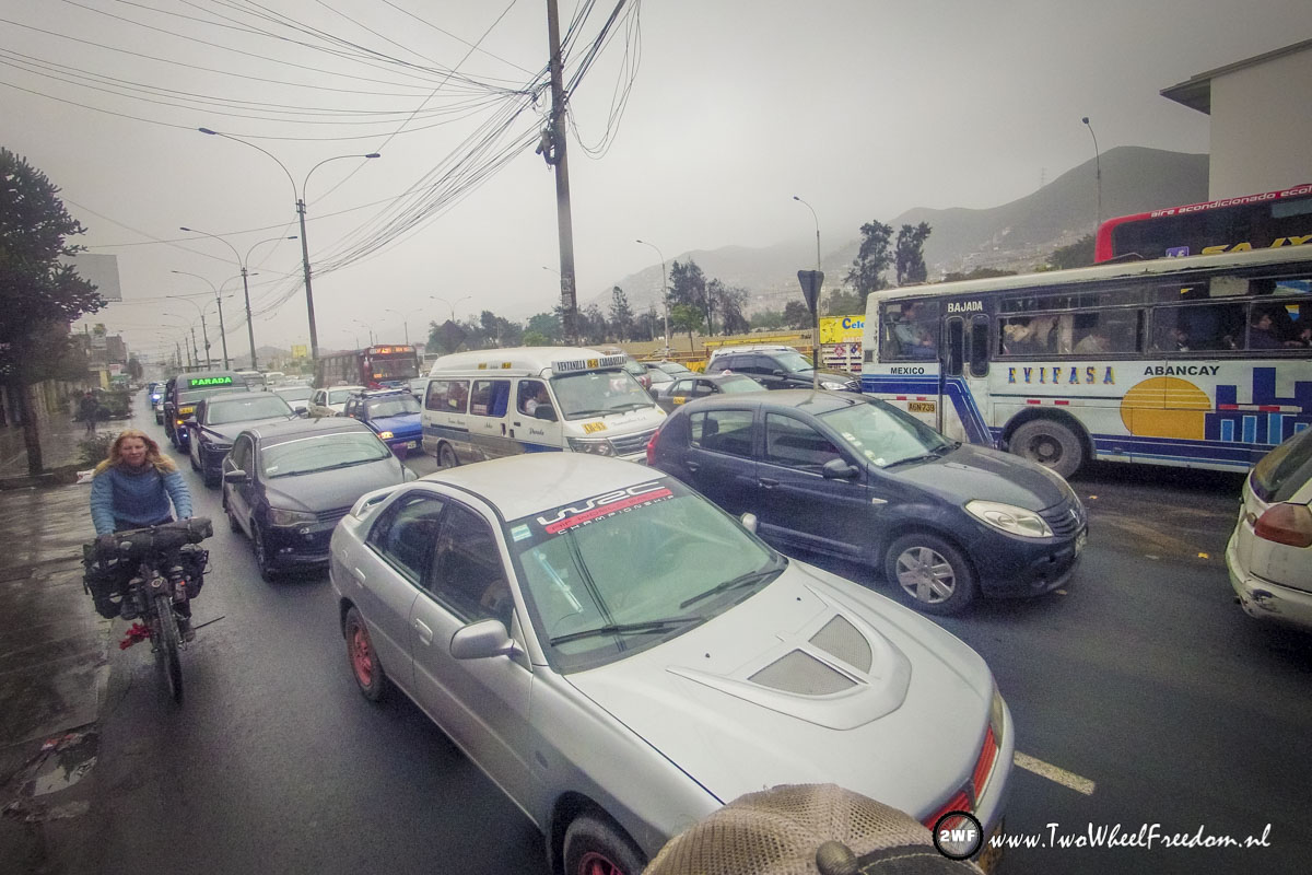
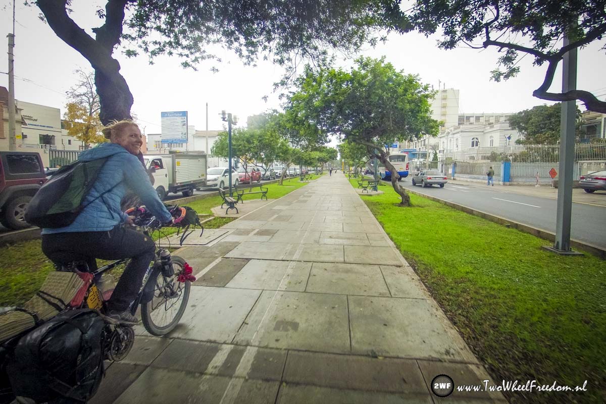
After a night in the bus into the busy morning traffic of Lima.
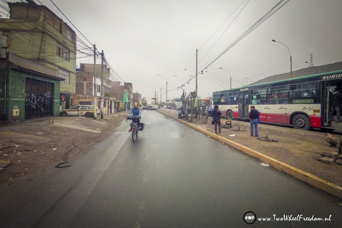
Bike lanes 😀
I Like!

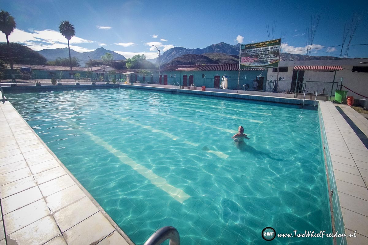
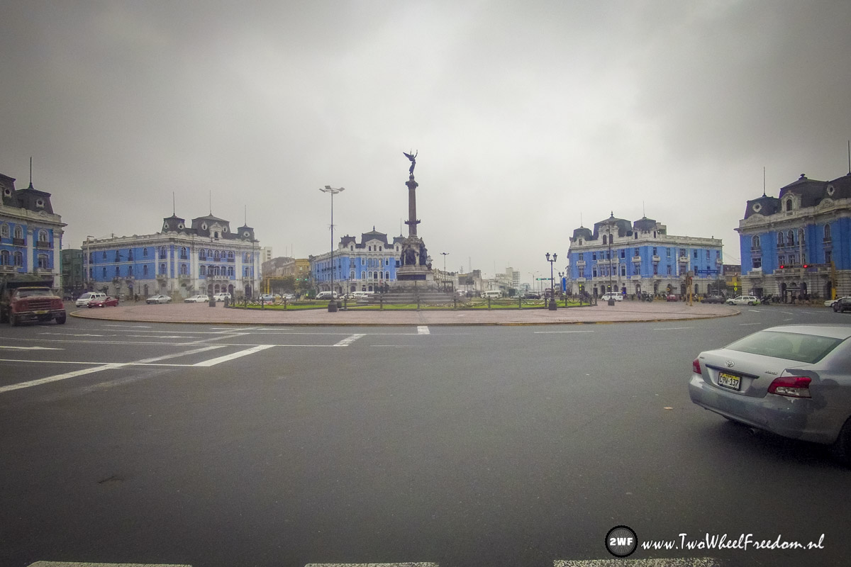
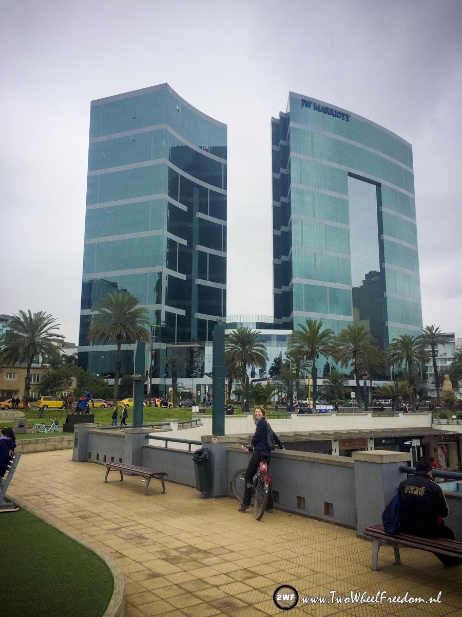
Lima is on the coast. The weather was cold and rainy so no swimming for us.

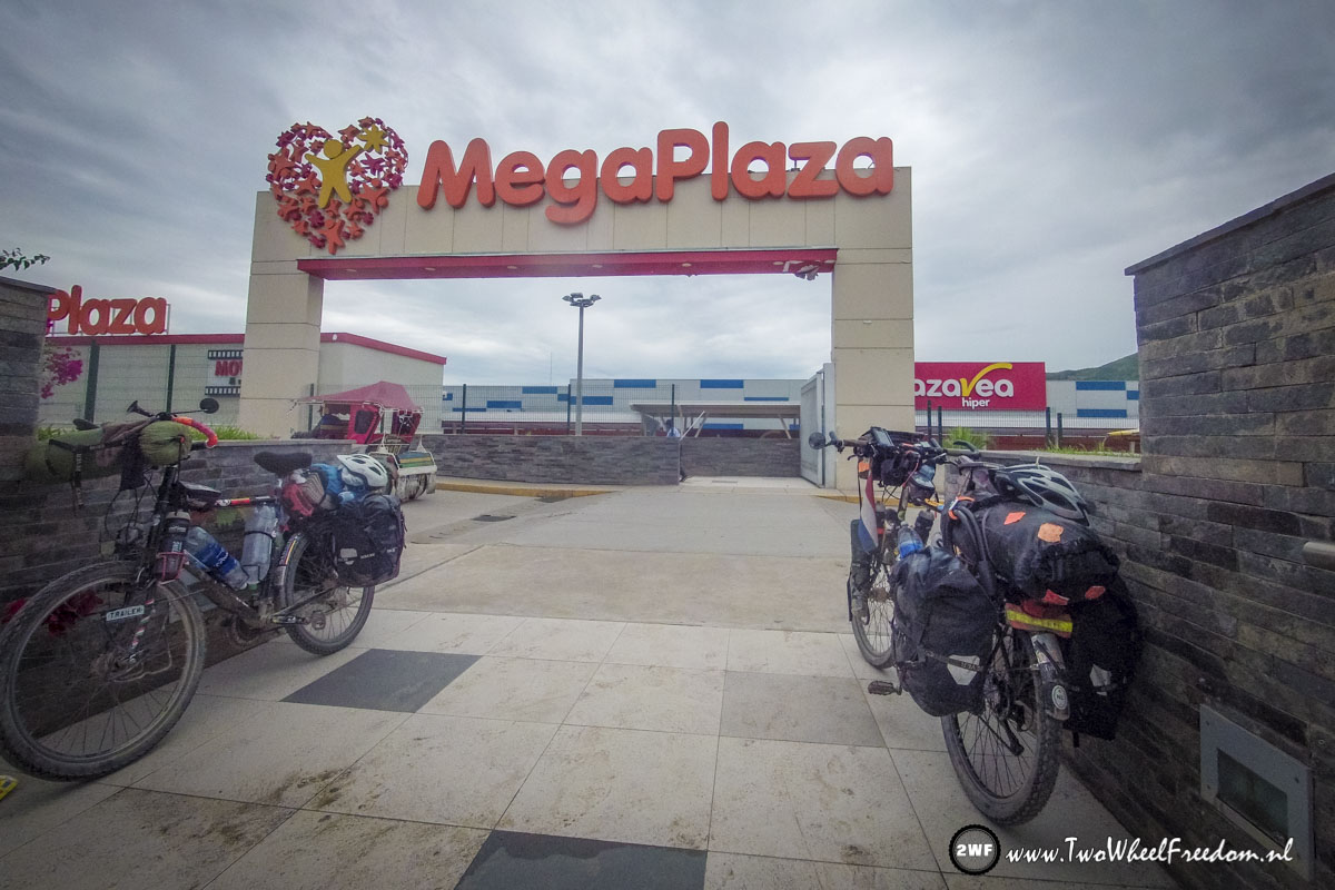
Shopping instead.
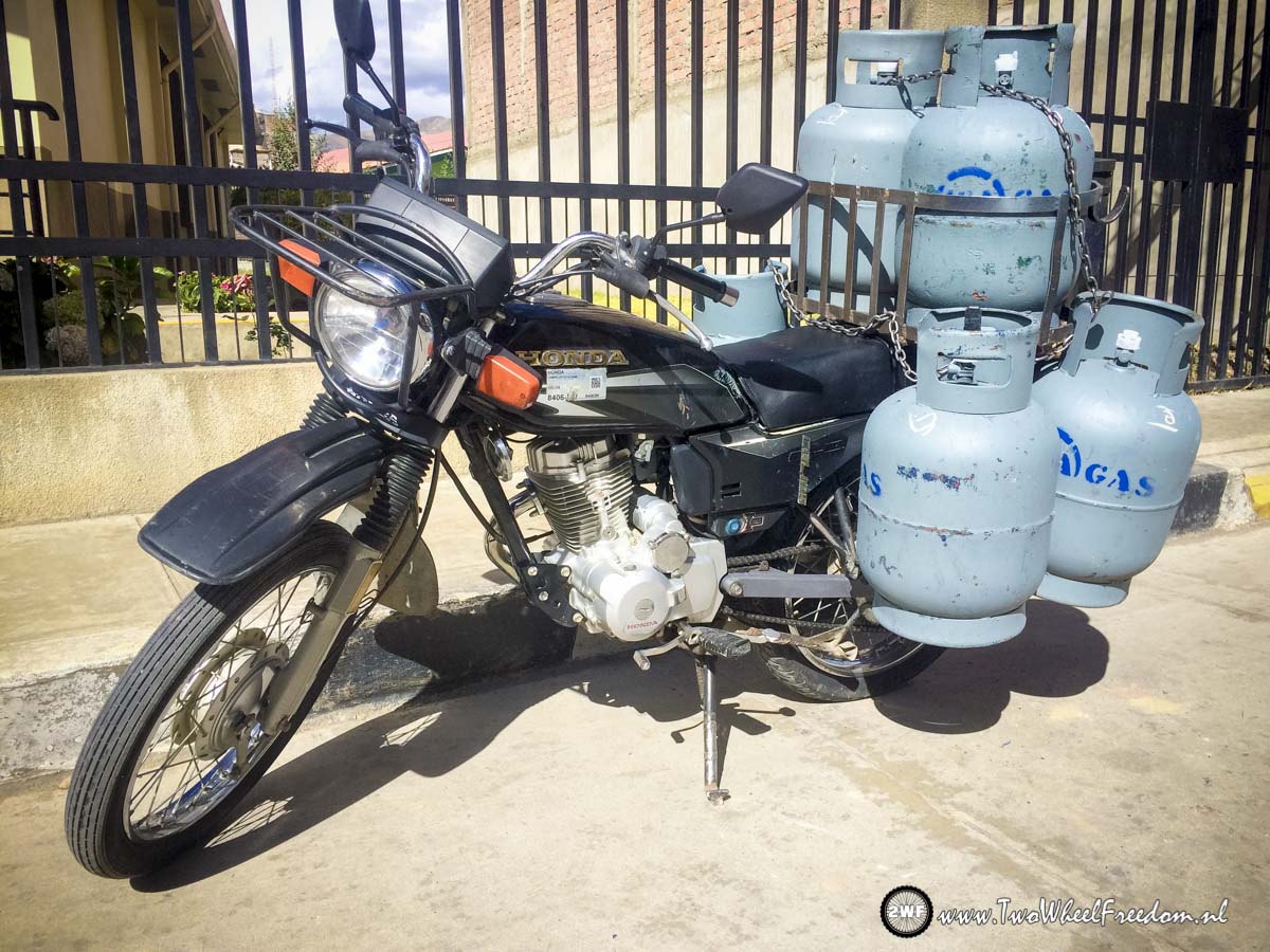
Gas Mobile
Dutch Embassy
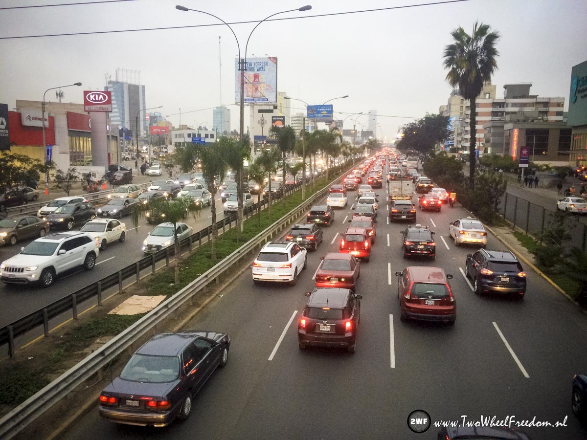
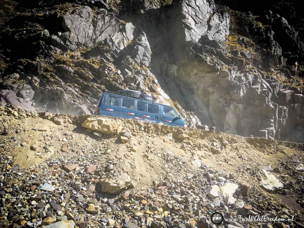
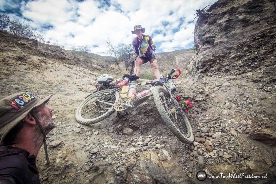
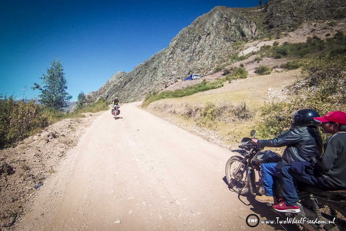
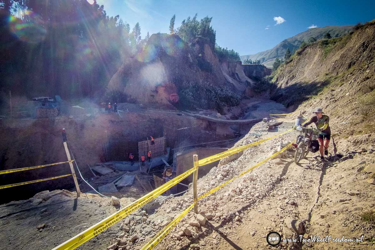
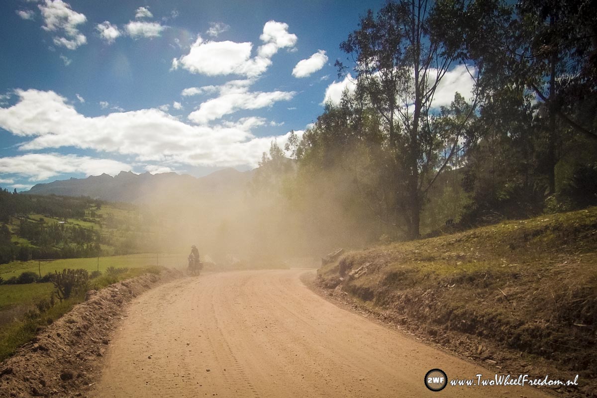
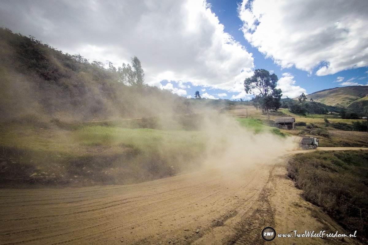
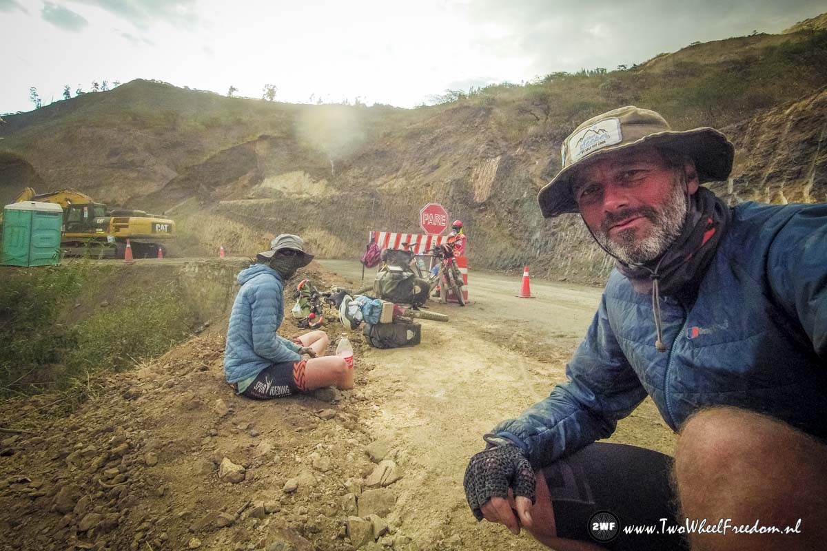
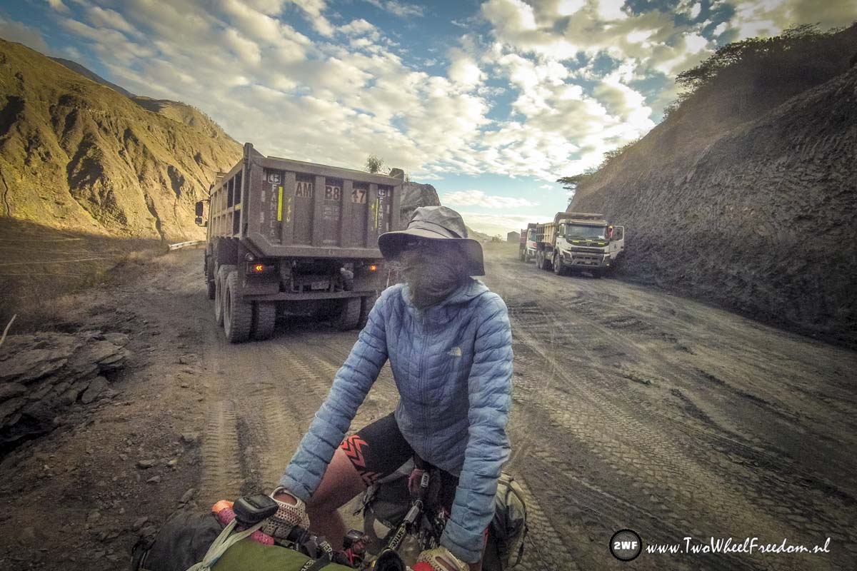
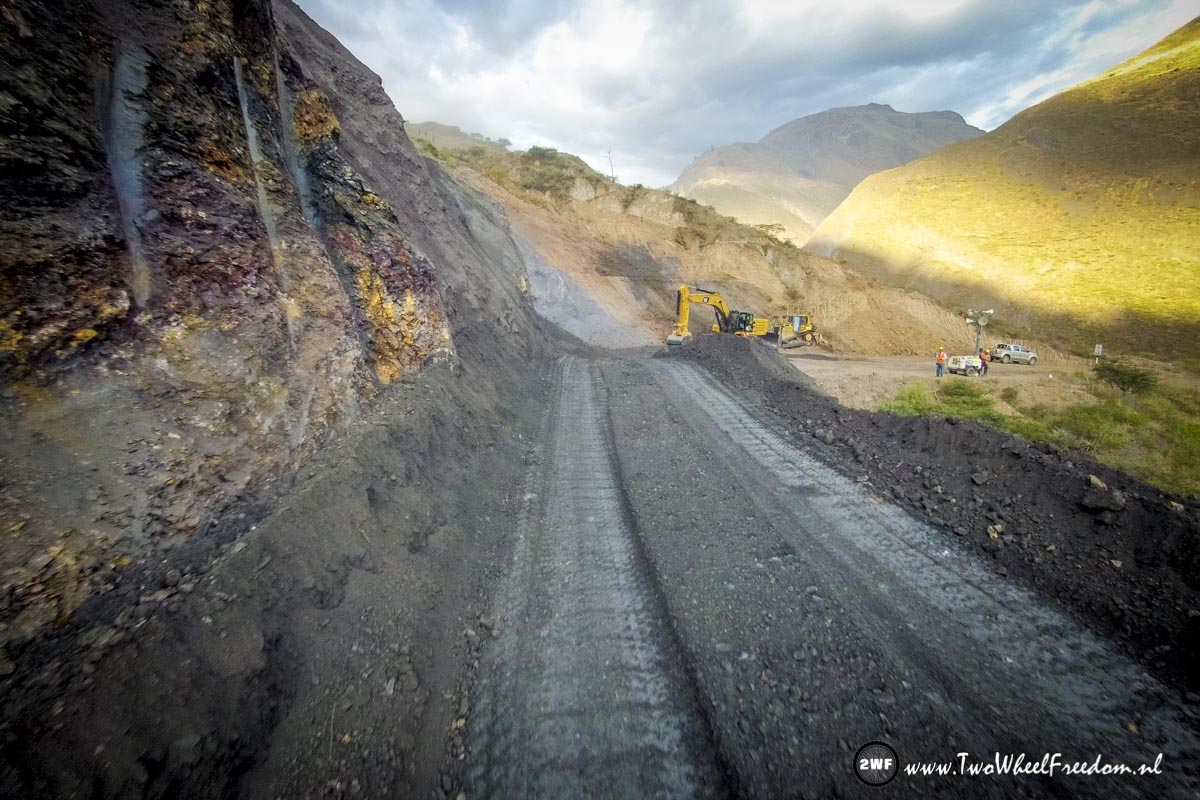
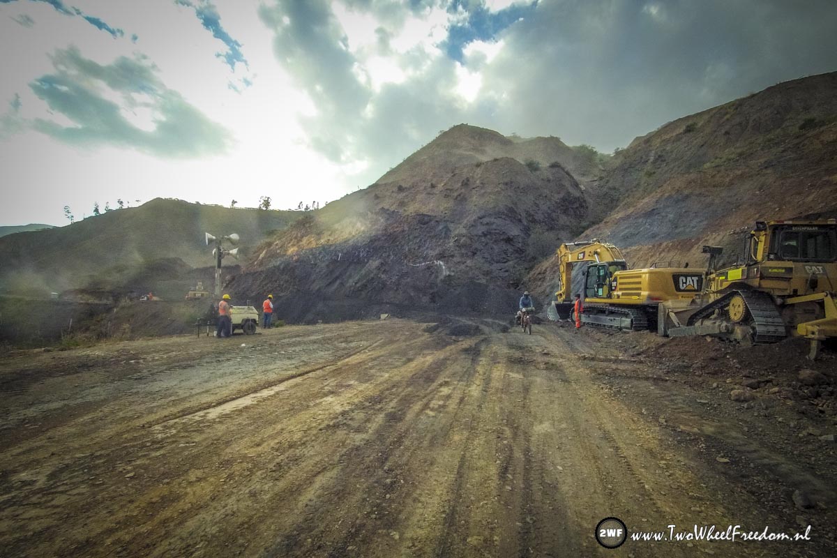
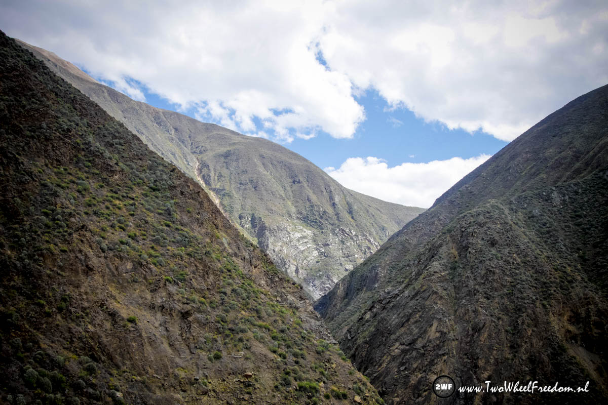
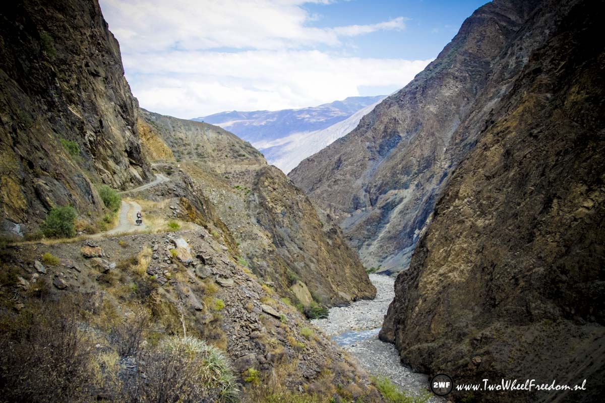
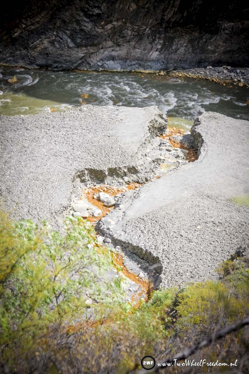
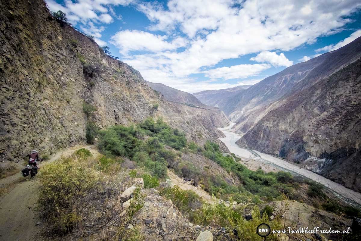
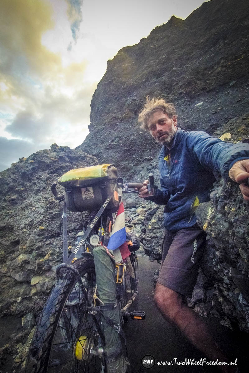
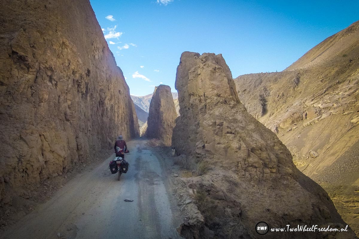
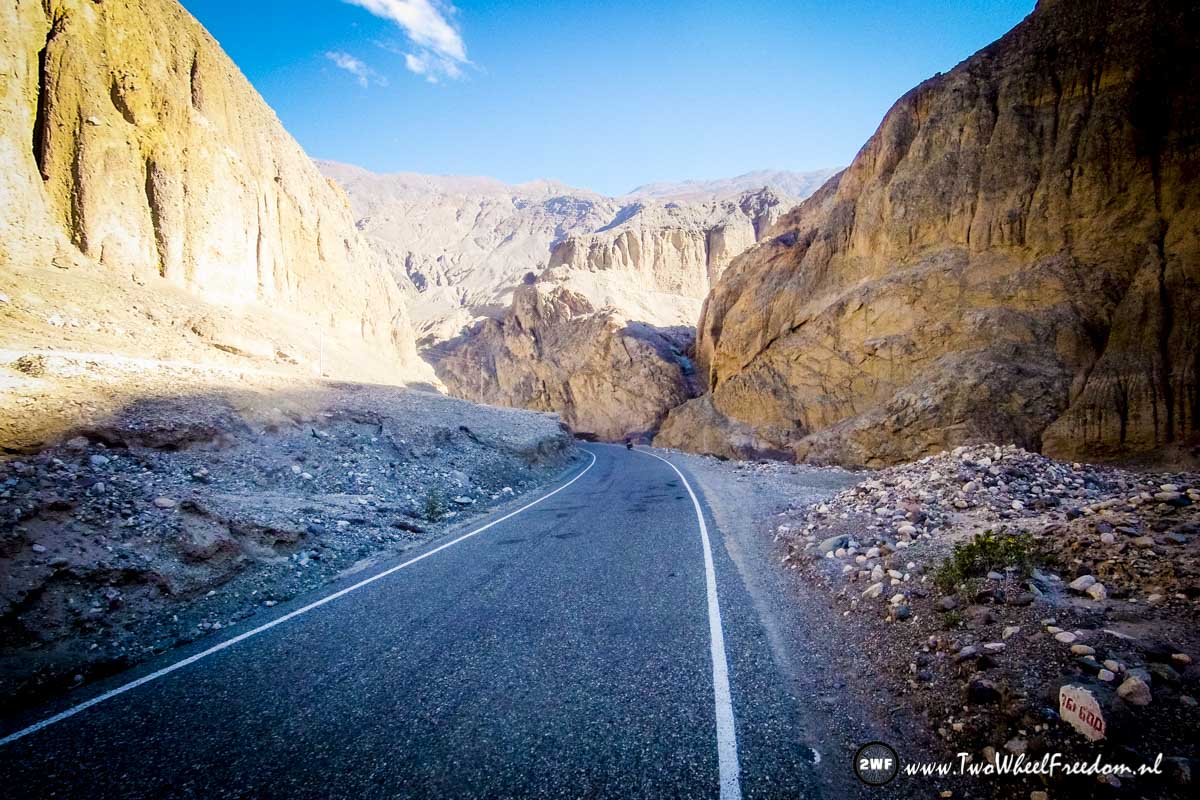
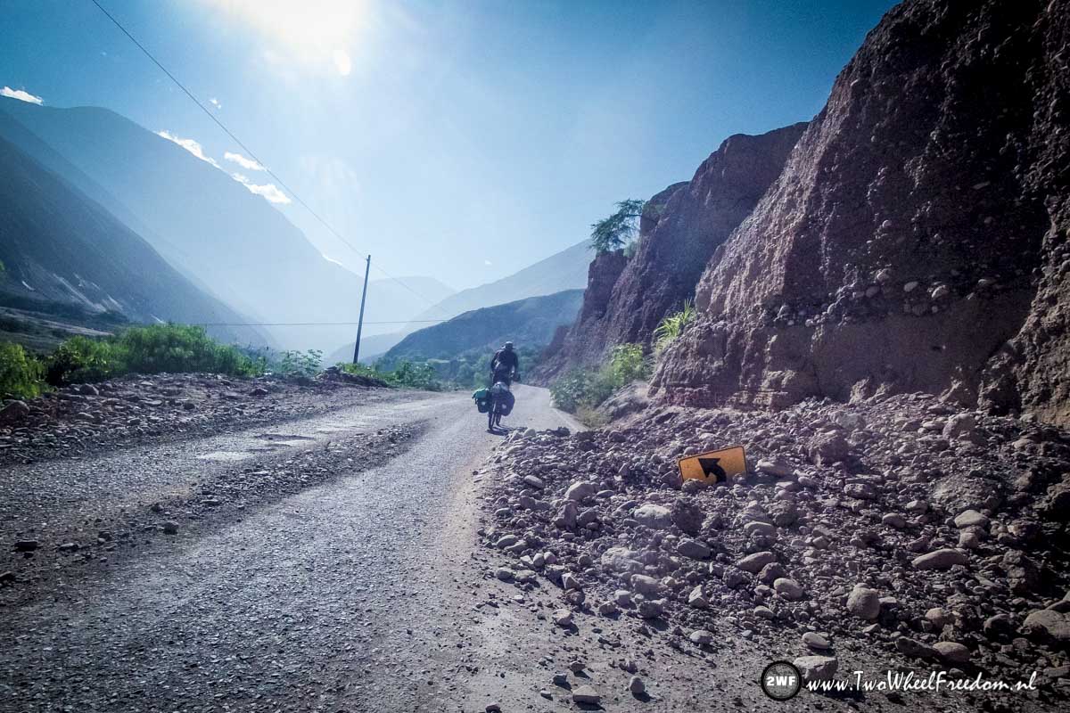
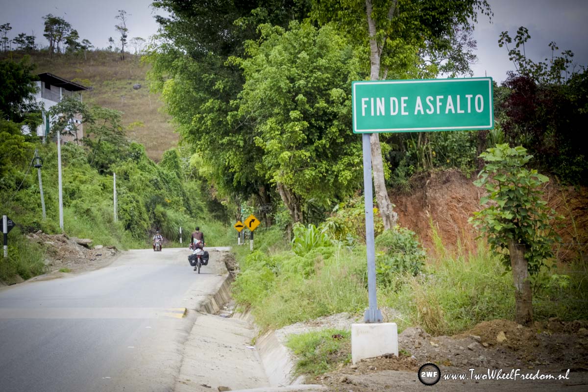
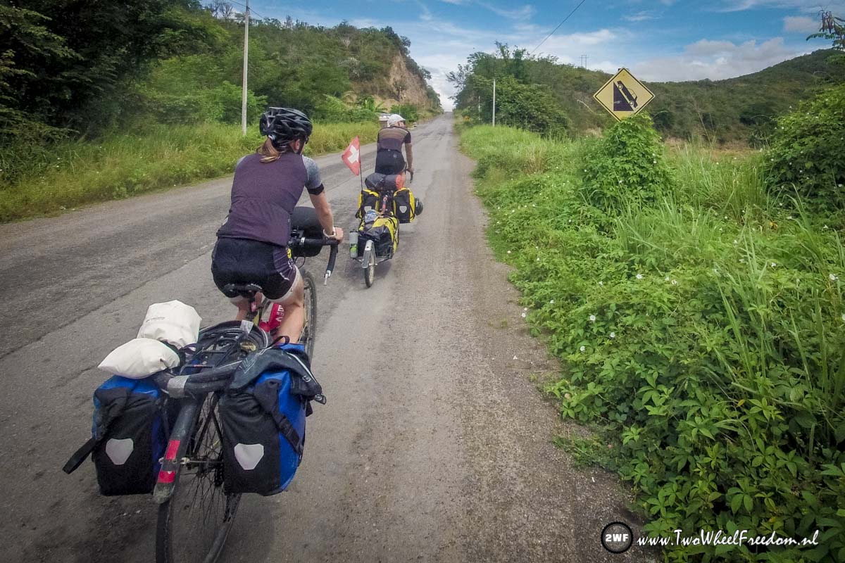
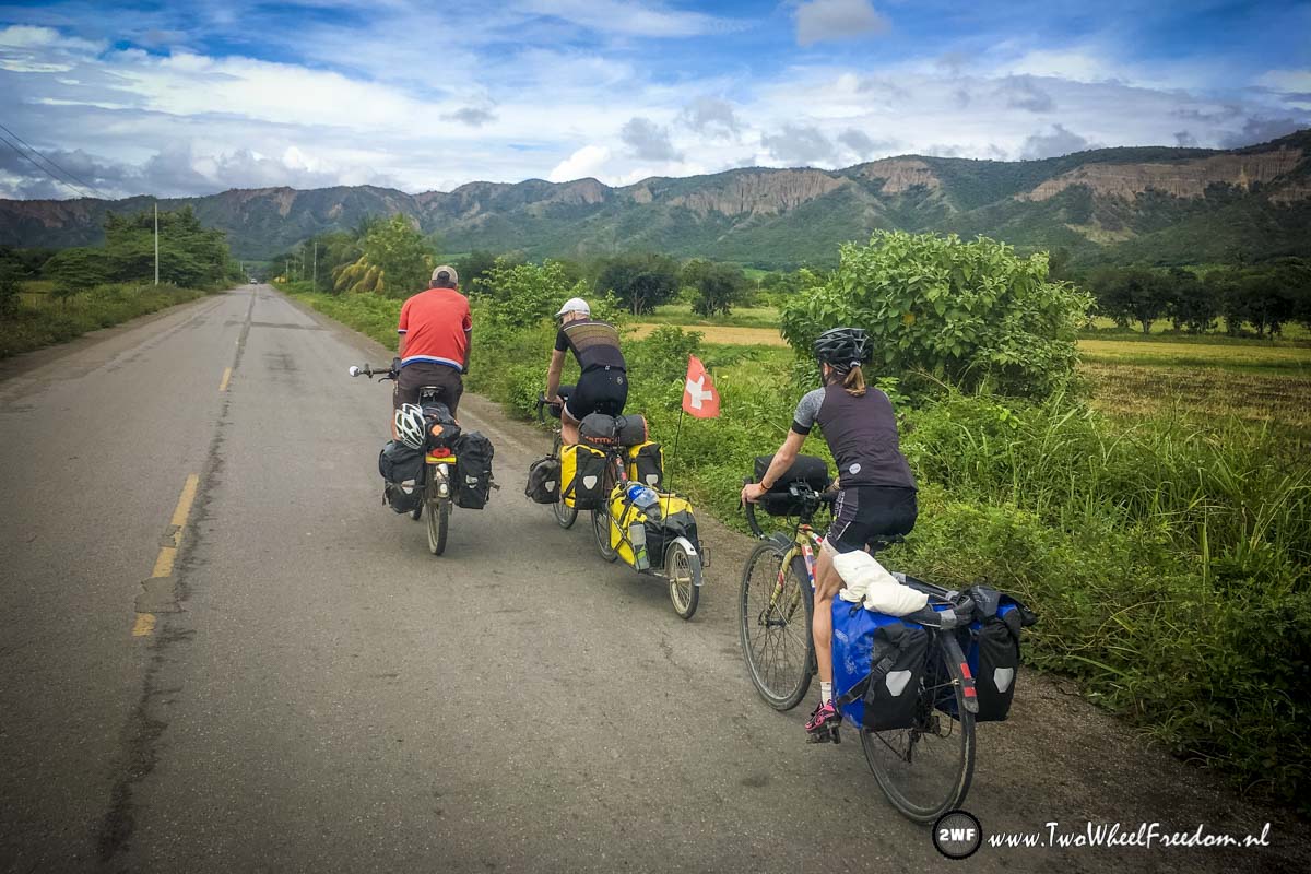
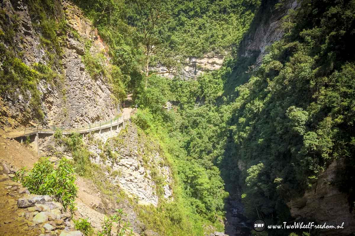
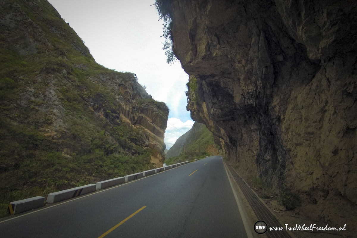
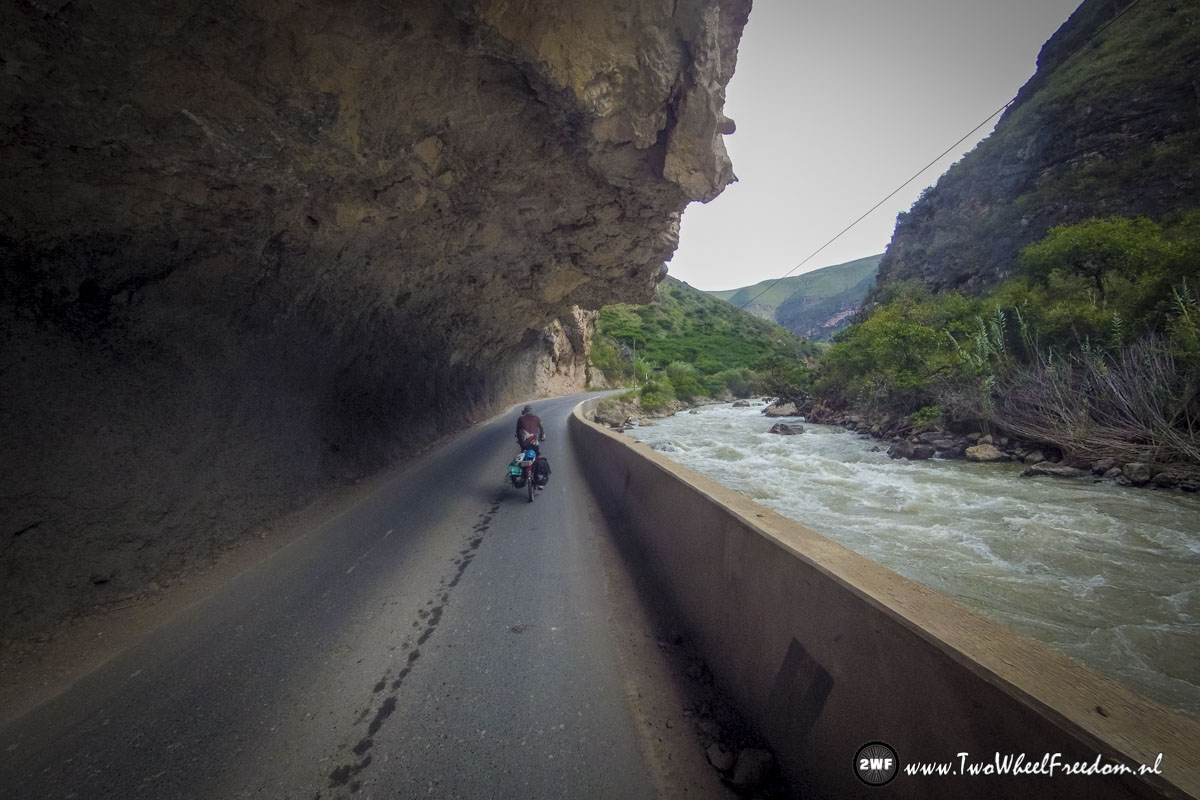
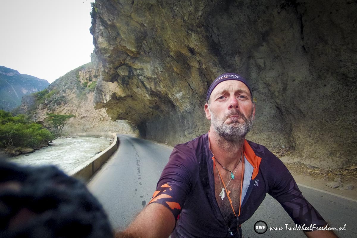
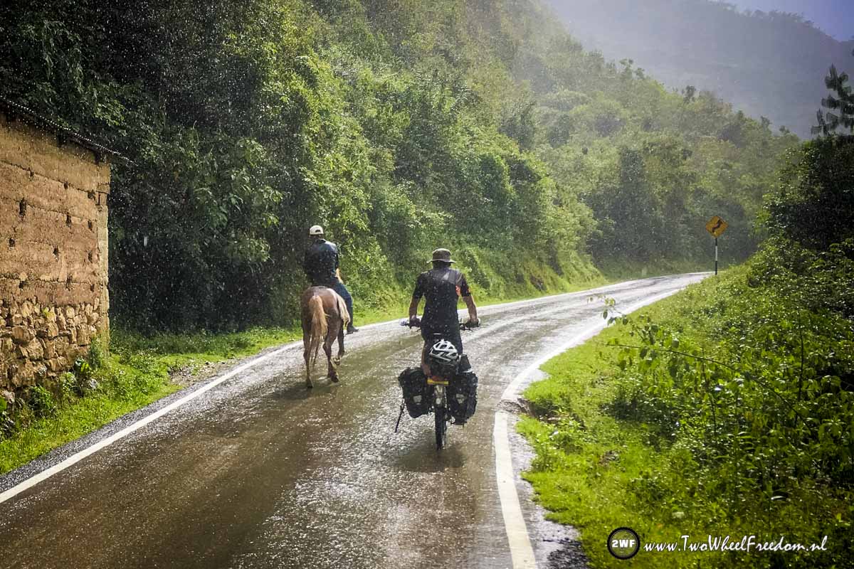
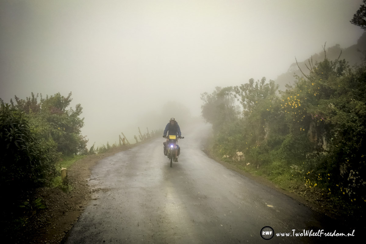
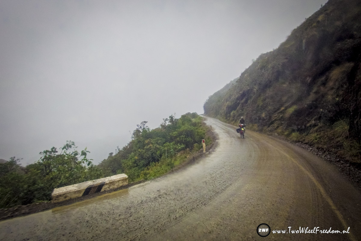
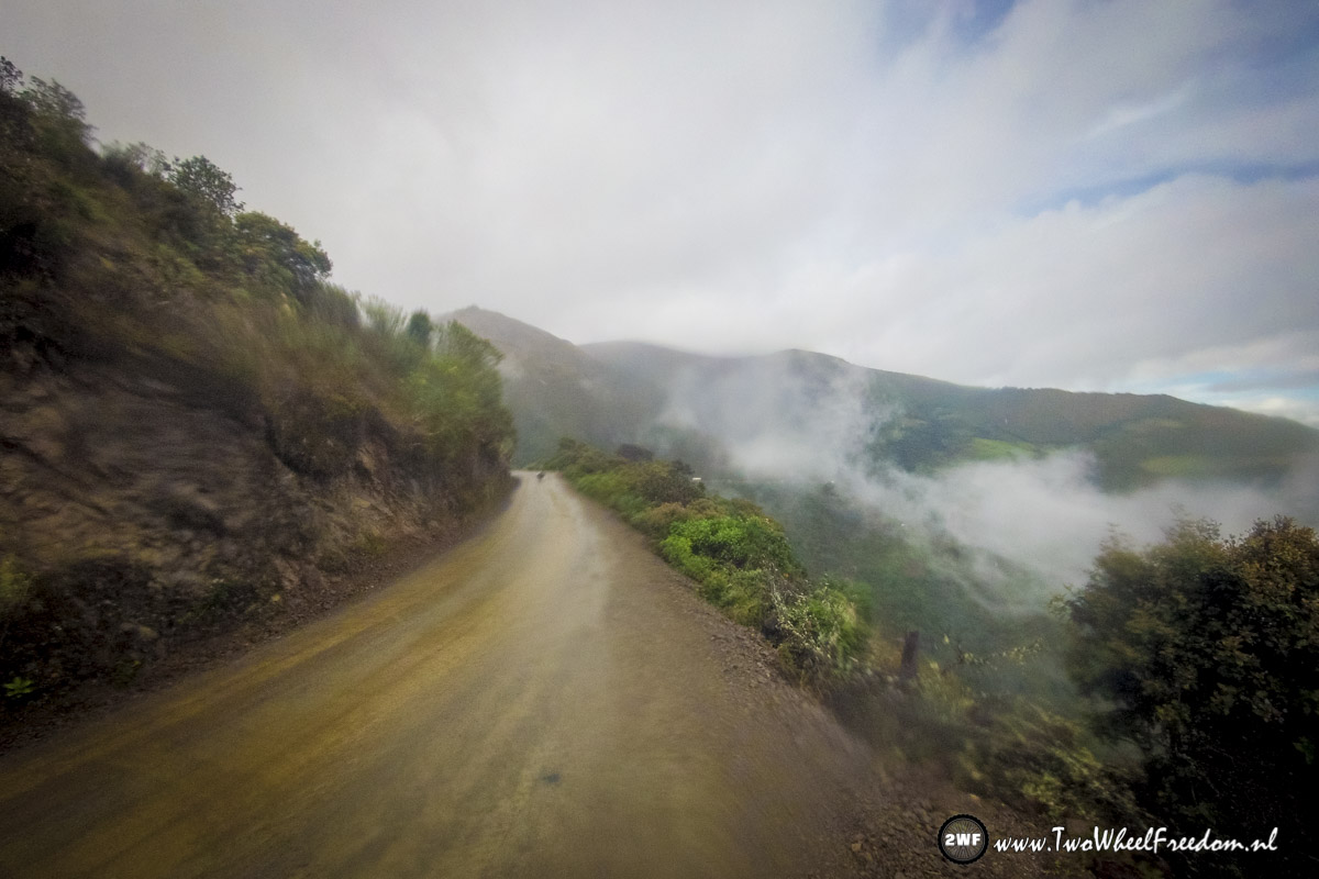
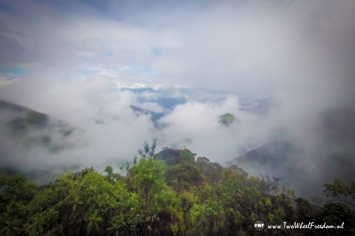
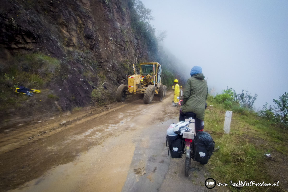
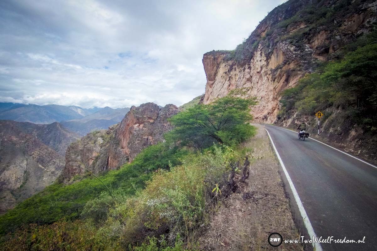
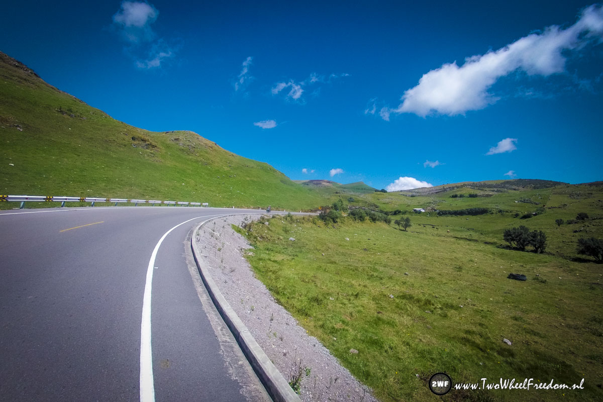
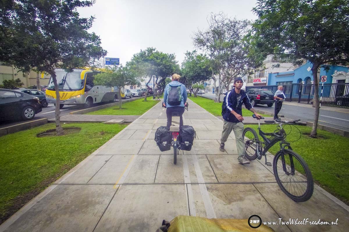
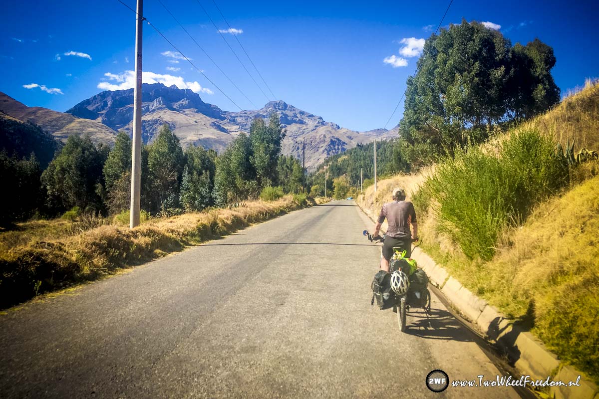
Nice roads to cycle on? Nope!
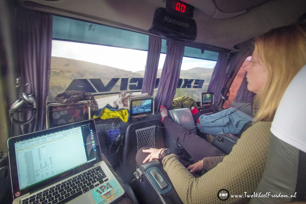
After a few days in Lima back in the bus to Cusco. The busses are super luxe with TV’s and chairs that can go 100% horizontal so you can sleep like in a bed.
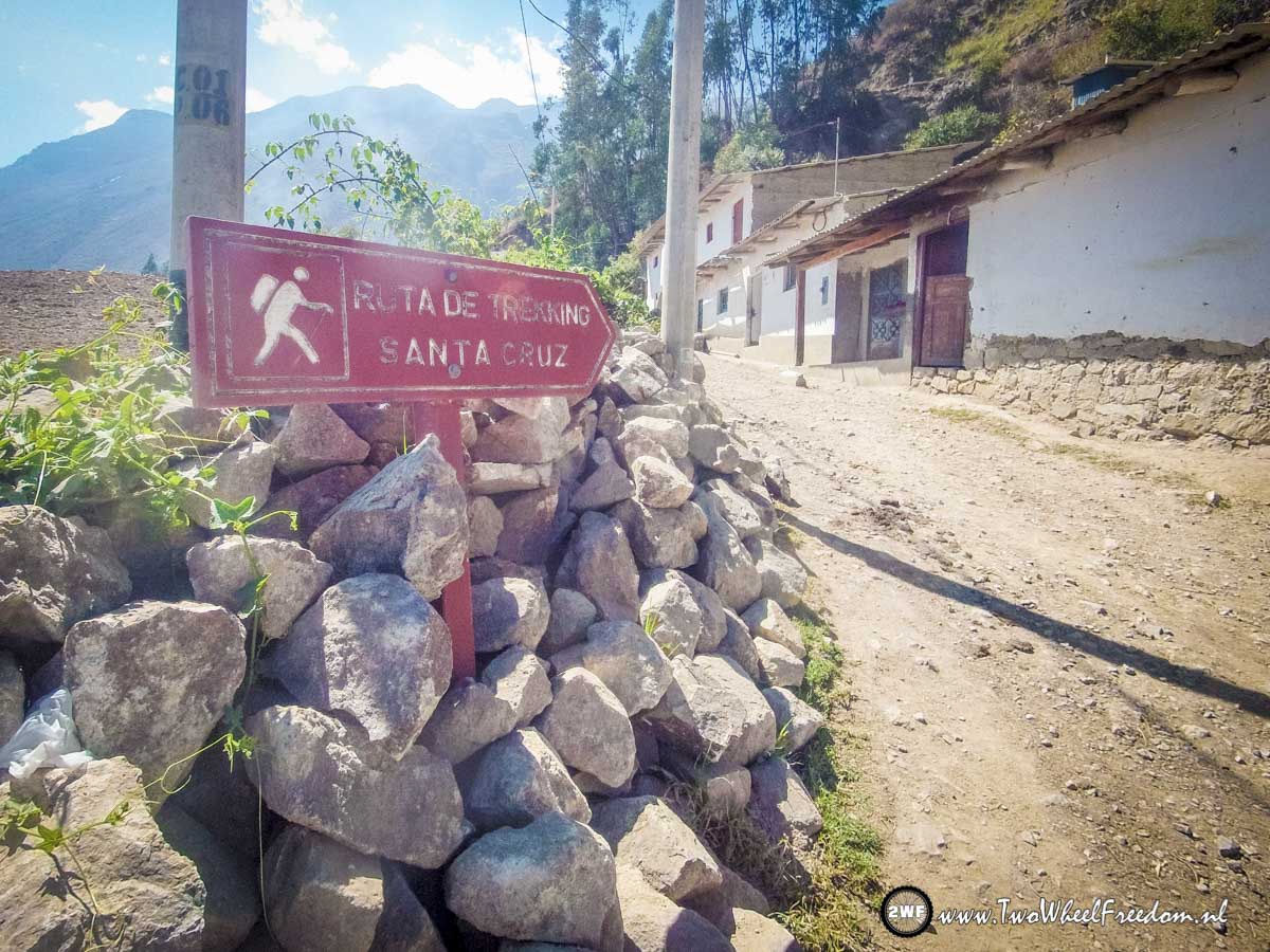
Cusco & Machu Picchu

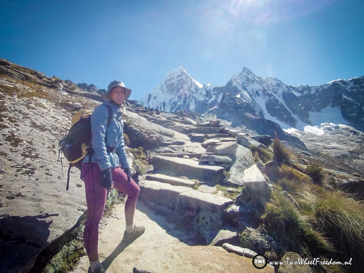
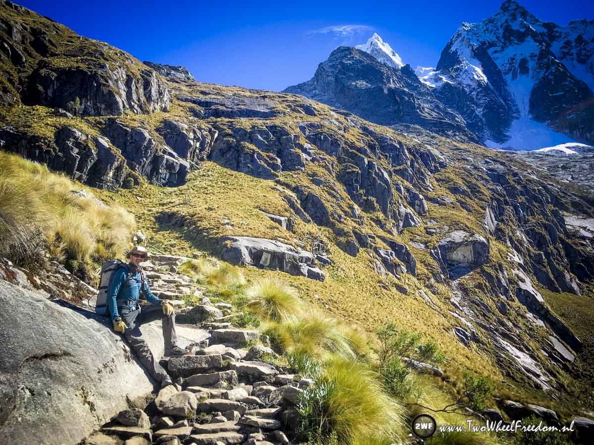
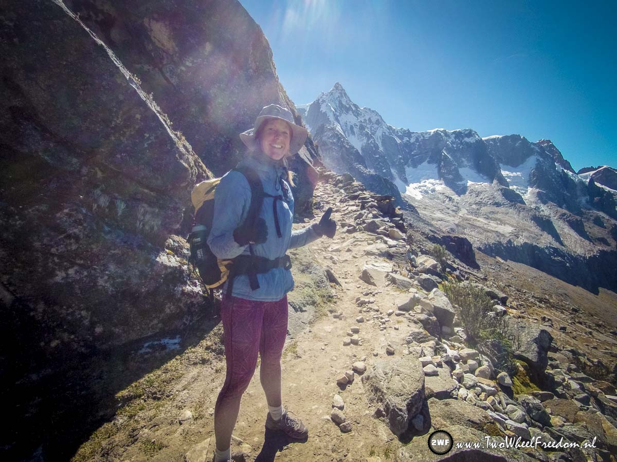
On our way to Machu Picchu.
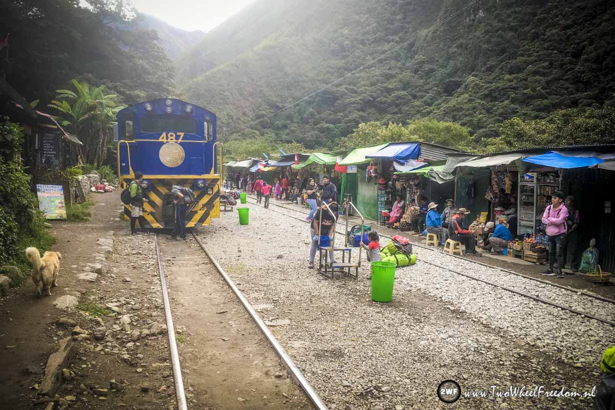
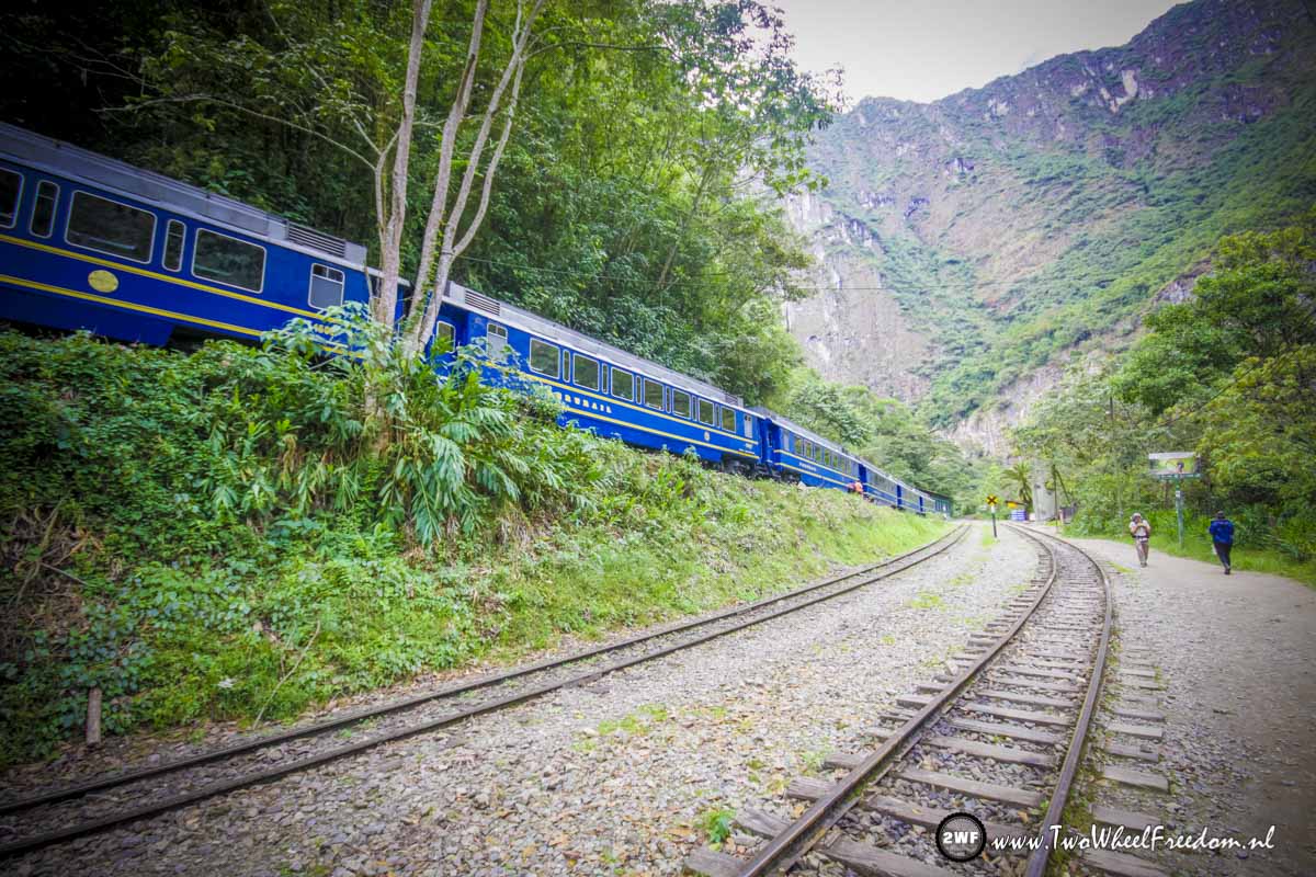
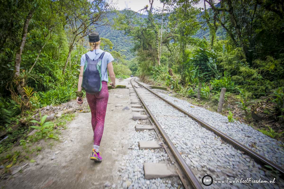
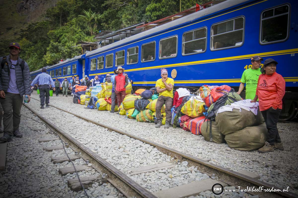
First with a small bus to Hidro Electrica from where a 12km railroad winds to the new town of Machu Picchu.
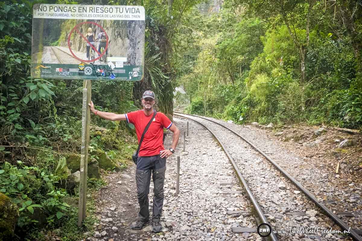
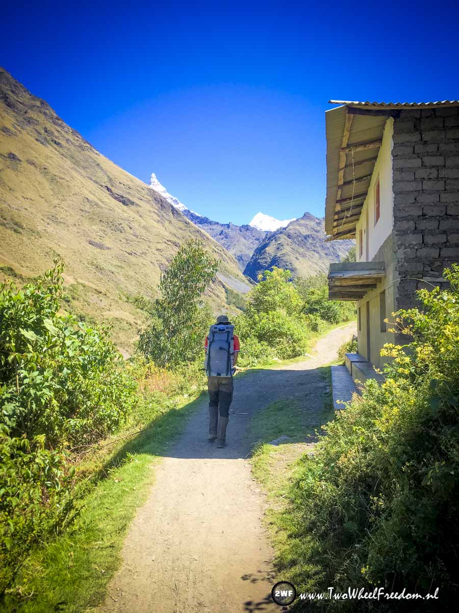
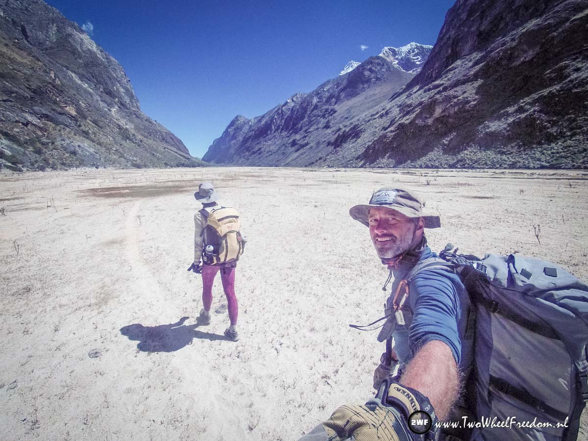
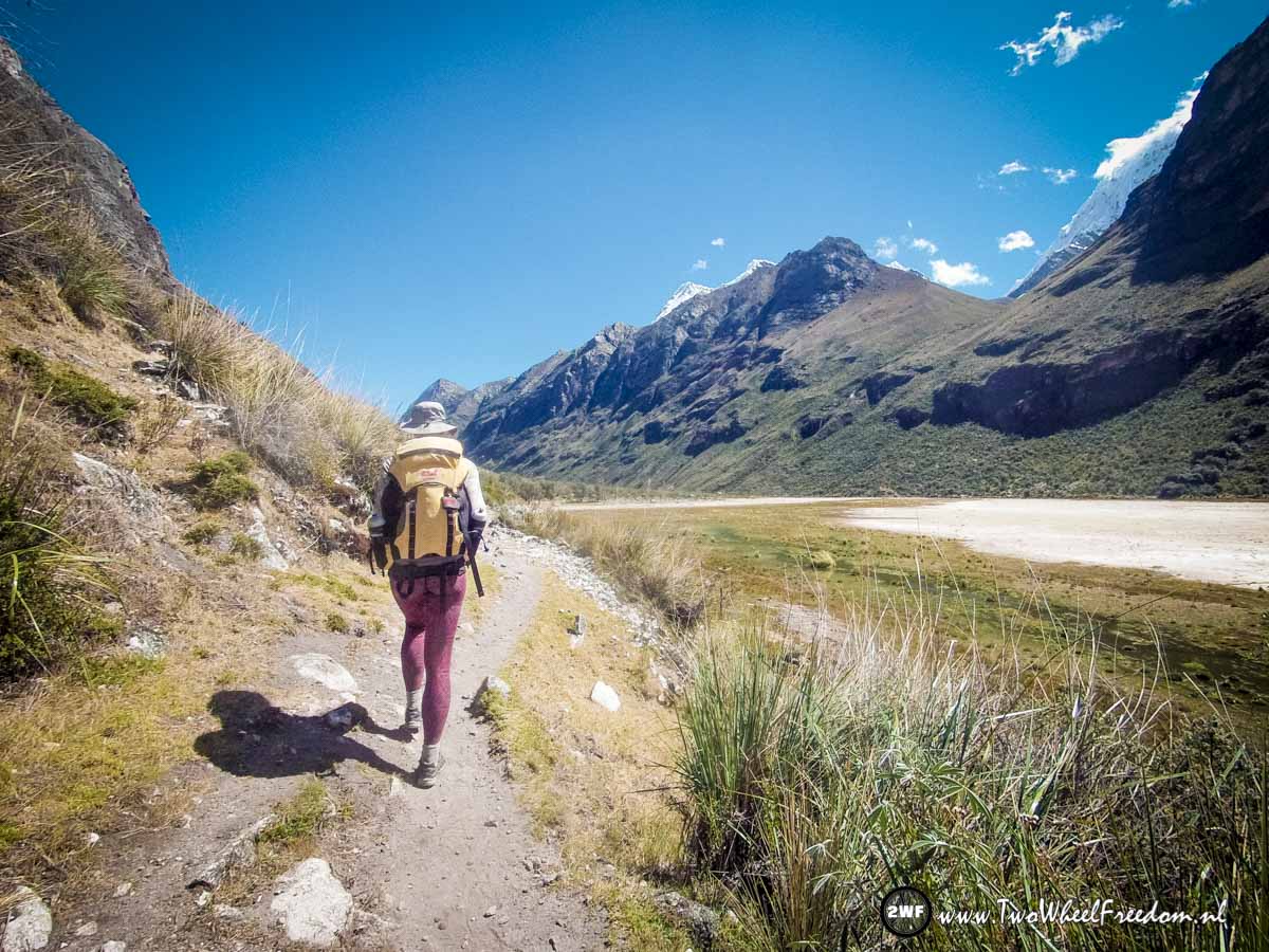
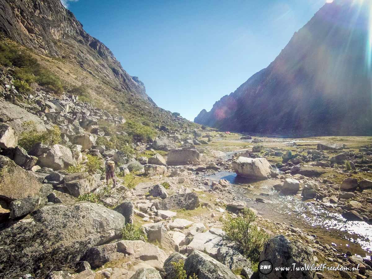
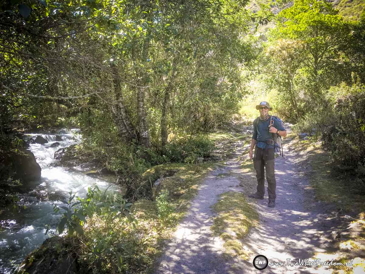
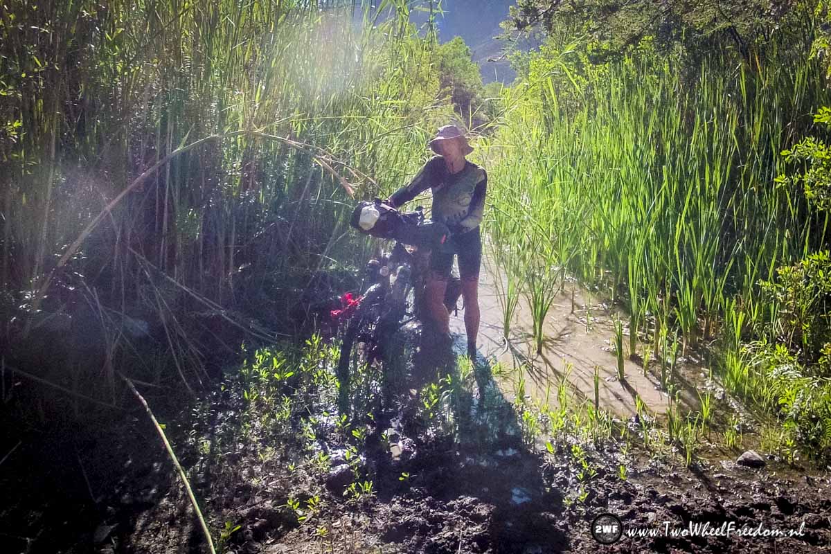
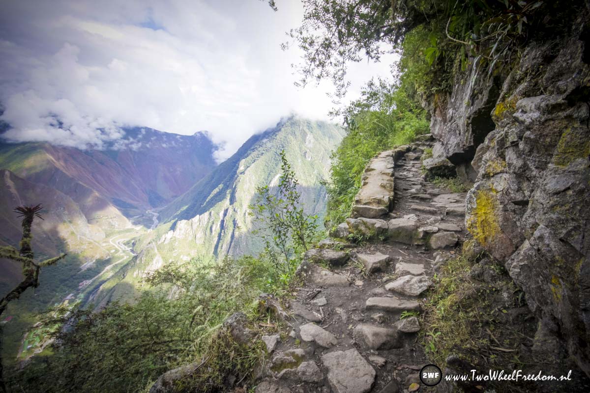
We hike along the railroad… Cycling is not allowed. (and our bikes are still in Cusco)
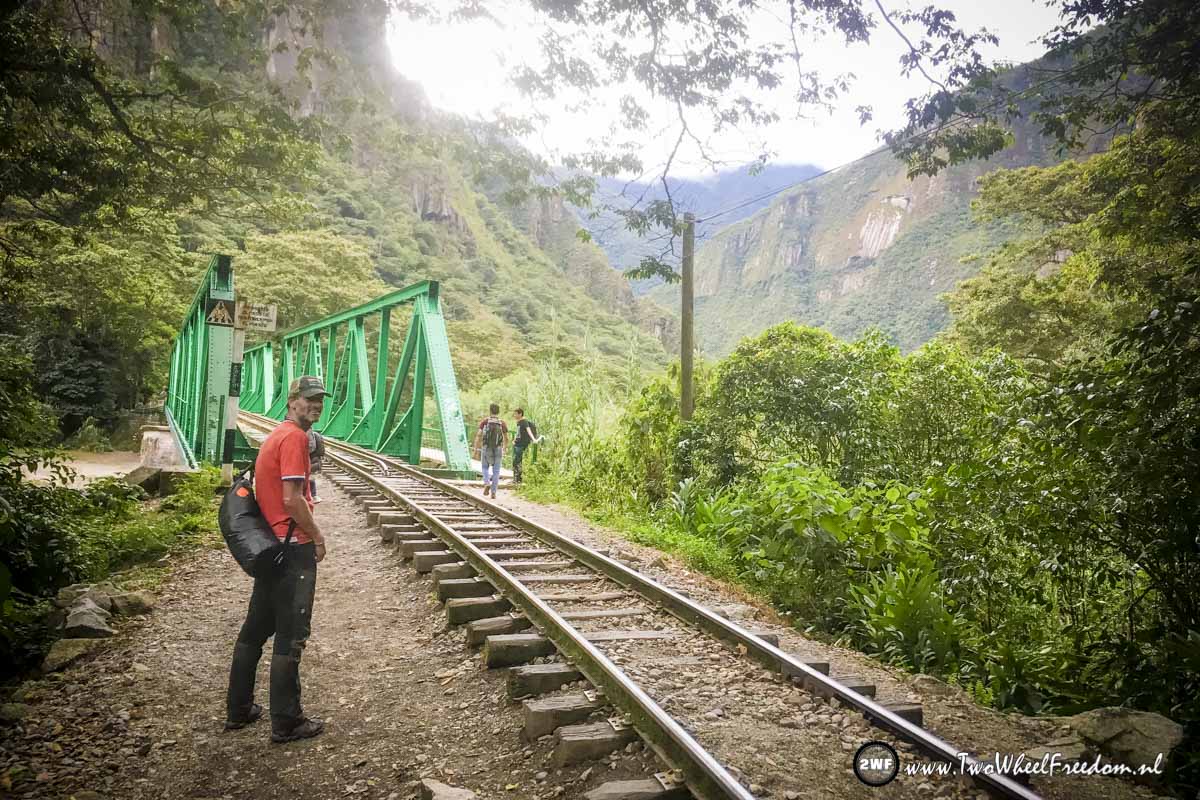
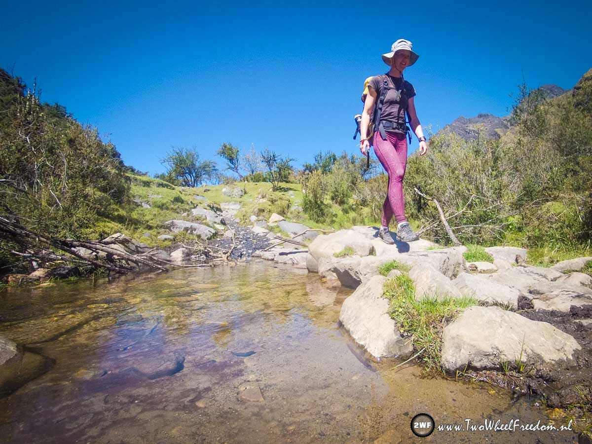
We are not the only hikers.


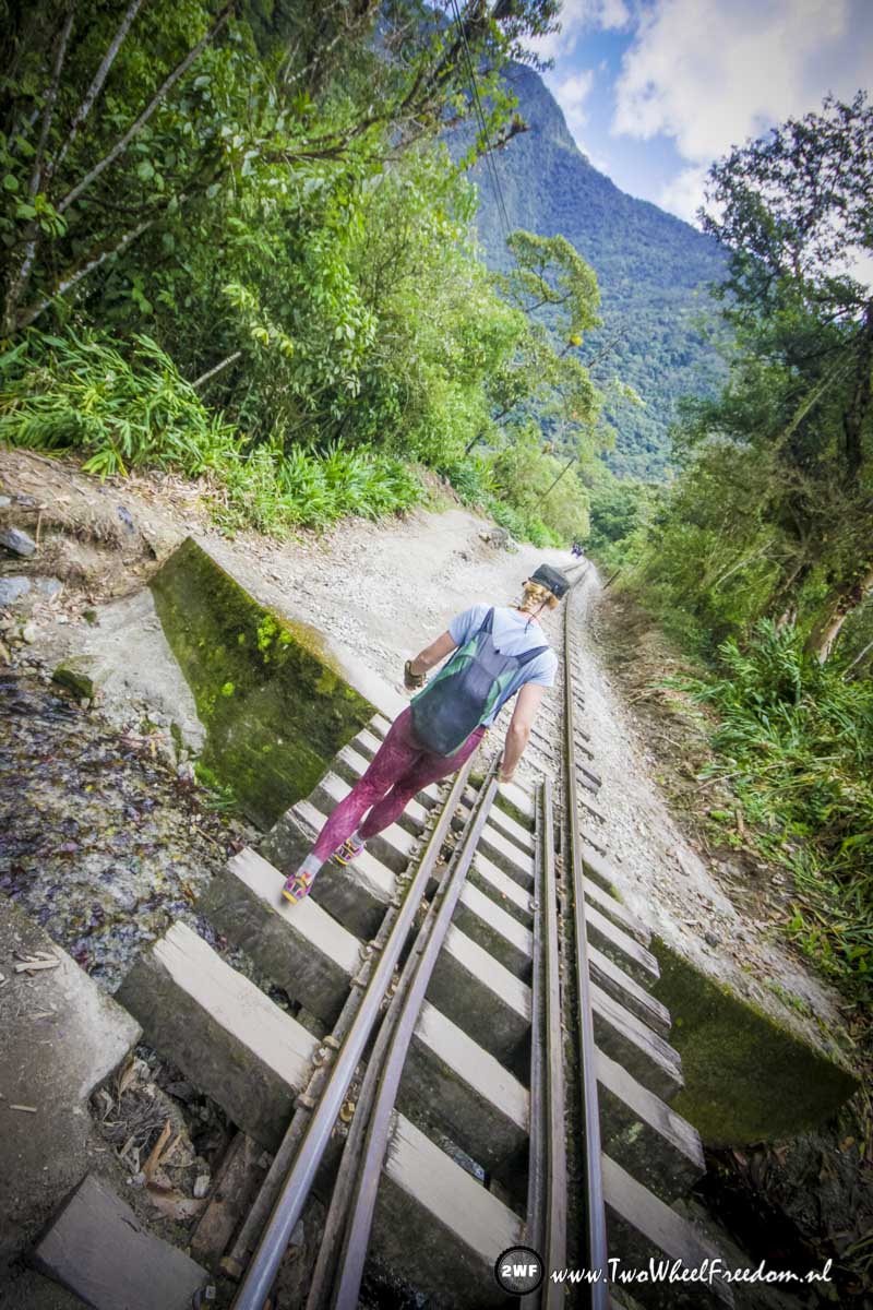
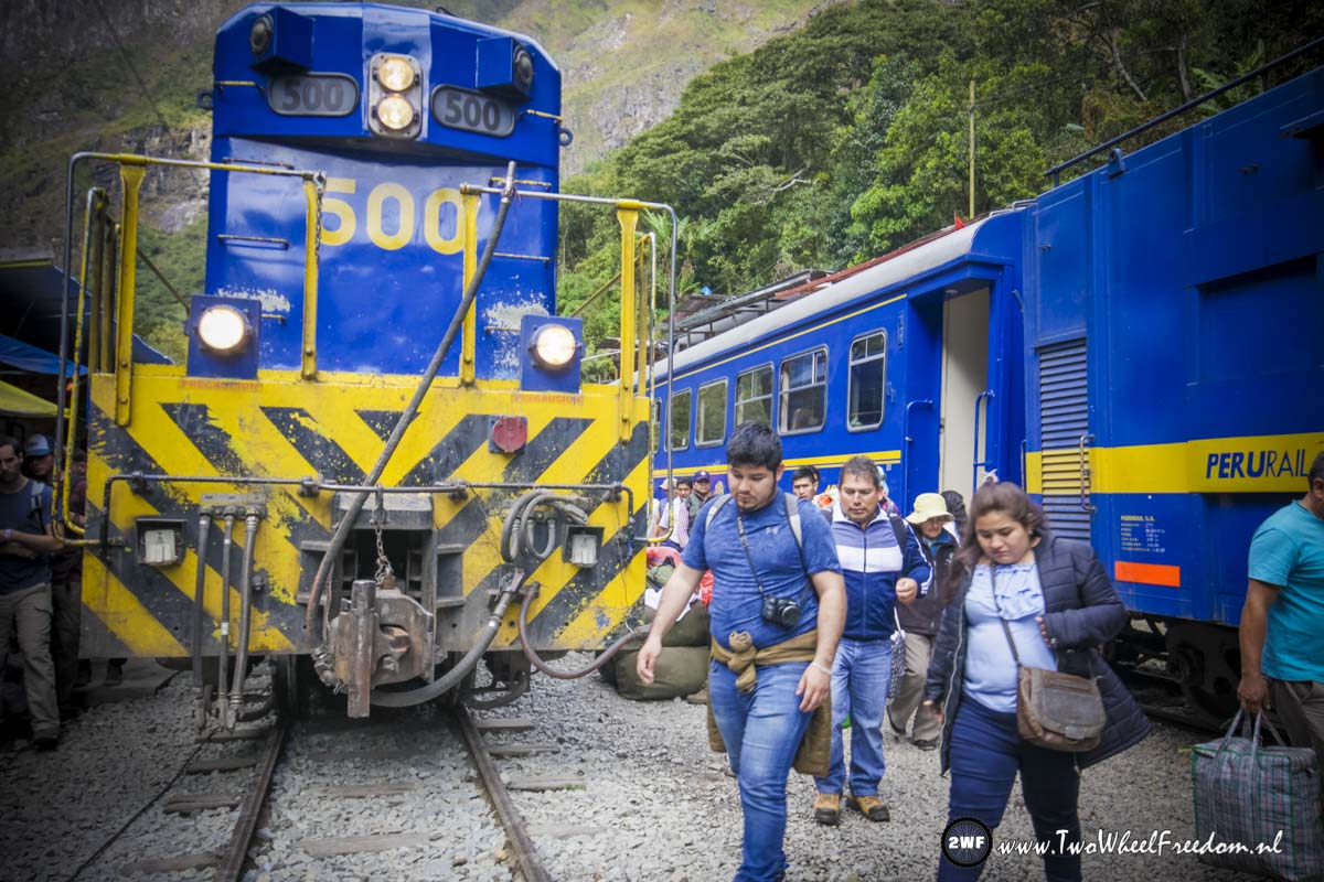
Once in a while a slow diesel train shows up.
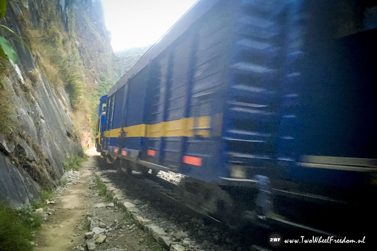
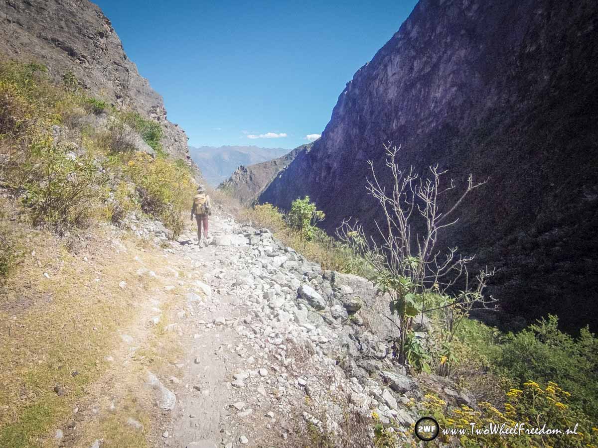
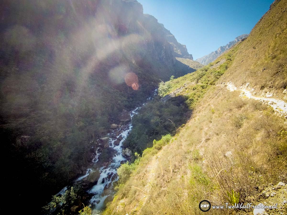
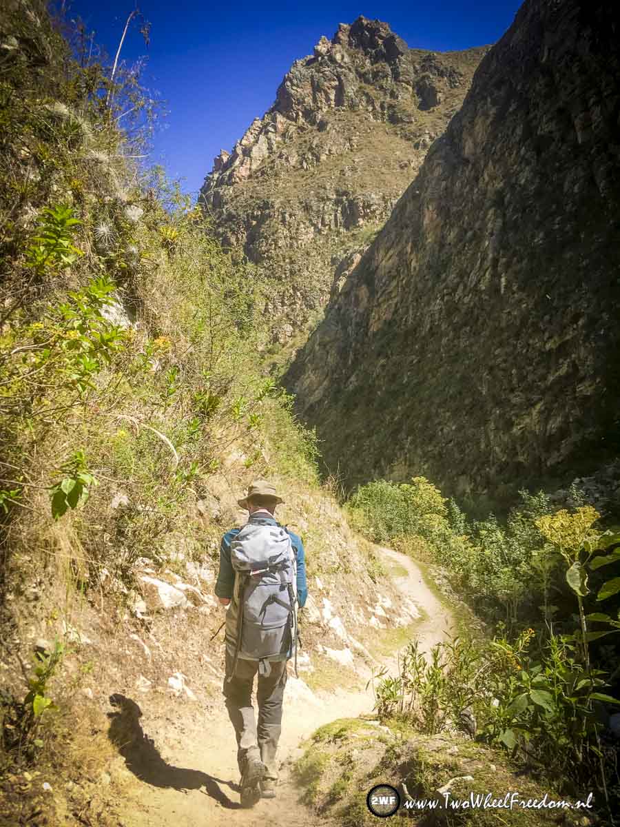
The hike trail is quite narrow at some parts.

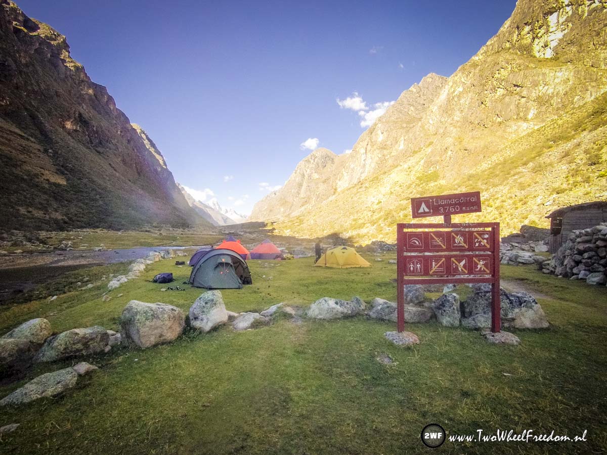
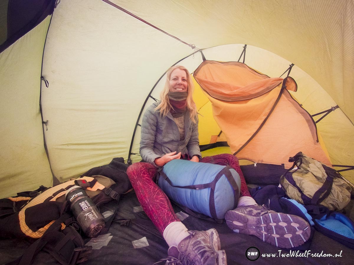
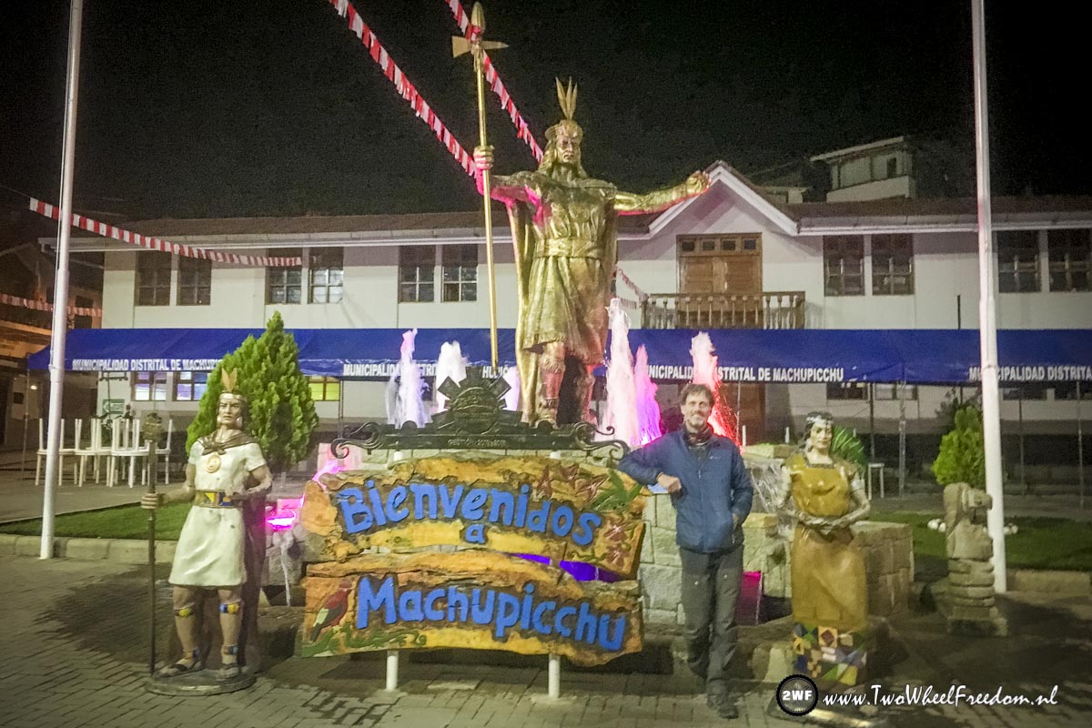
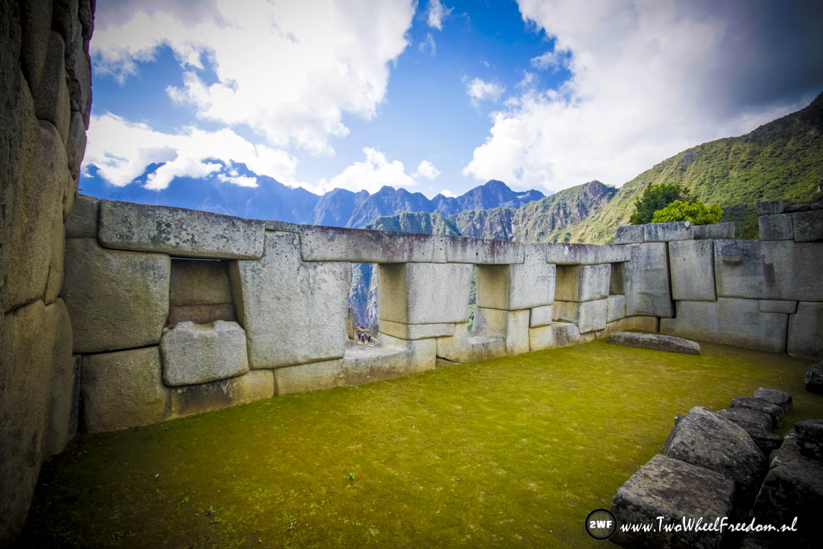
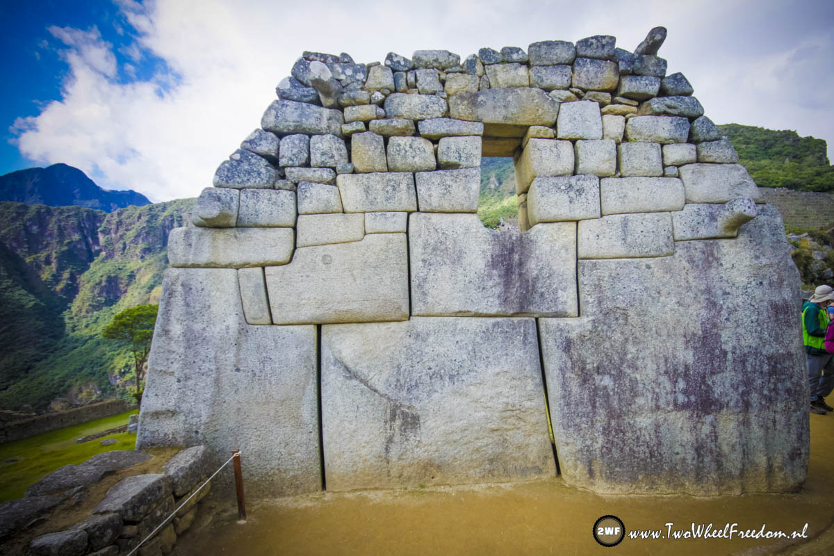
In the new town of Machu Picchu. Here we spend the night in a hotel to go to the old ruins in the early morning.
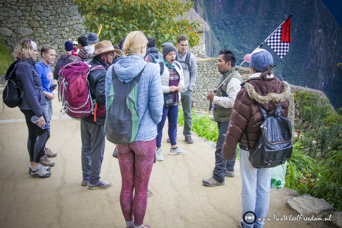
A bit after 7 in the morning. Our guide is ready to go. Some of the group are still sleepy 😀
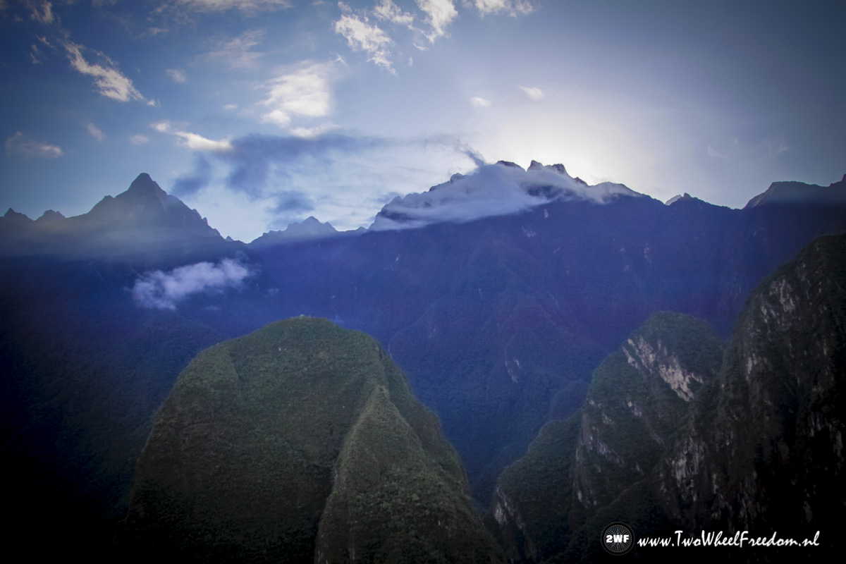
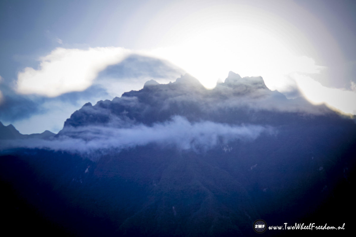
The sun is still behind the mountains.
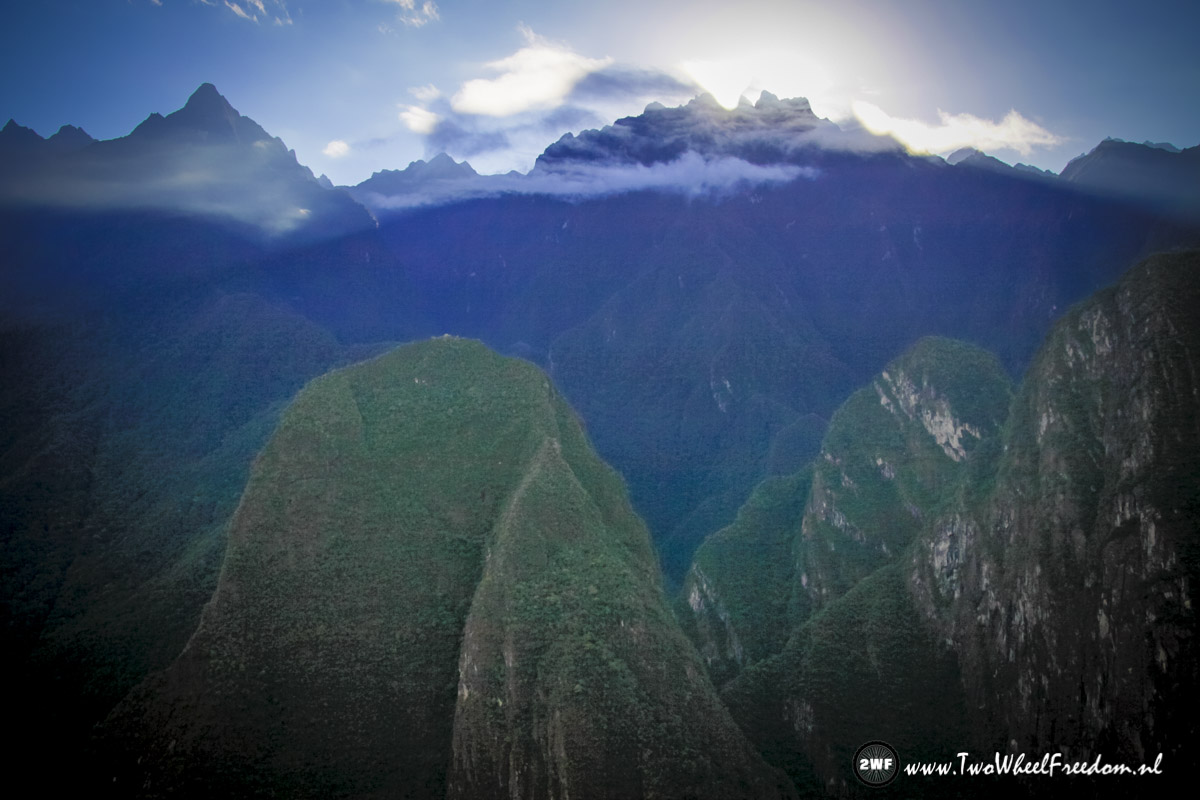
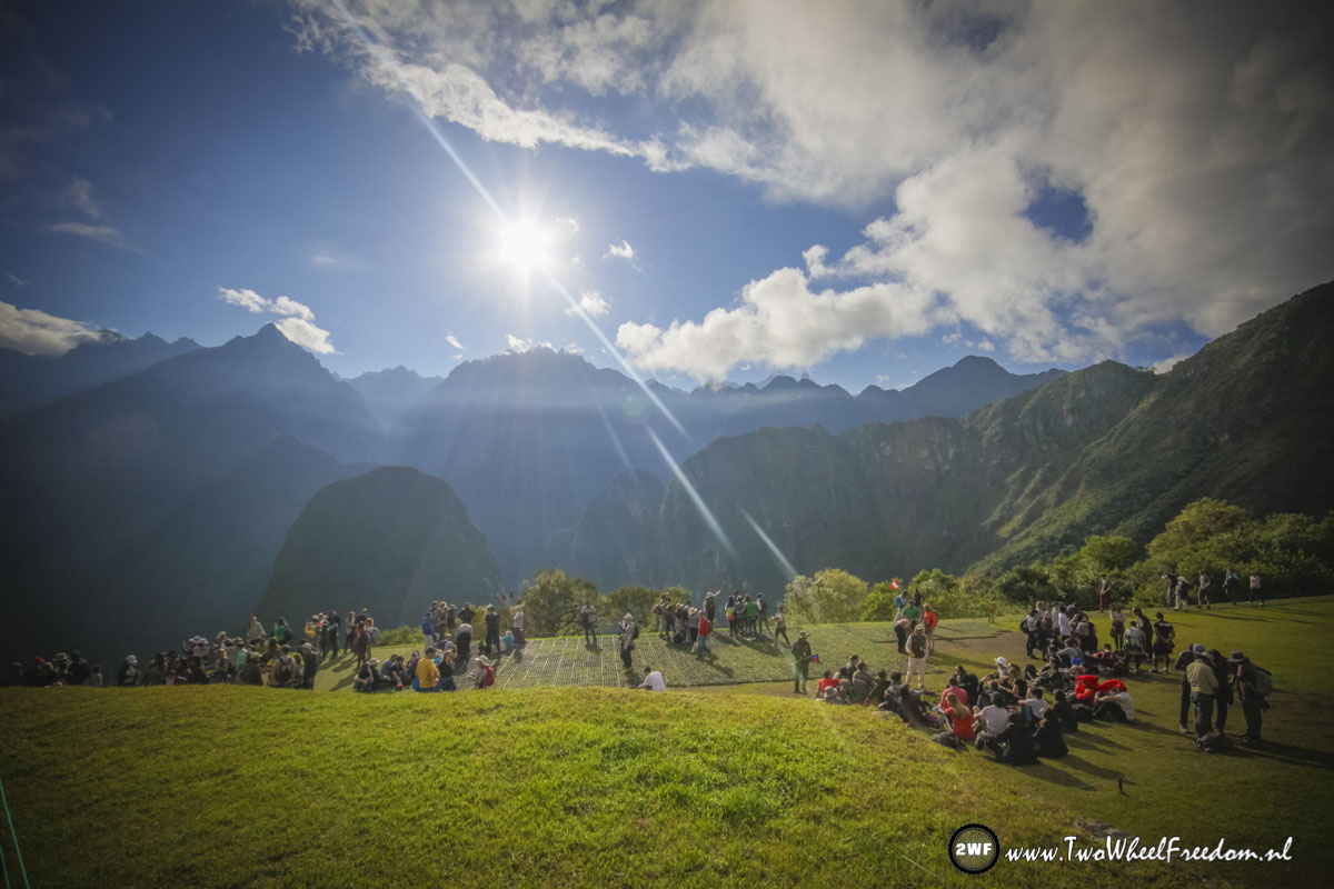
Sunrise is nearly there.
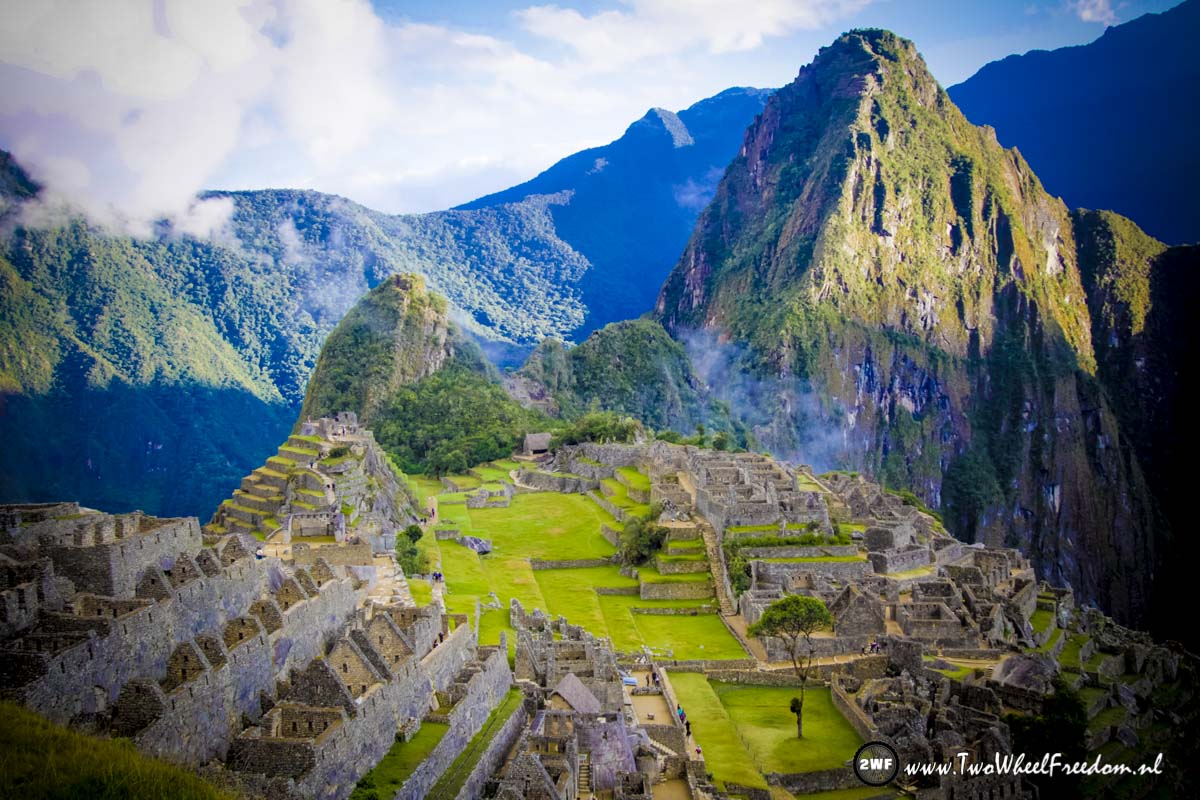
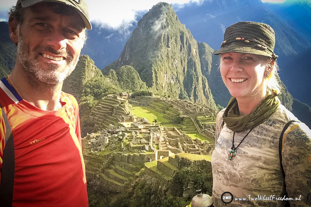
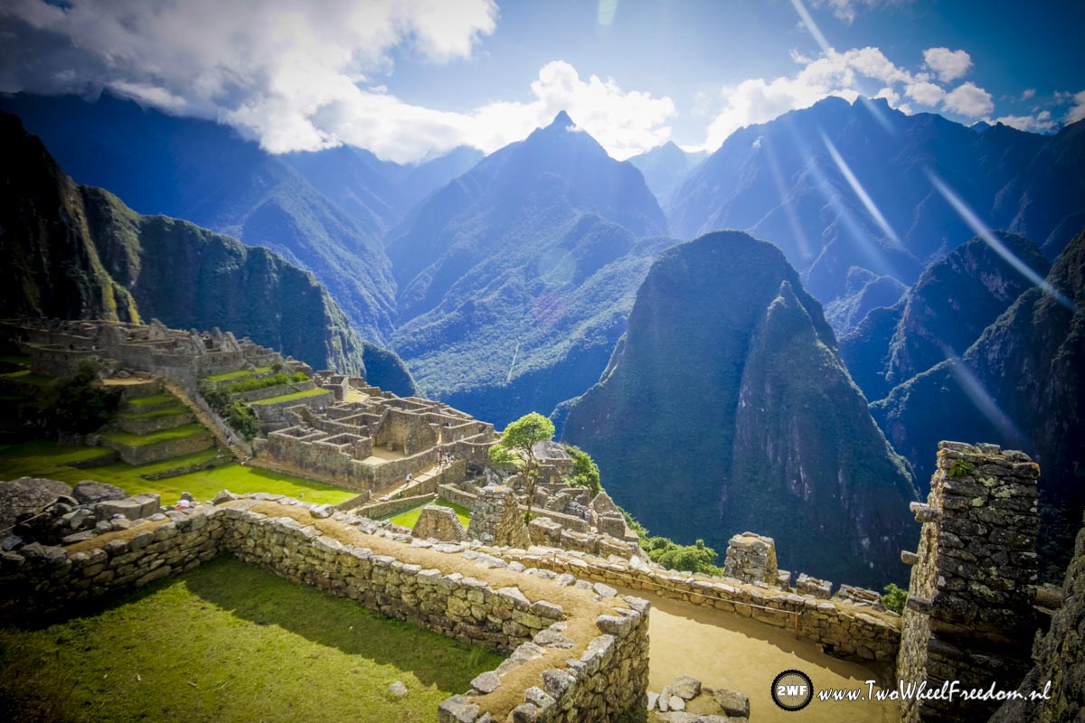
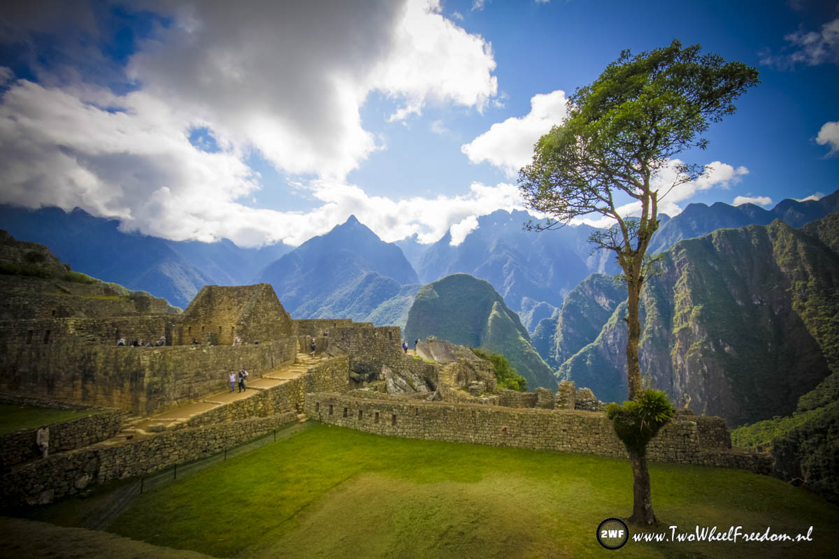
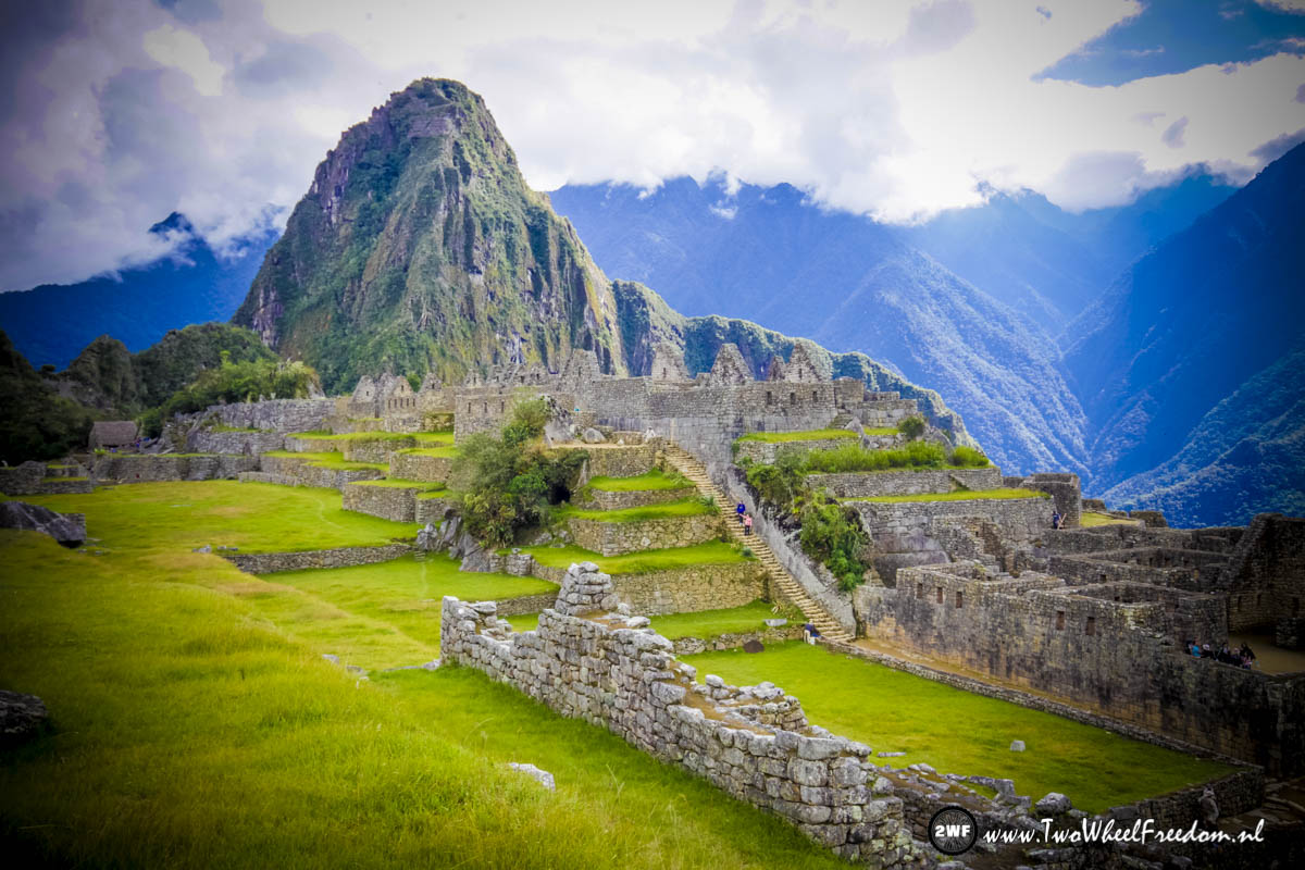
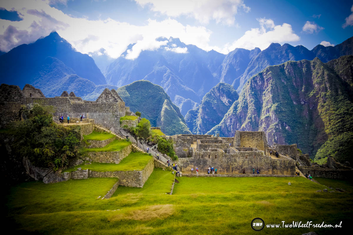
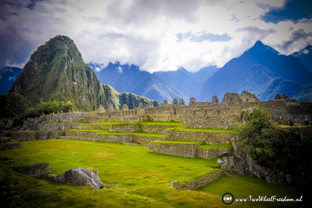
The first sunbeams over Machu Picchu.
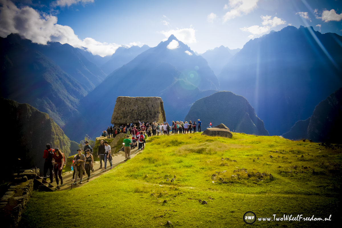
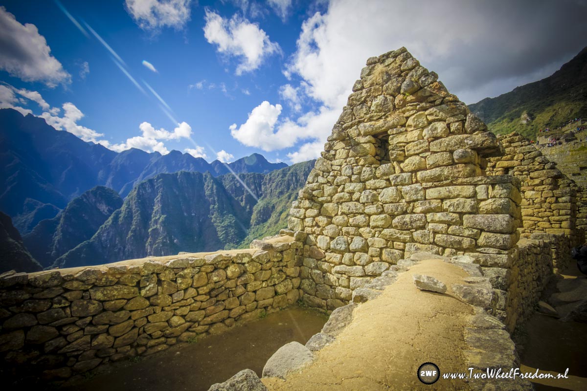
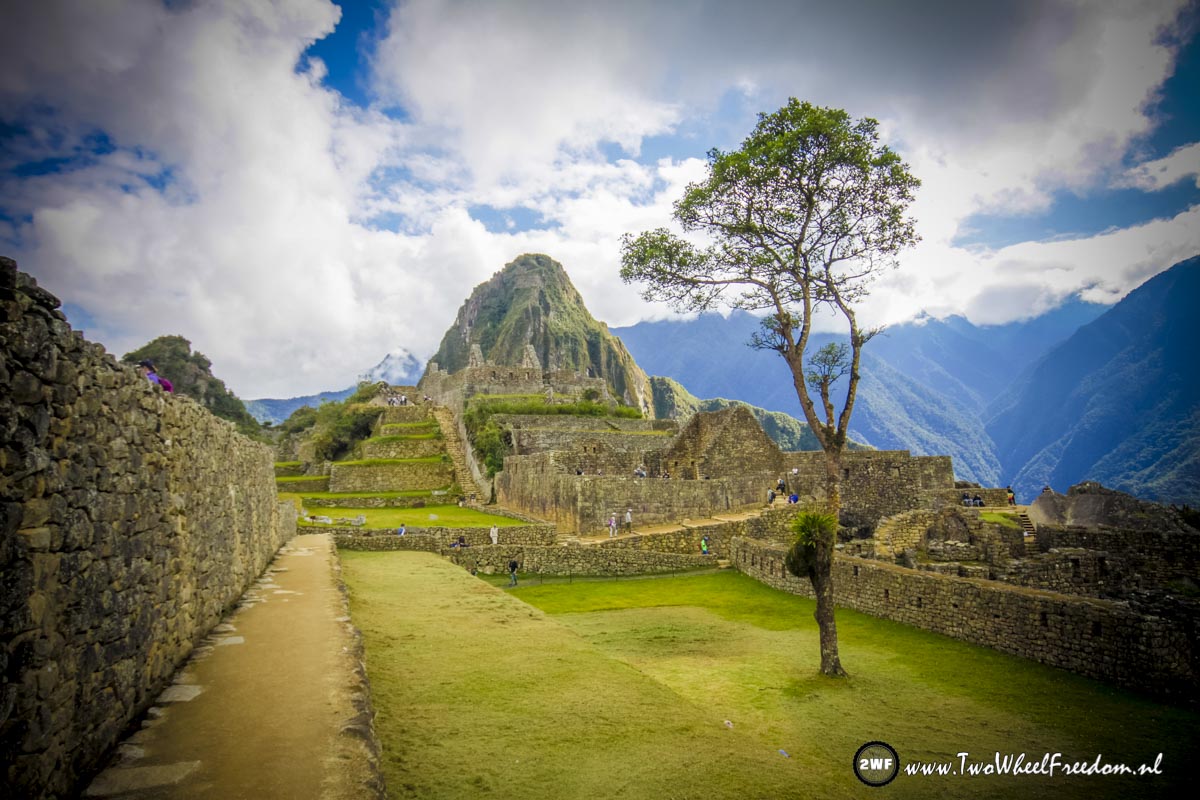
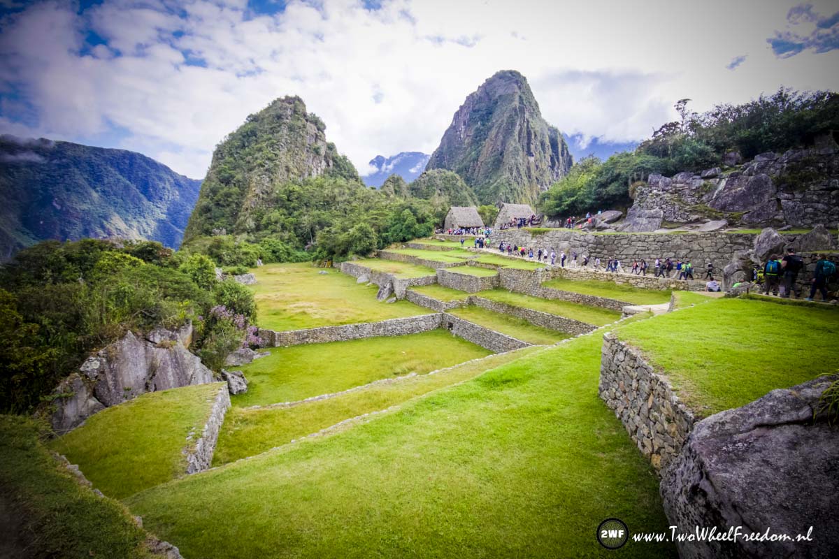
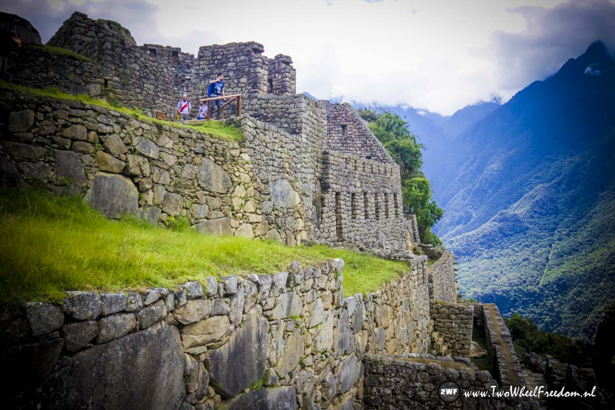
This is the place to take your pictures.
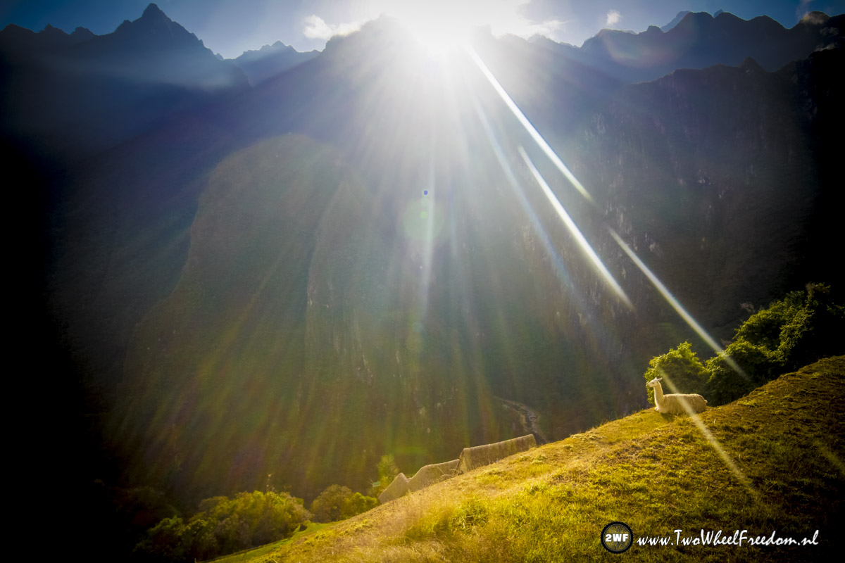
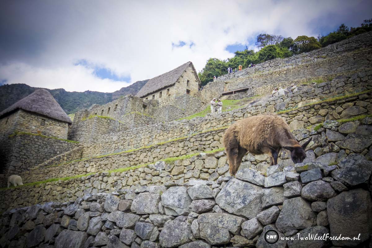
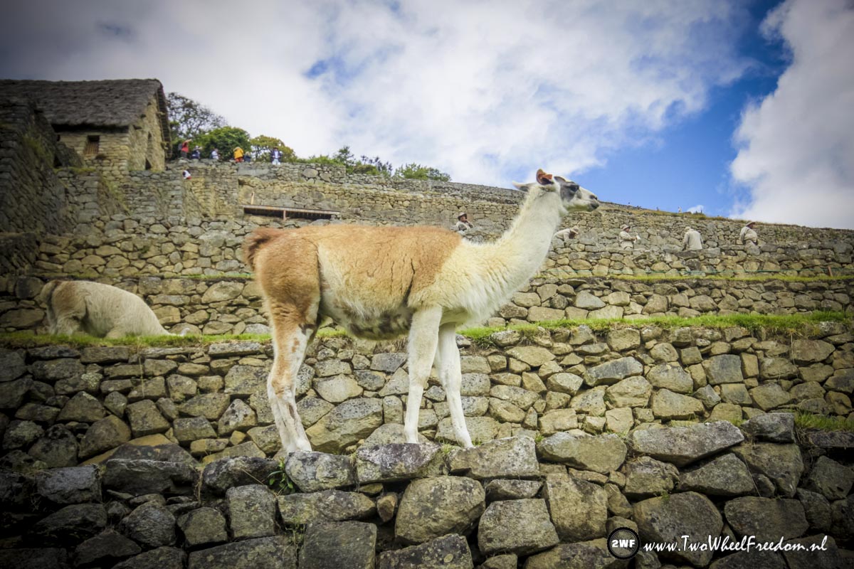
Mr. Lama does also enjoy the early sun.
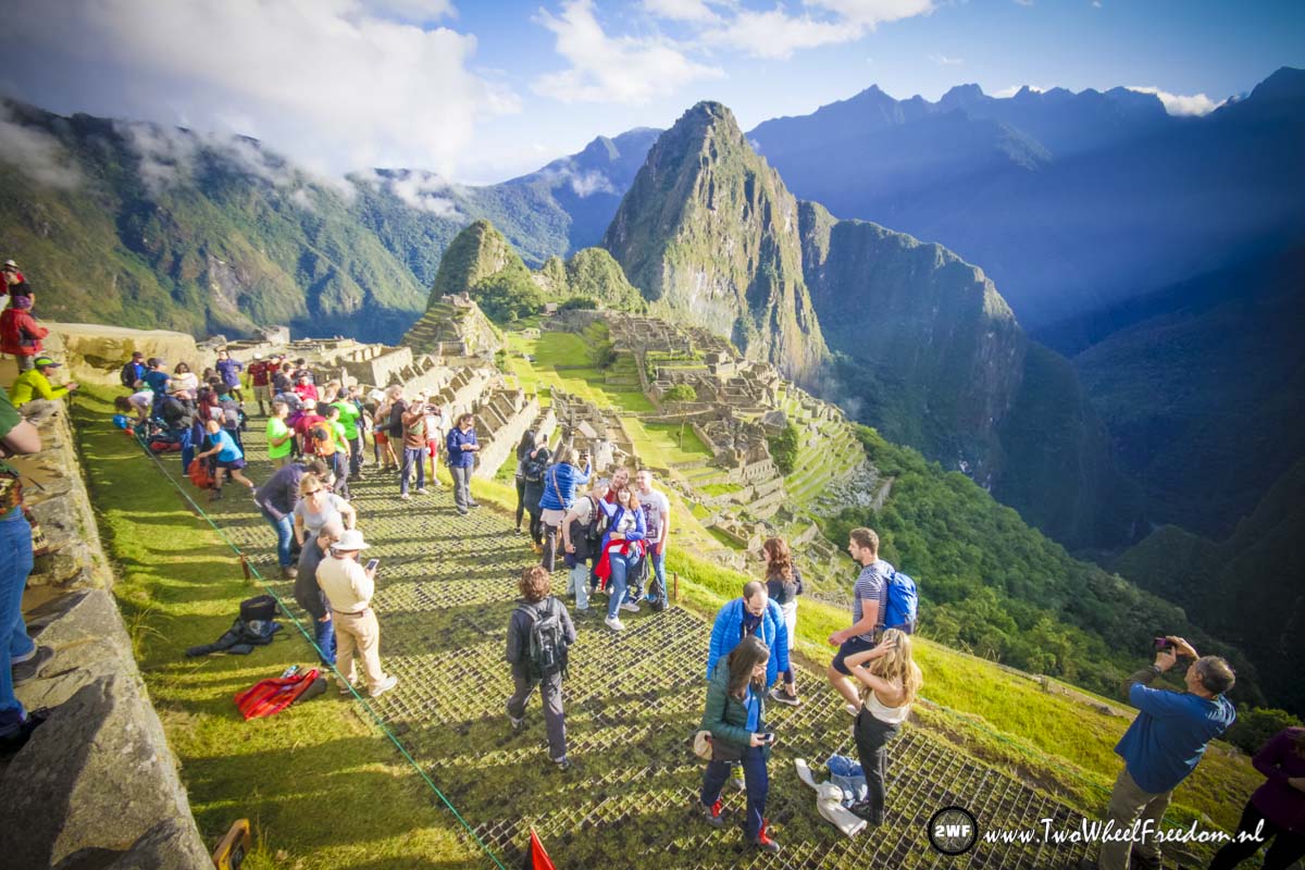
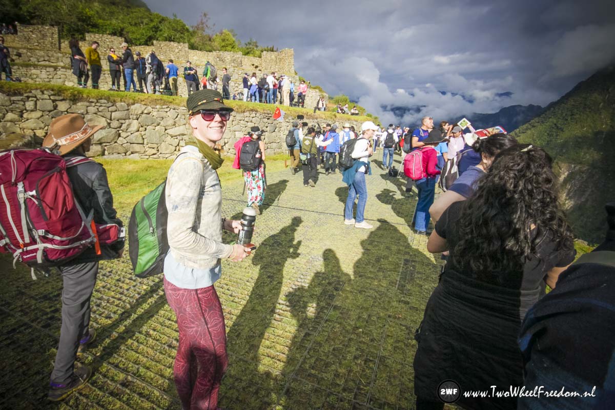
Many tourists already. If you buy an entrance ticket for Machu Picchu they ask you at what time you wanna go in. This starts from 7am and you are aloud to visit Machu Picchu for a maximum of 4 hours. Every day circa 4000 people visit Machu Picchu!
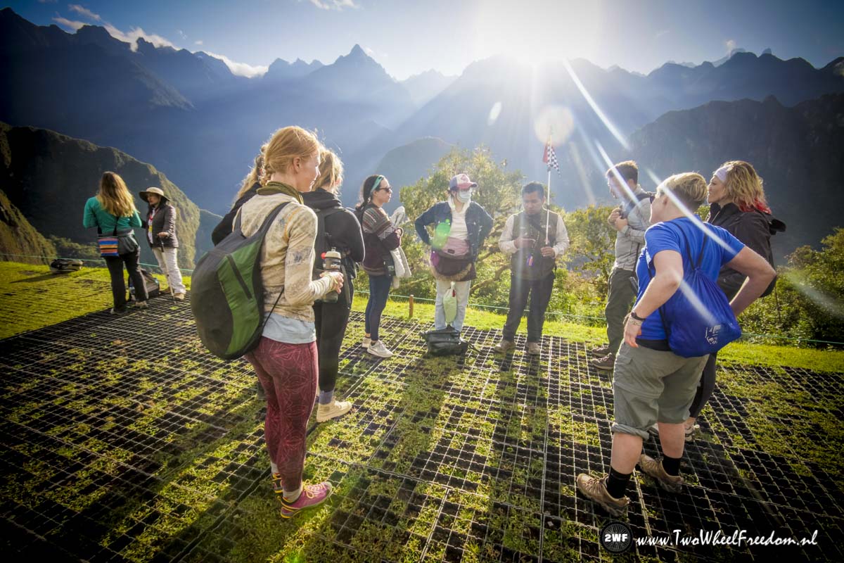
Our guide is telling his story.


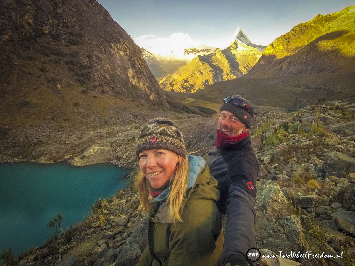
Selfie Time
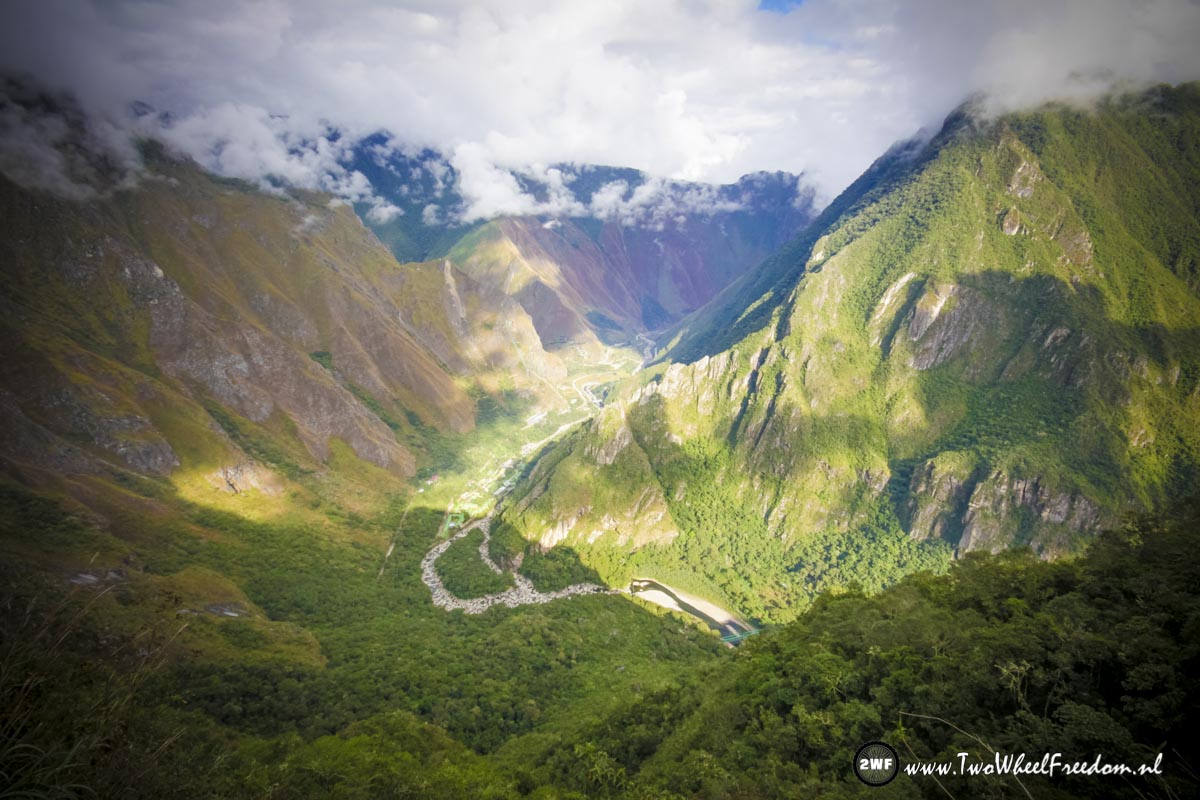
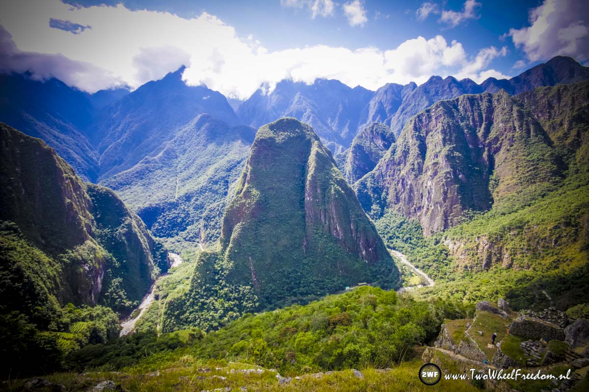
In the far distance Hidro Electrica from where we came hiking.
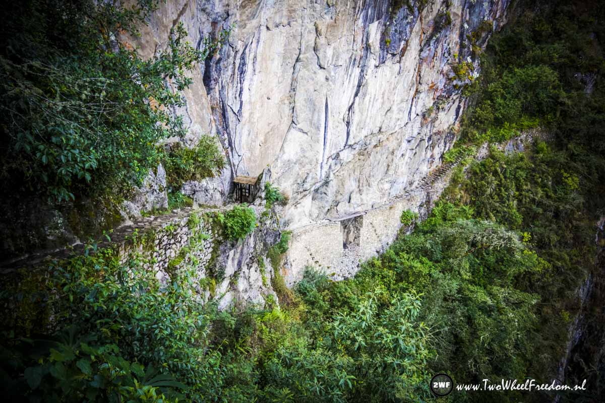
An old Inca bridge. The scary bridge is closed for pubic.

No idea why they closed this old Inca bridge 😉
The path to the Inca Bridge.
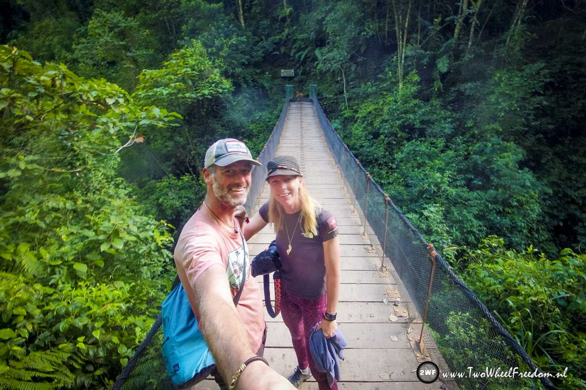
Okay, one more selfie.
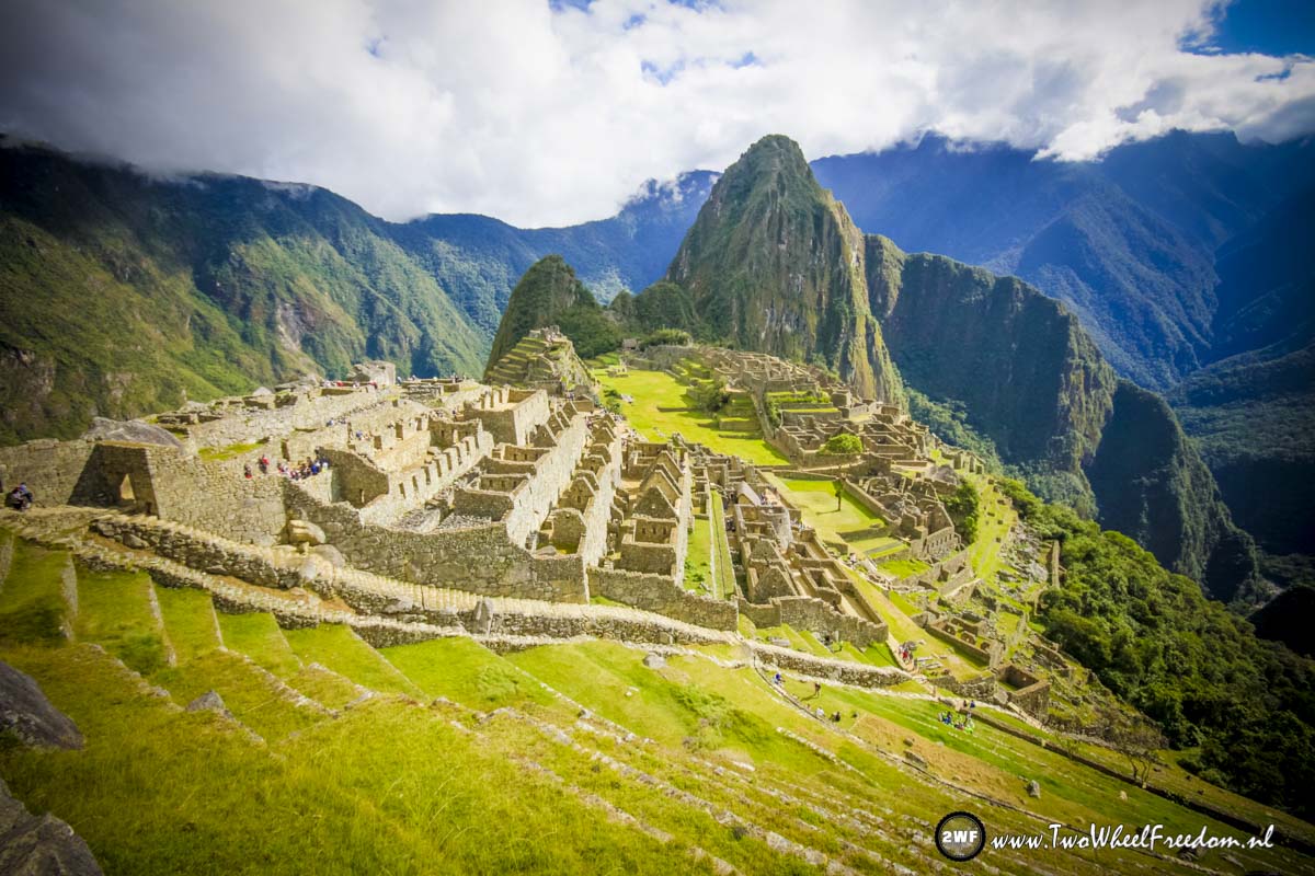

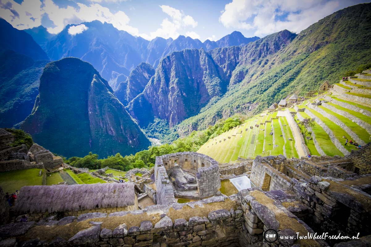
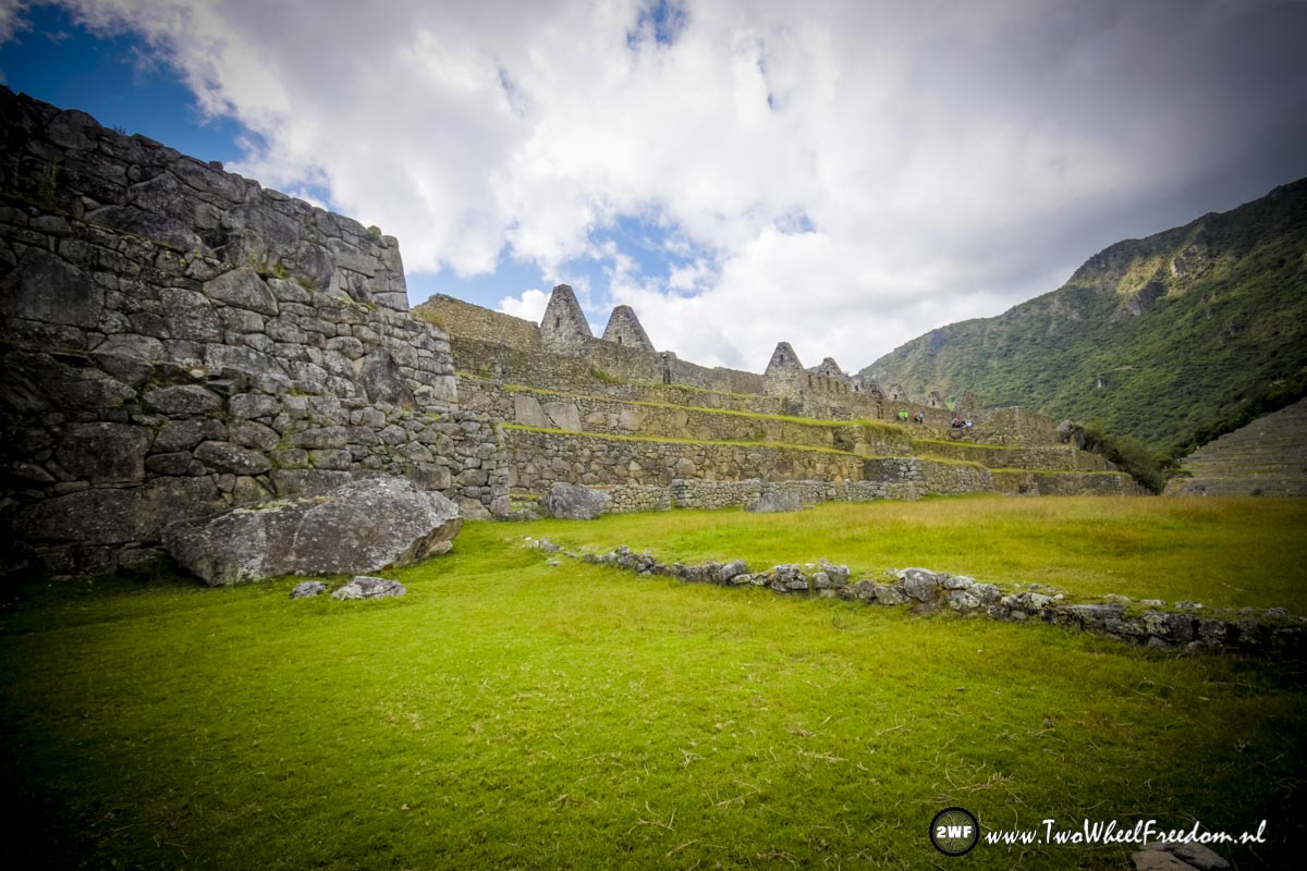
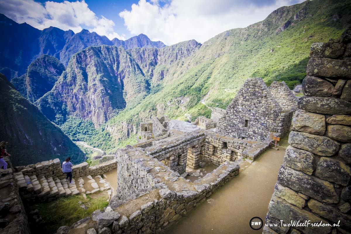
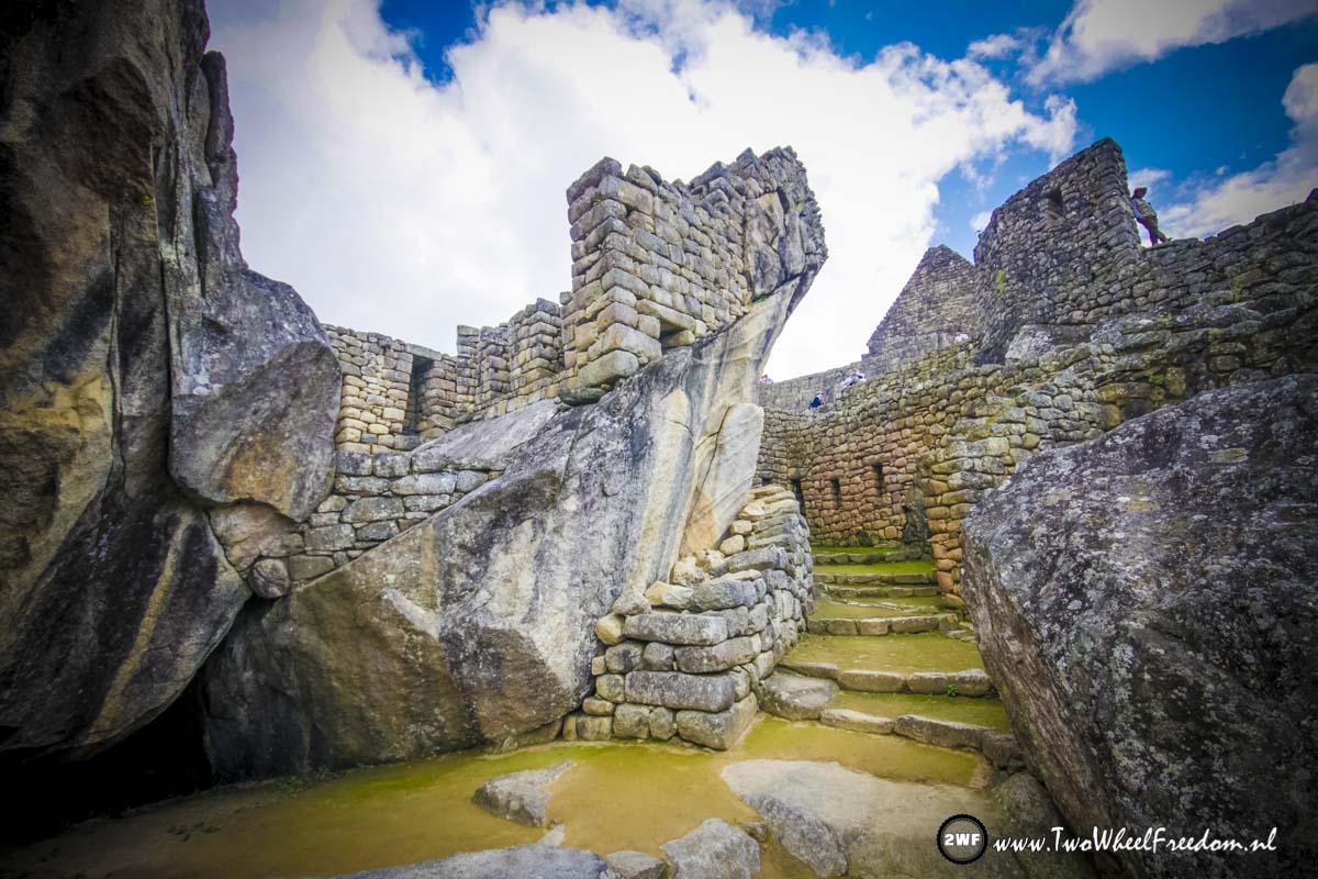
Going down into Machu Picchu.


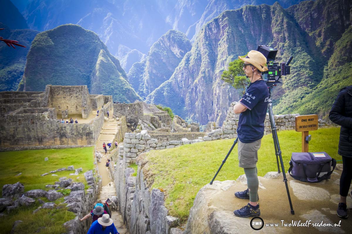
Look at his shirt, Studio MAD is filming here as well 😀
Steep down…

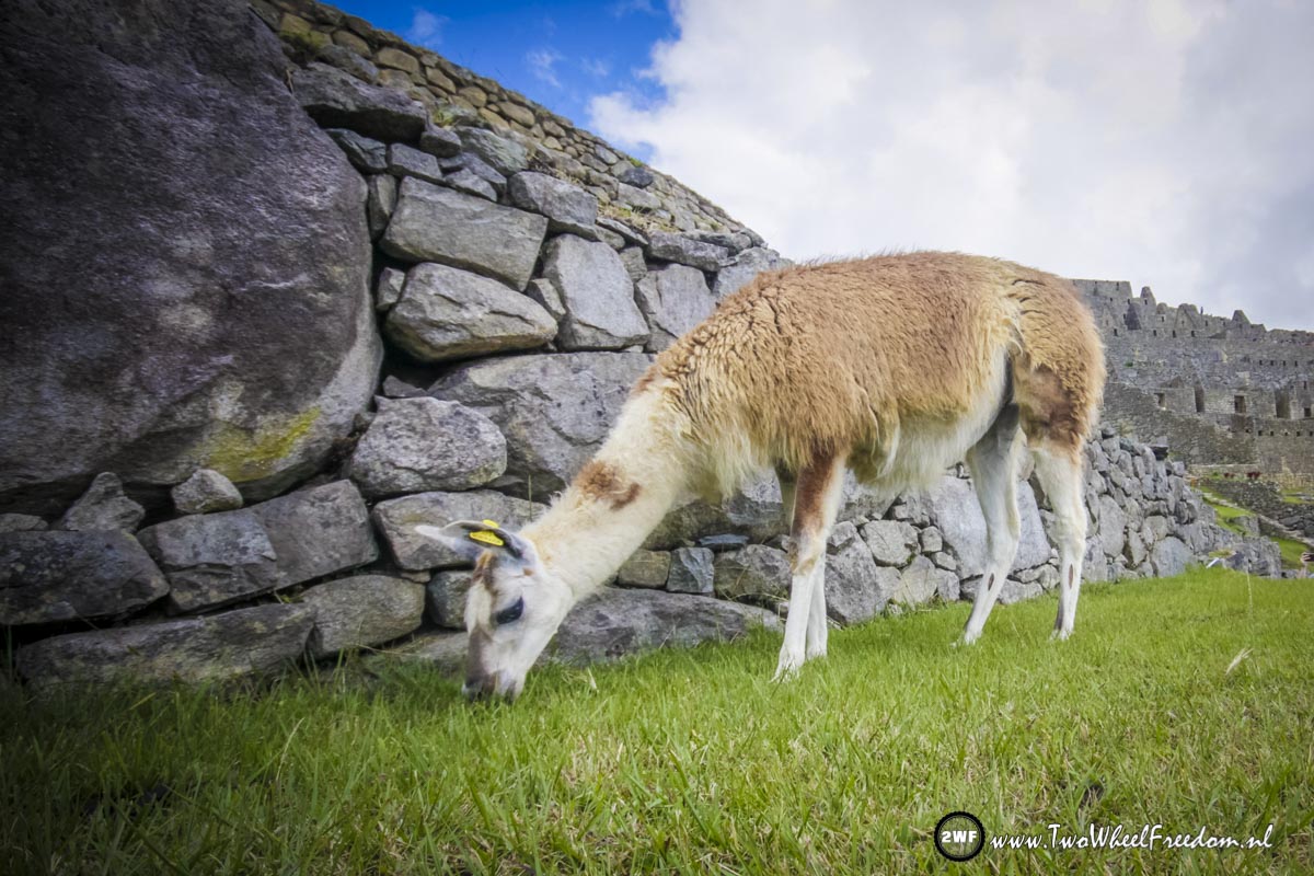
Lama’s all over the place.
After our 4 hour visit (which was long enough) we hike back to Hidro Electrica.

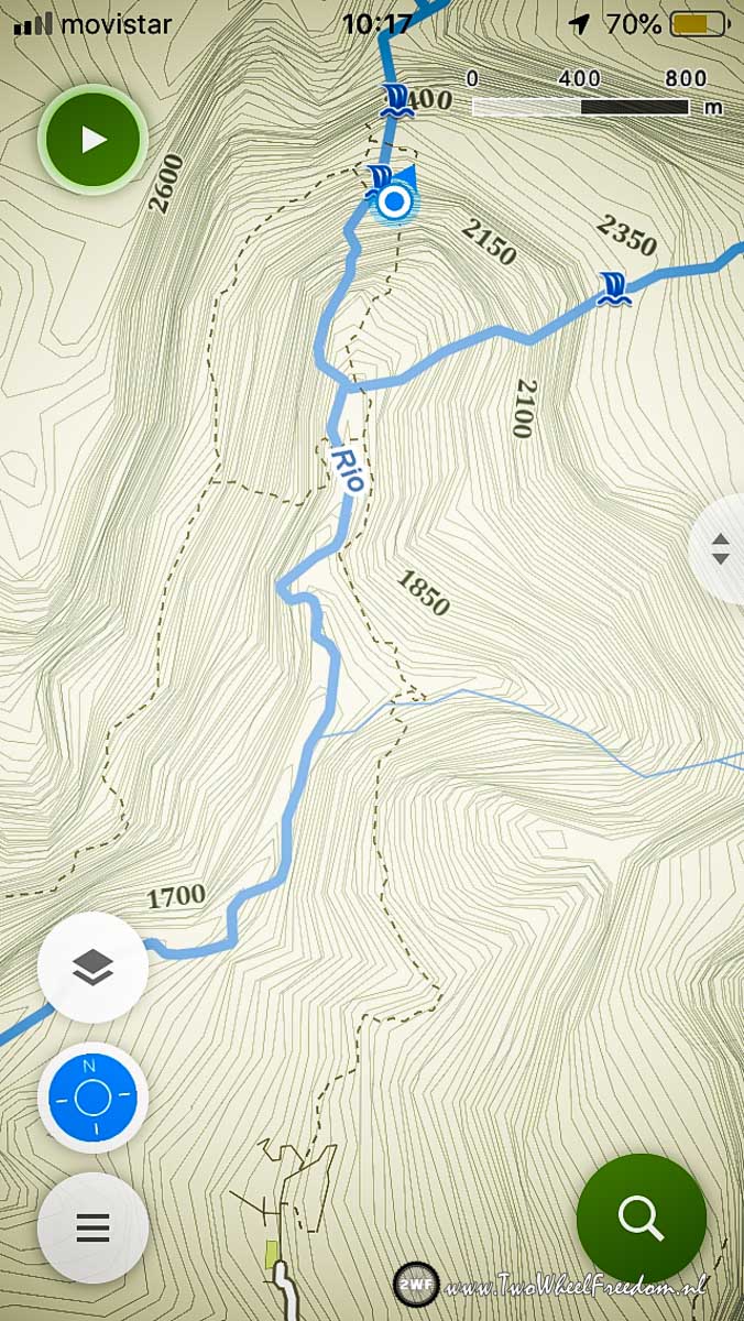
The blue line is our track. The black zigzag line is the road between the old and the new Machu Picchu.
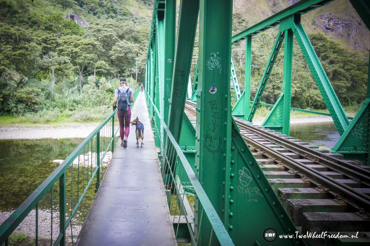
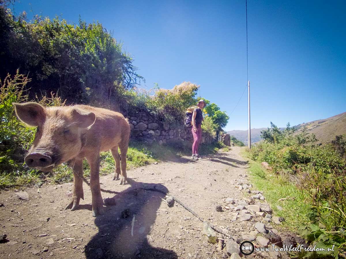
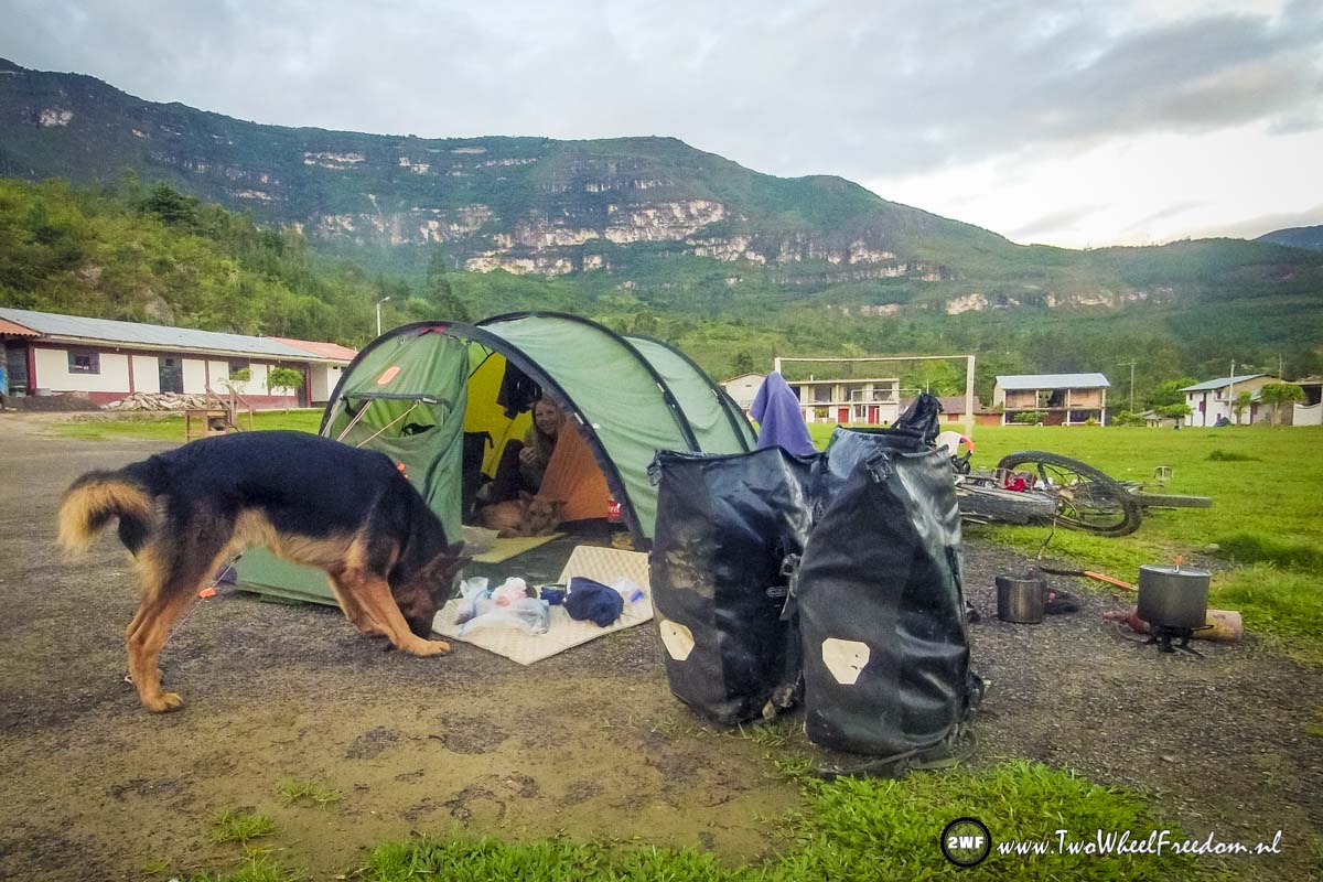
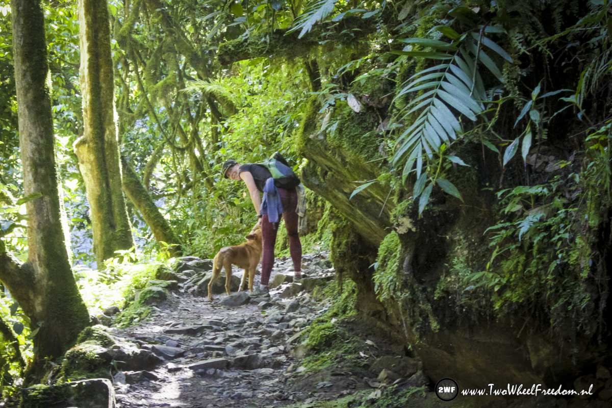
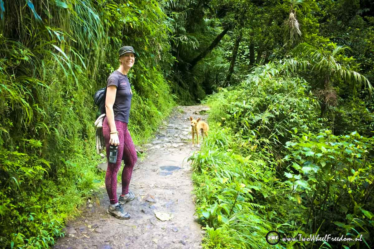
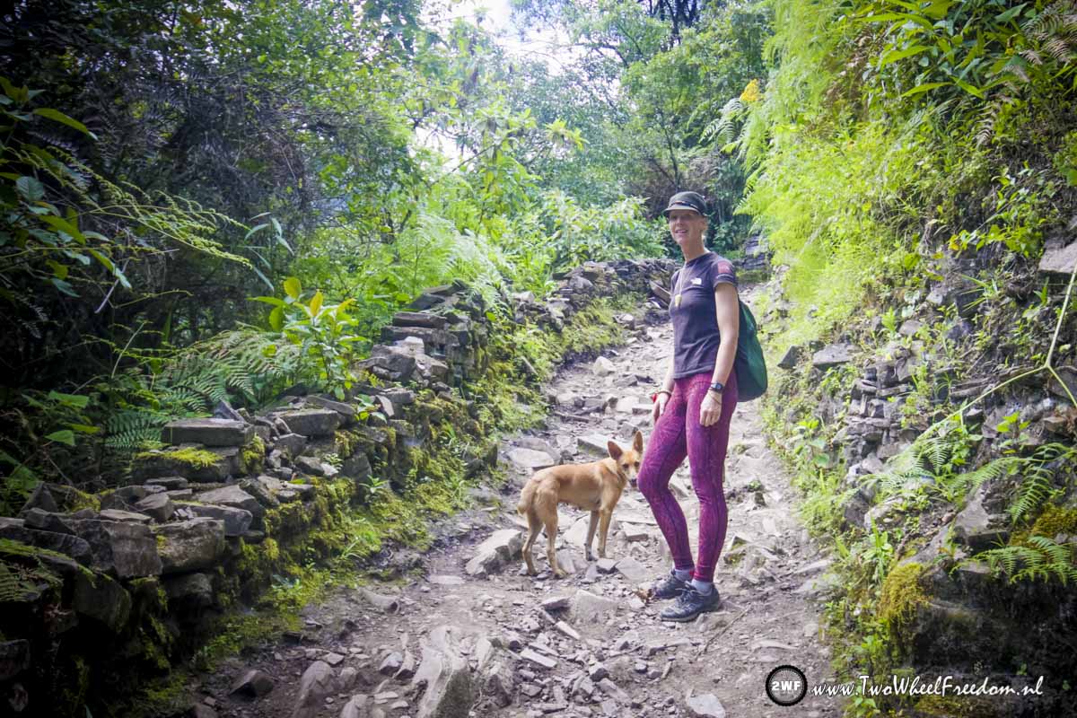
Kim has a new friend again.

Hi doggy 🙂
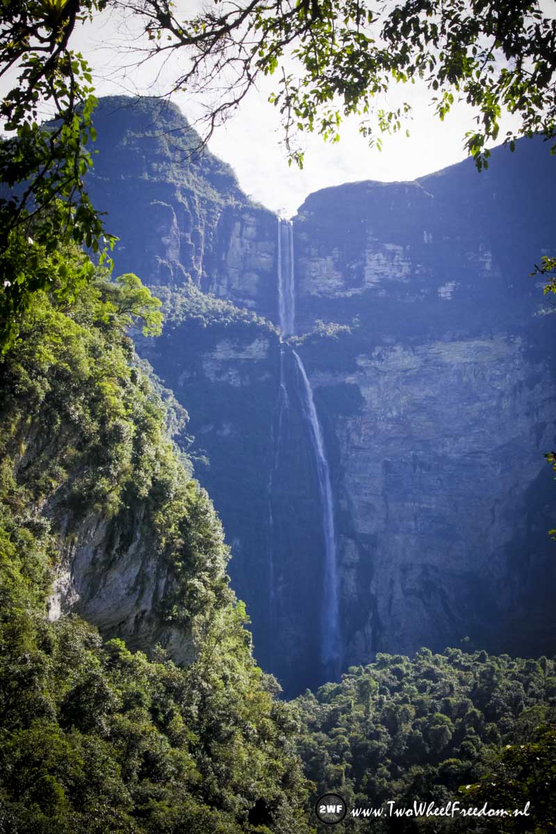
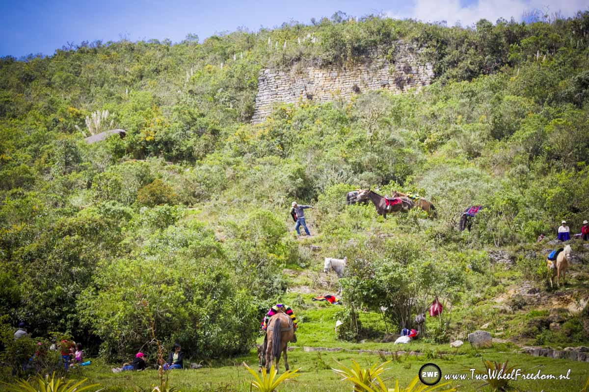
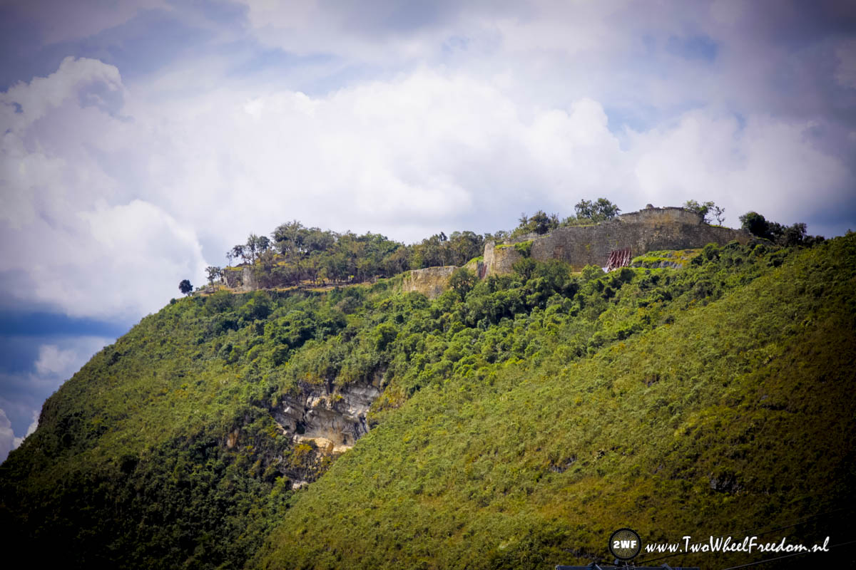
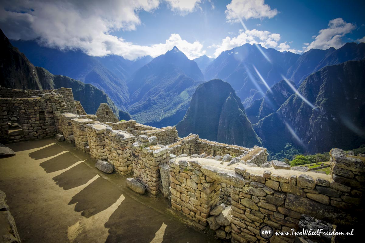
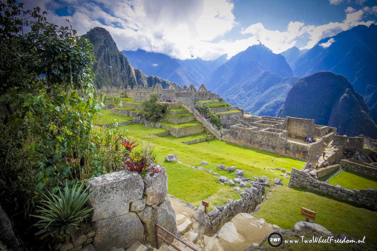
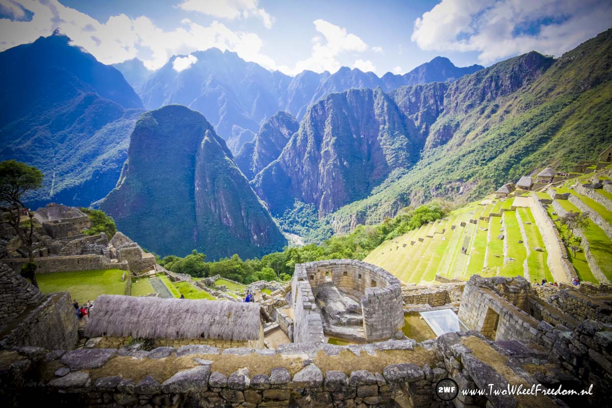
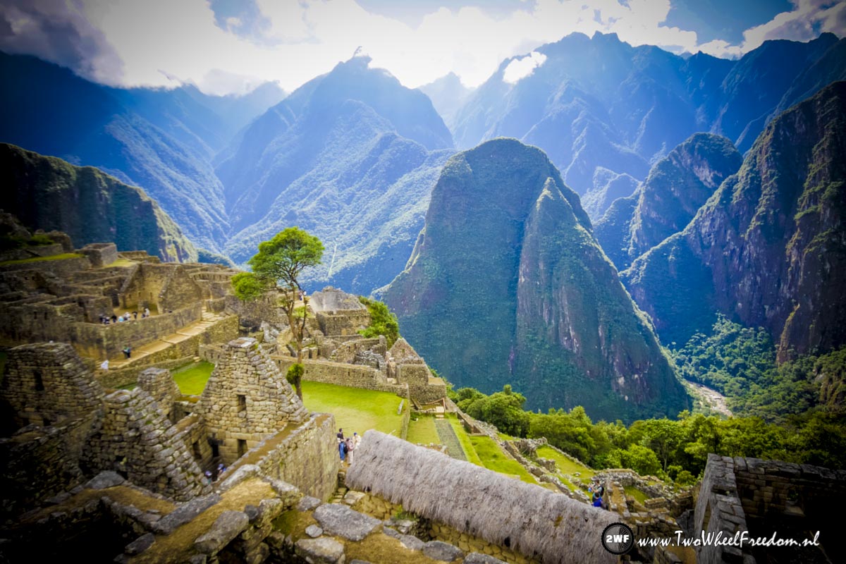
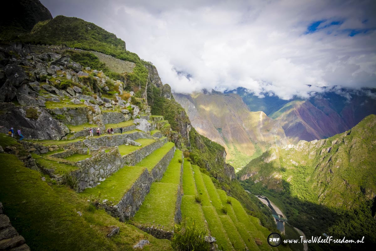
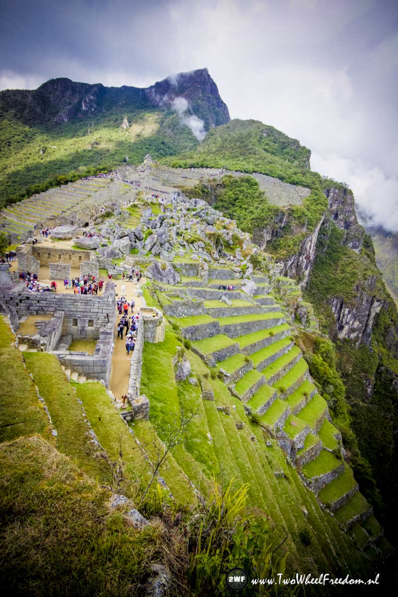
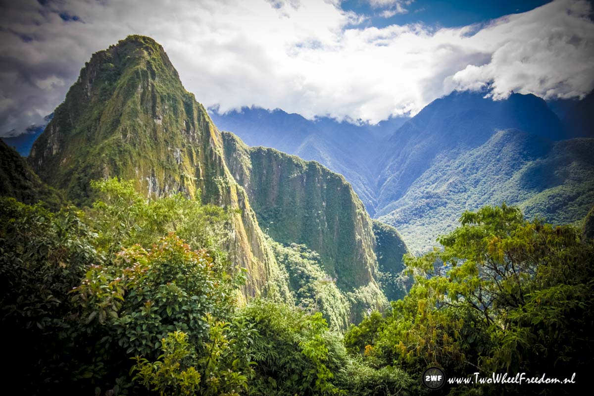
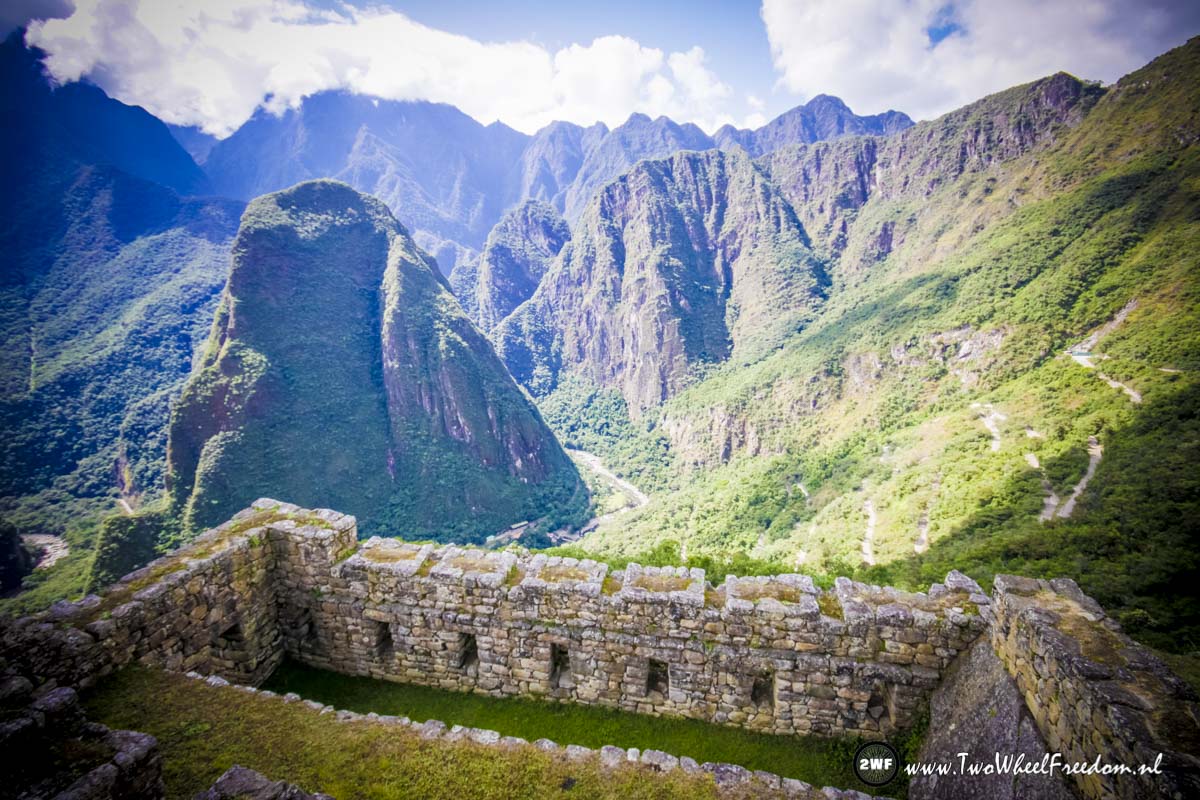
Machu Picchu seen from the back side.

Another train comes along.
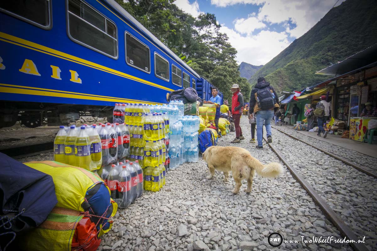
At the train station loads of stuff.
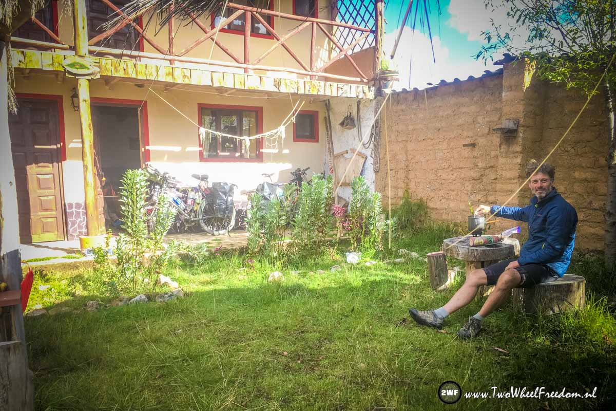
Back at our Warmshowers adress in Cusco Arjan helps Walter in the big garden.
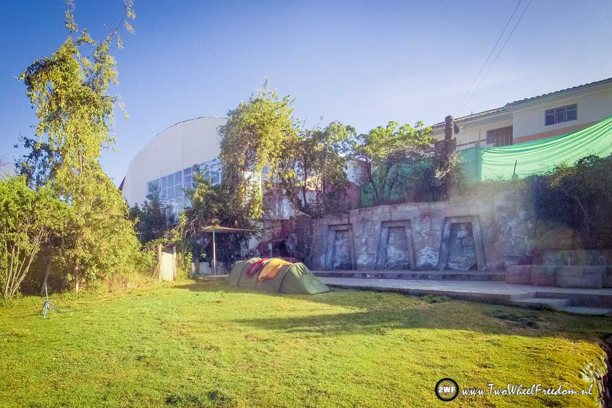
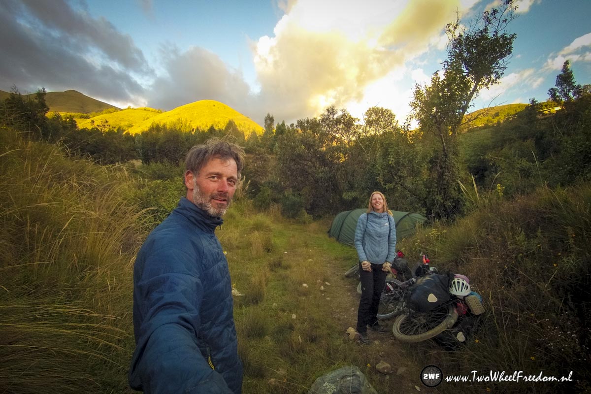
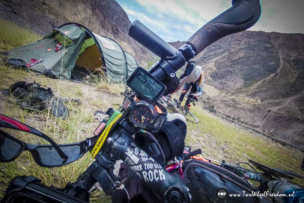
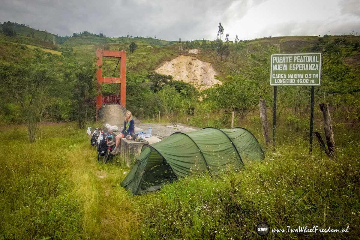
Camping in the garden of Walter.
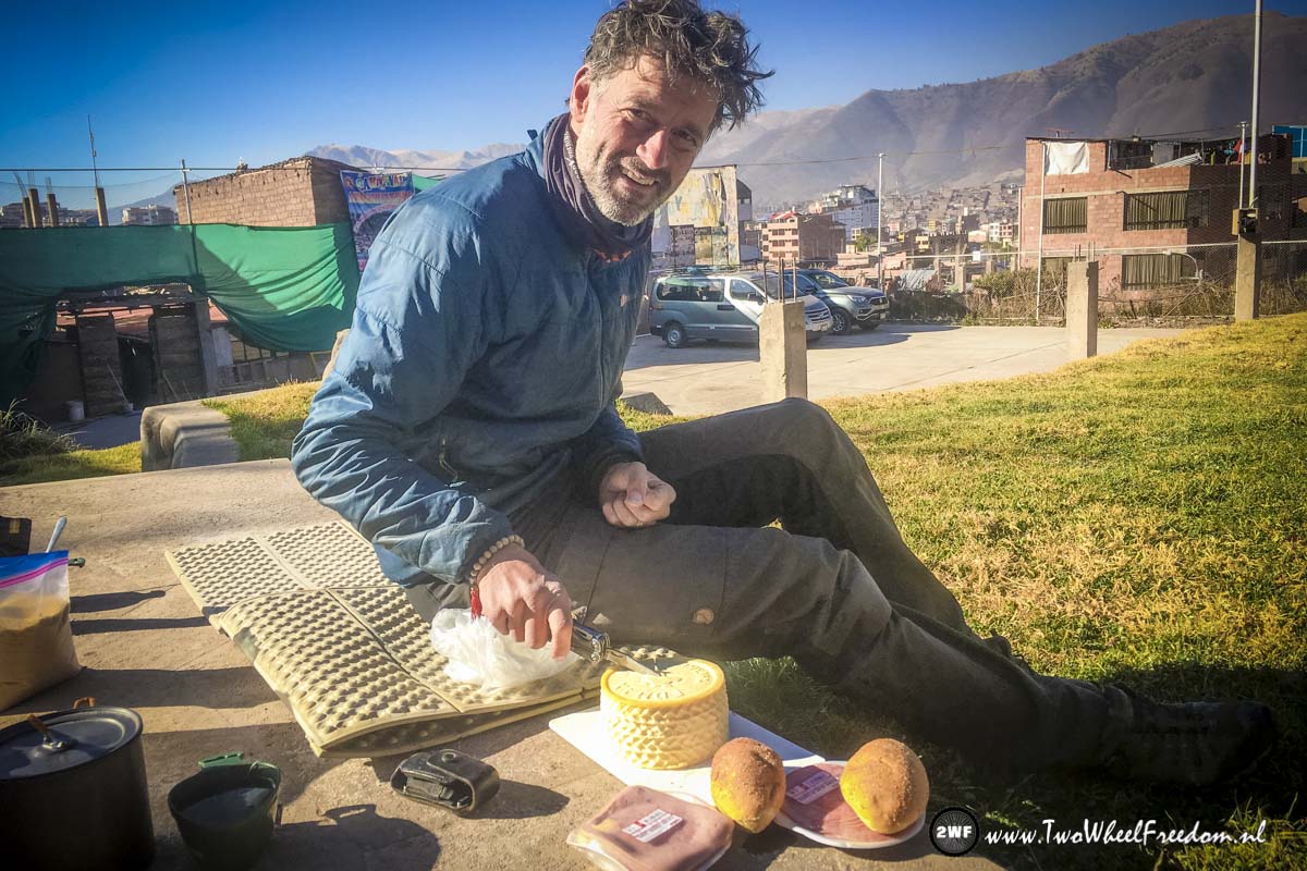
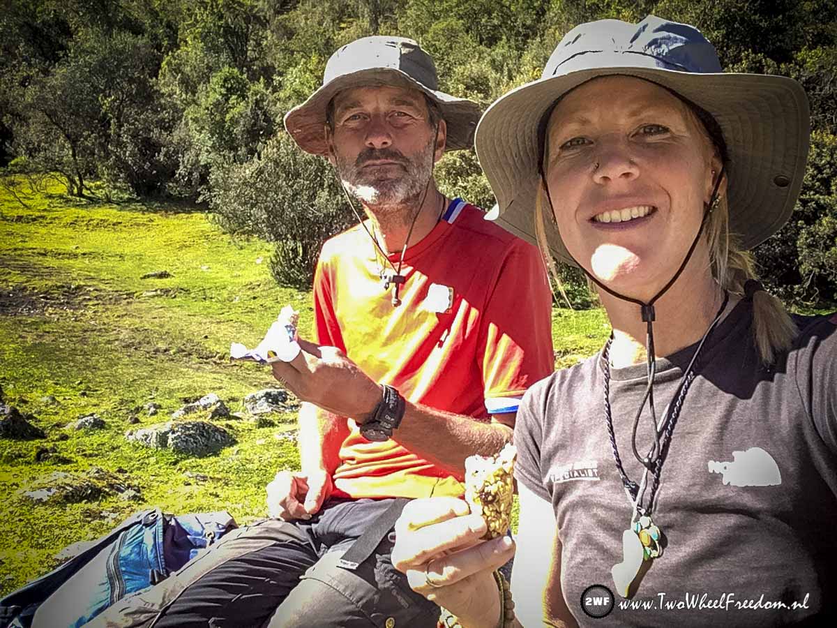
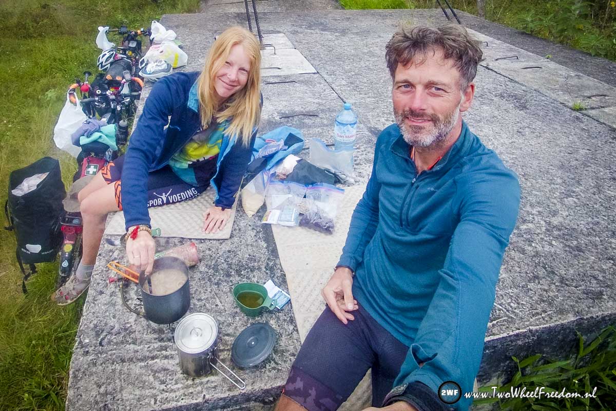
Fresh bread, bacon and cheese for breakfast.
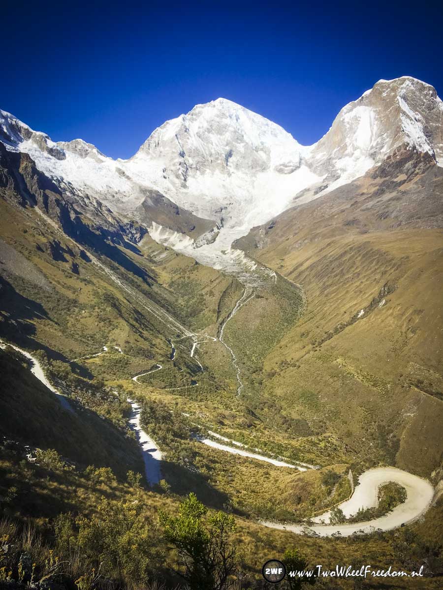
Rainbow Mountain and the far South

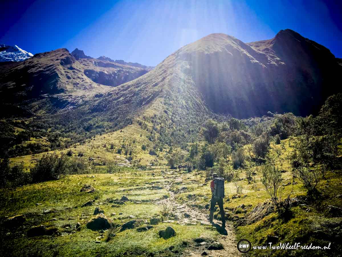
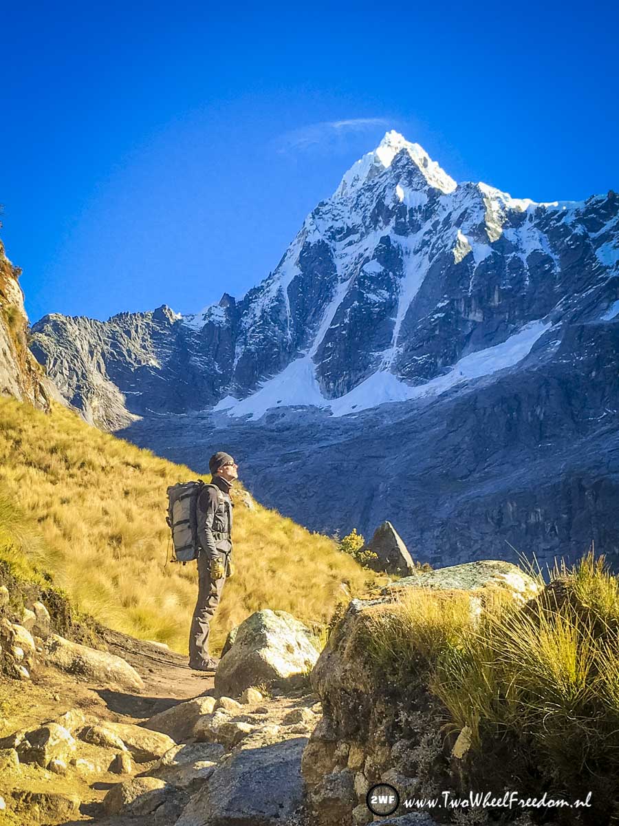
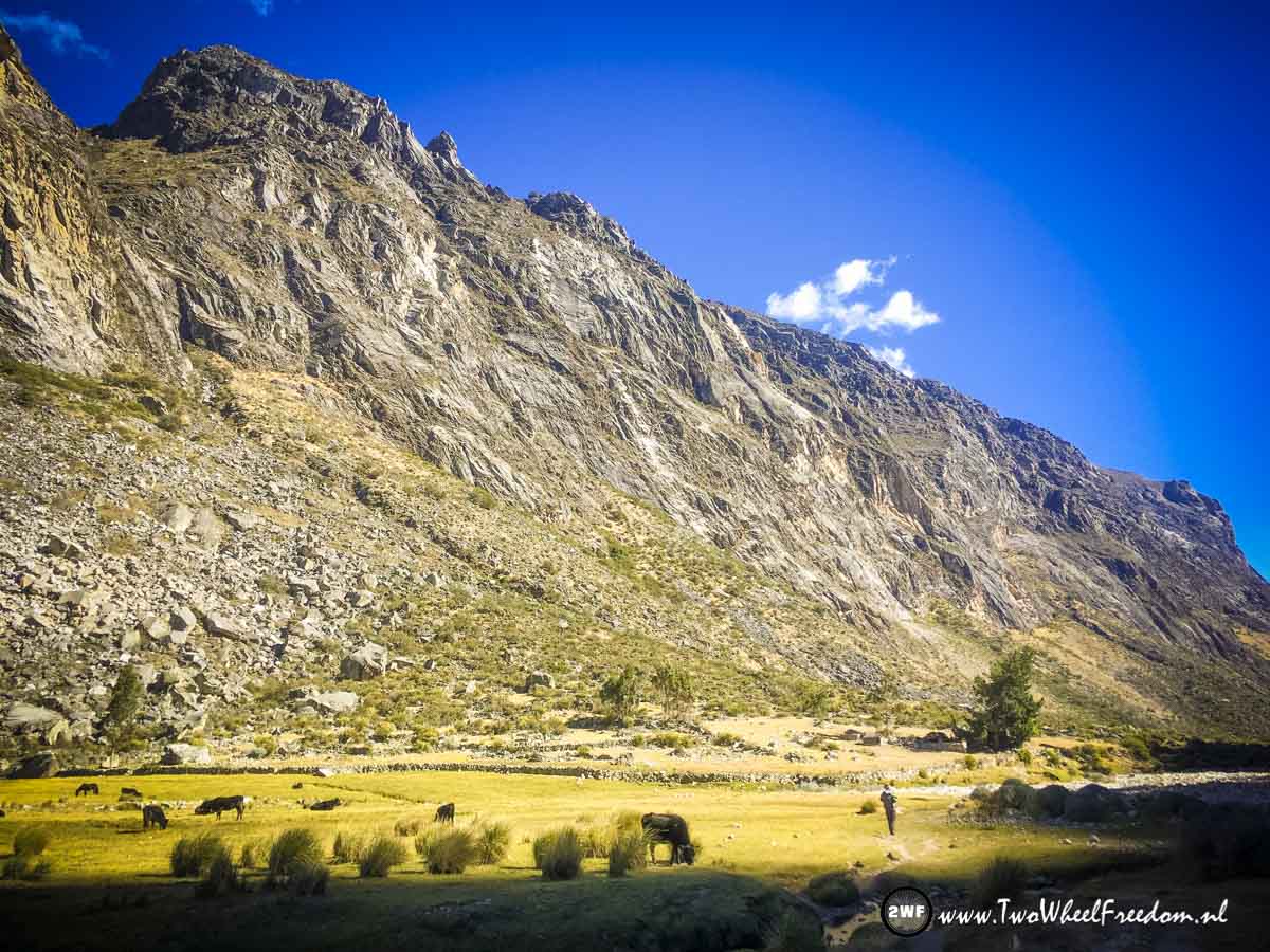
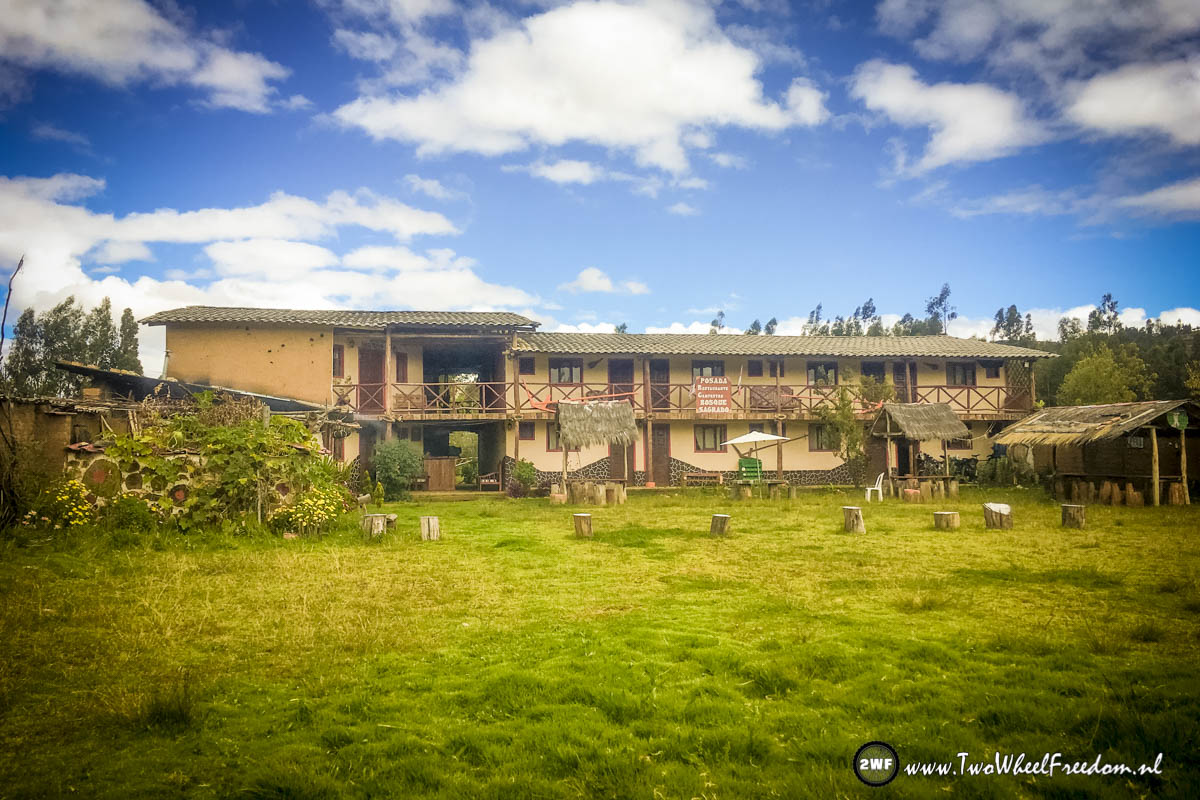
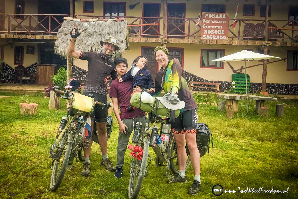
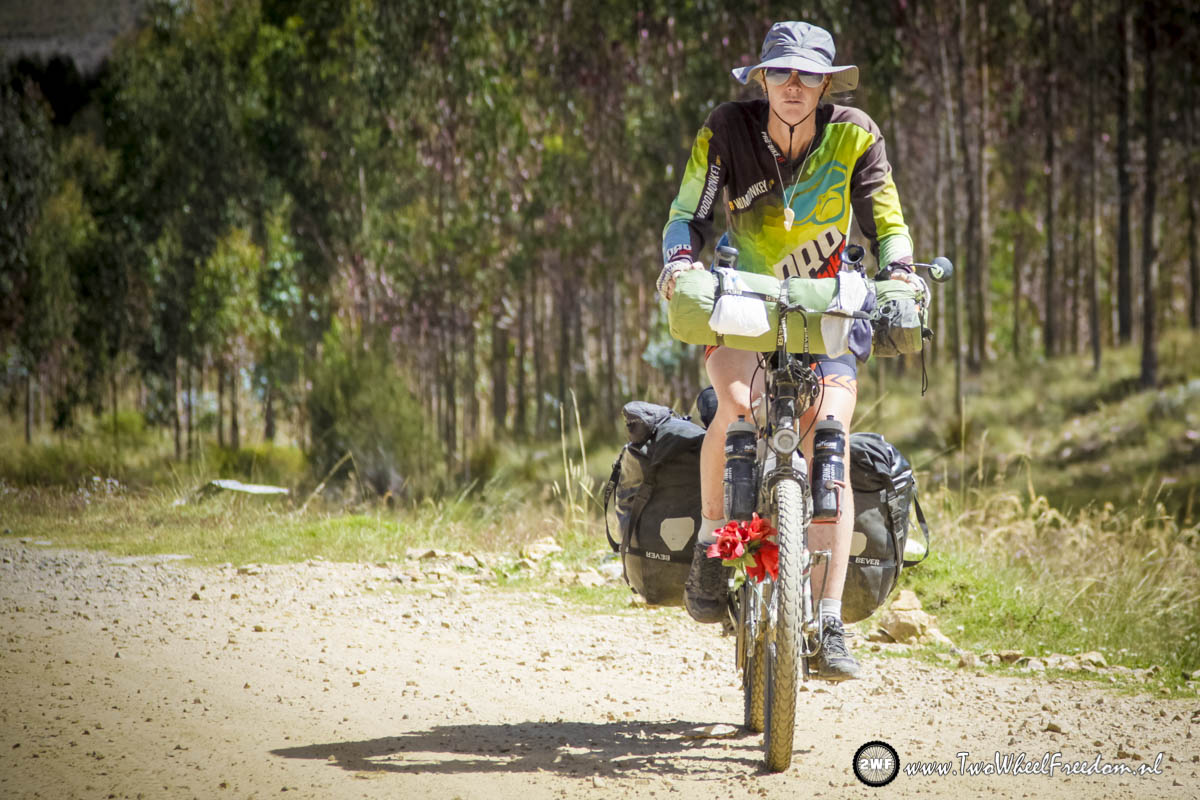
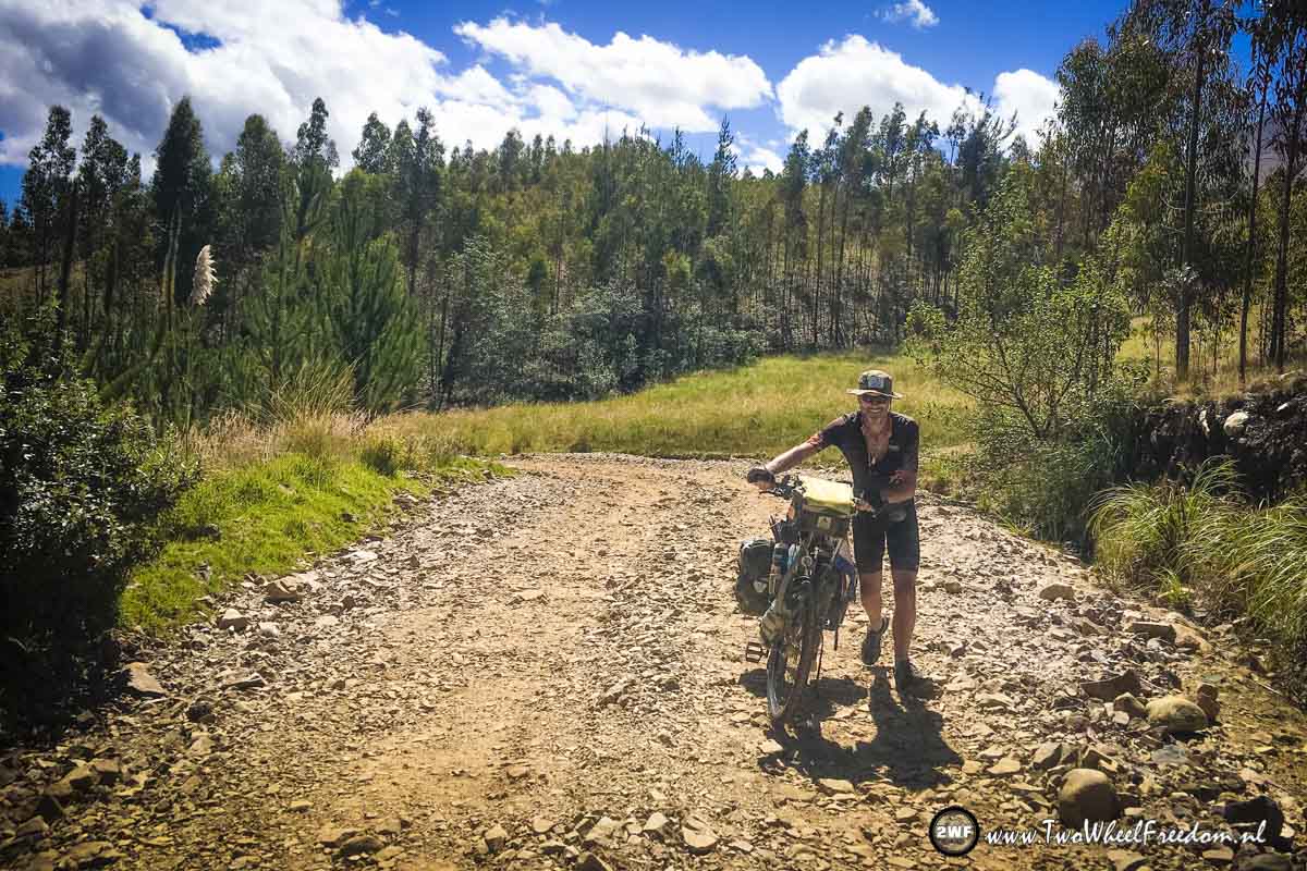
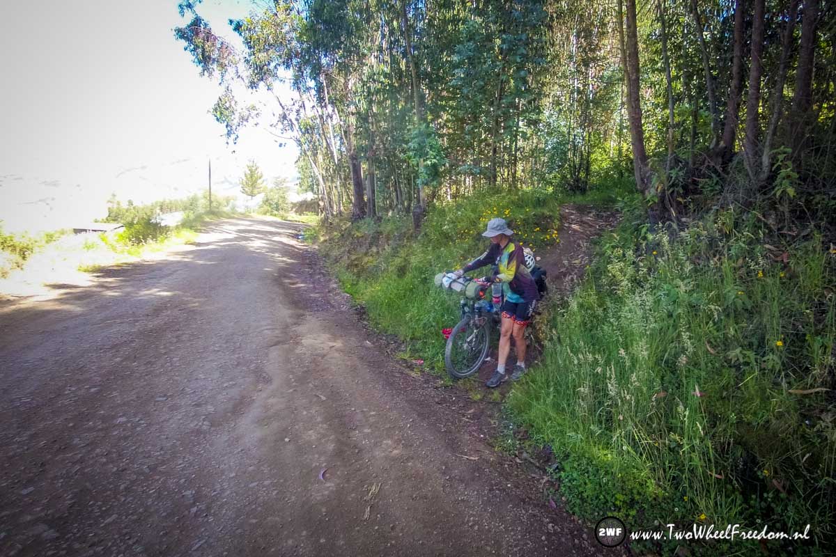
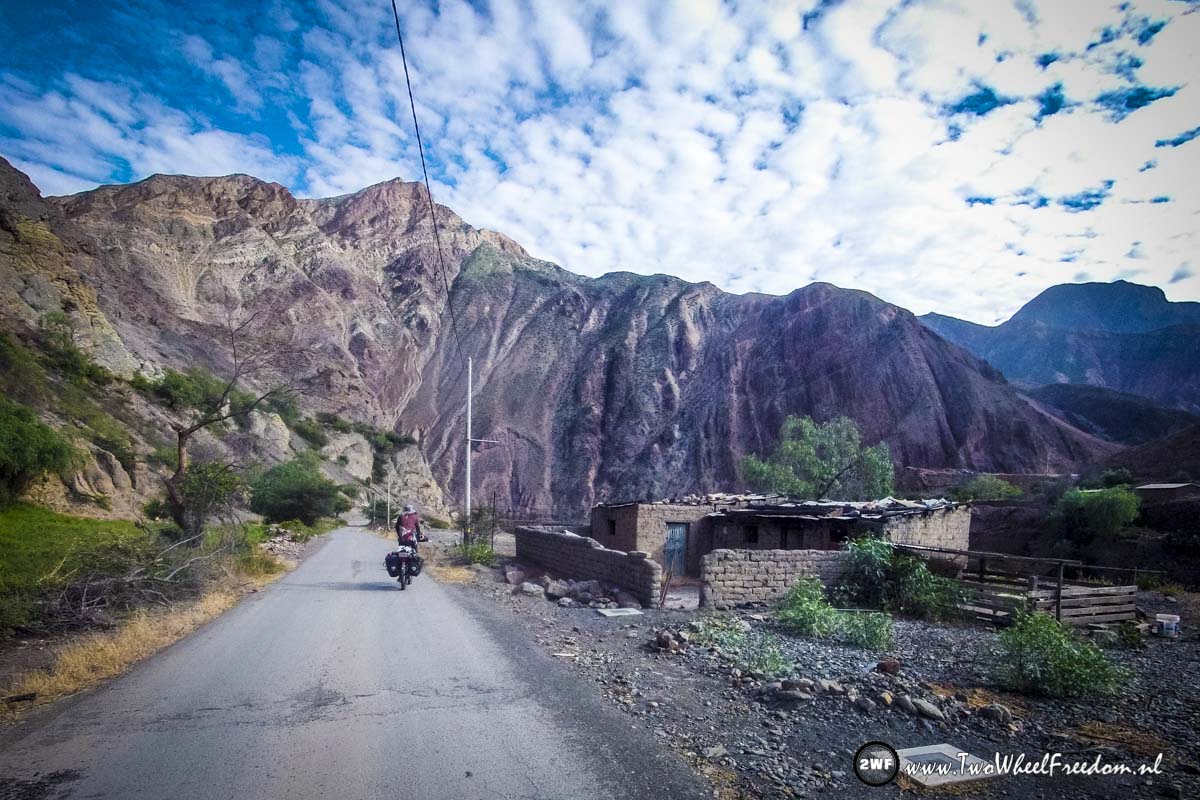
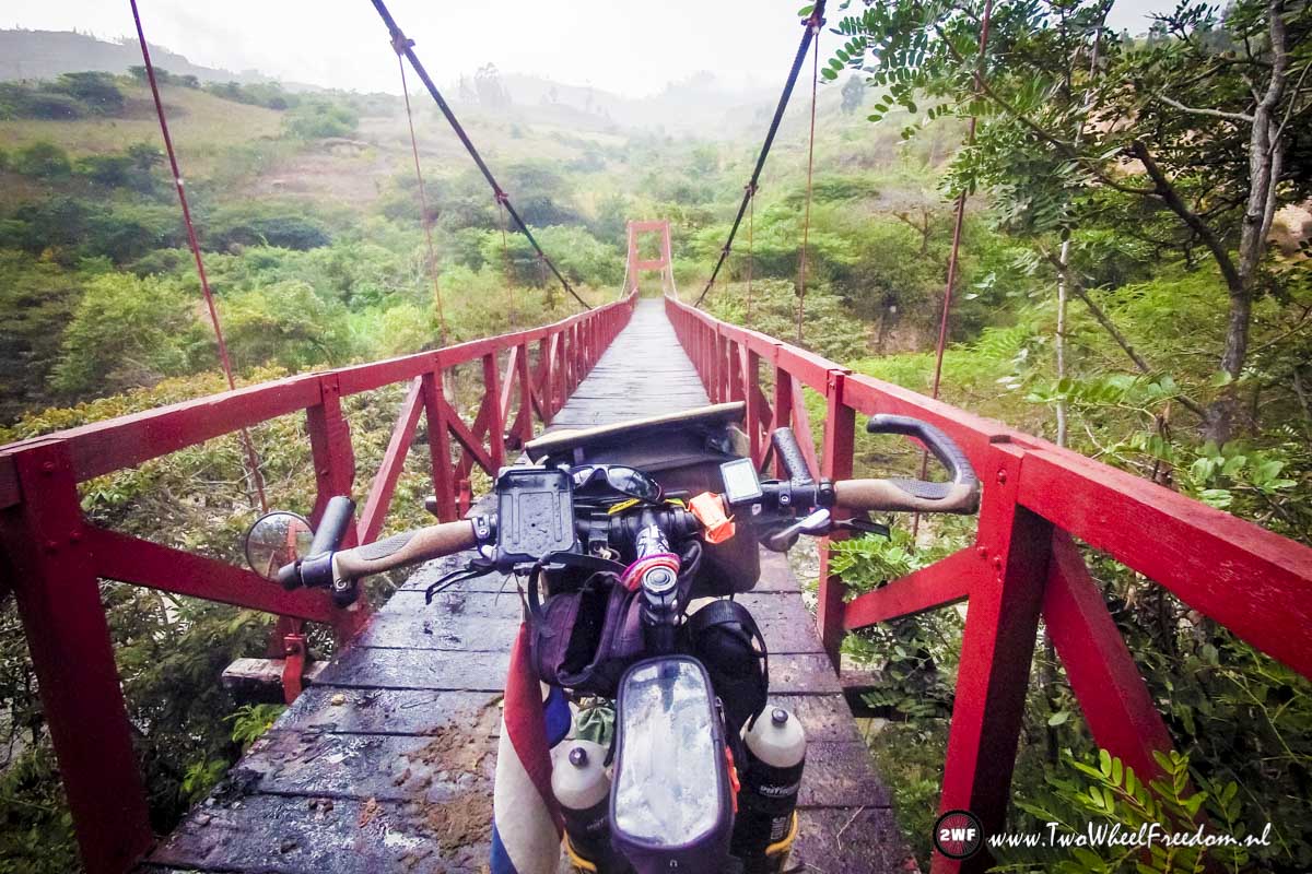
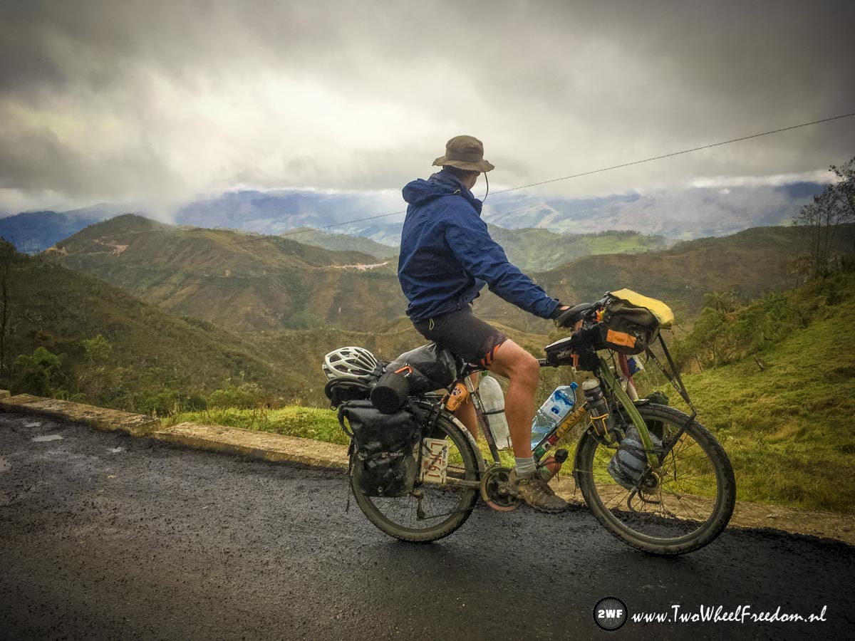
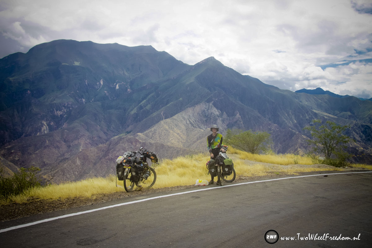
Leaving Cusco again, on our (long) way to Bolivia.
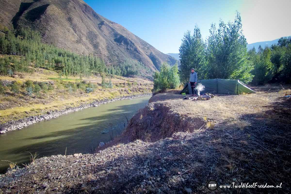
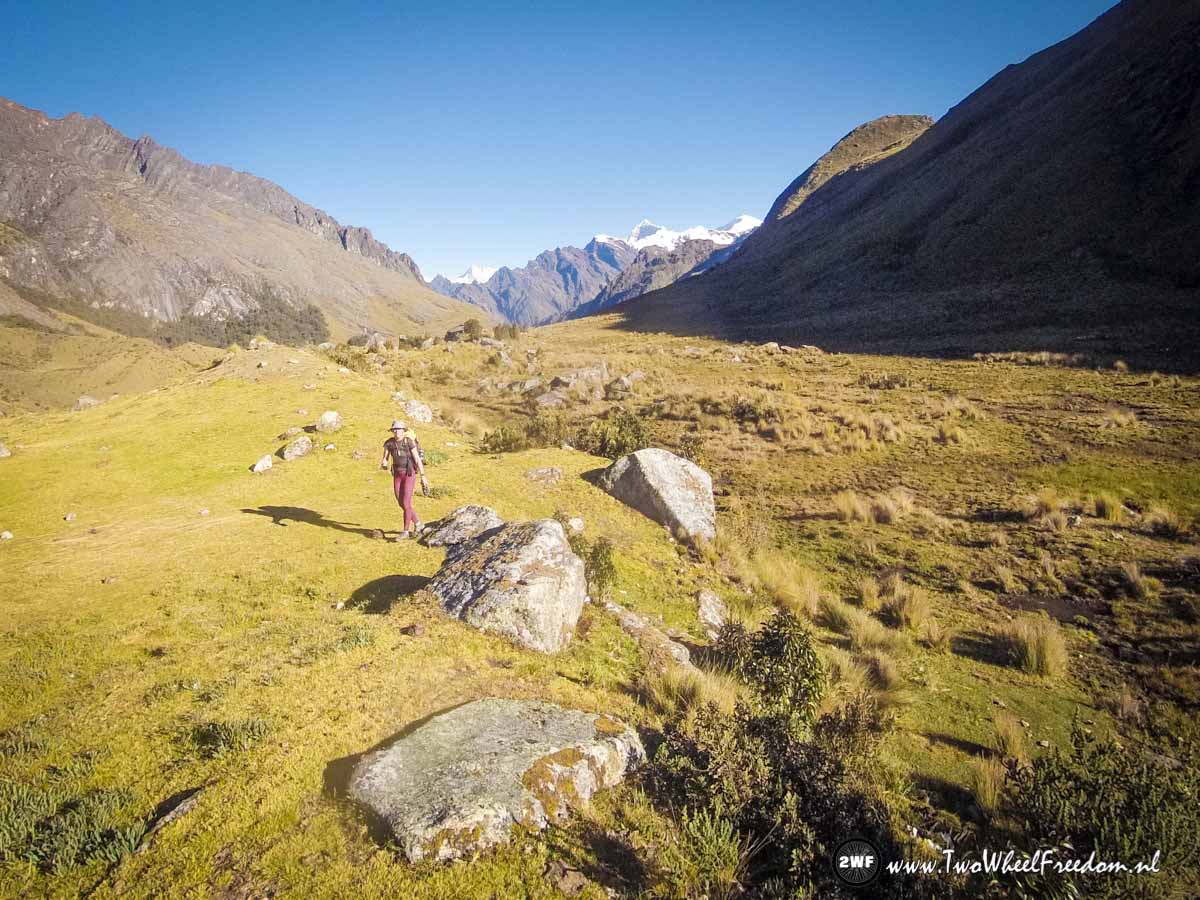
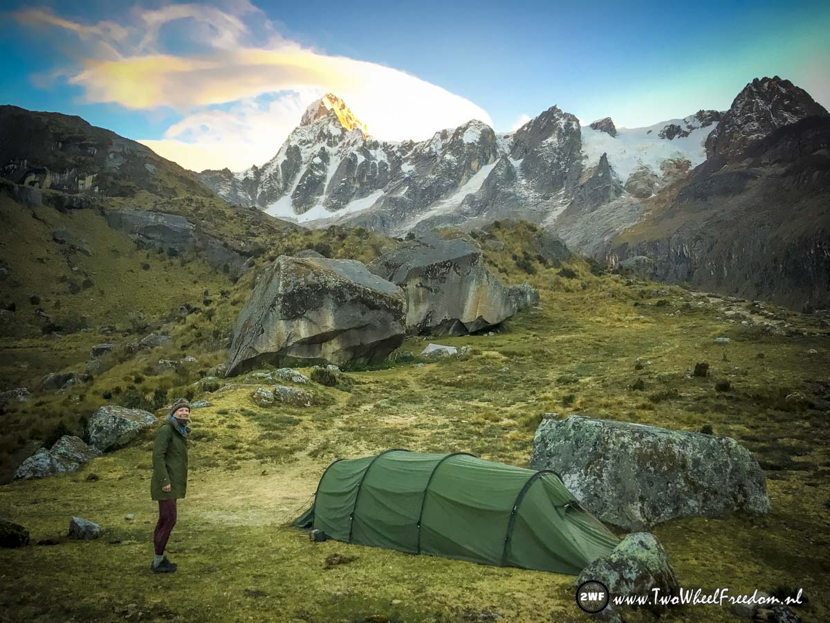
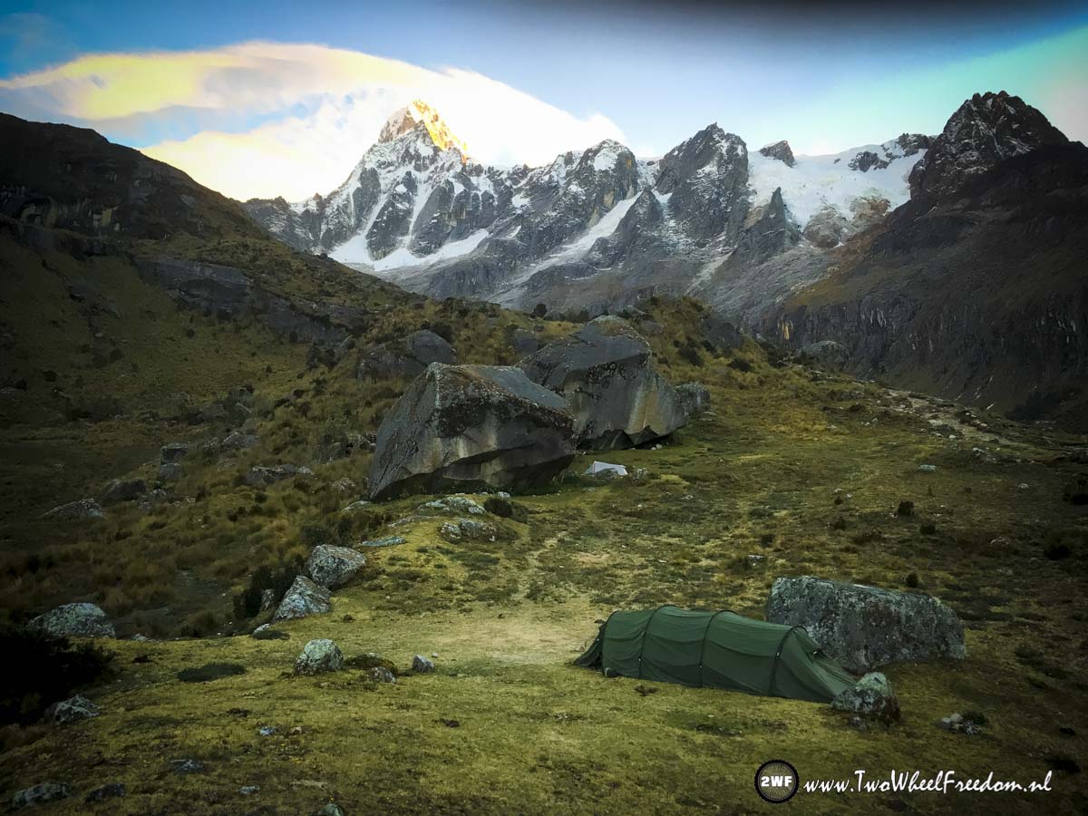
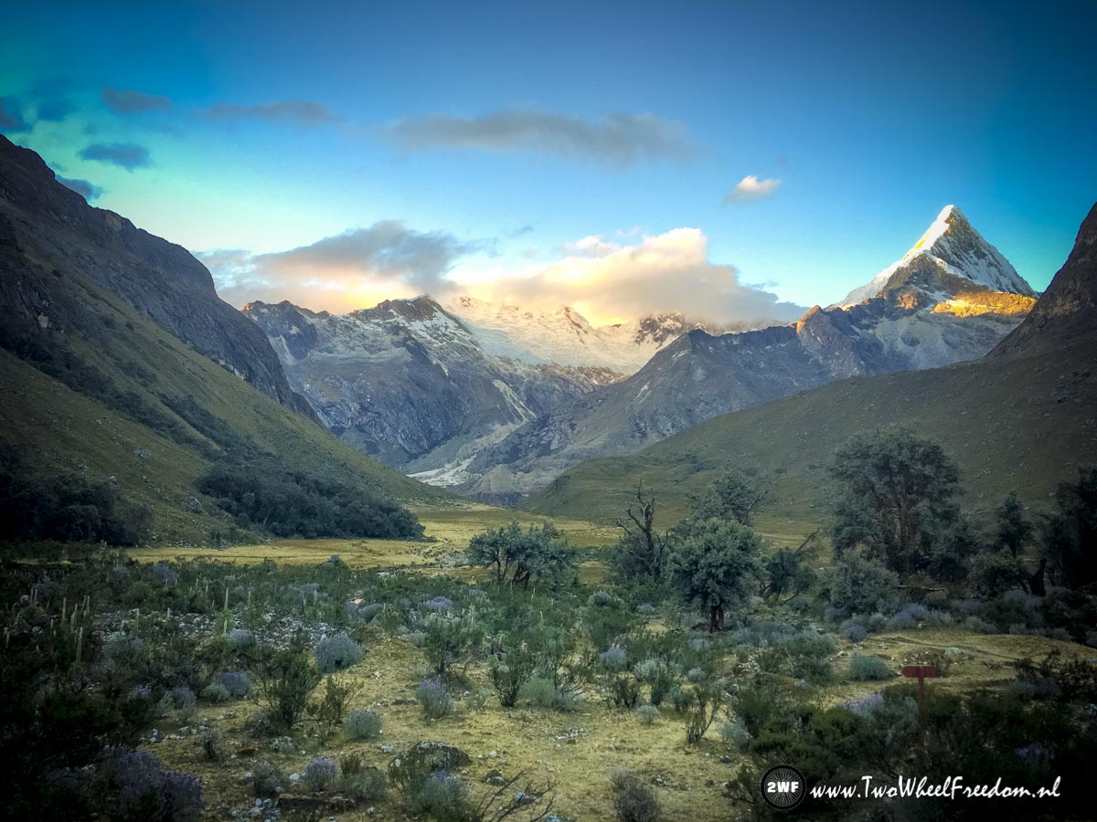
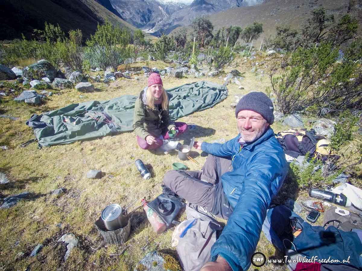
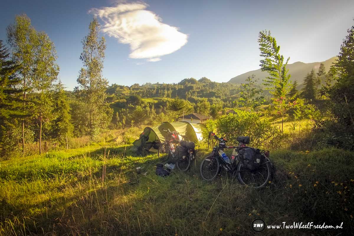
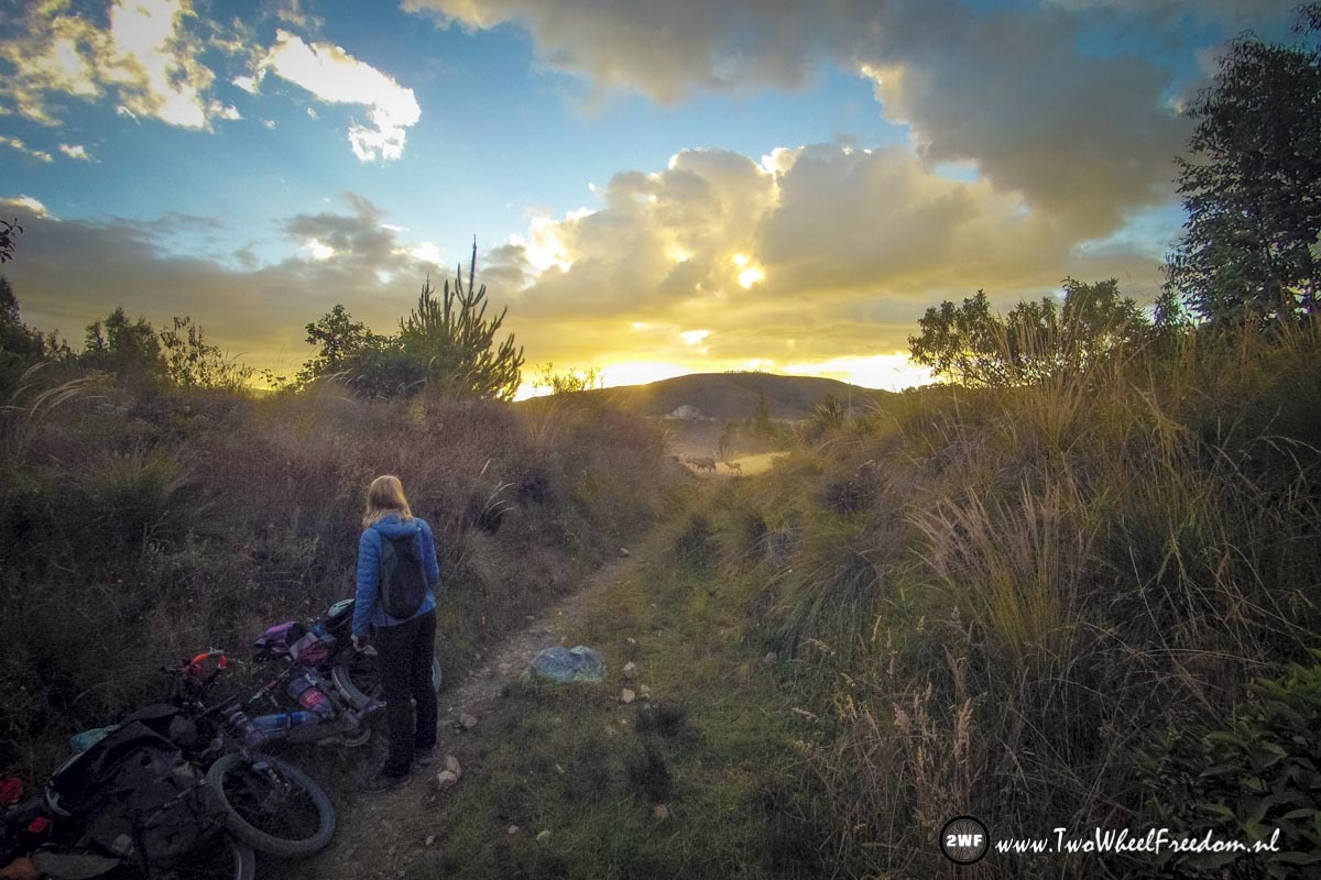
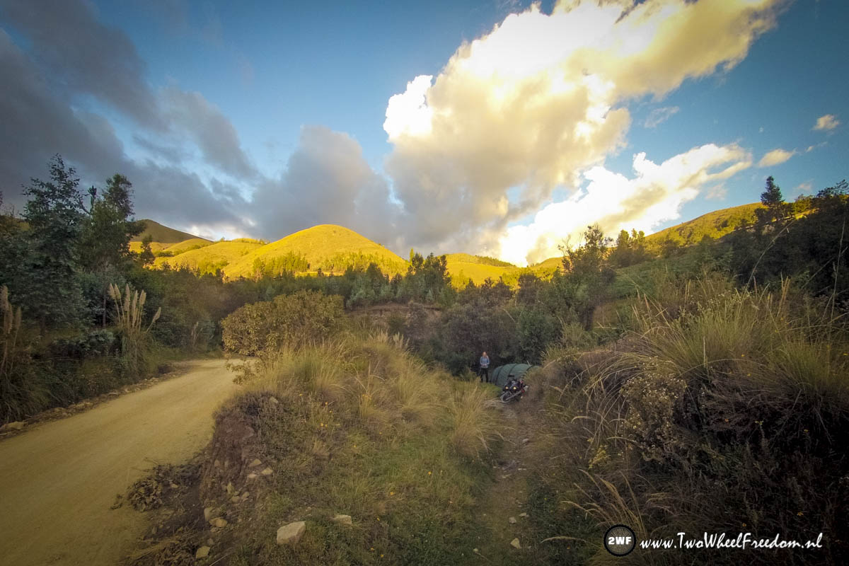
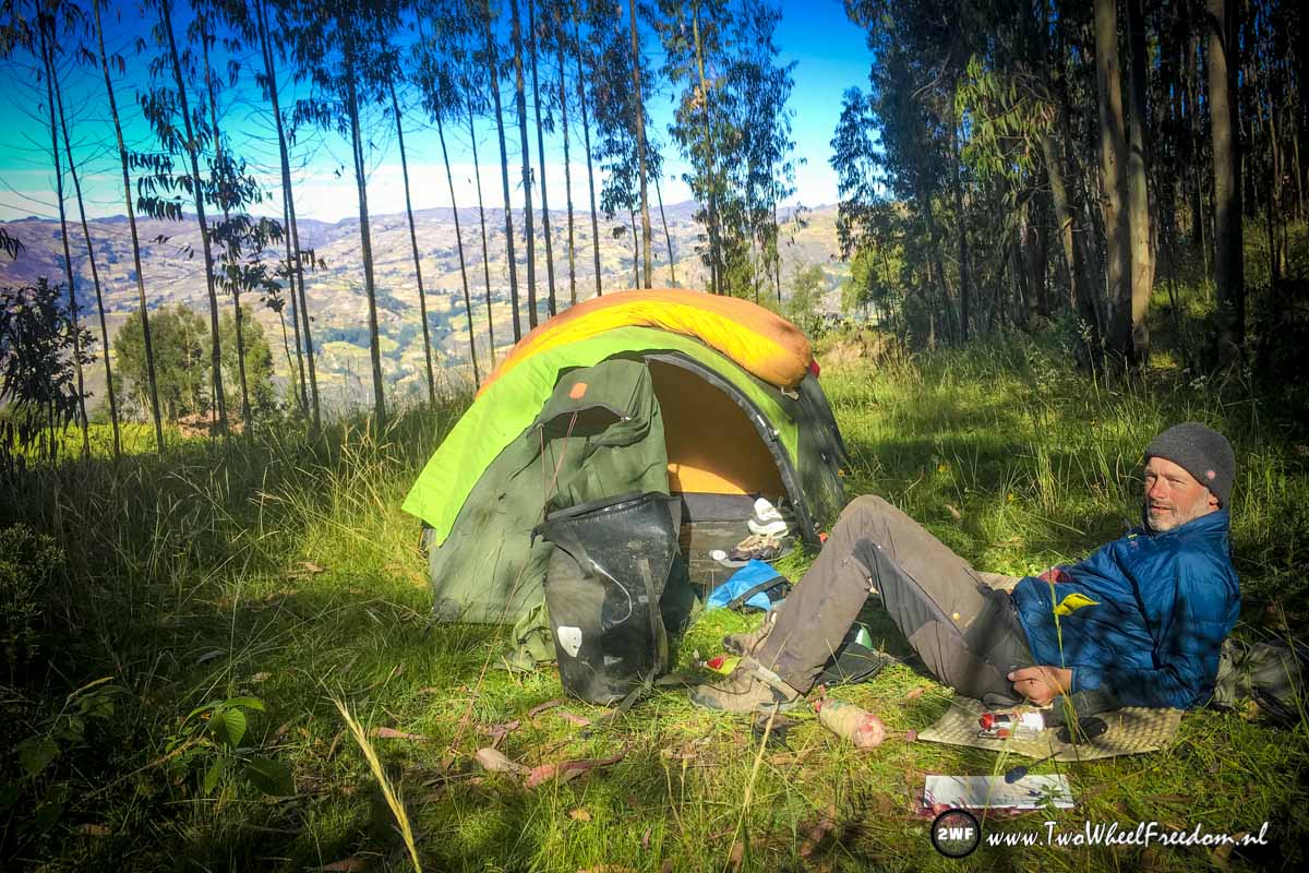
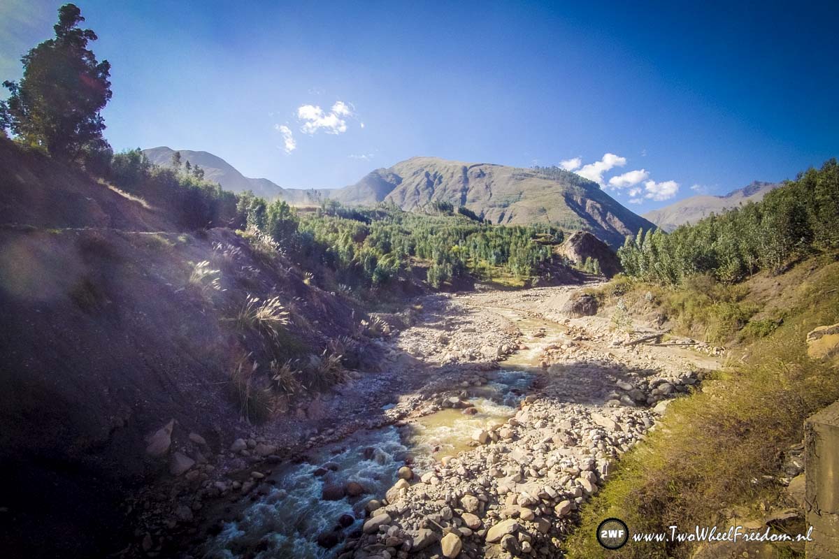
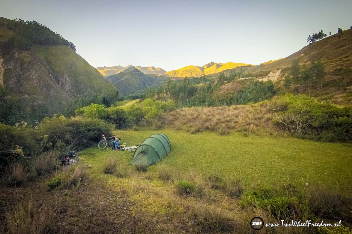
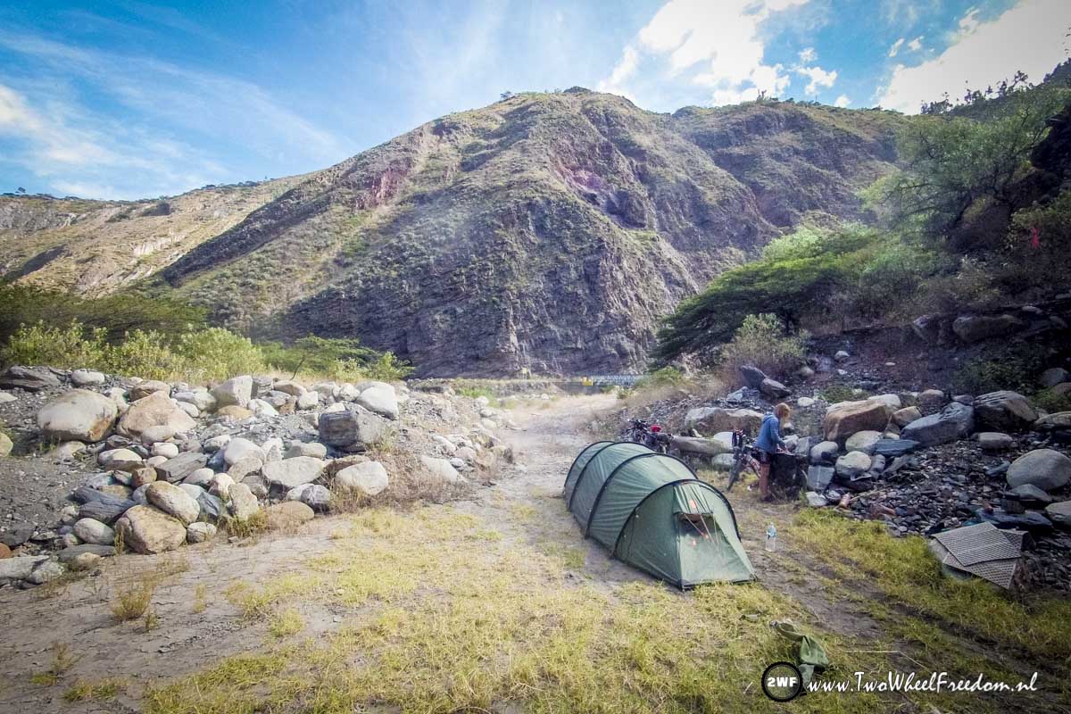
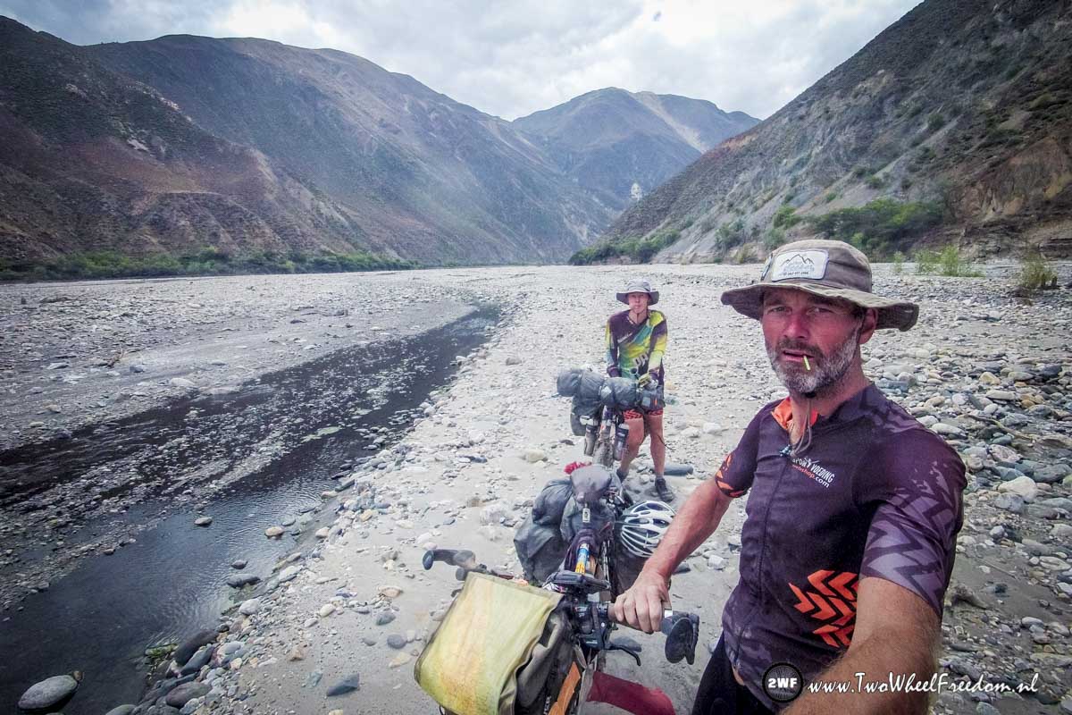
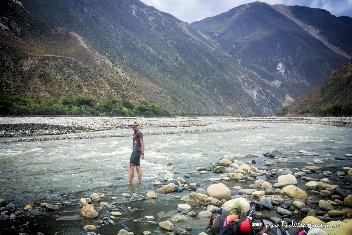
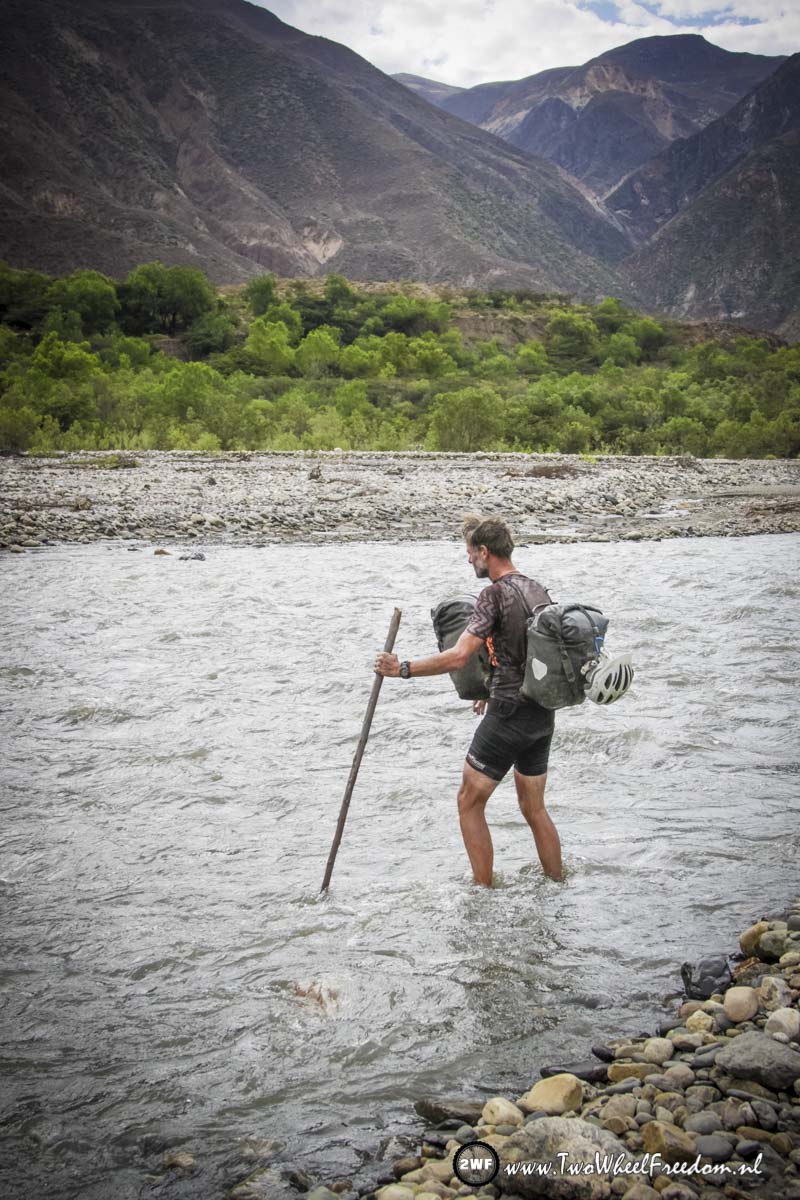
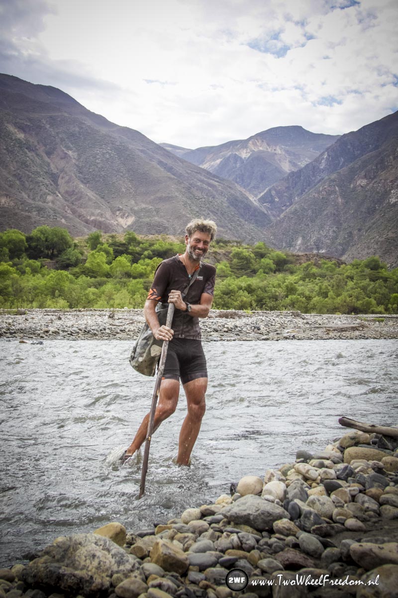
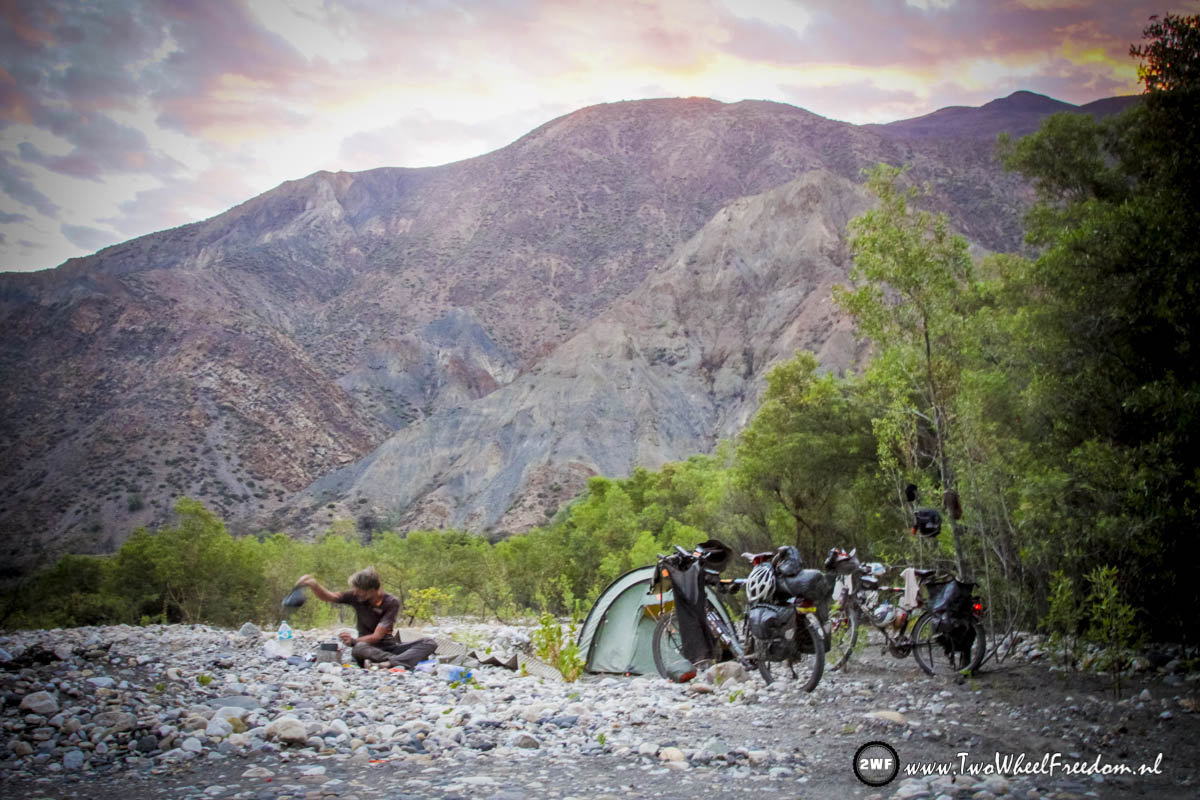
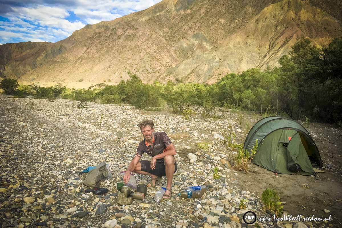
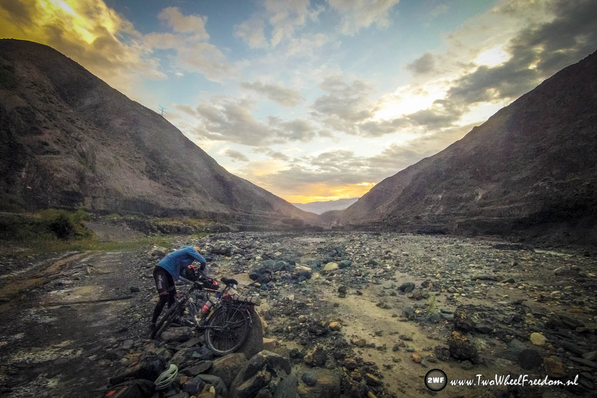
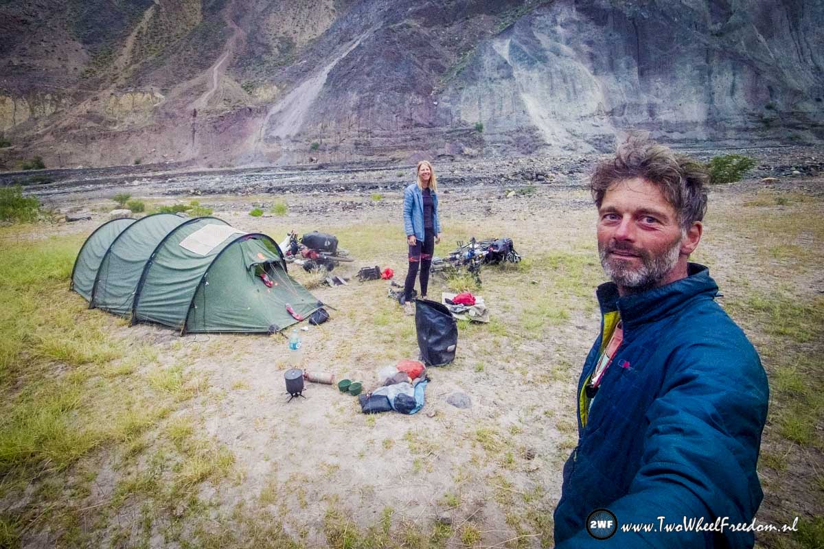
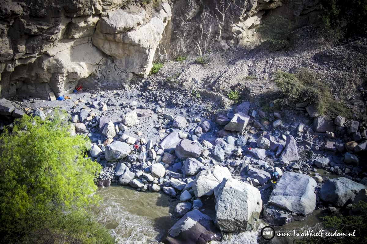
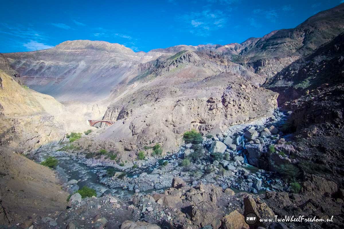
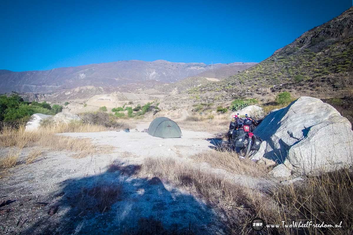
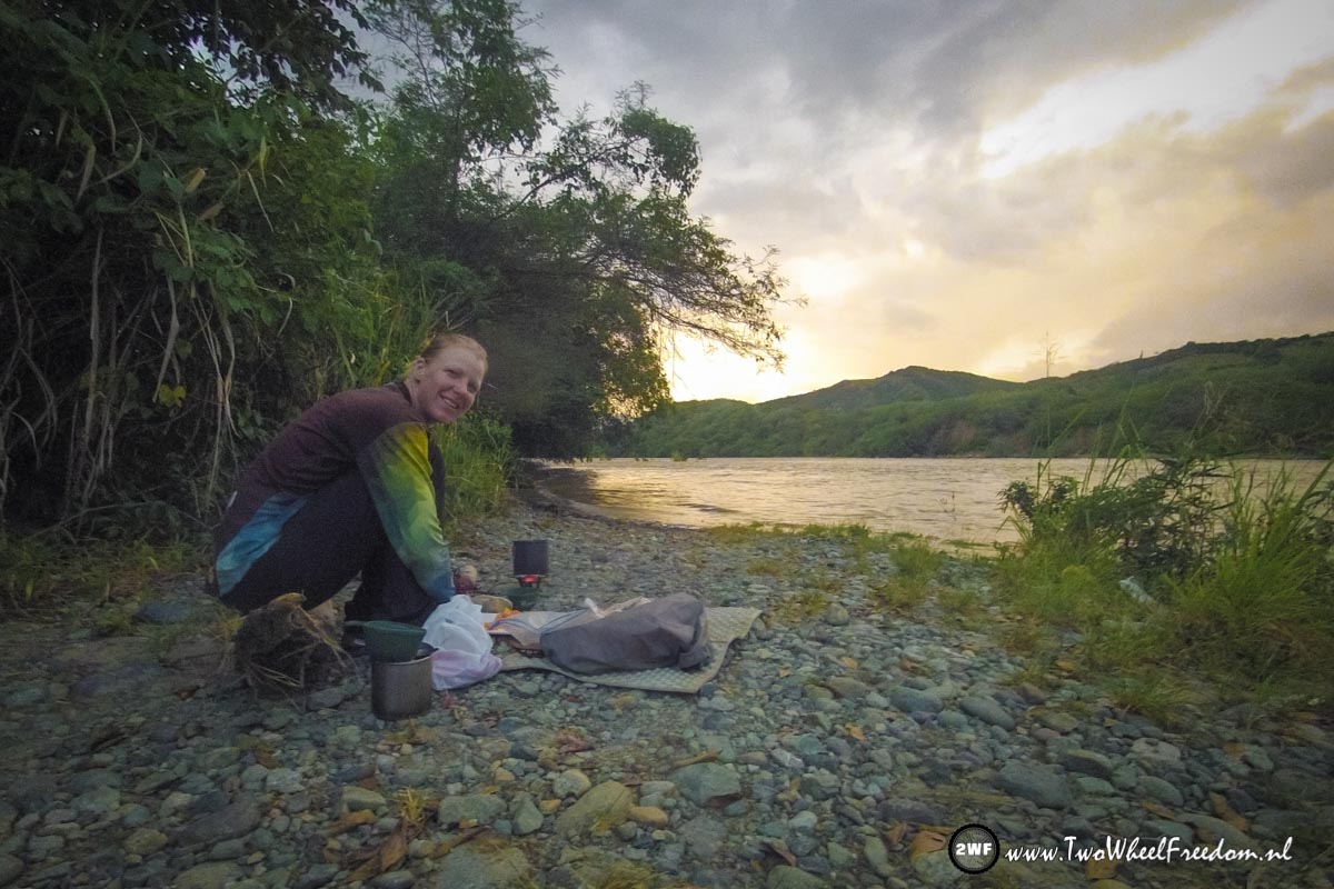
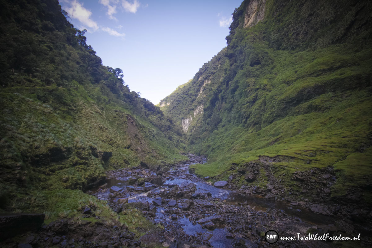
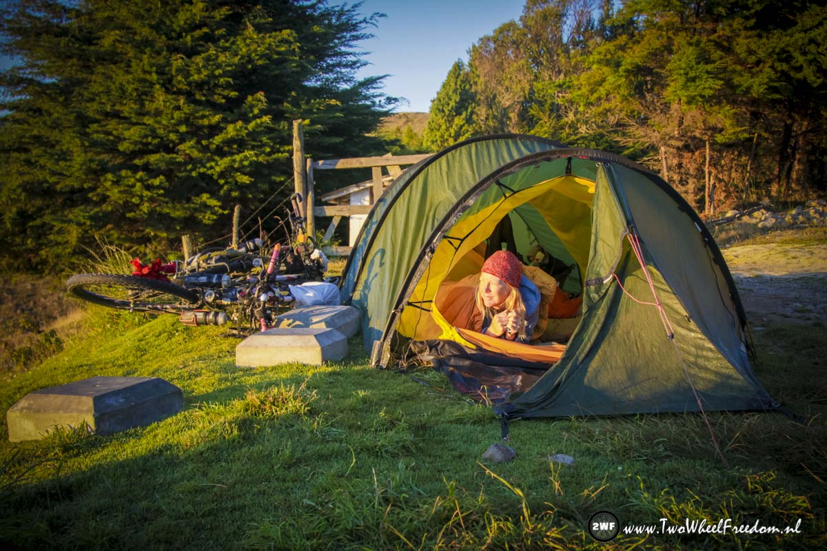
Wildcamp at a beautiful spot along a river.
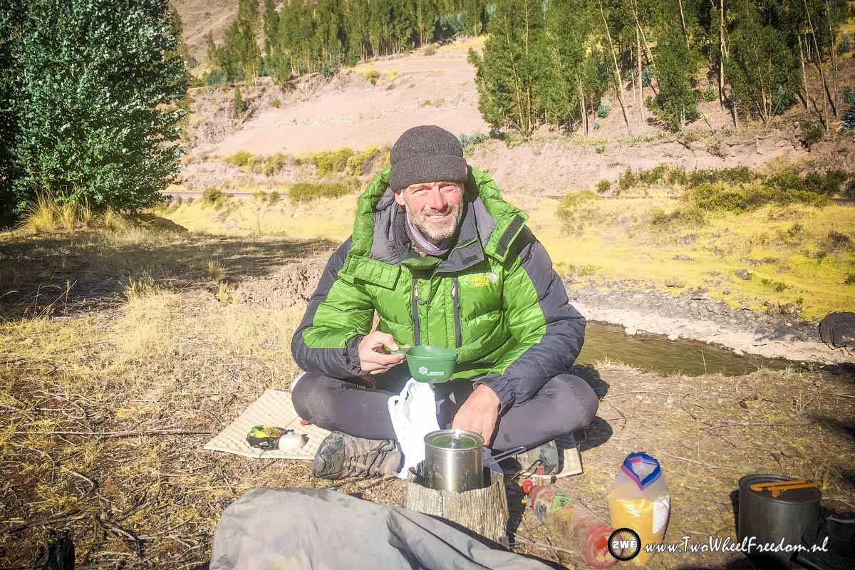
At night freezing cold so in the morning a warm downjacket and a hot tea.
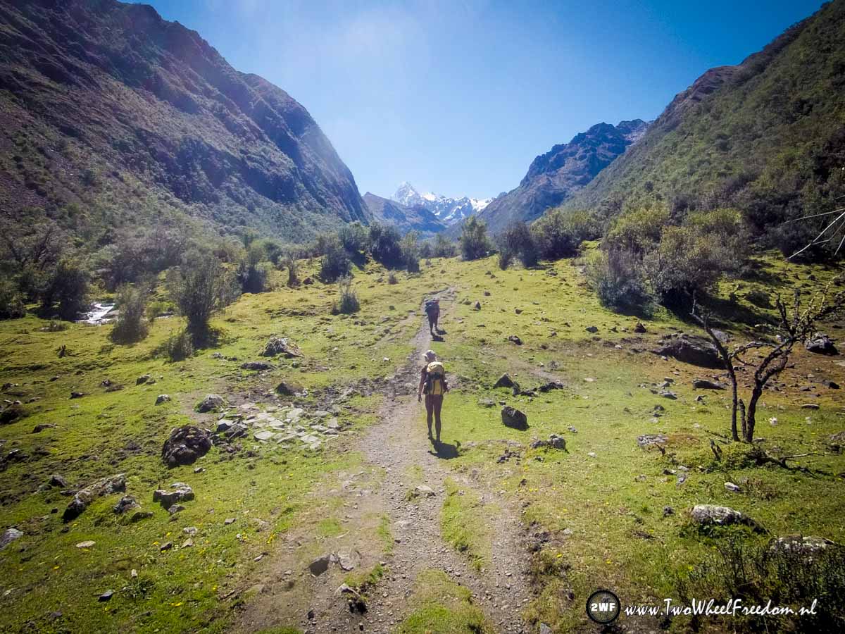
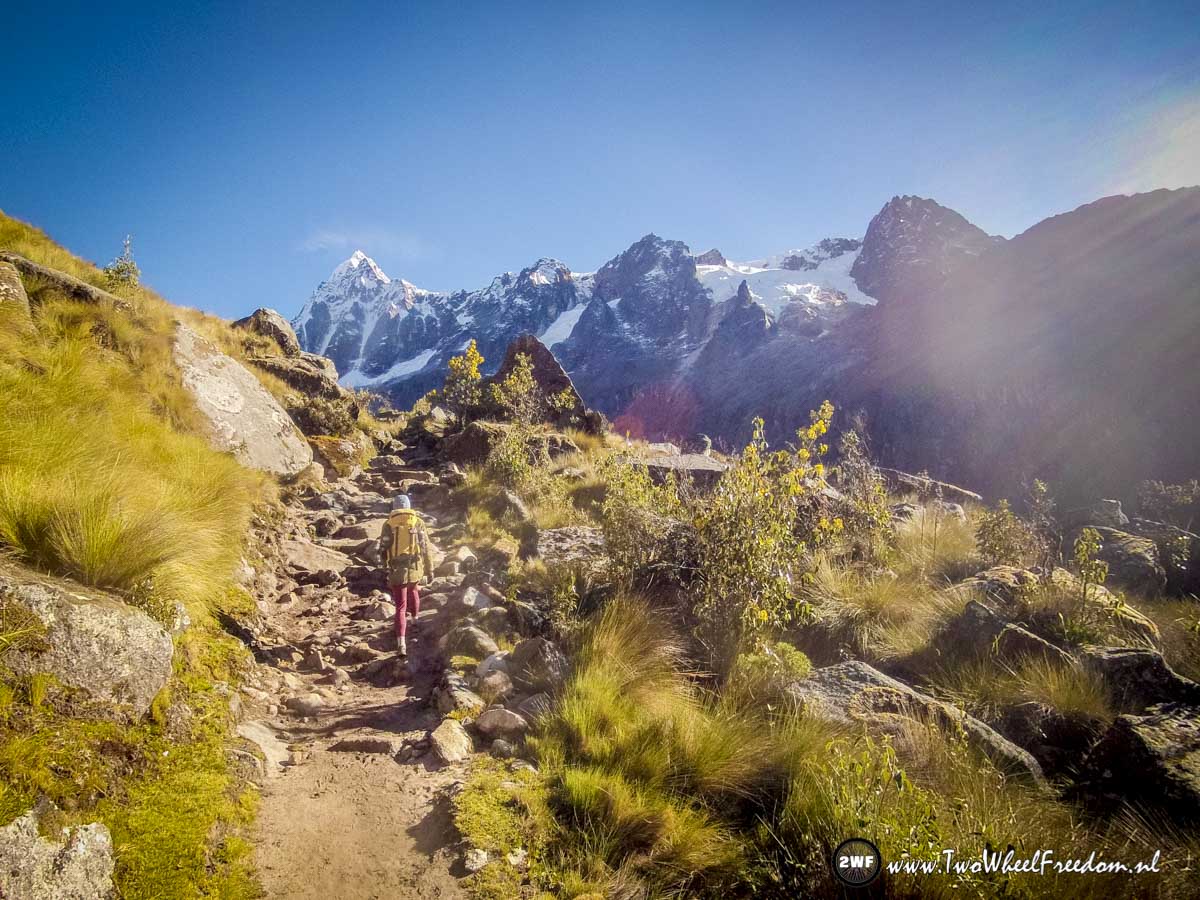
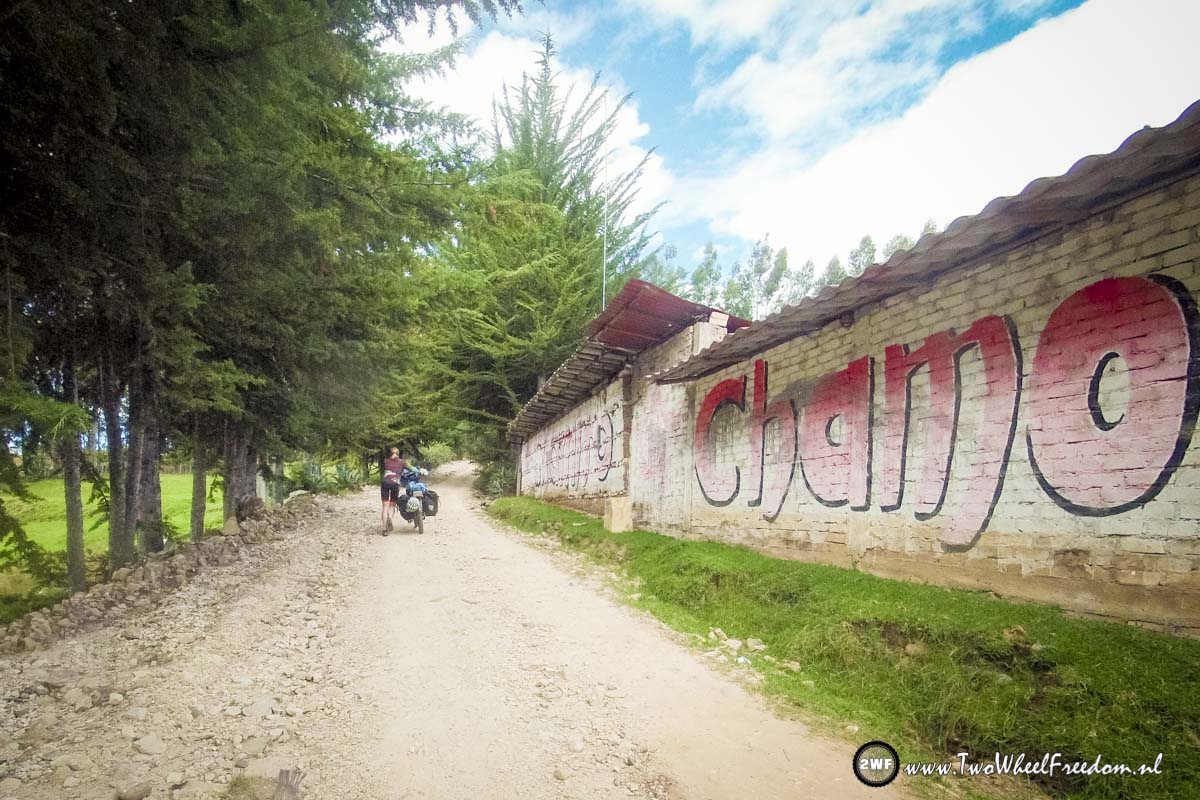
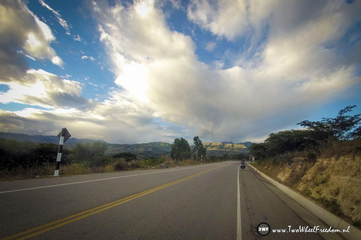
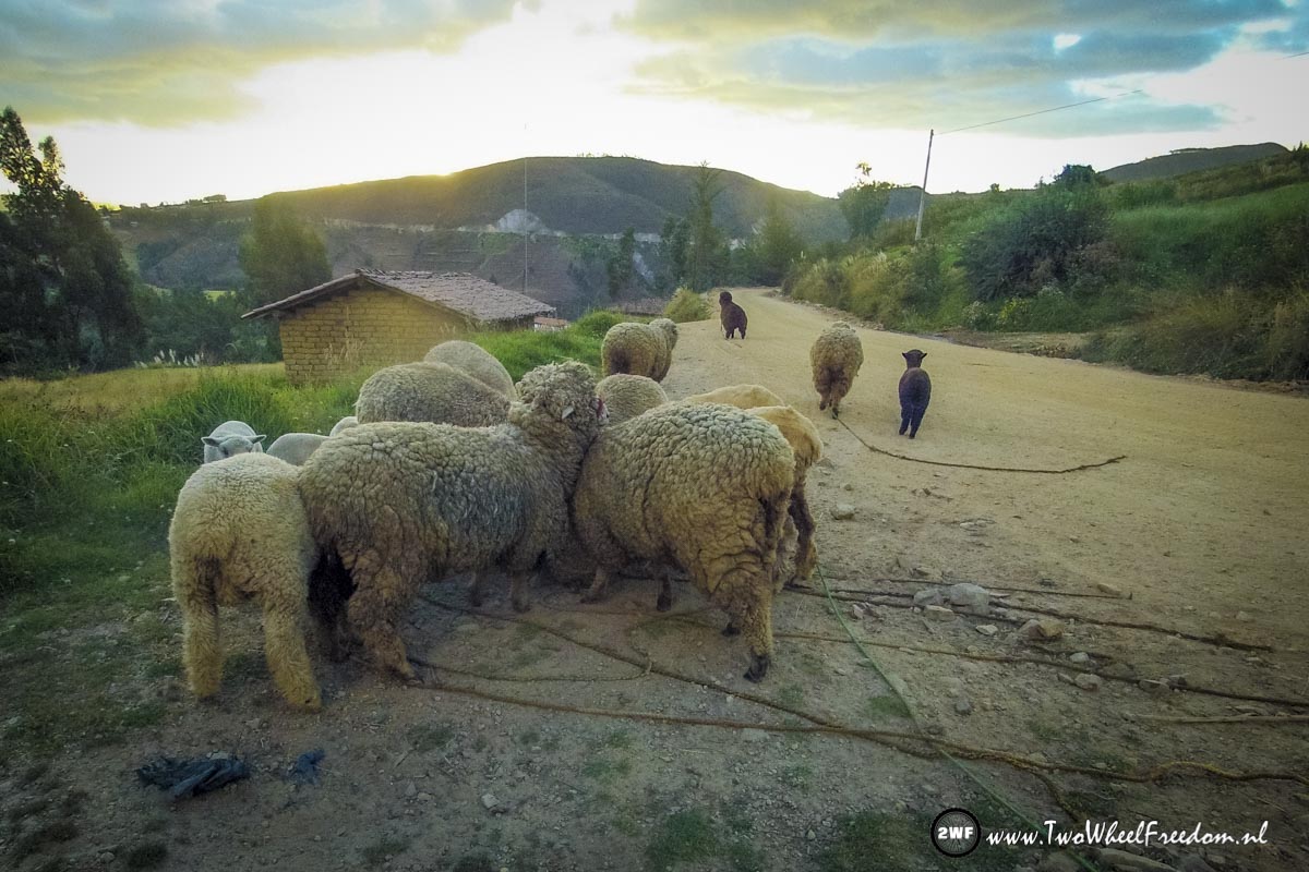
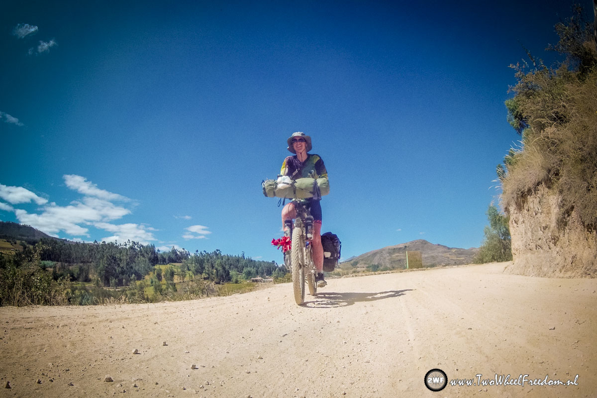
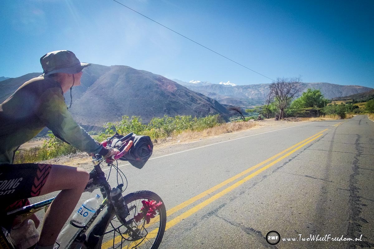
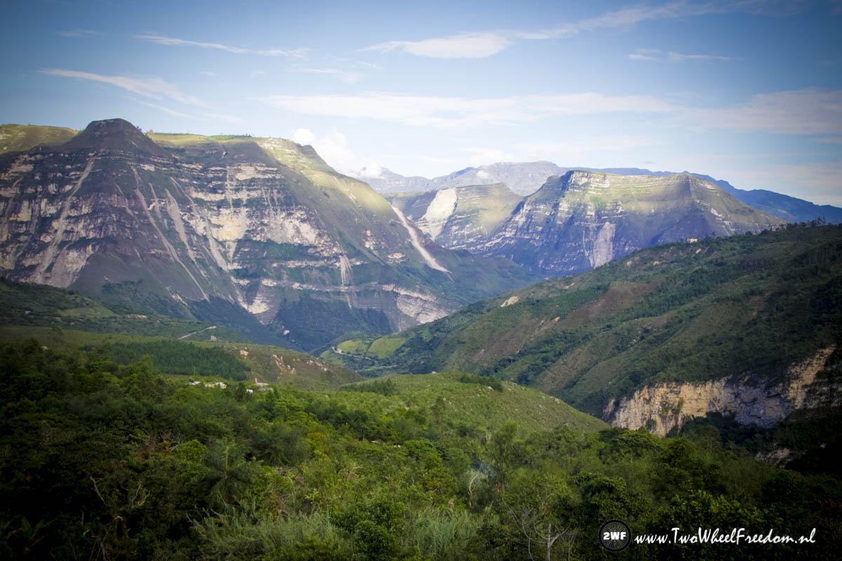
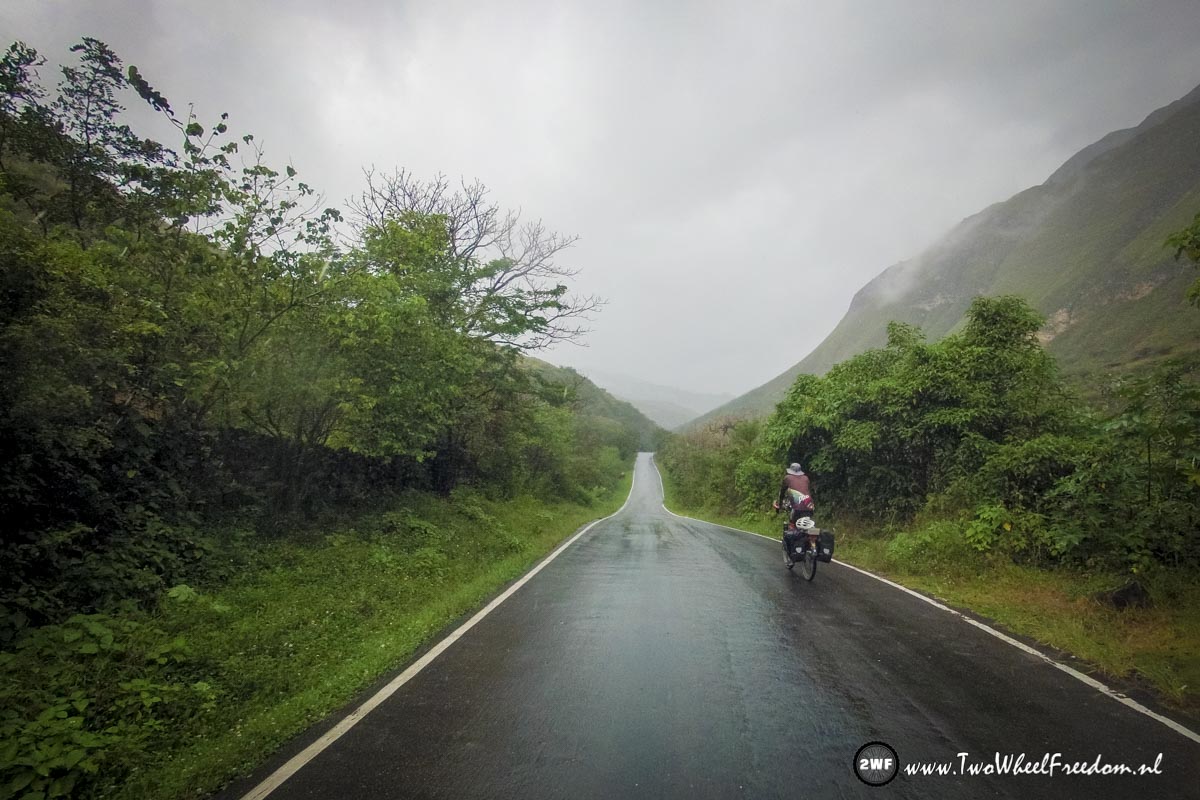
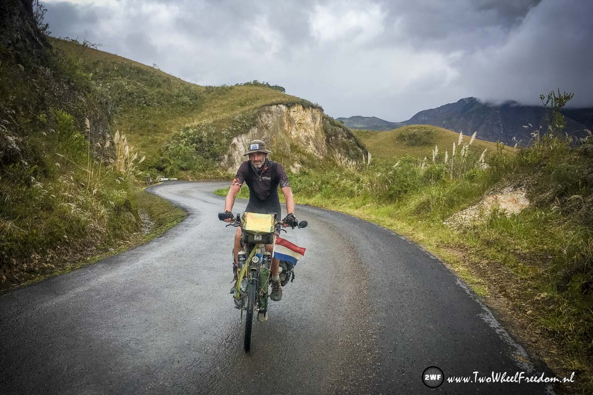
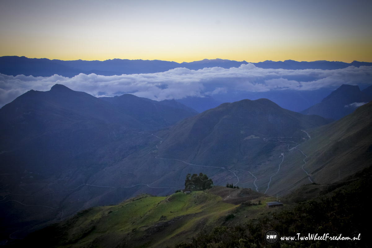
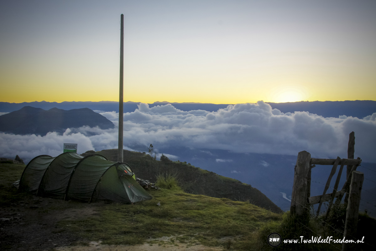
South we go…
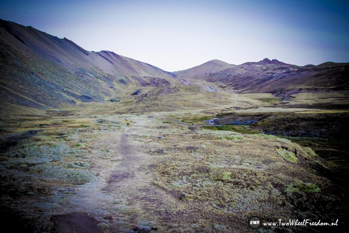
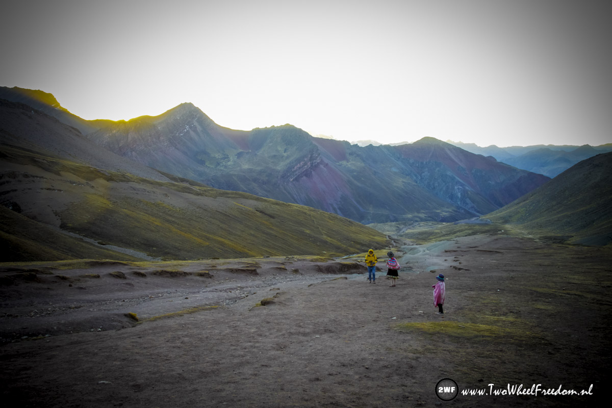
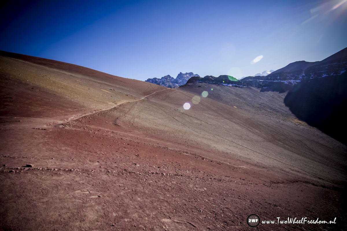
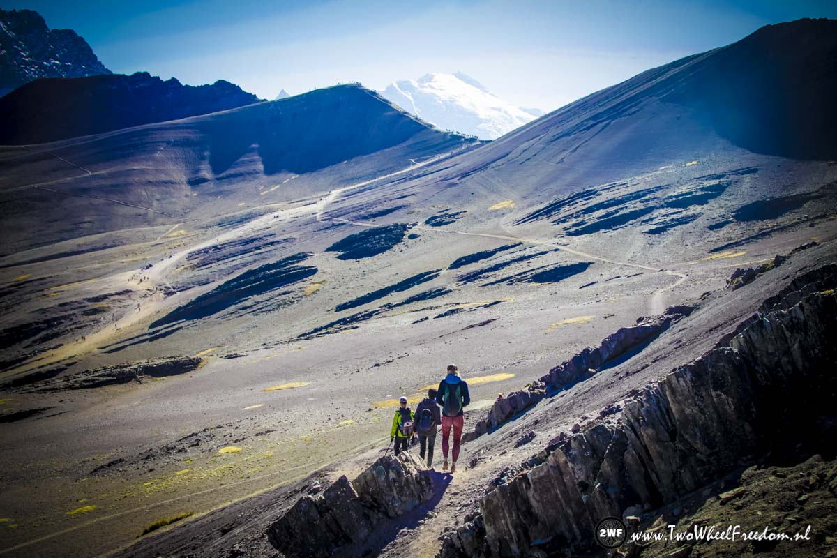
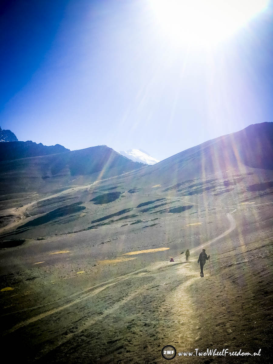
The beginning of the one hour hike to Rainbow Mountain. We started hiking at 6 in the morning to see the sunrise over Rainbow Mountain.
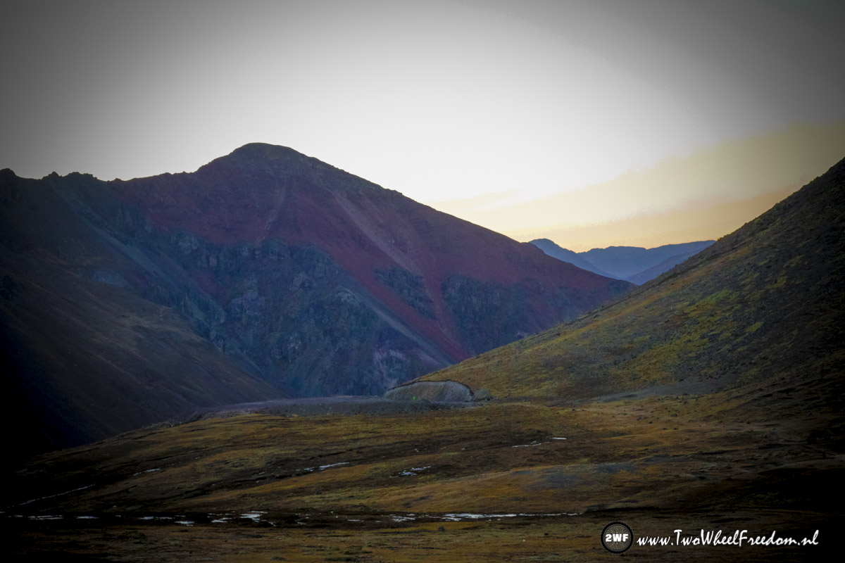
The sun is still behind the mountains.
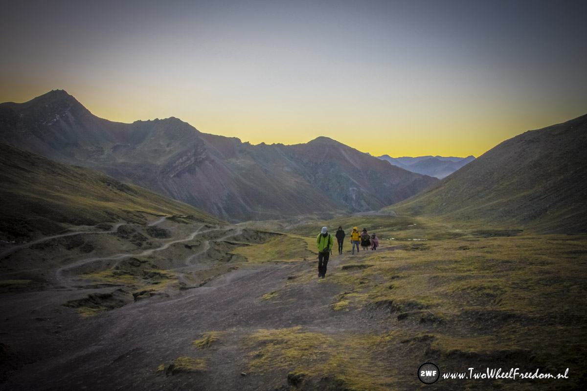
We are not the only onces going up this early in the morning.
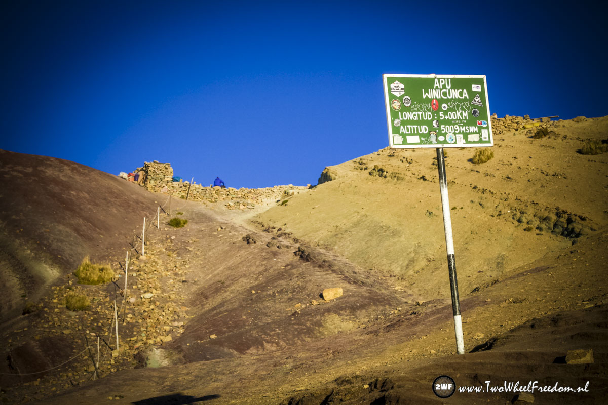
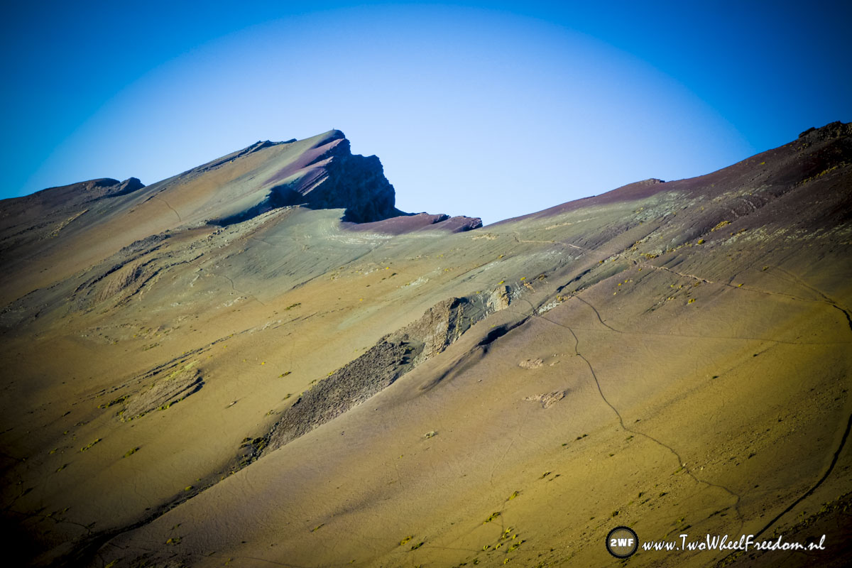
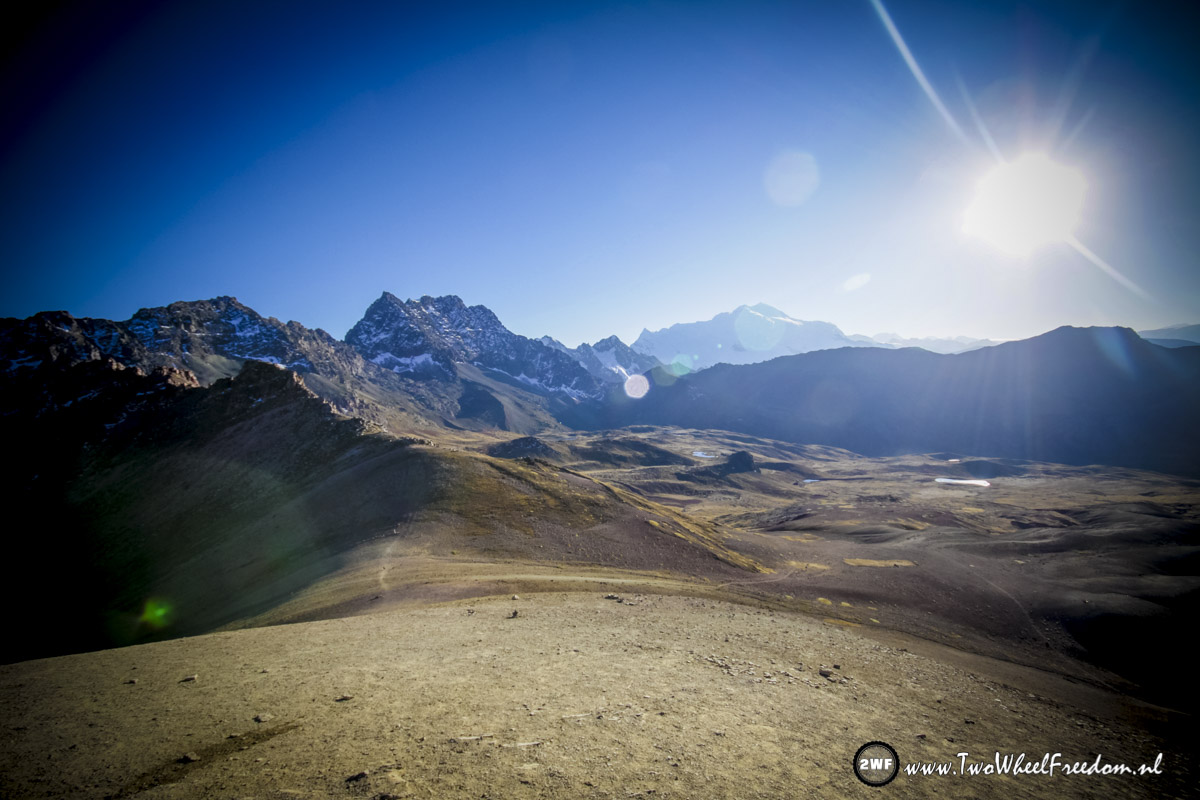
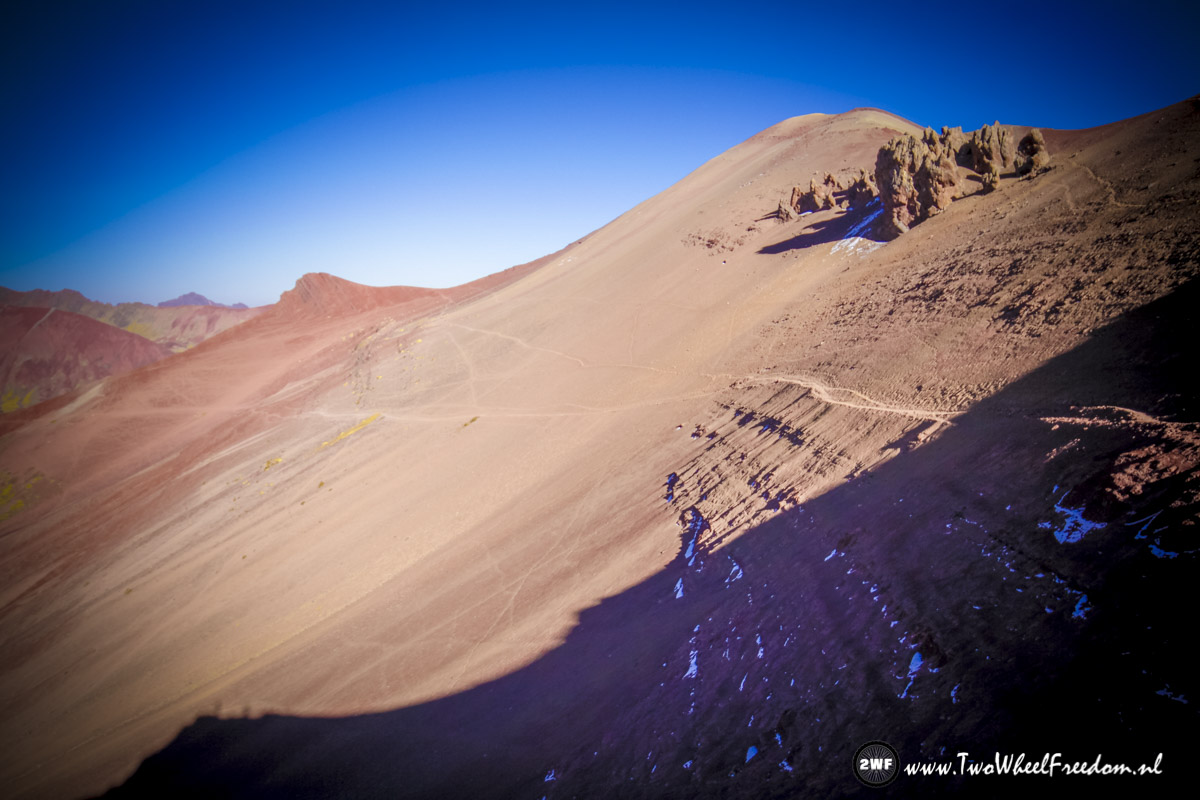
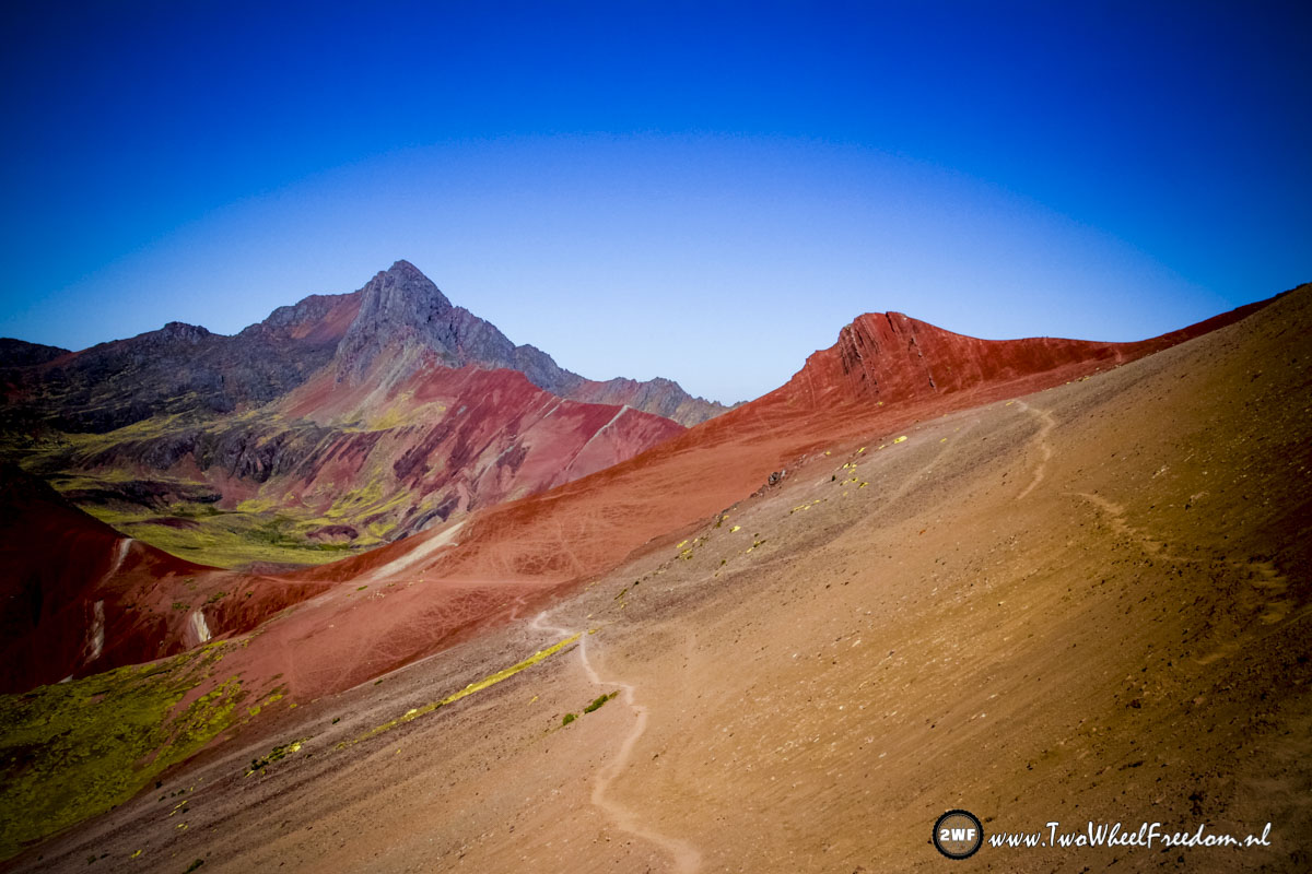
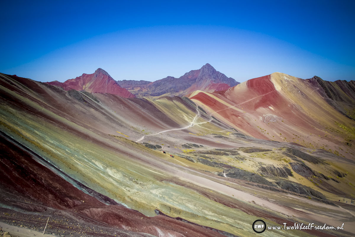
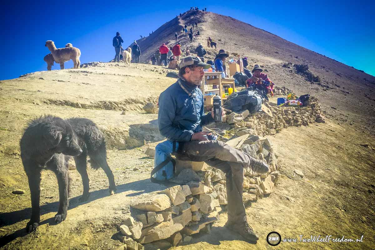
Nearly there at an altitude of more than 5000m.
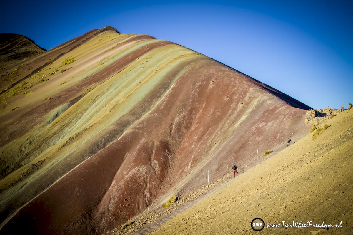
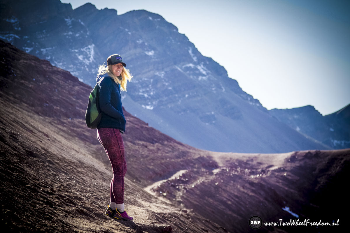
Kim hiking up to Rainbow Mountain.
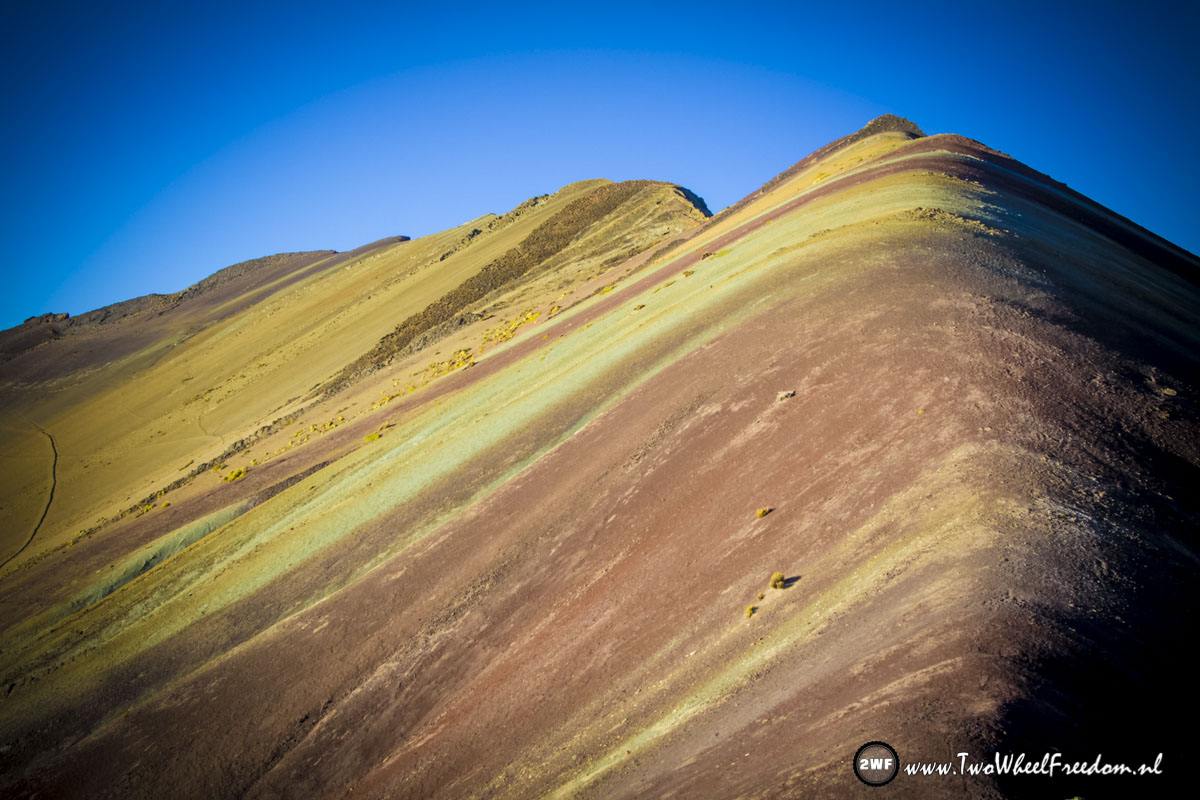
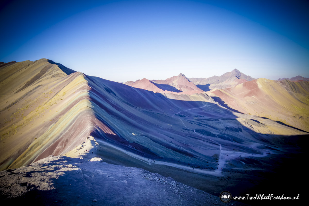
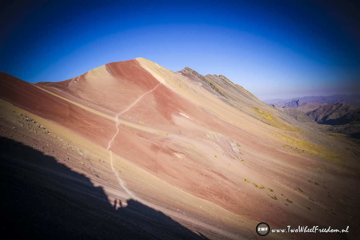
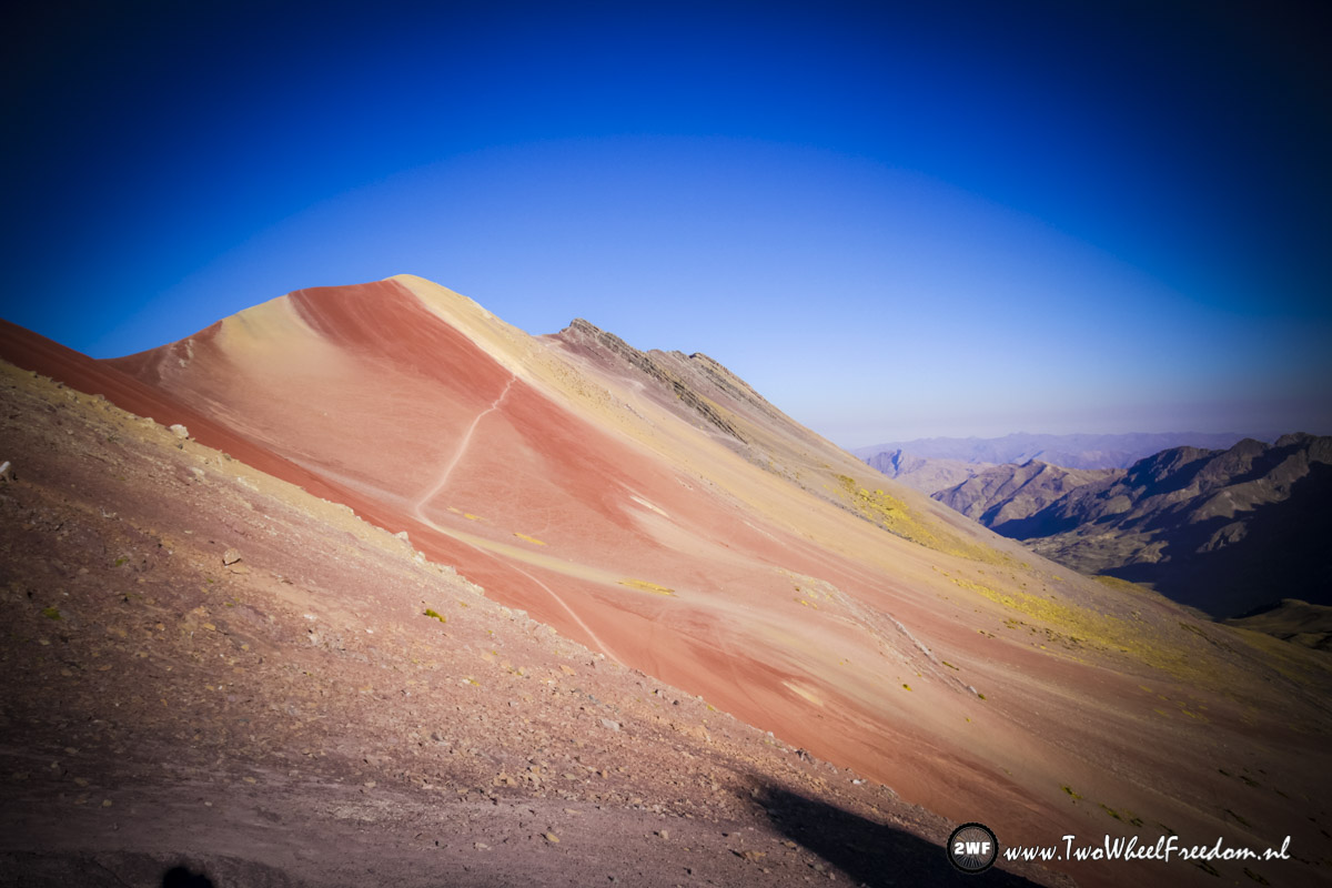
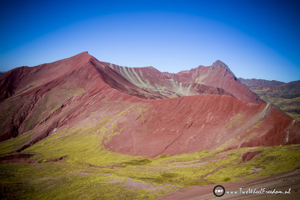
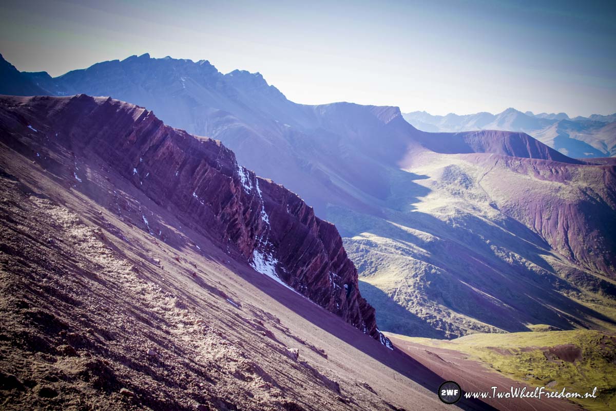
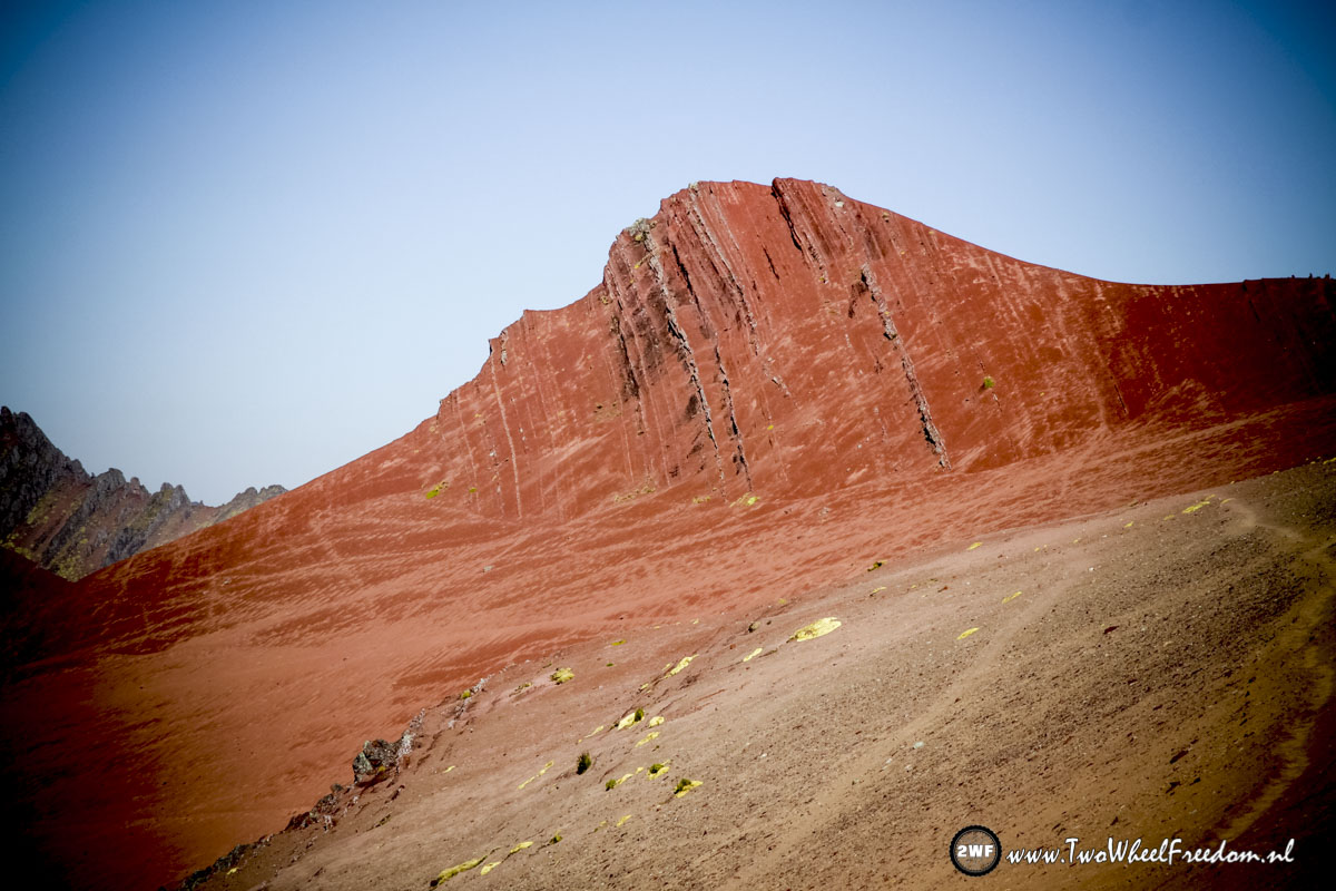
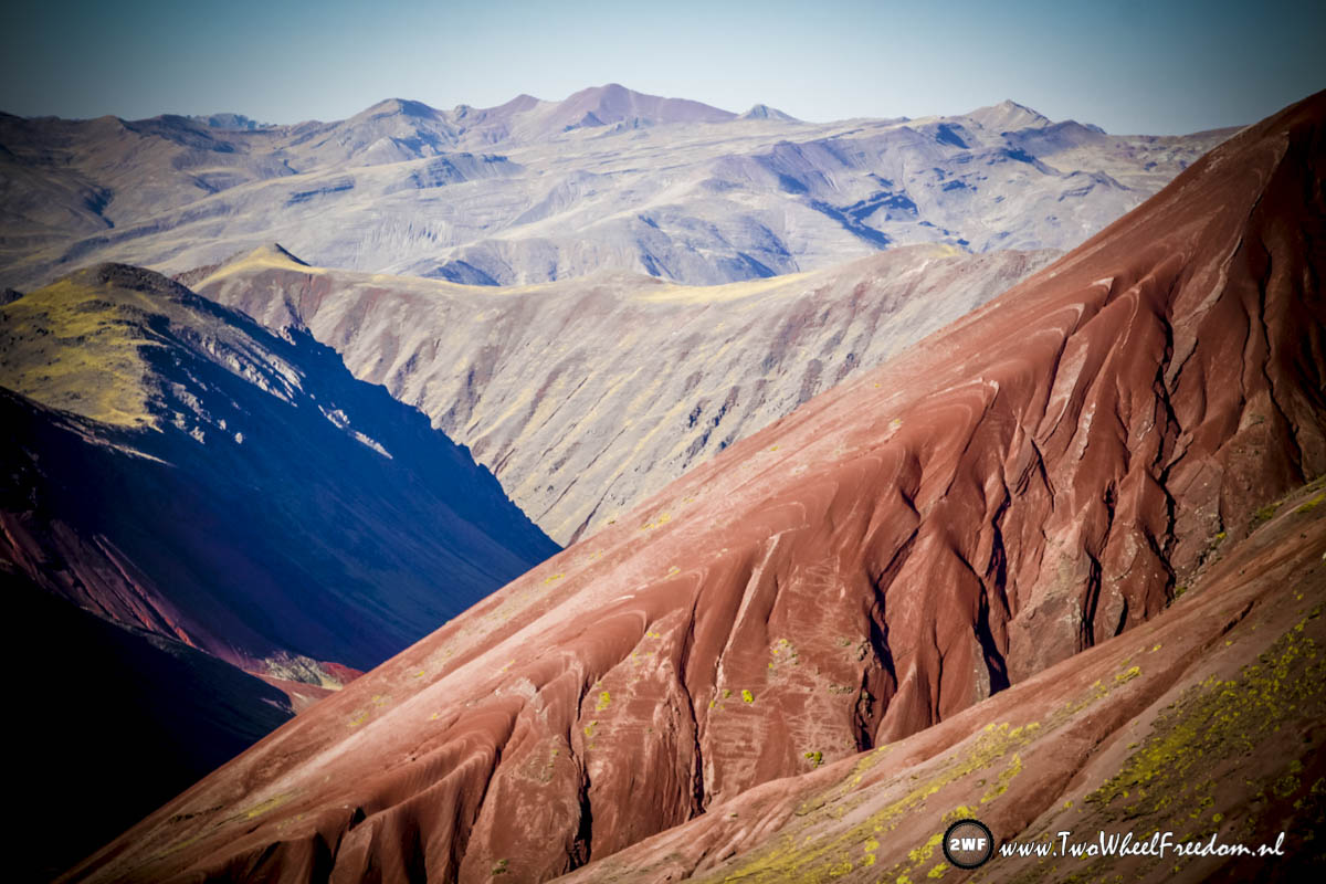
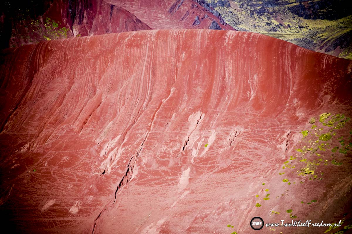
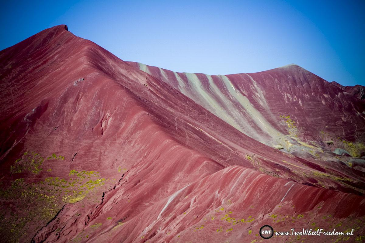
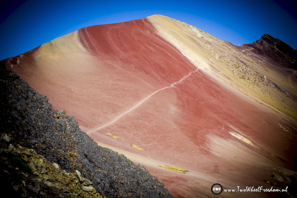
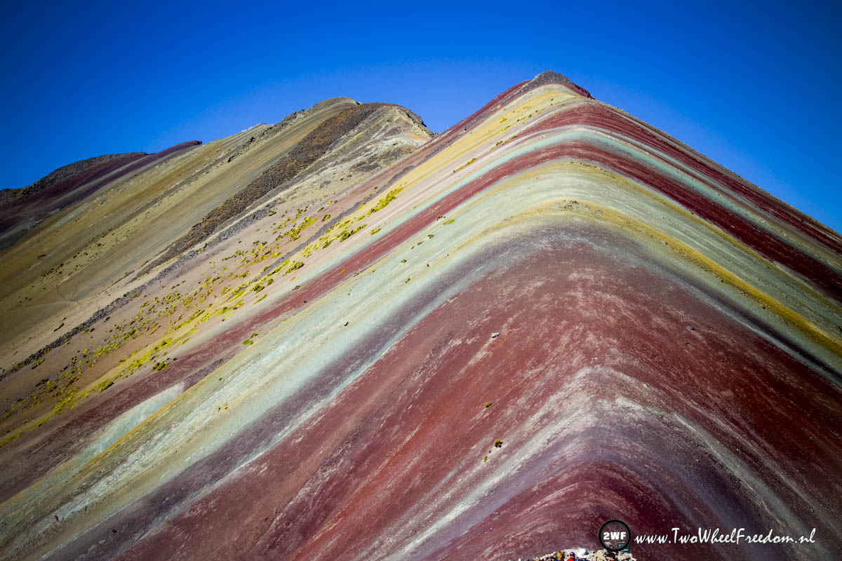
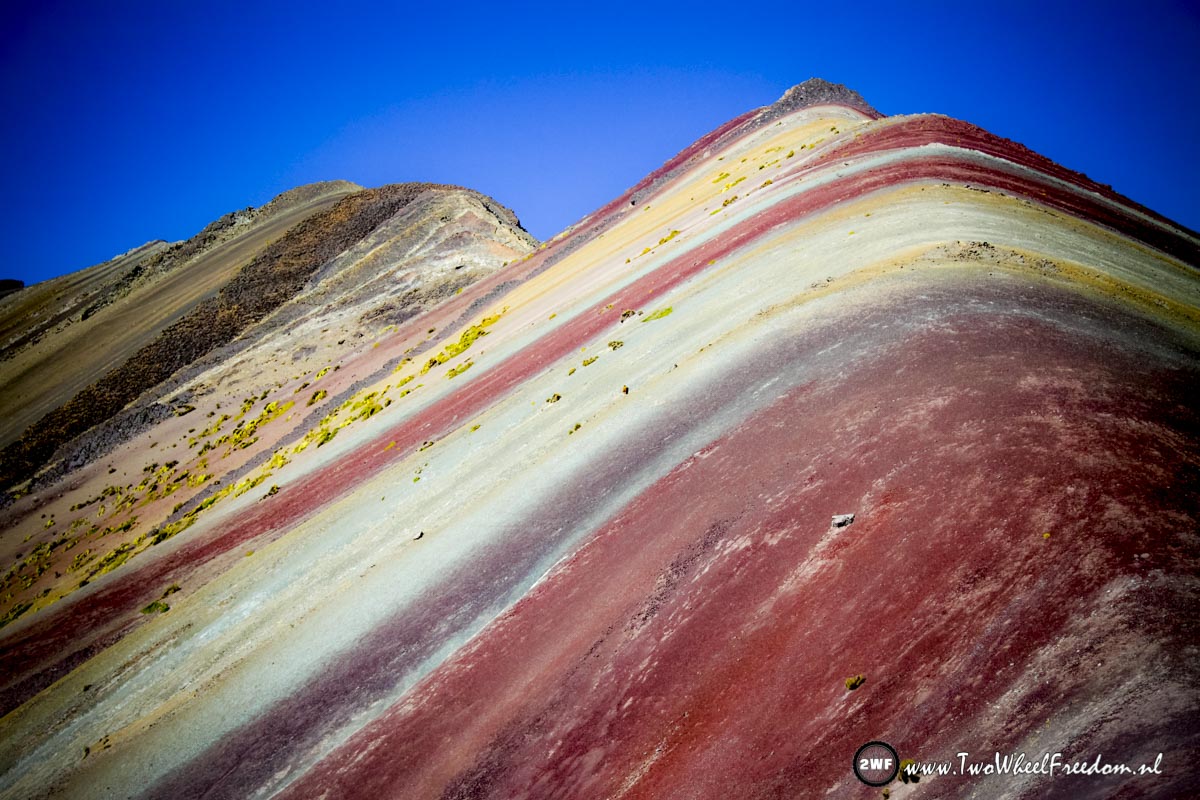
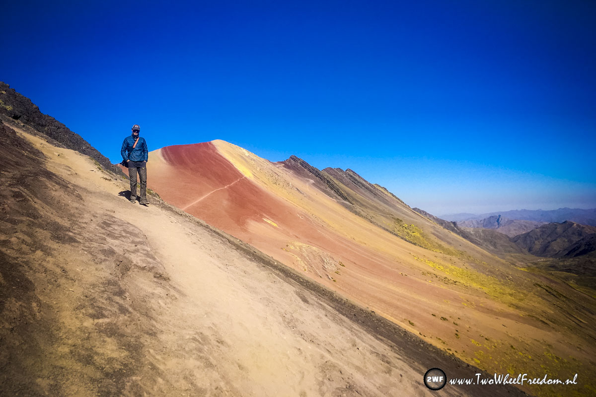
It’s not only Rainbow Mountain which is colourfull, the whole area is full of colours.
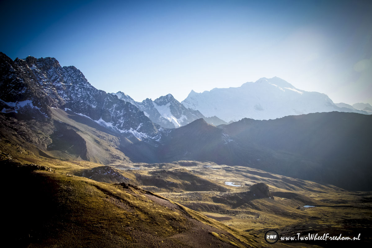
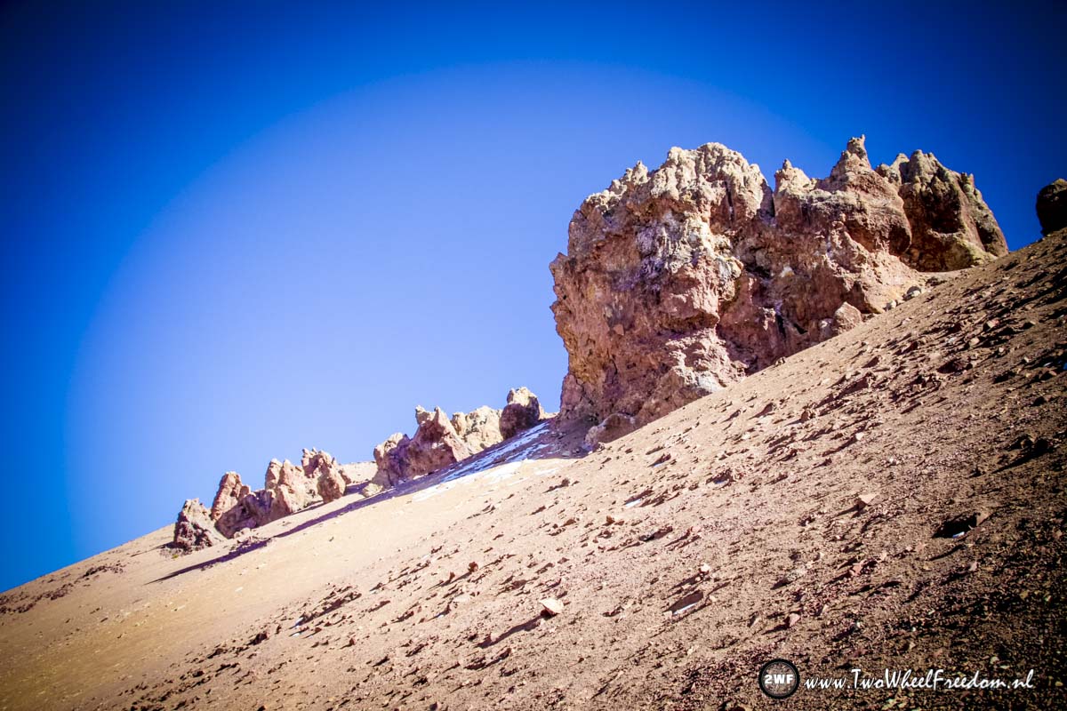
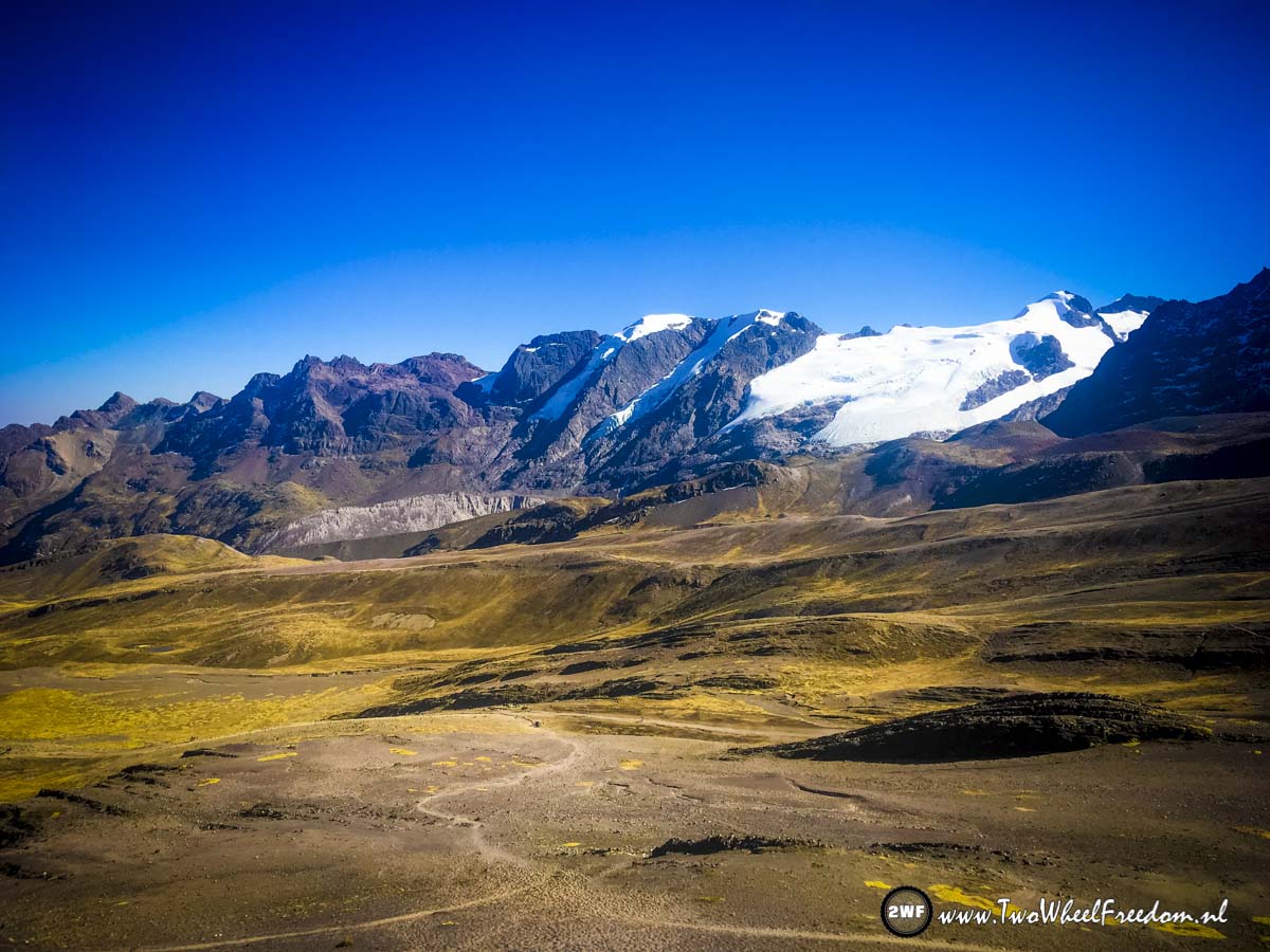
At 5000+ m you can expect to see snow.
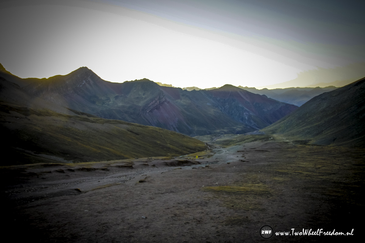
The sun is still rising, the valley behind Rainbow Mountain still in the shadow.
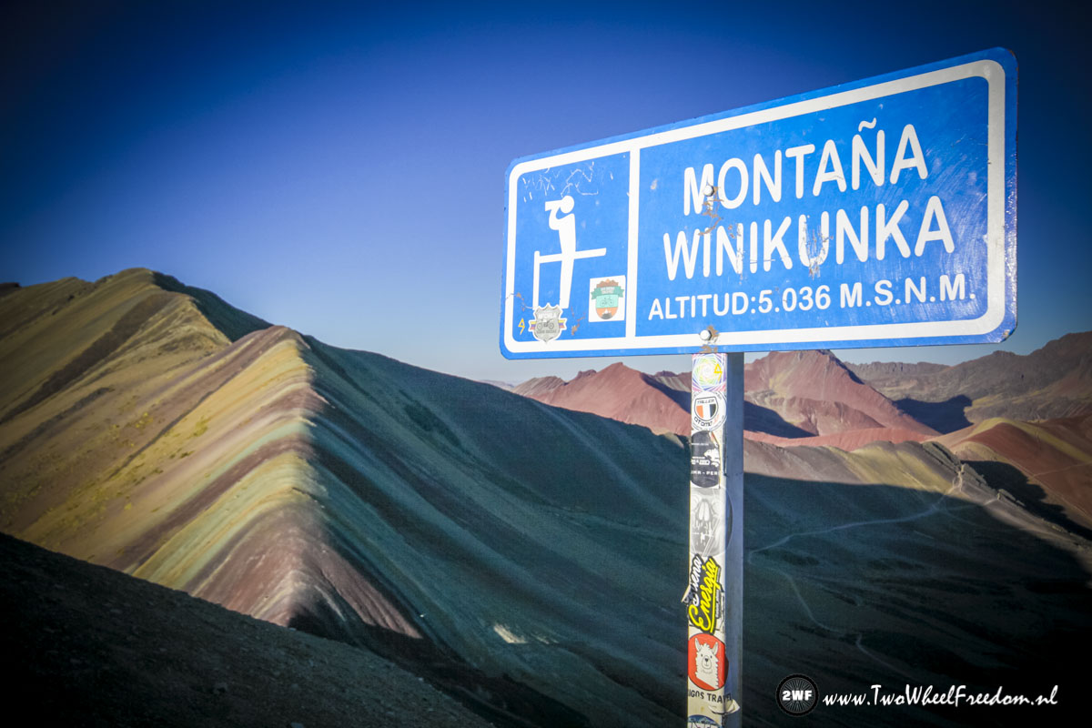
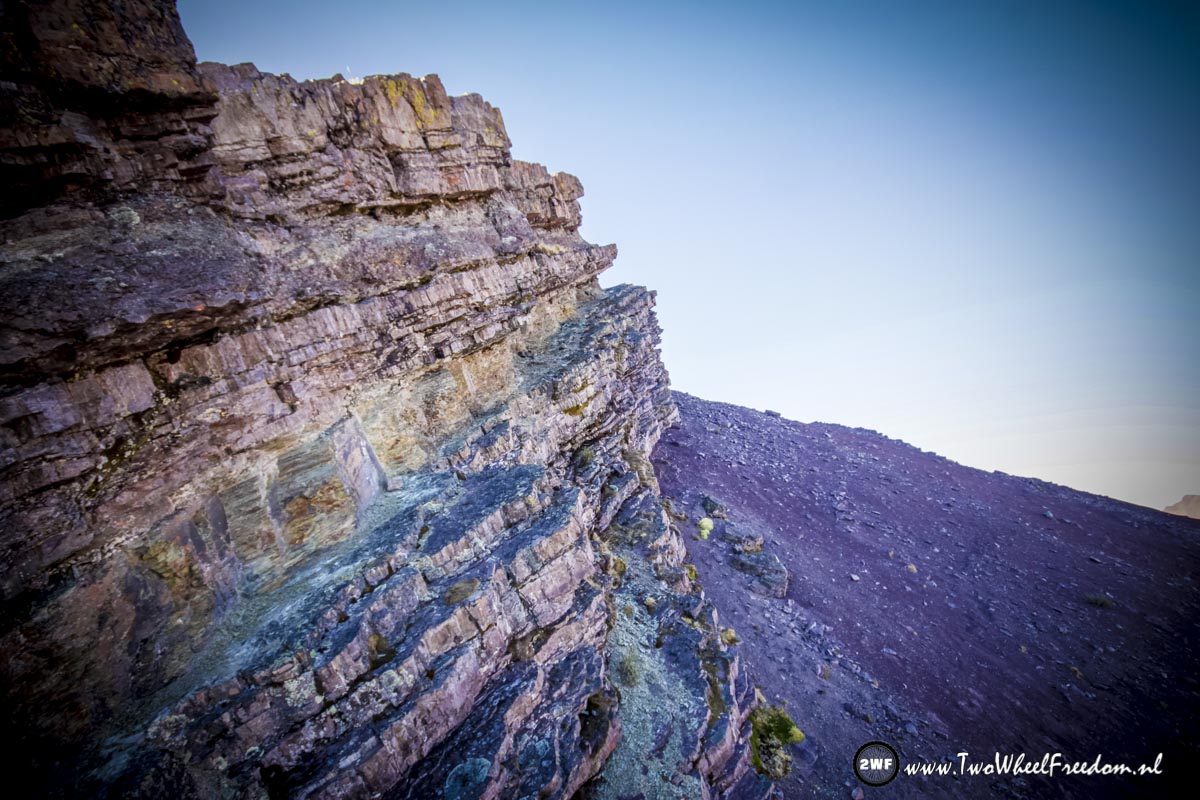
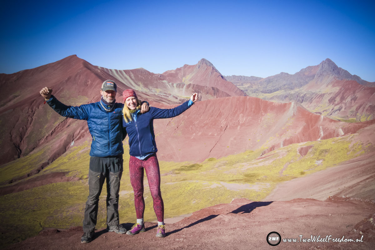
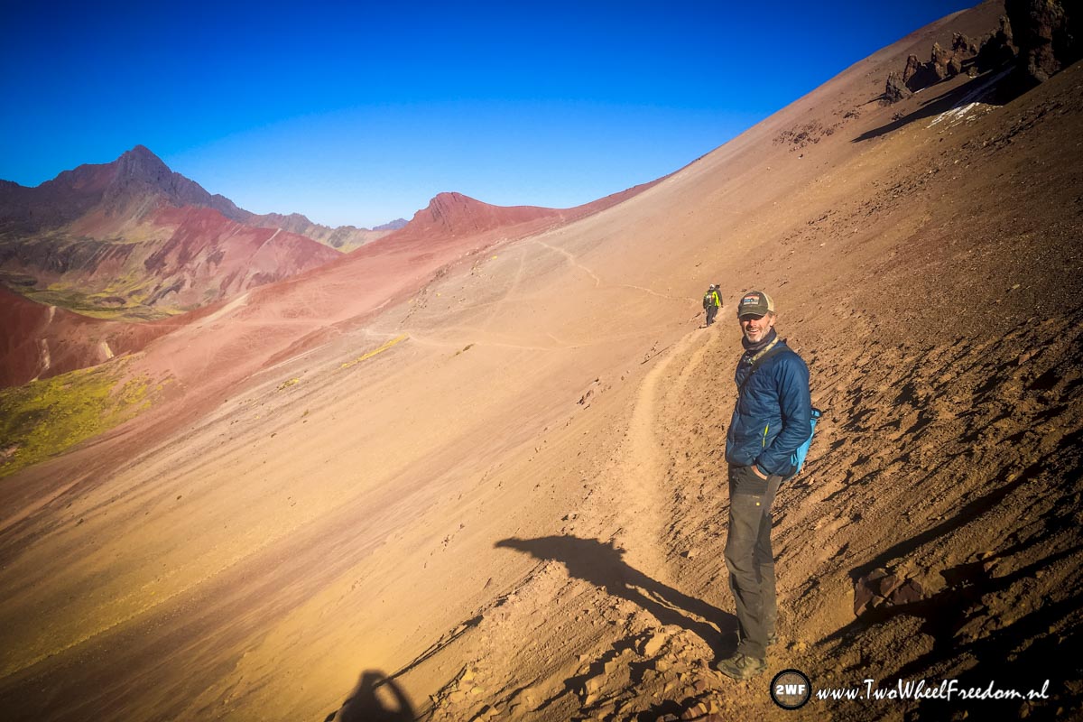
Lookout point at 5036m above sea-level.
With our own shadows.
Colours, colours, colours.


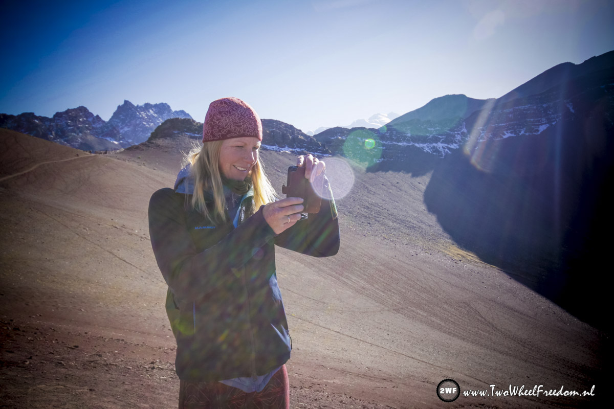
Many pictures made.

Selfie


And another doggy…

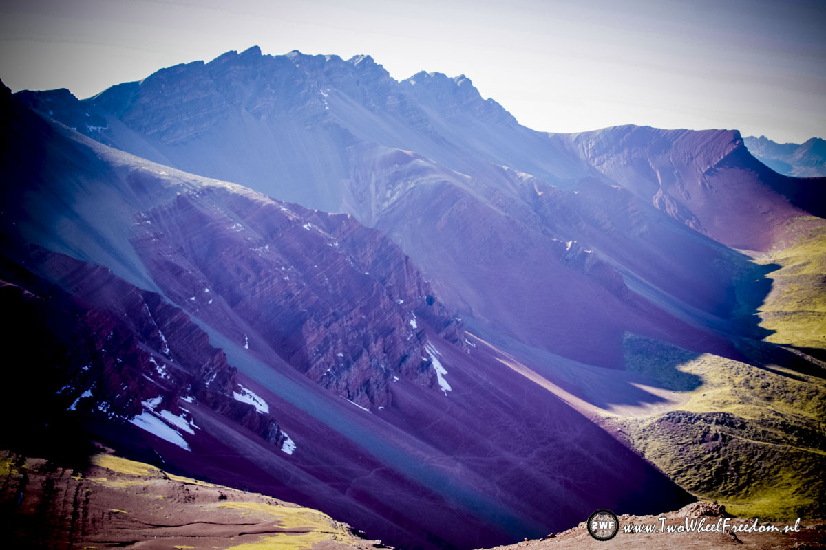
Purple and blue??

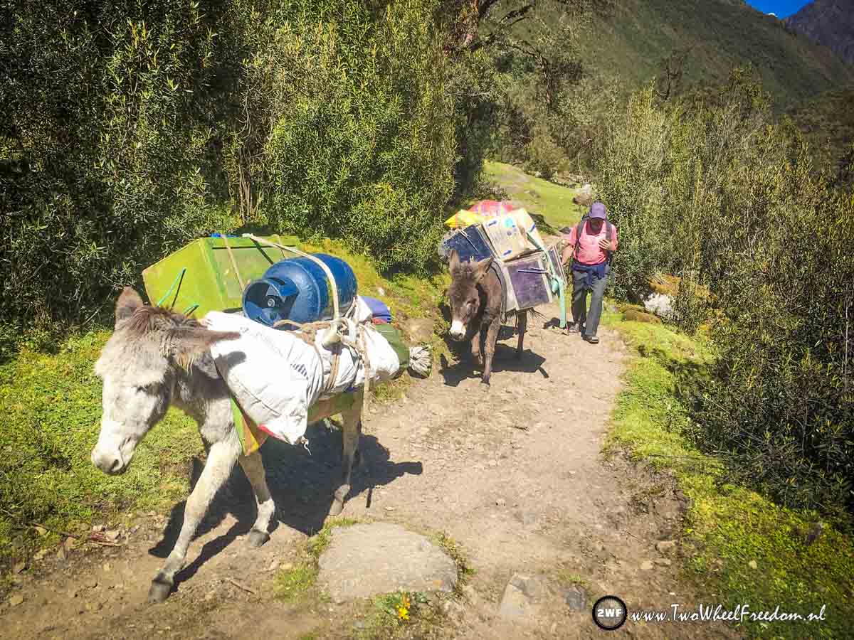
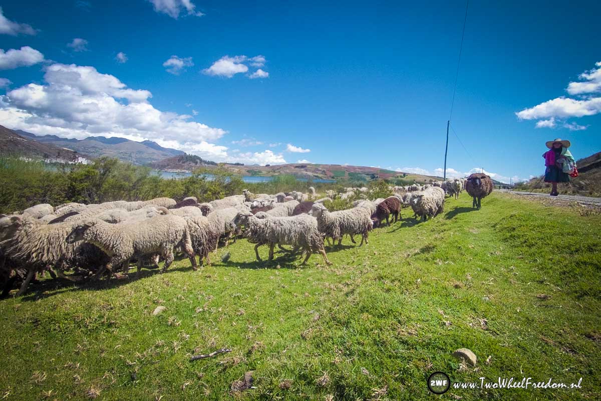
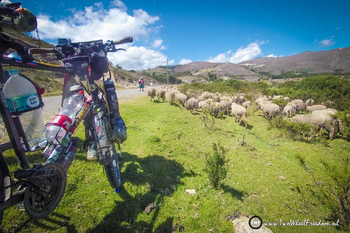
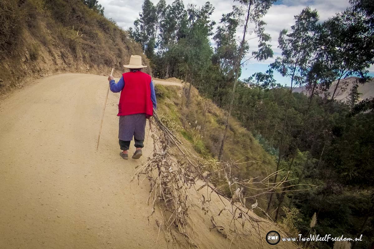
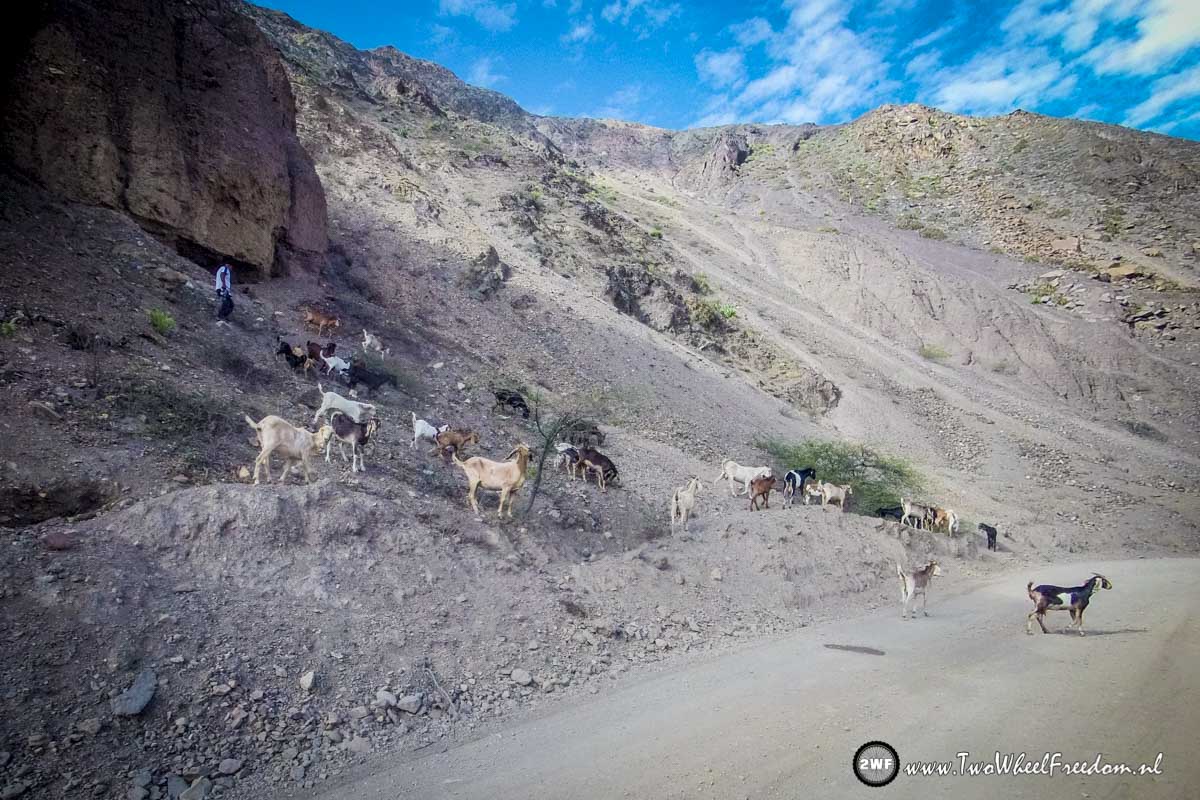
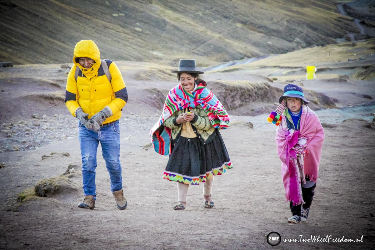
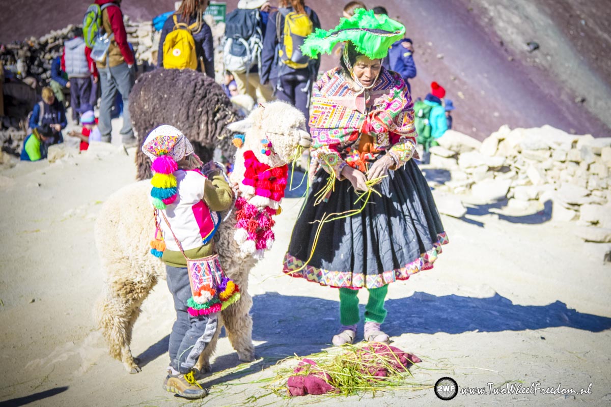
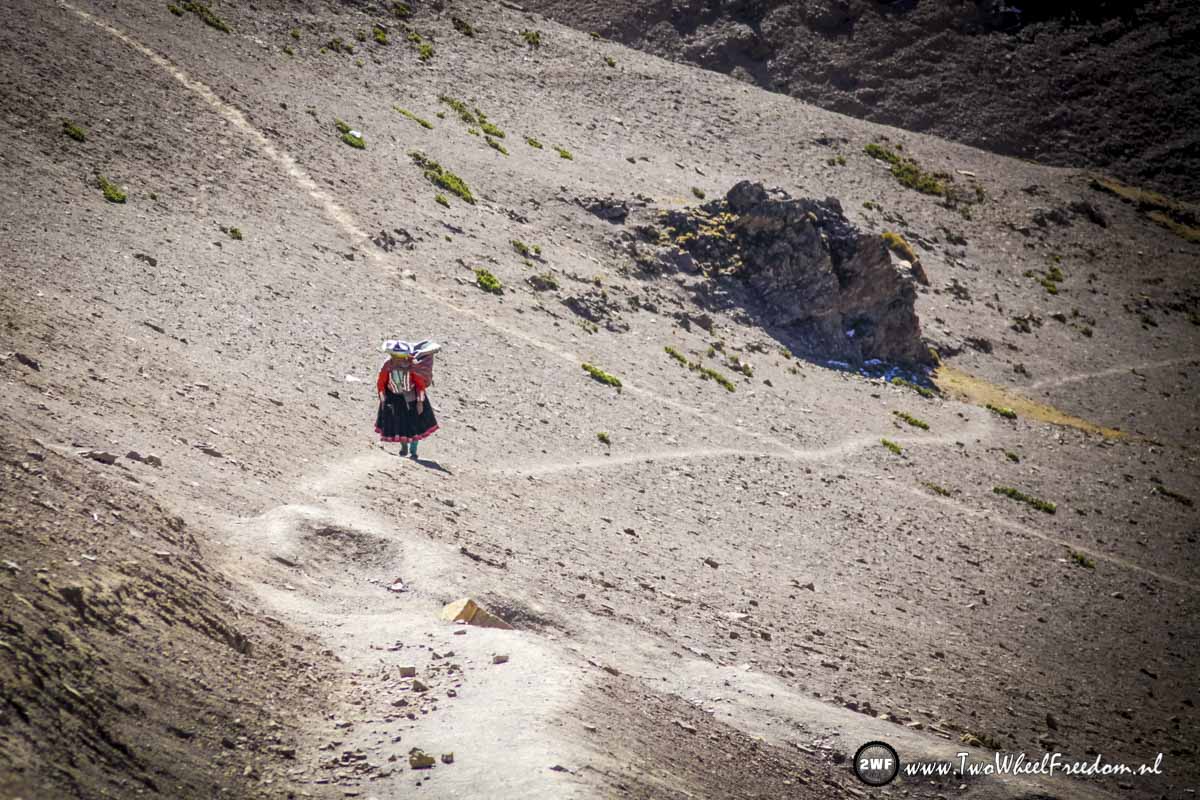
Locals on the track. They still carry their stuff on horses and donkeys,

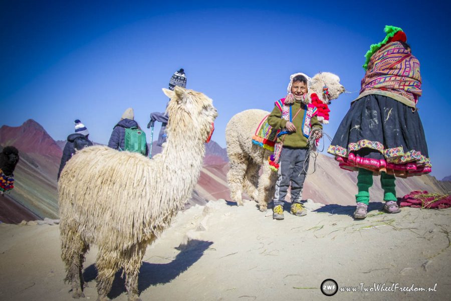
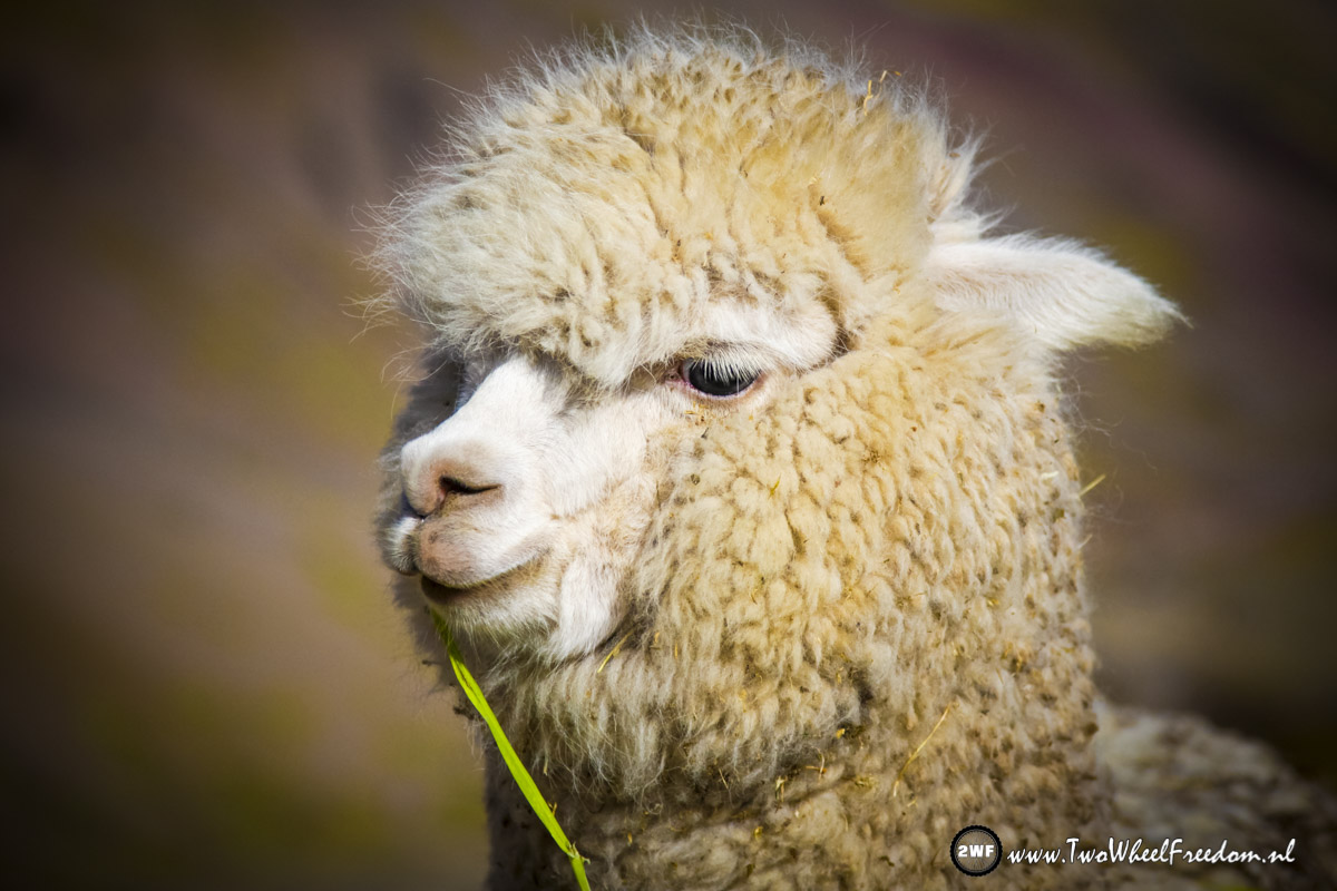
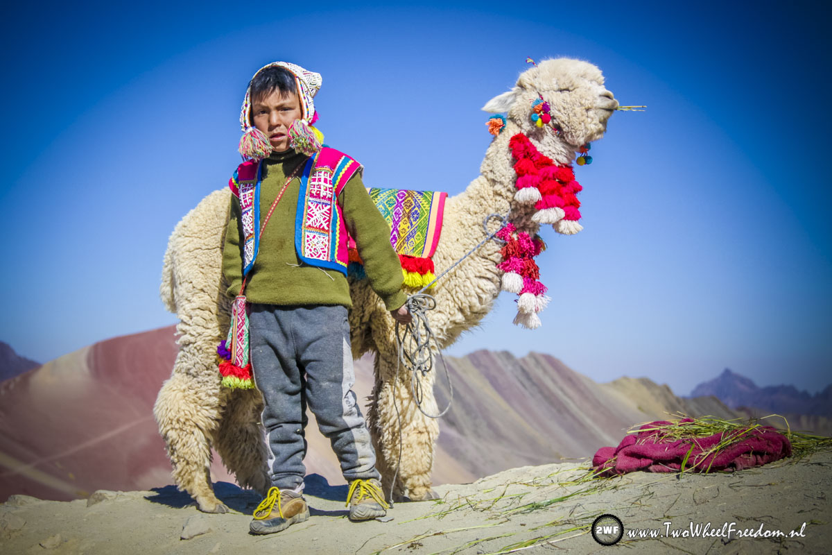
And of course lama’s again all over the place.
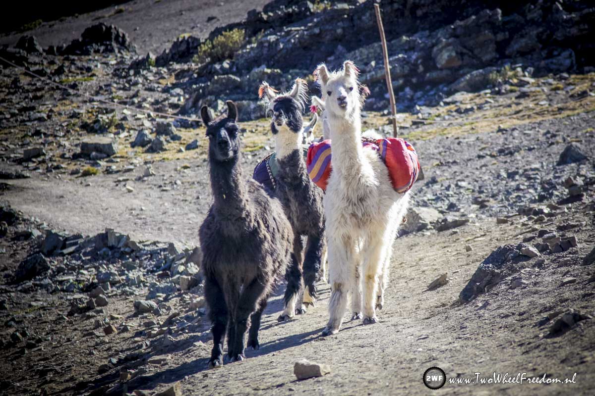
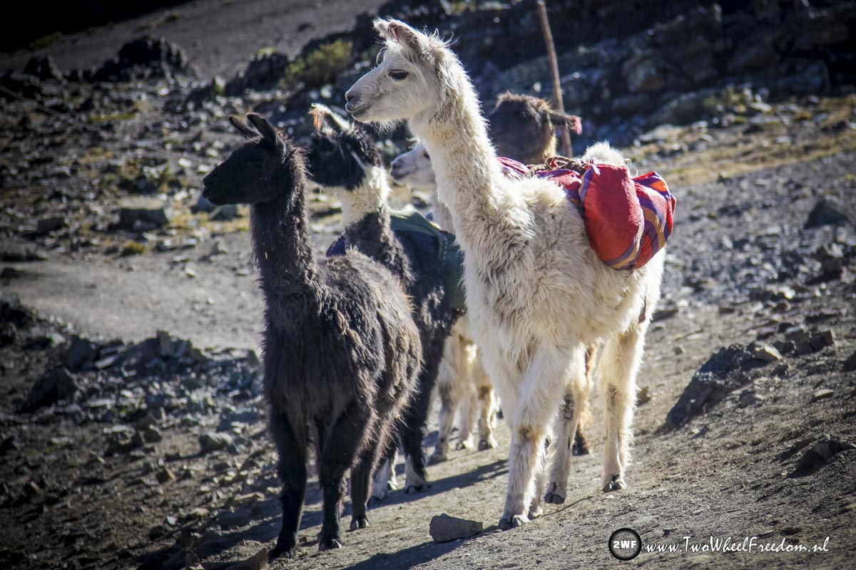
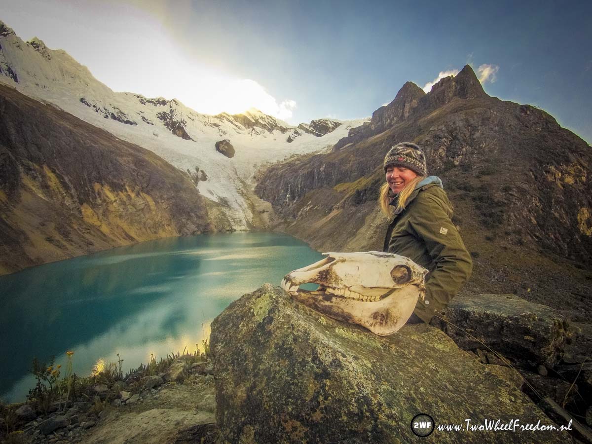
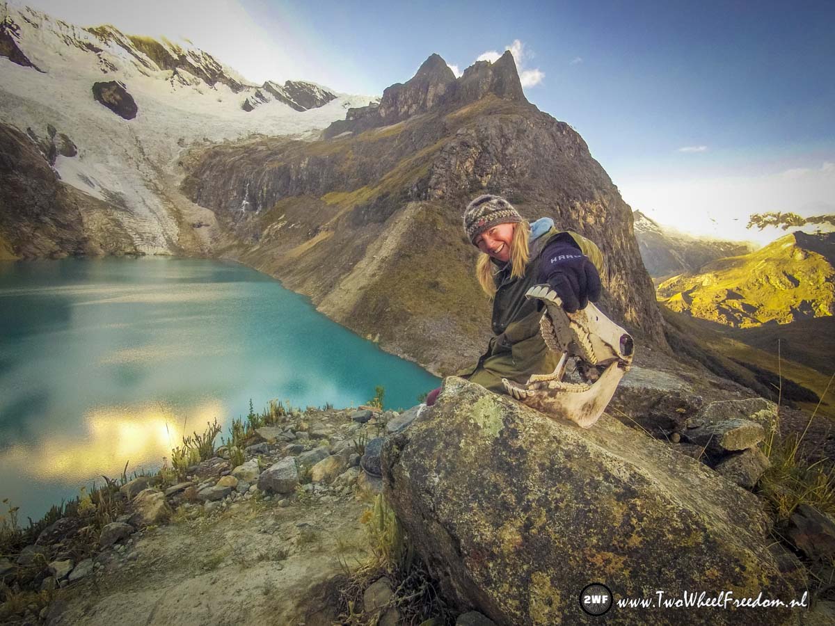
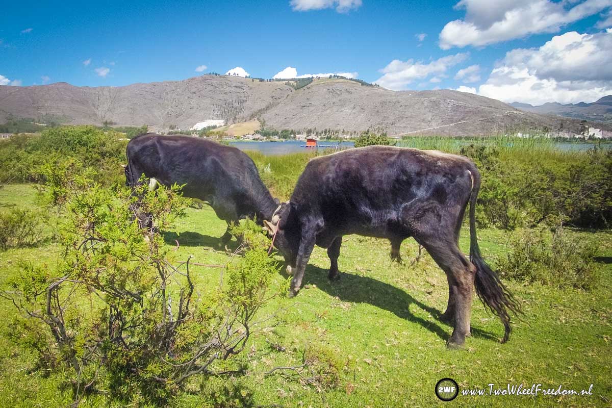
Beautifull animals.

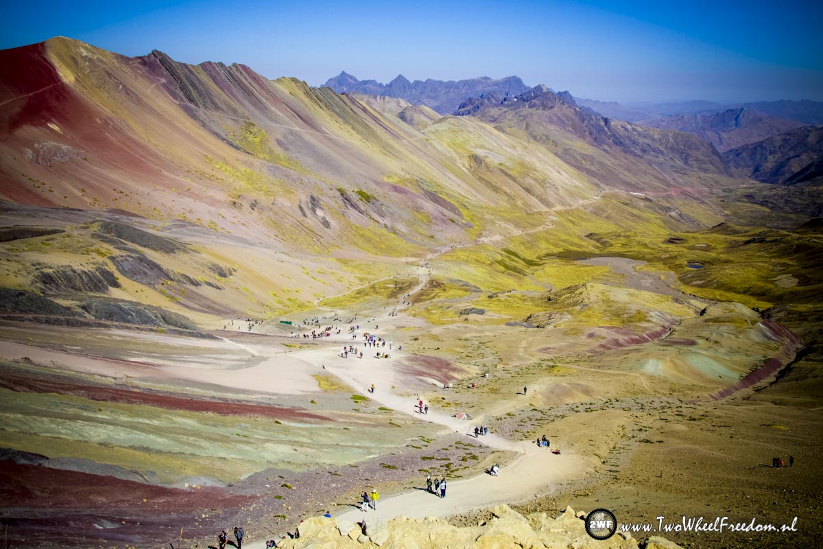
The later it gets, the more tourists show up.


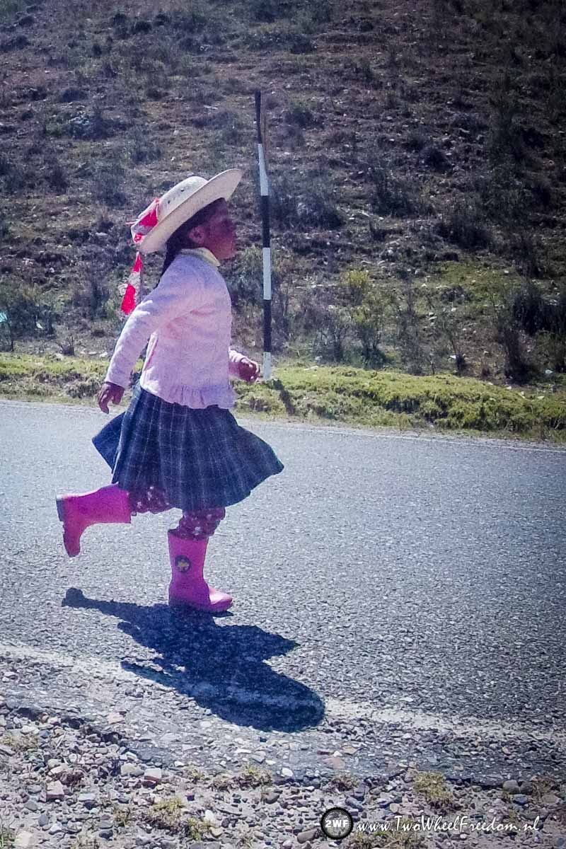
The boy is making fun.
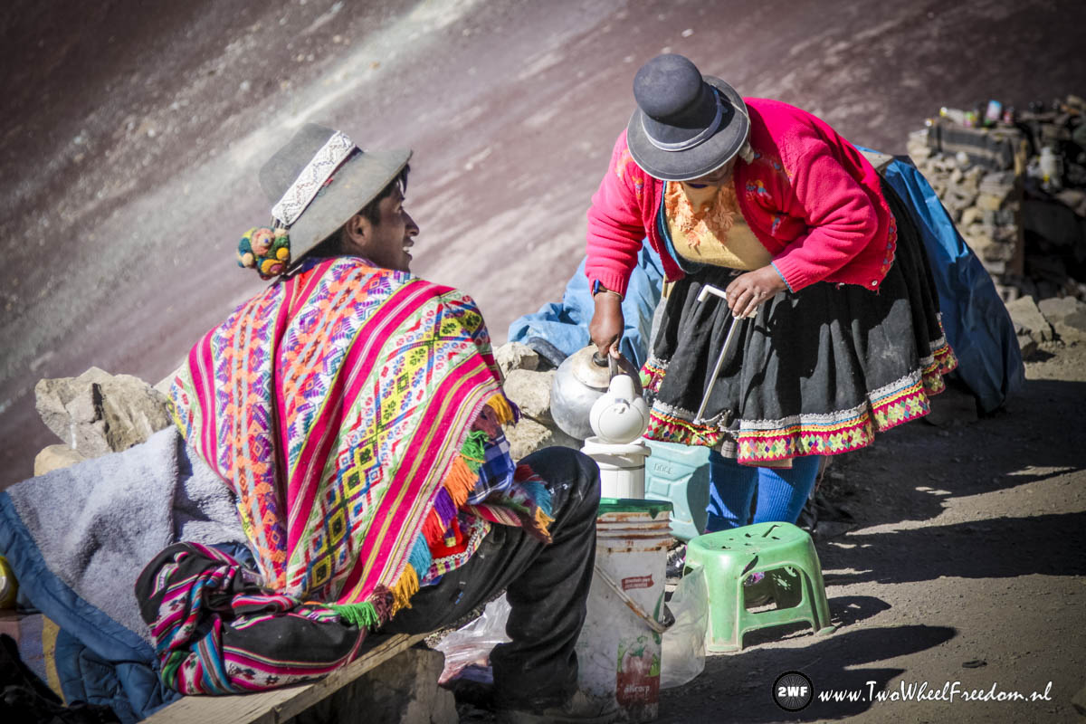
Hot tea??
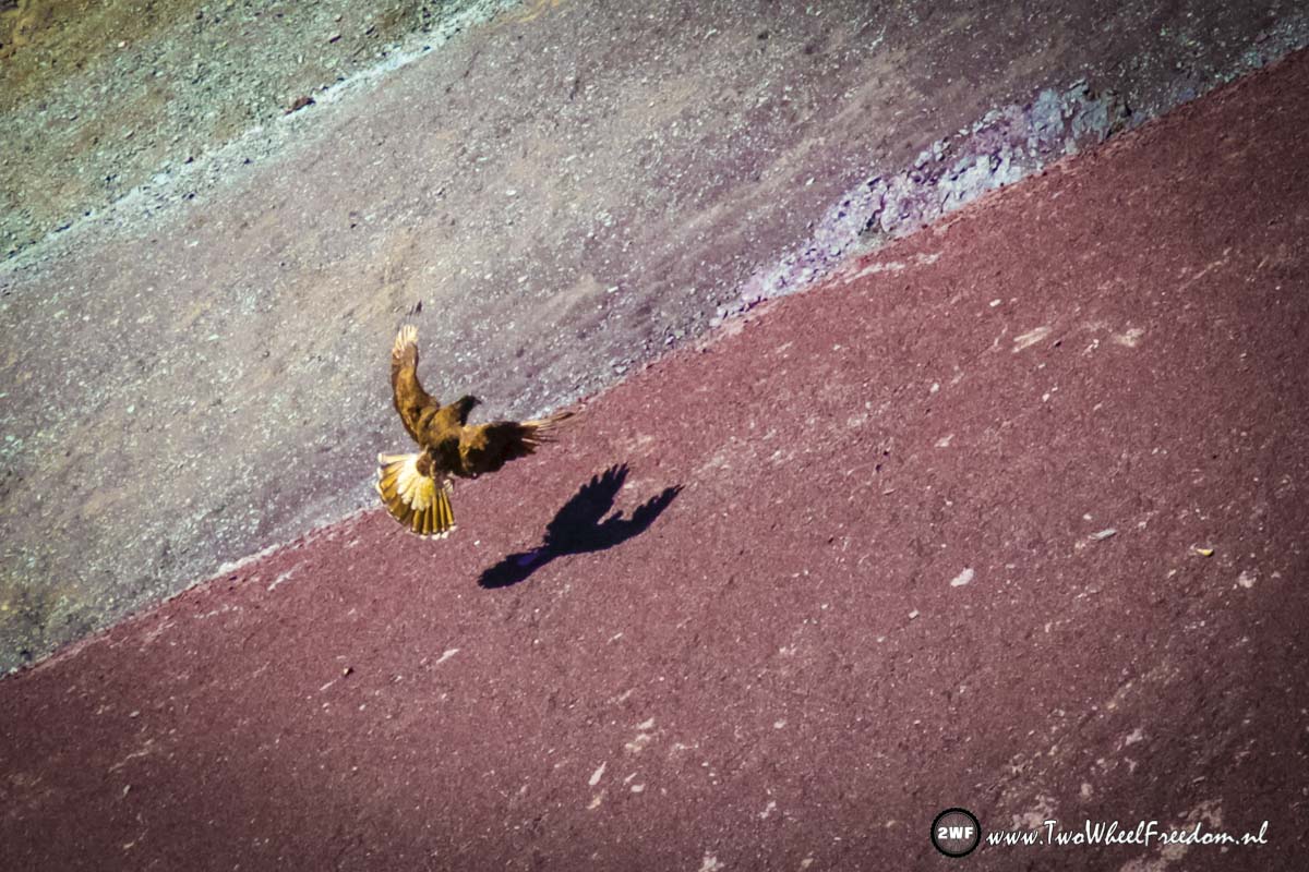
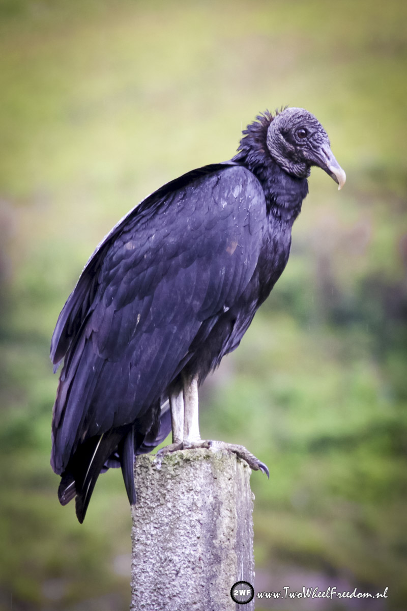
No idea which bird this is but it’s not a small one.

We start hiking back to where we came from.
Breakfast with a view. (and another dog)
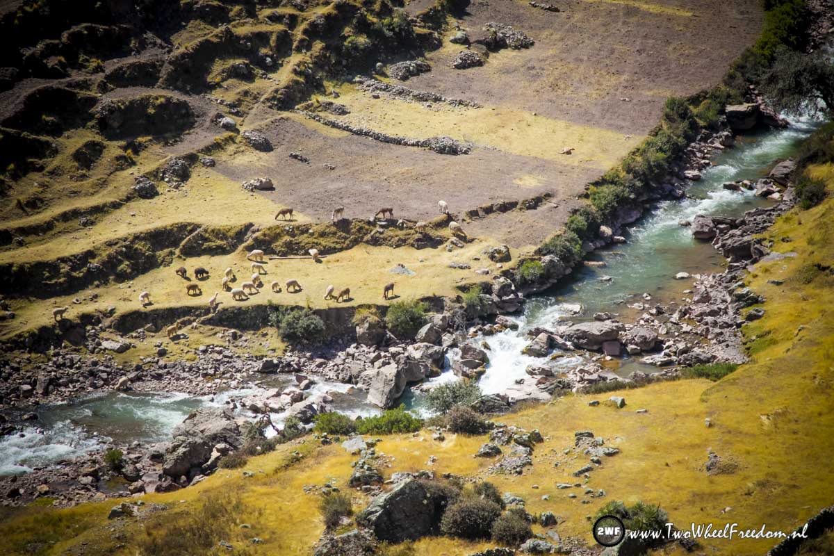
Lama’s in the deep valley.
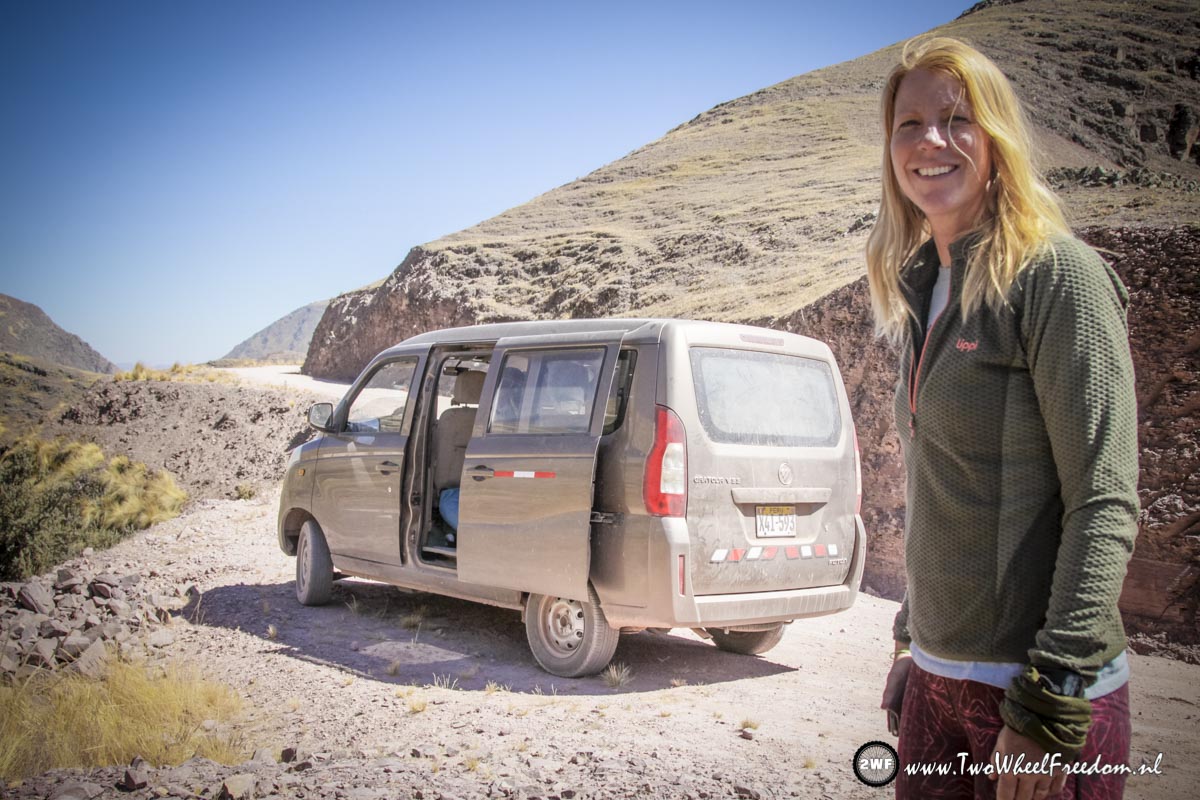
The small van which brings us back to our hostel.
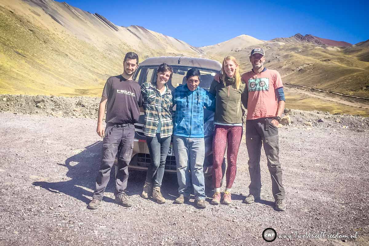
Our group of today, two from Spain and with the driver, Samual, in the middle.
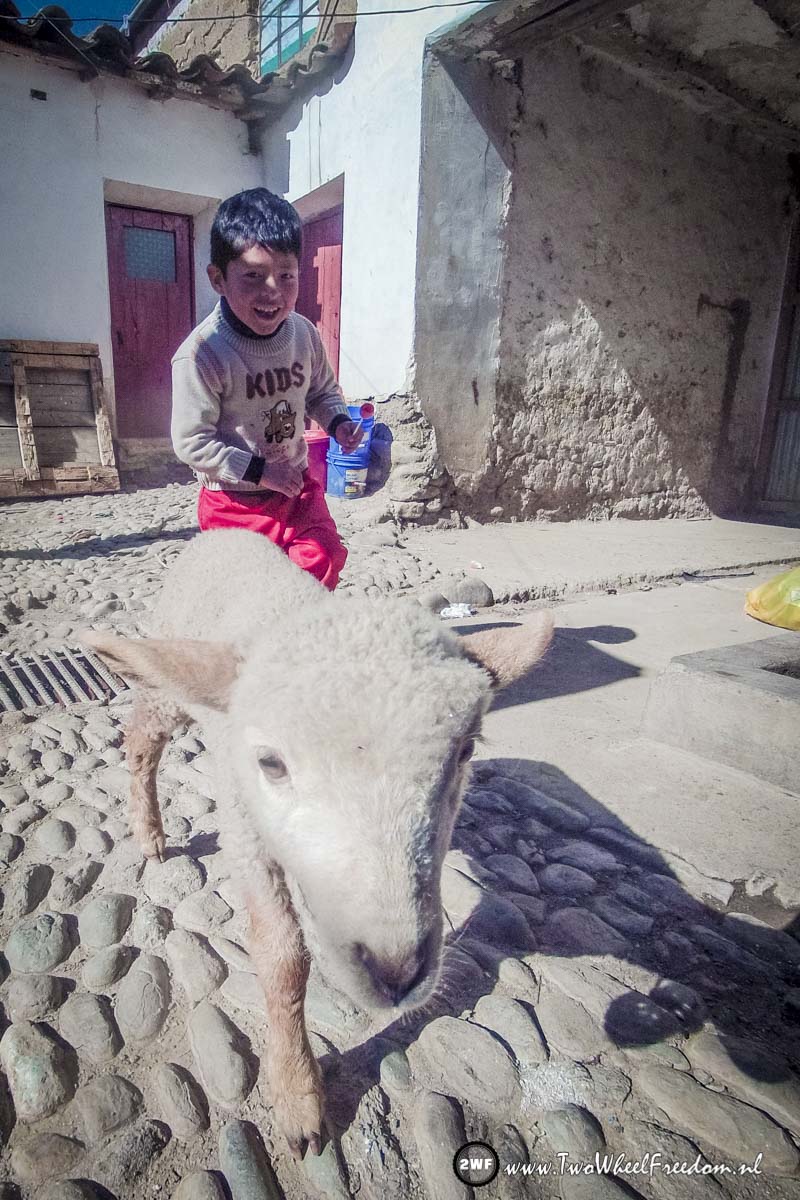
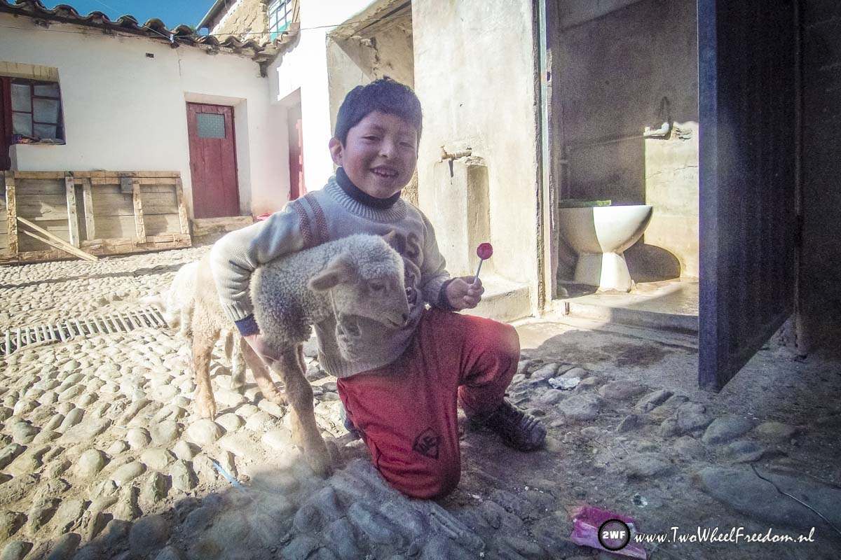
At our hostel, newborn cheep.


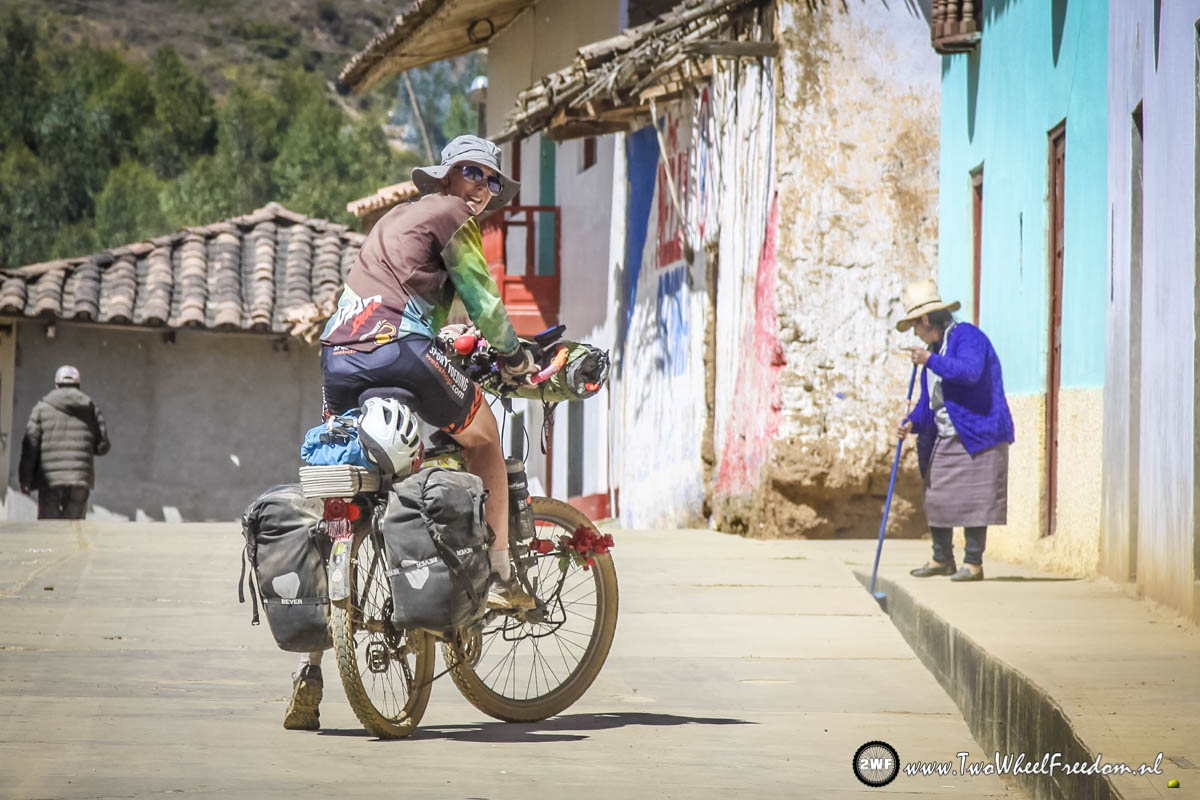
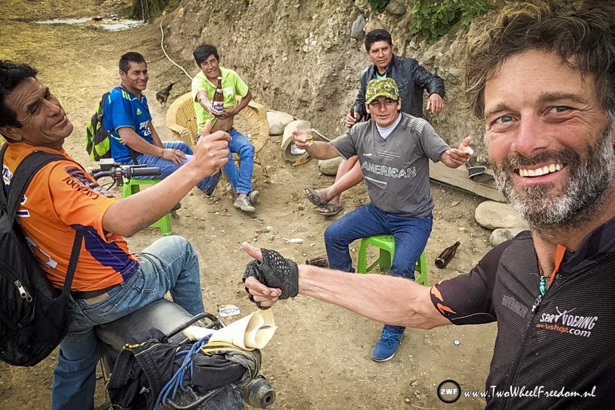
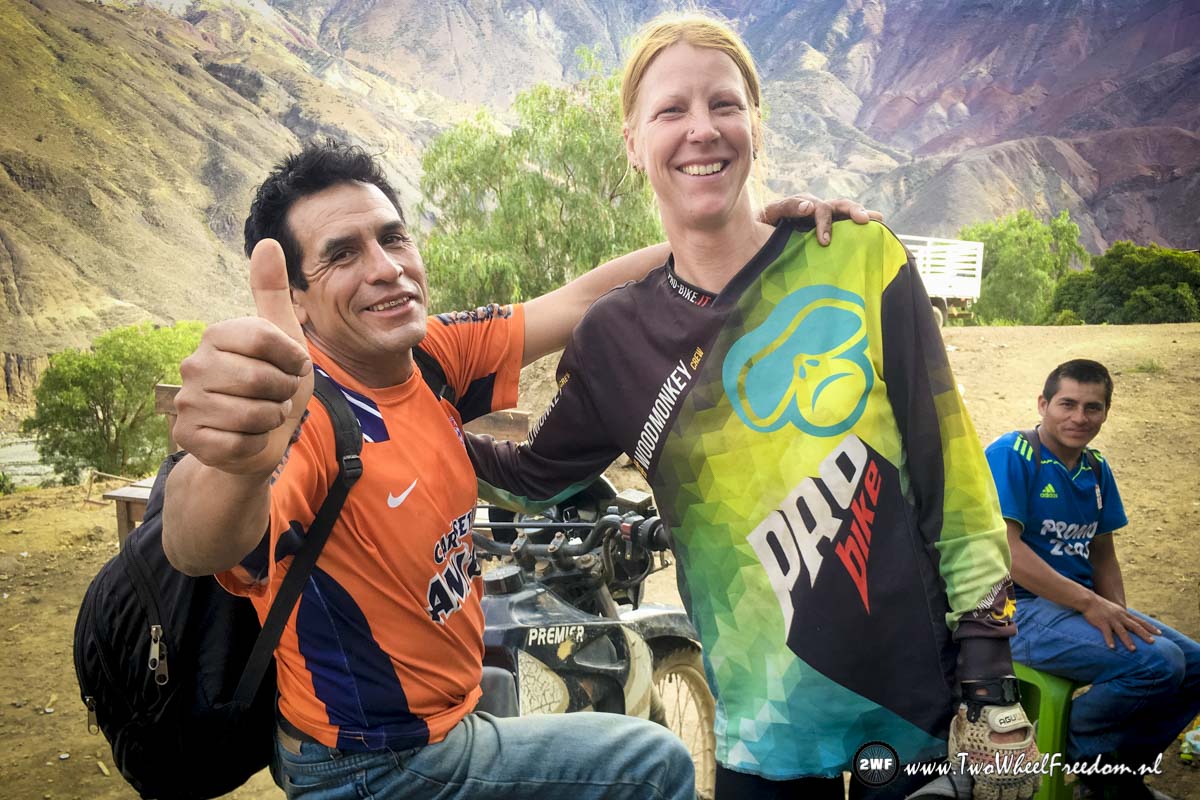
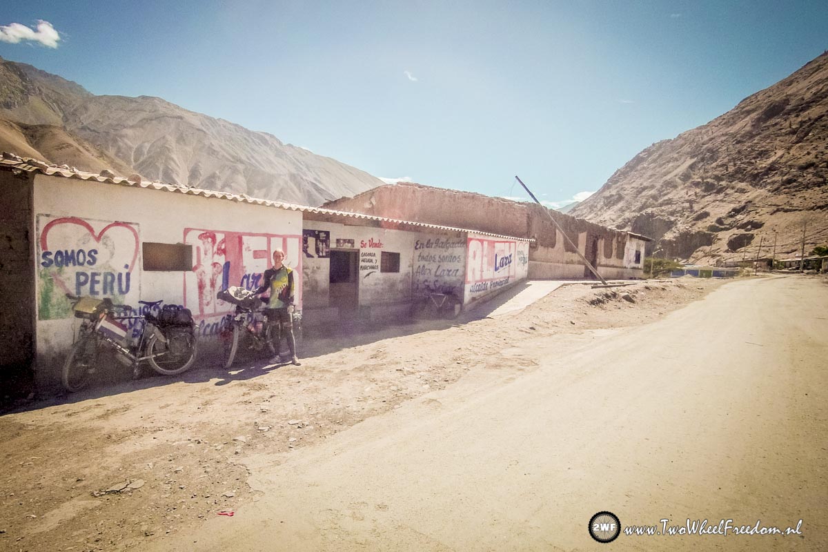
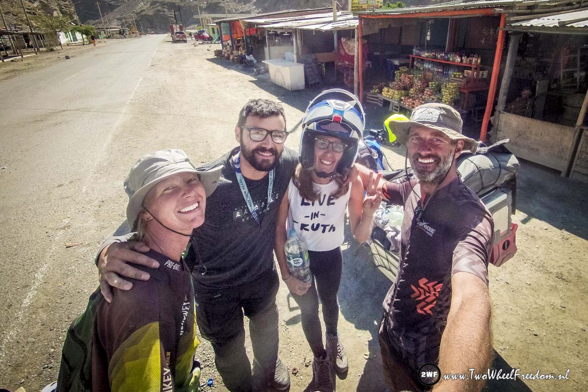
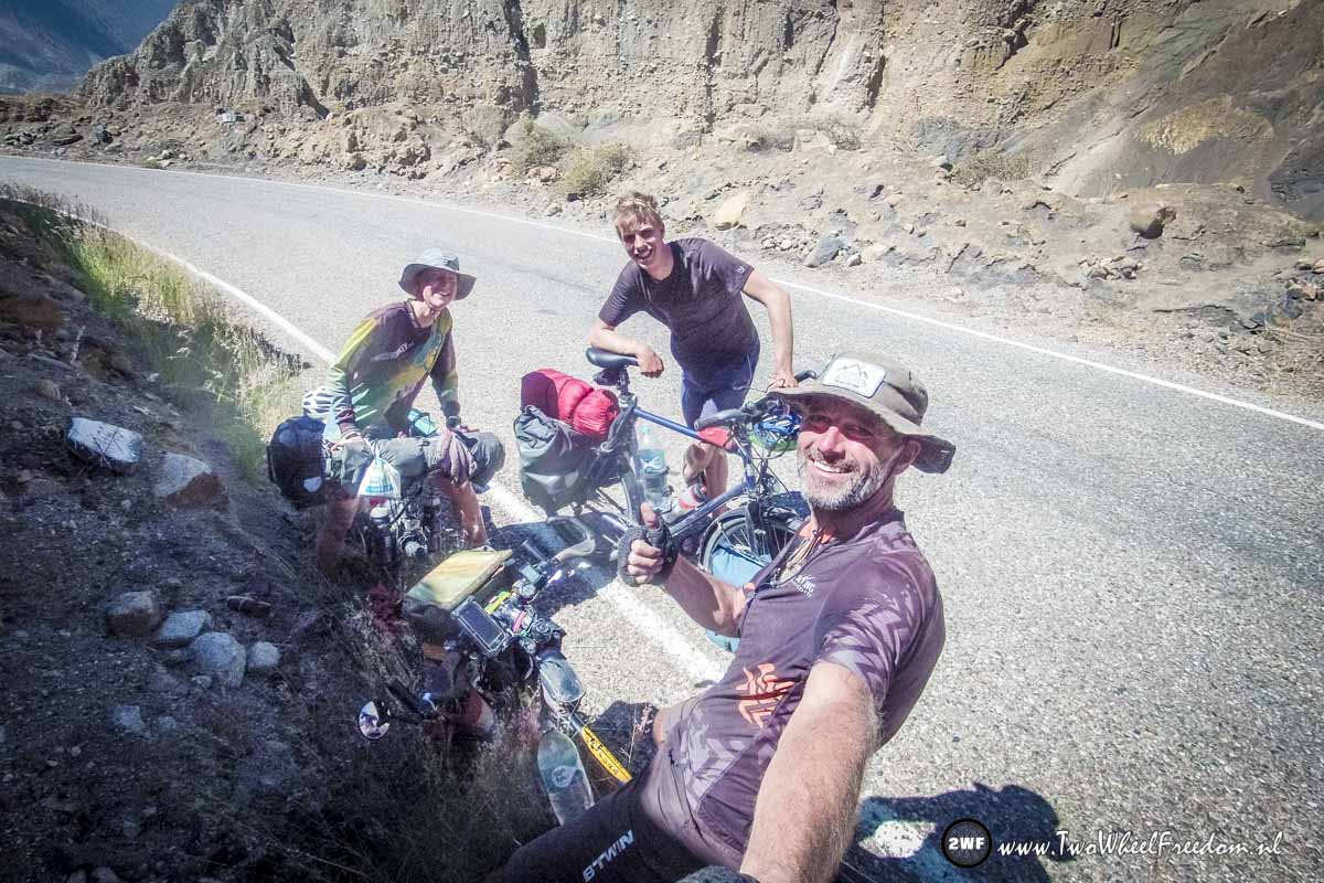
The next day cycling we meet Alex from Argentnia.

Still cold at night so a Whisky is fine.
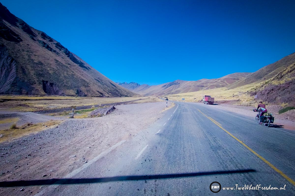
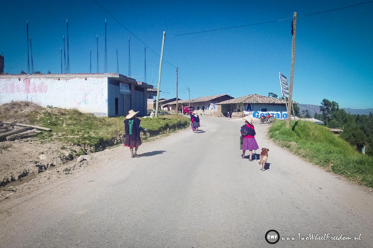
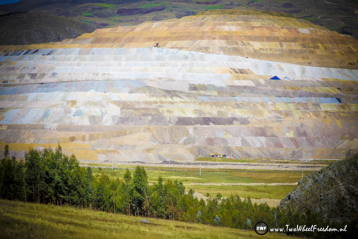
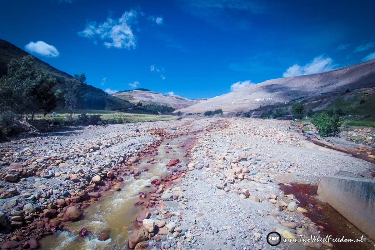
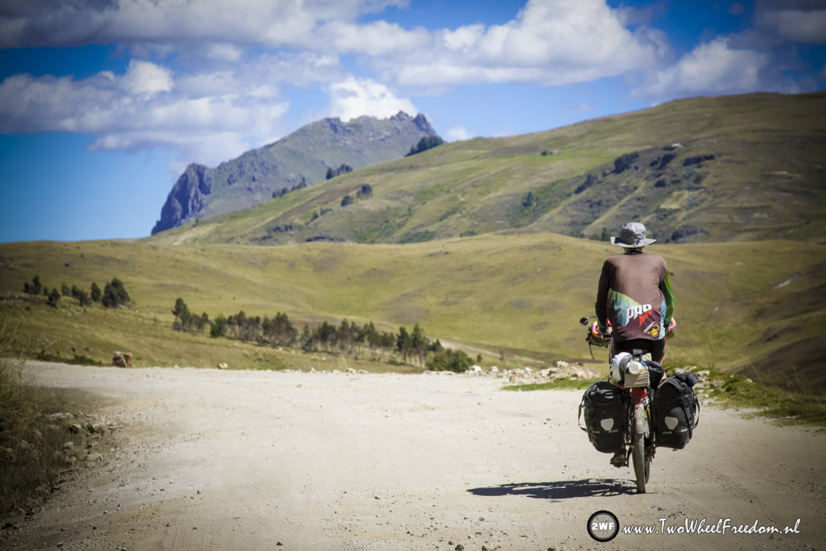
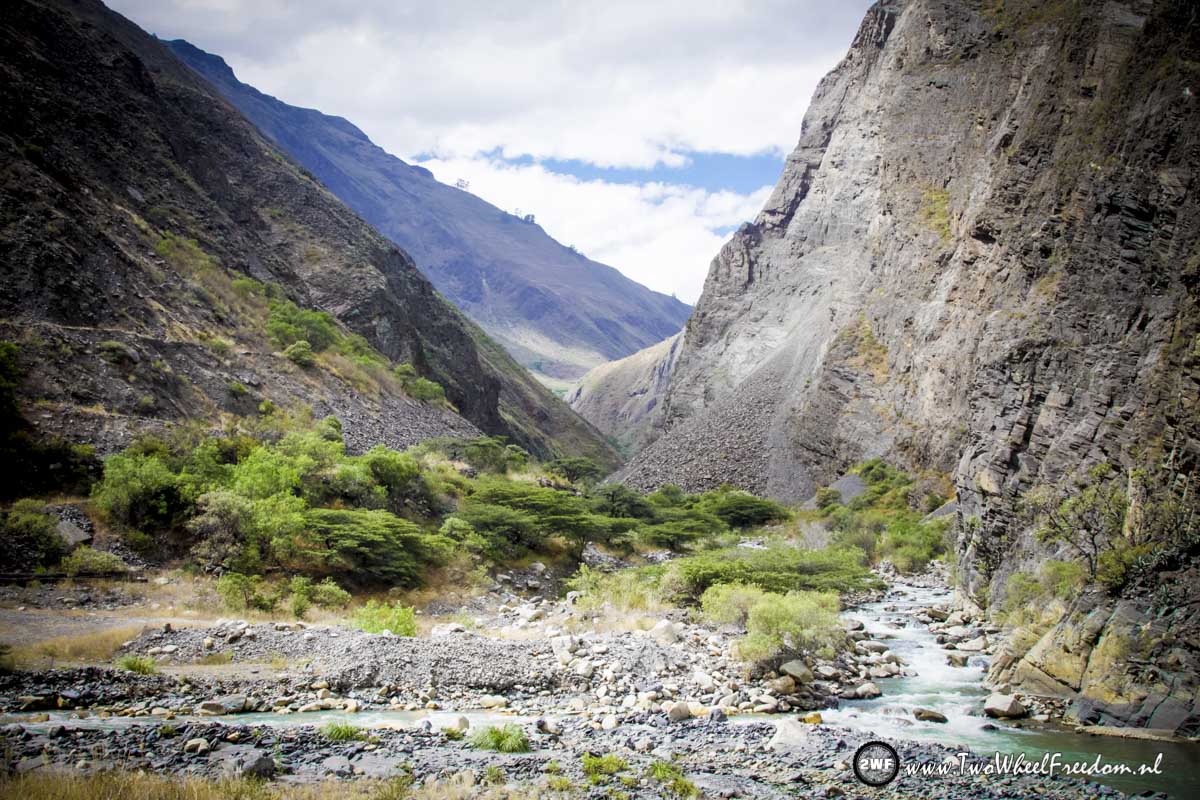
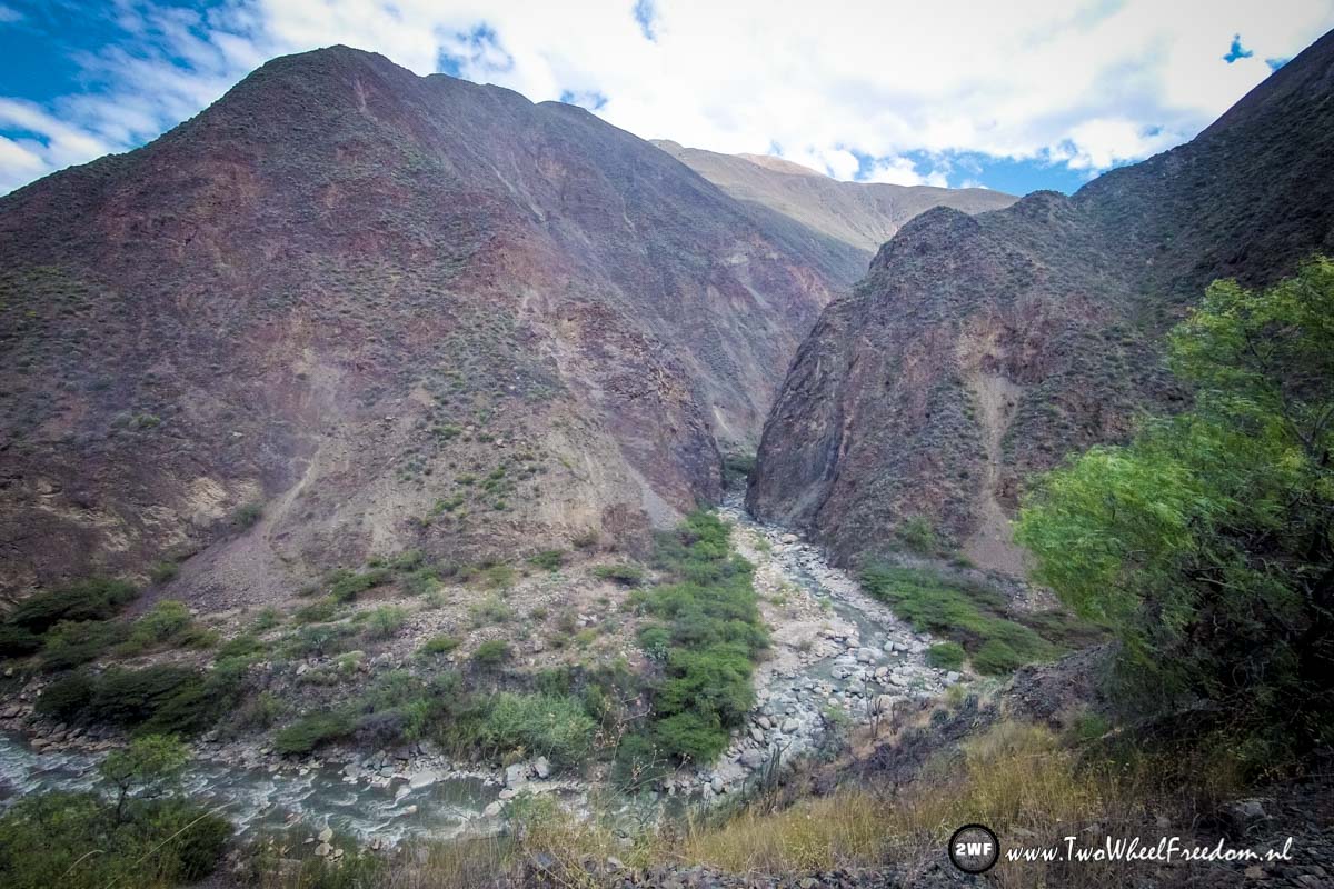
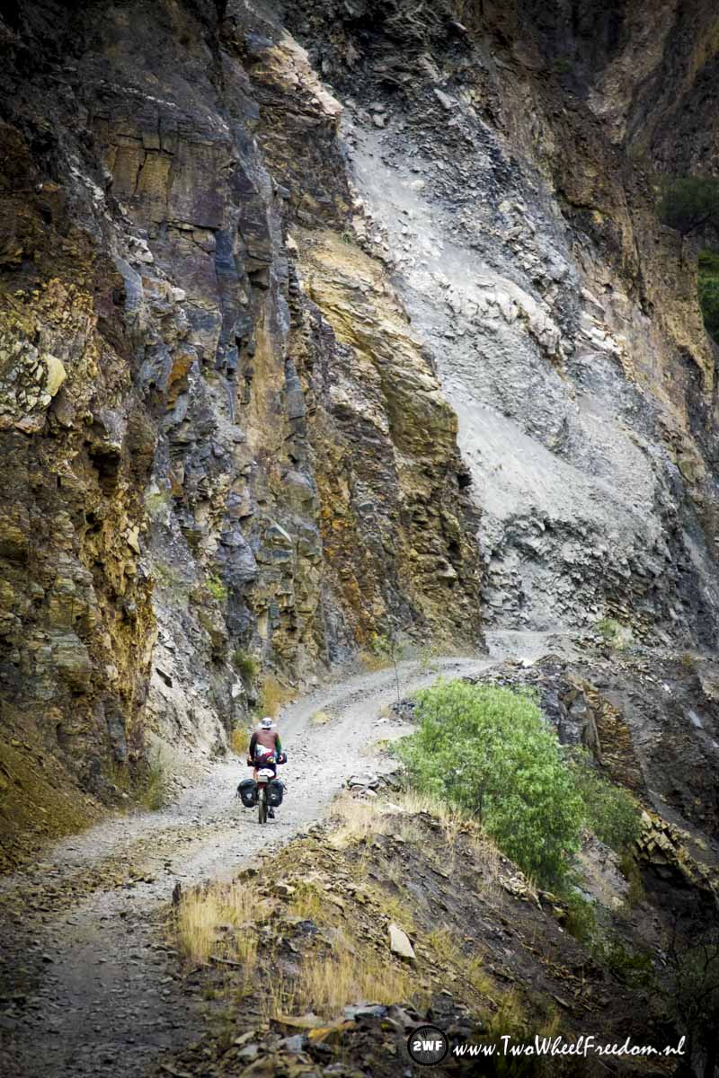
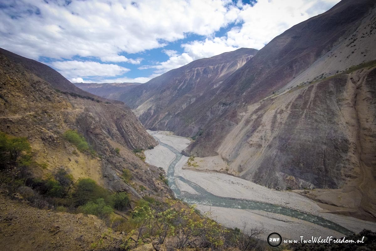
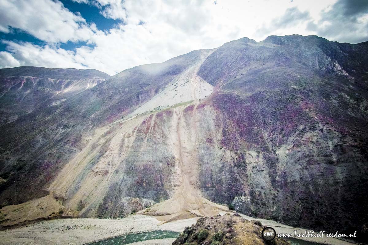
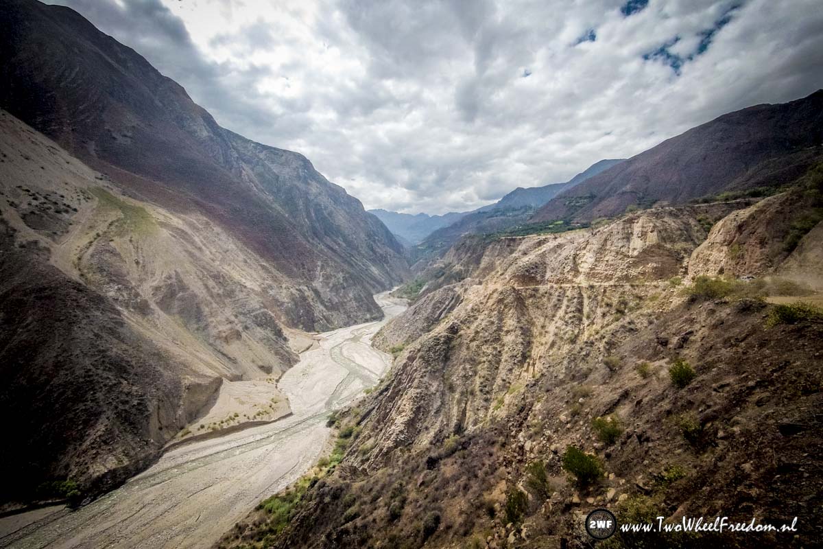
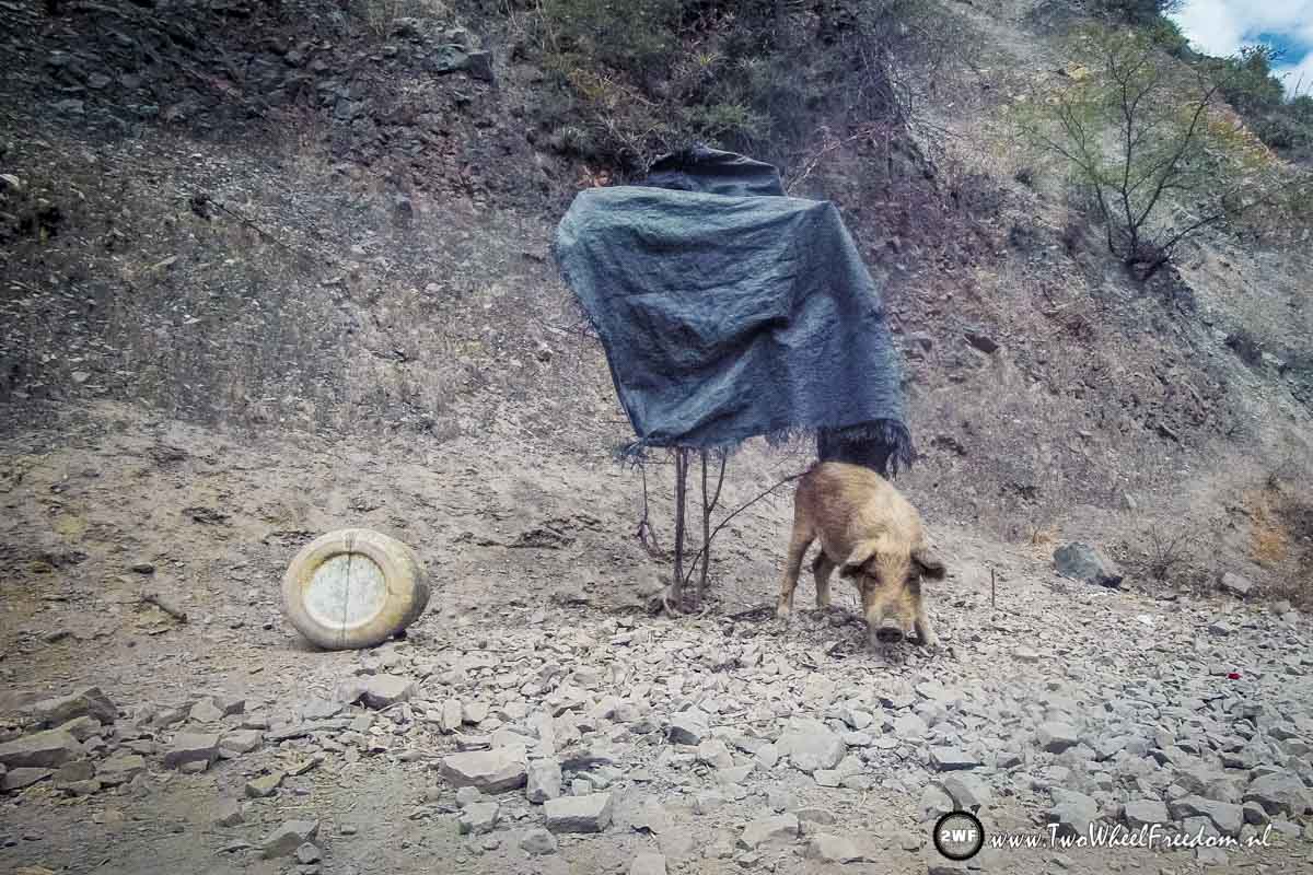
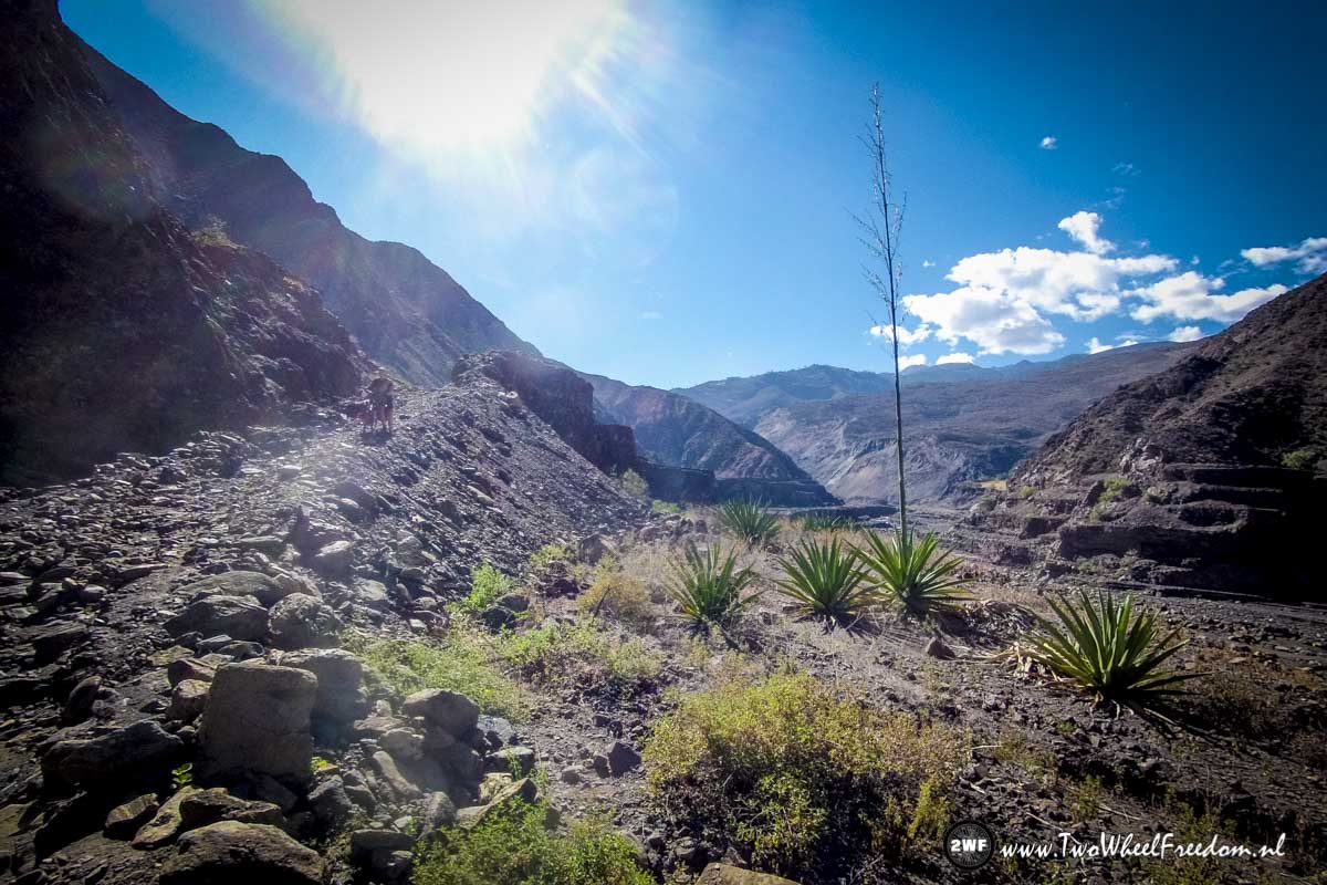
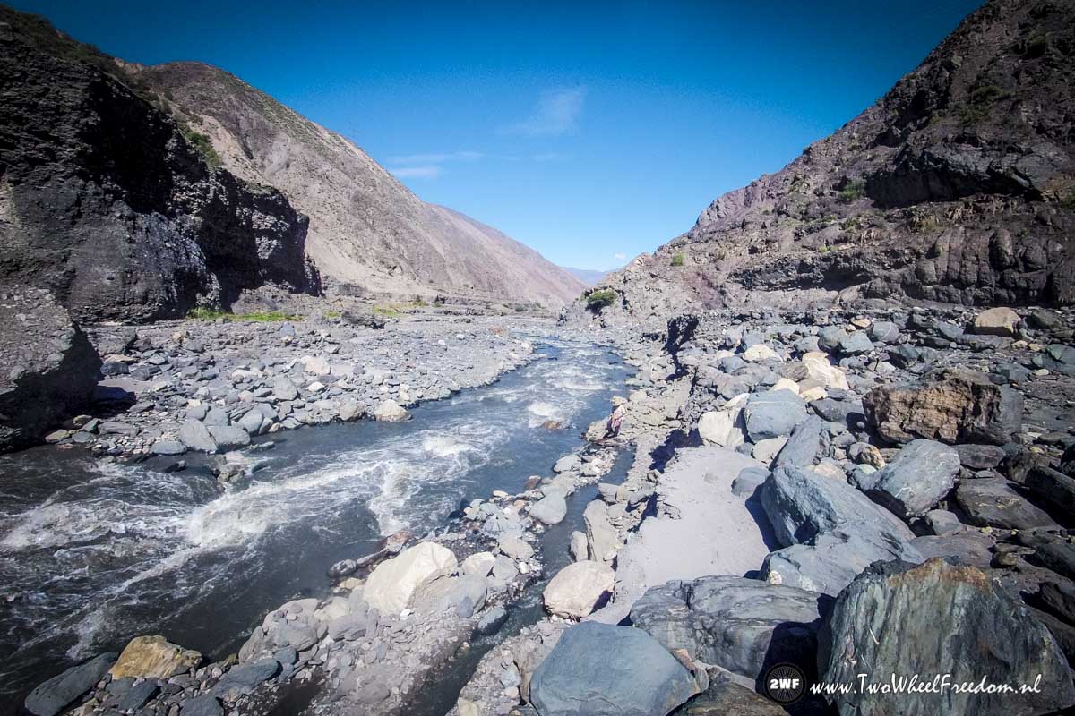
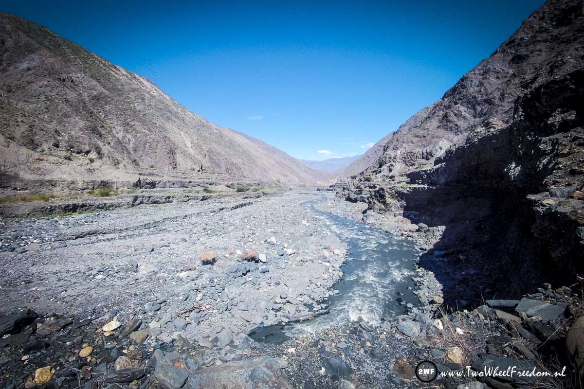
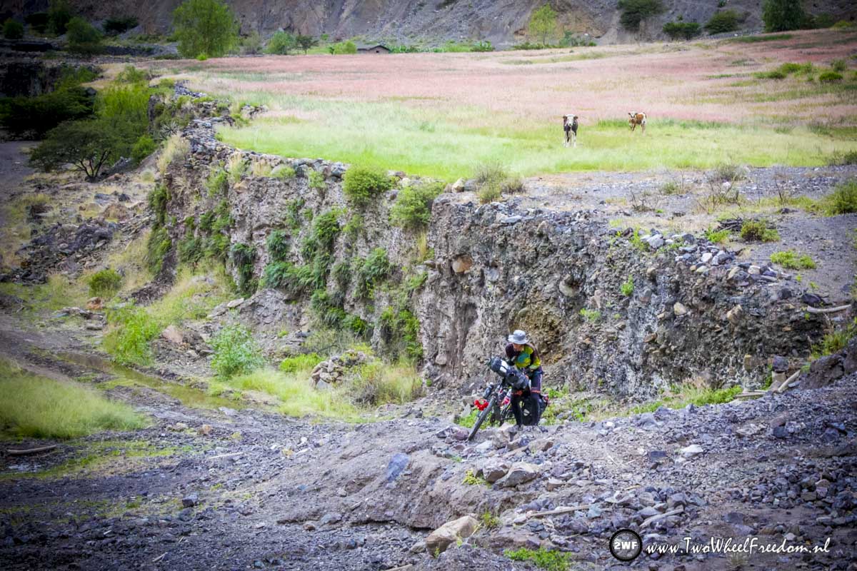
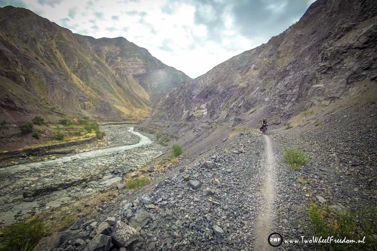
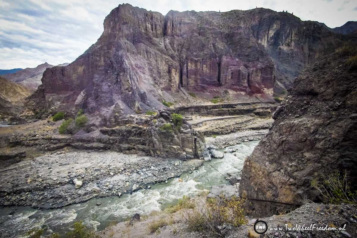
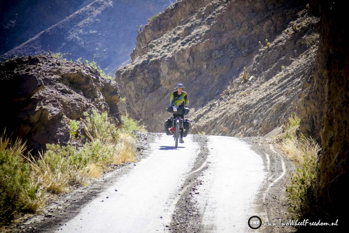
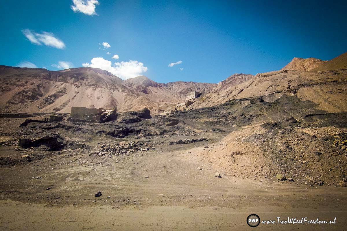
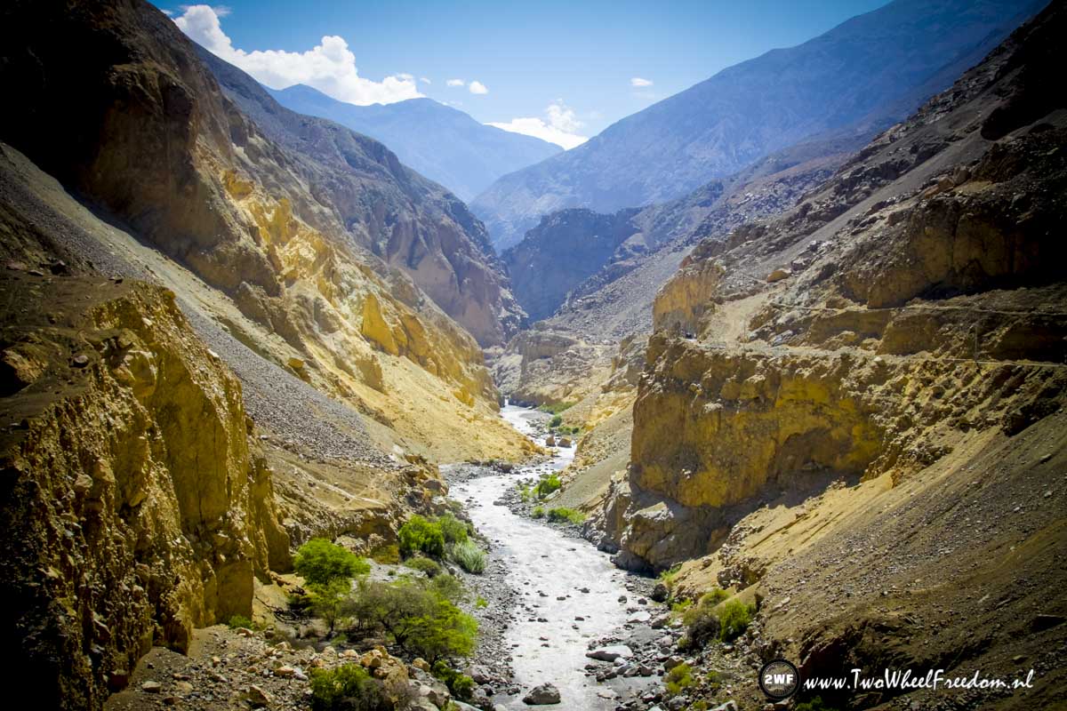
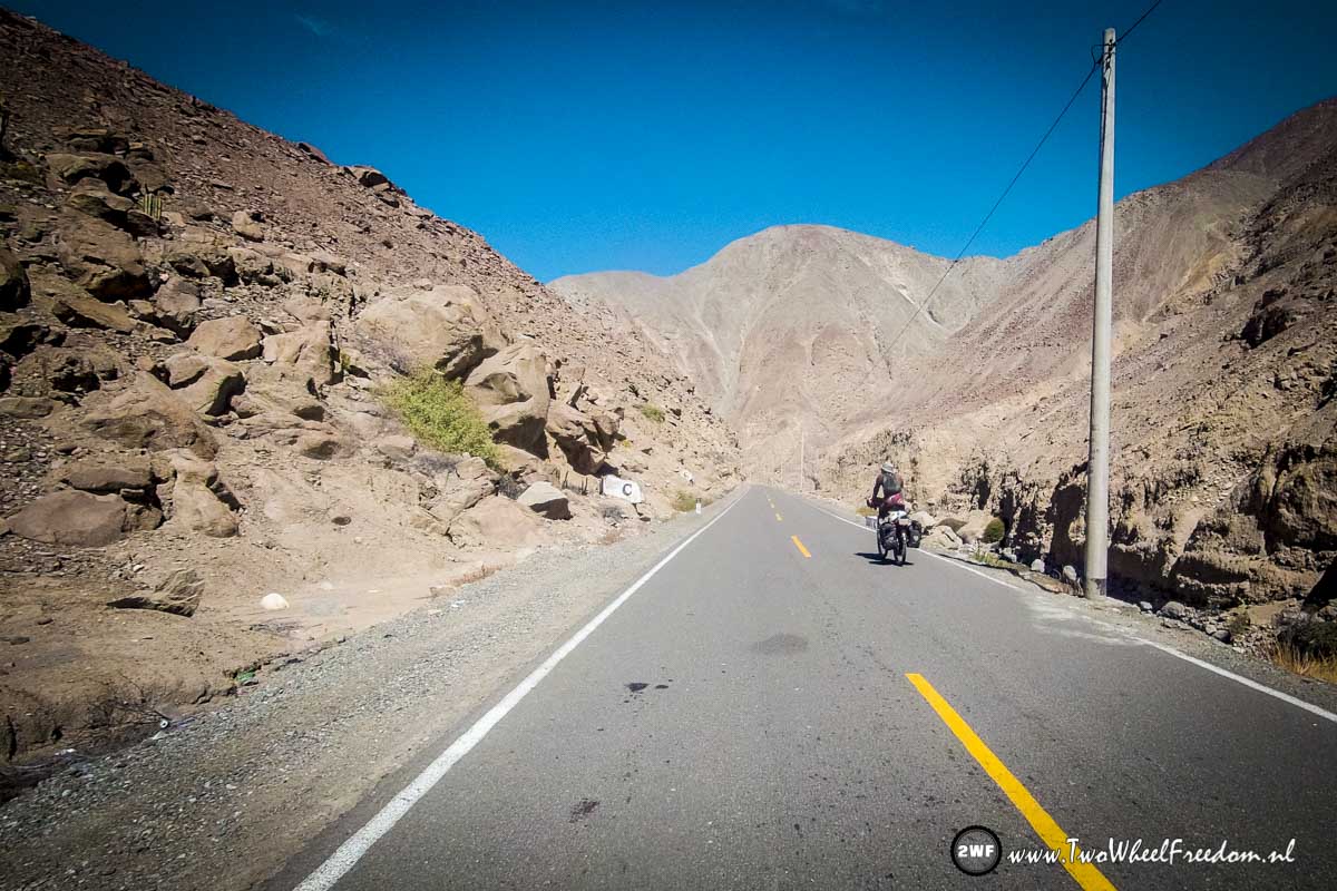
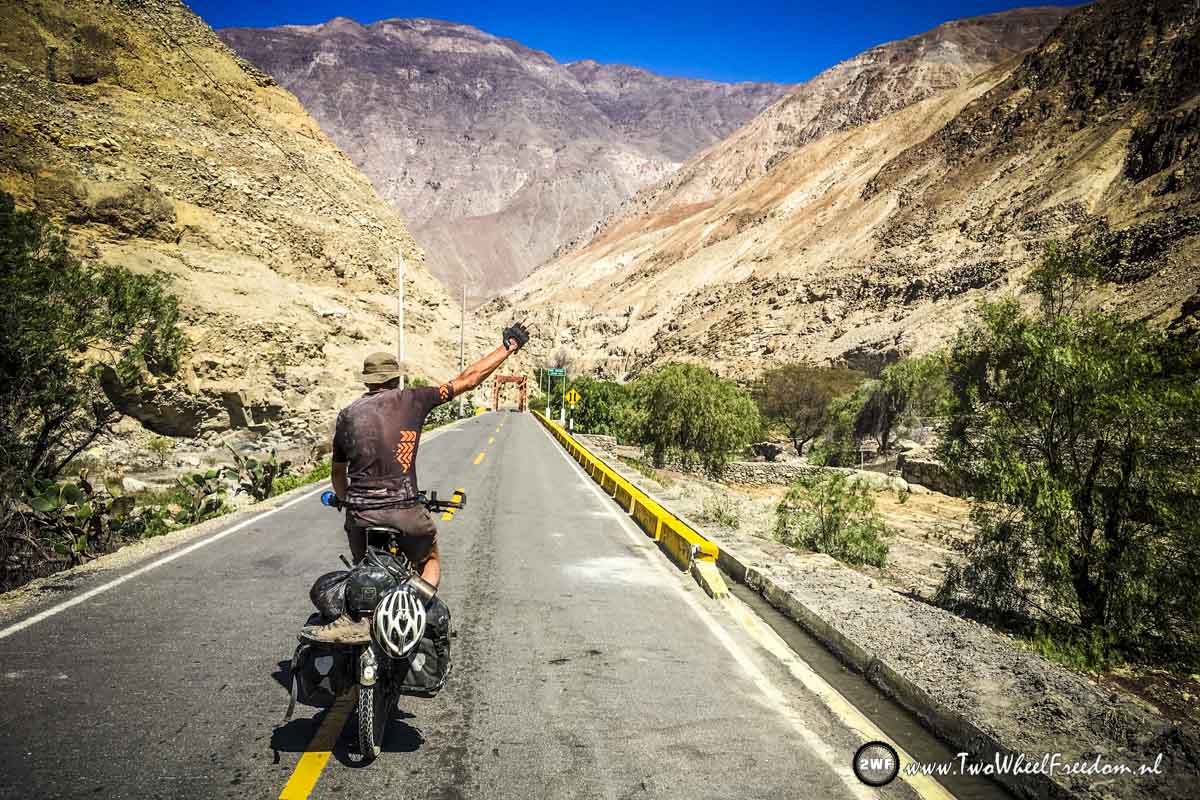
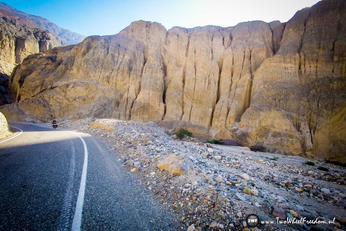
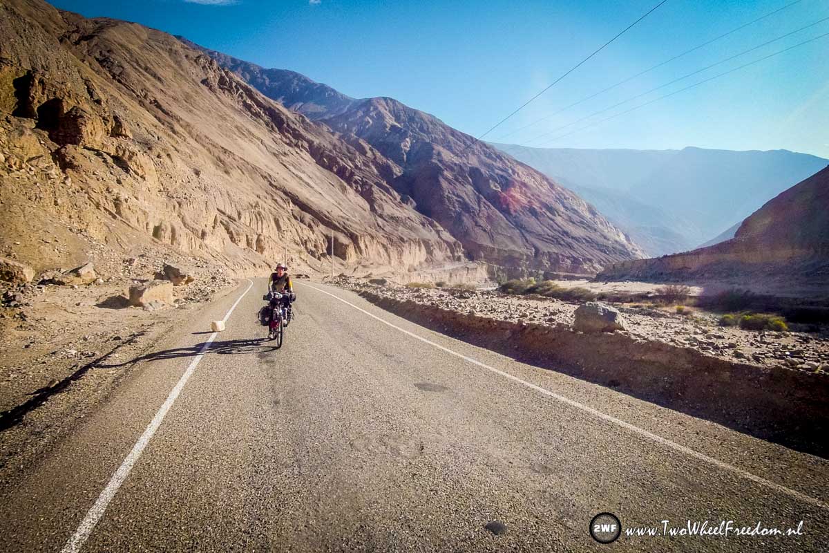
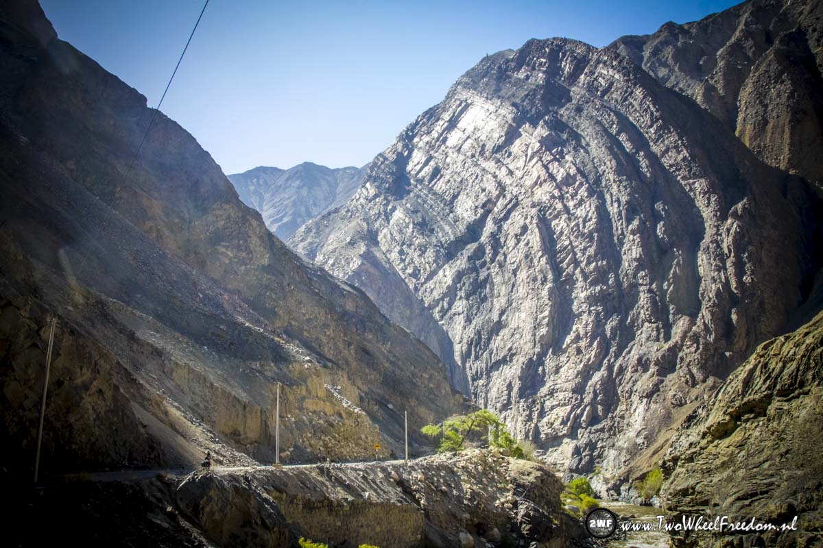
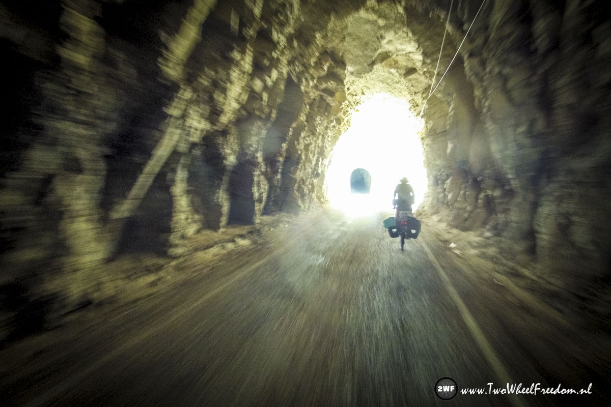
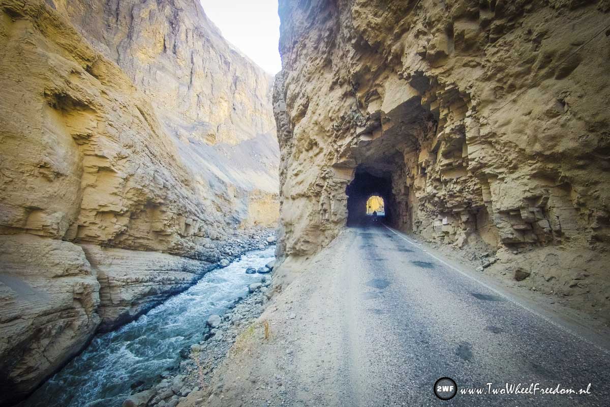
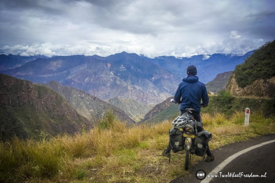
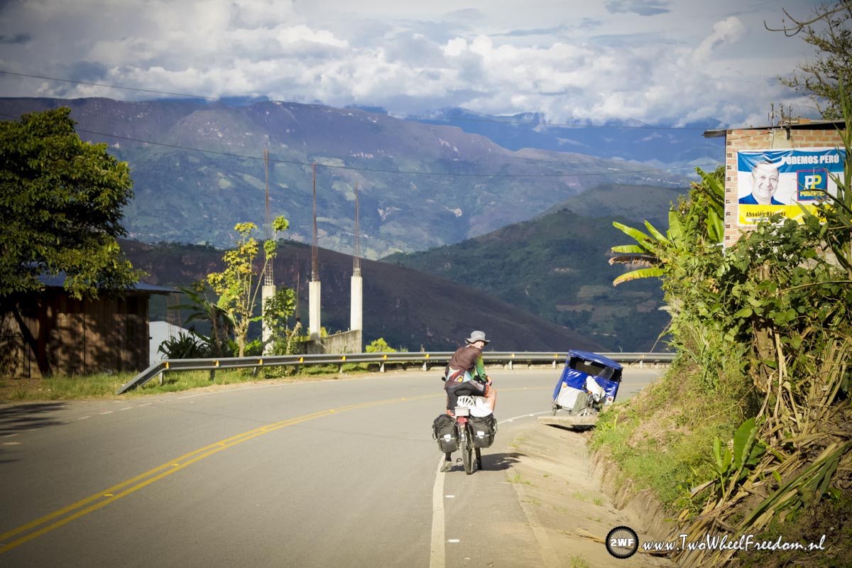
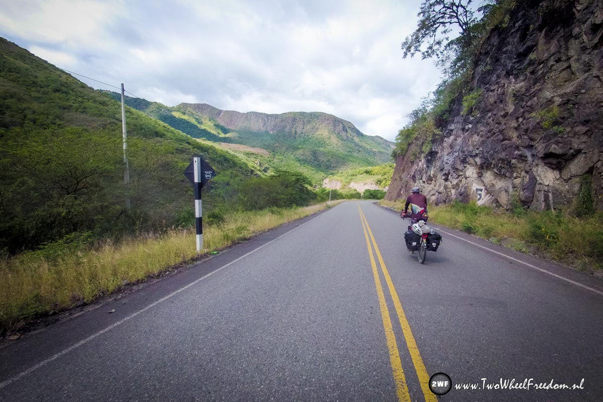
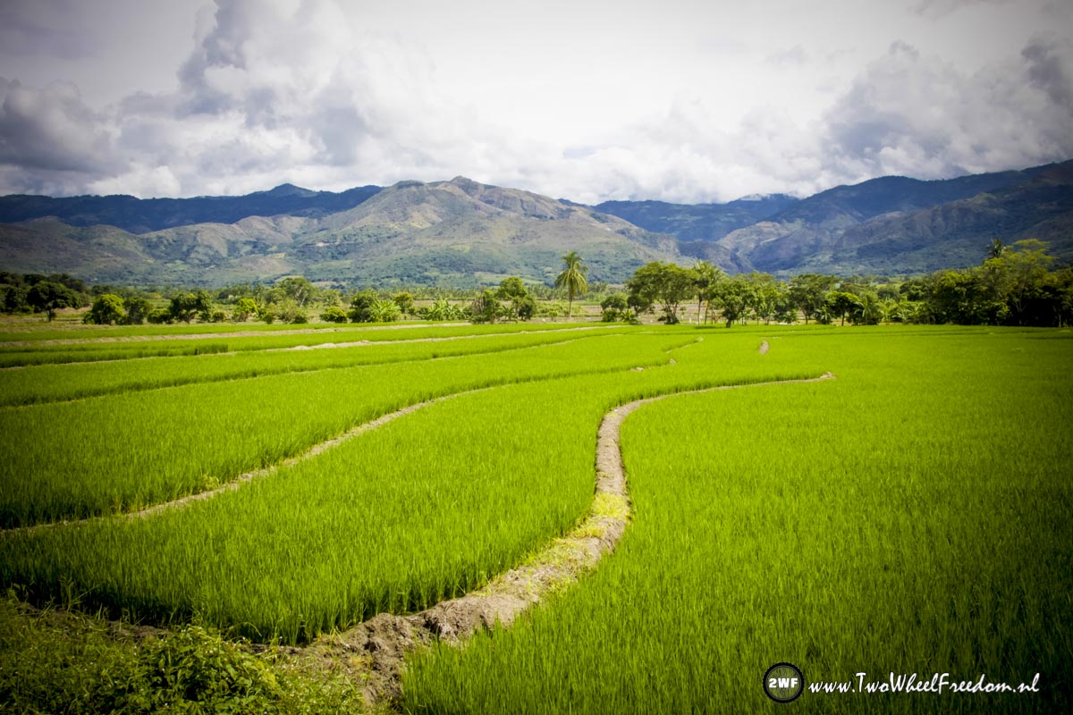
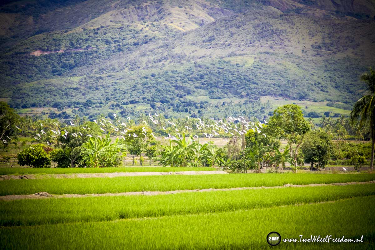
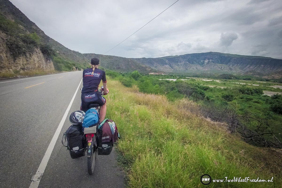
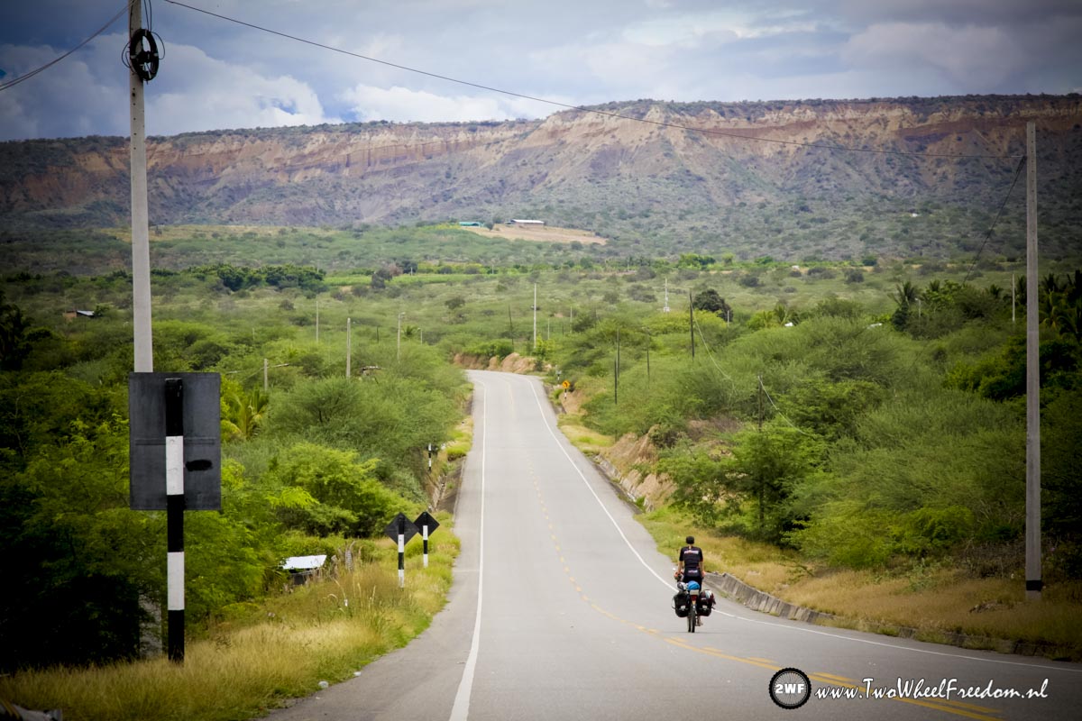
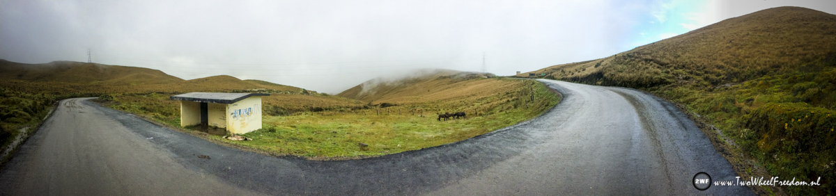
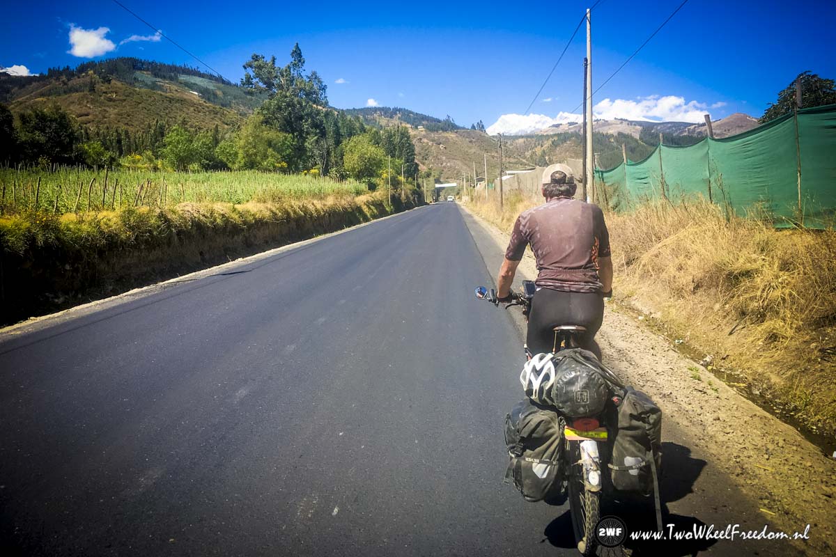
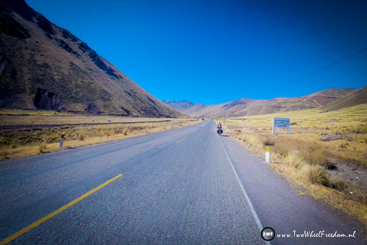
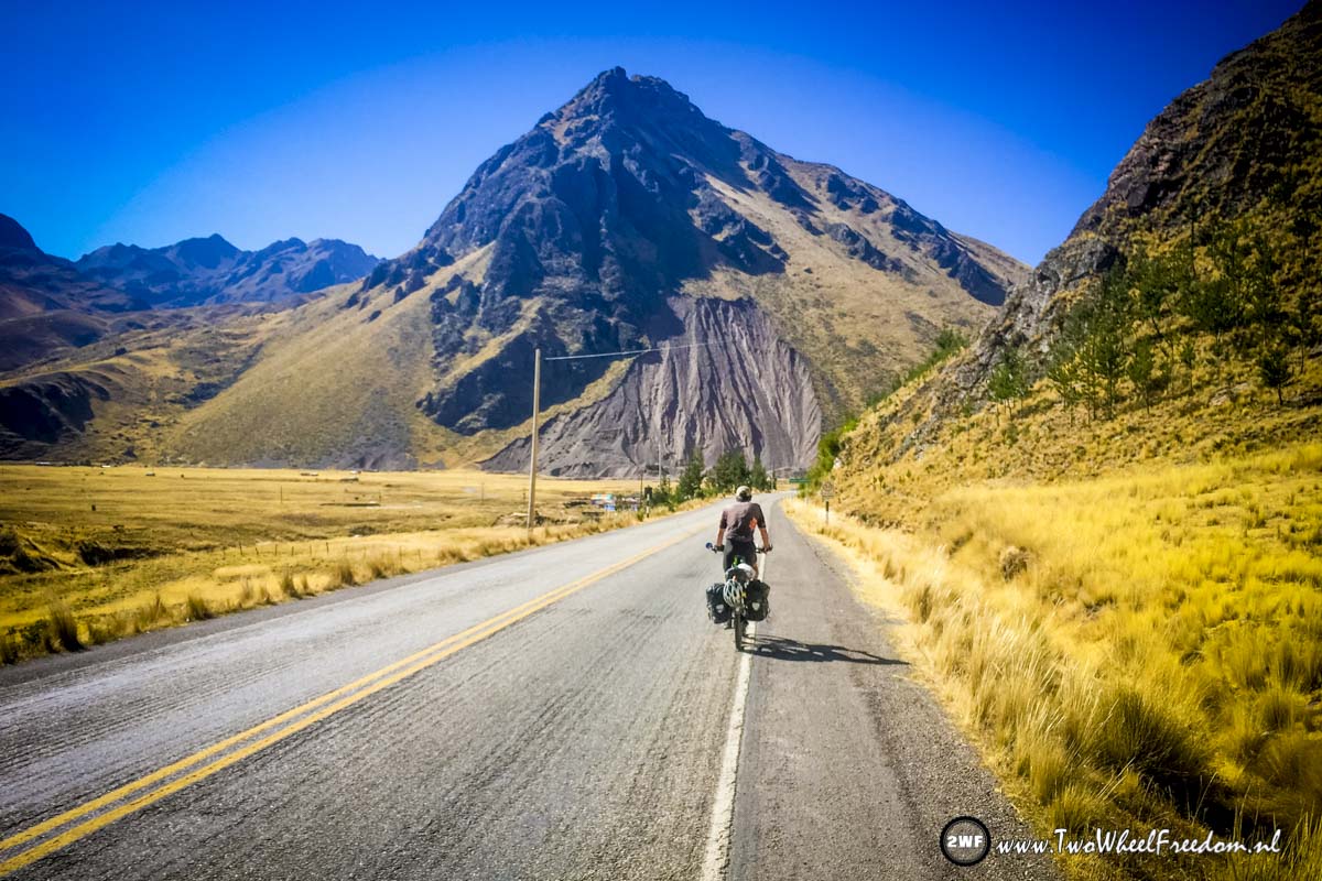
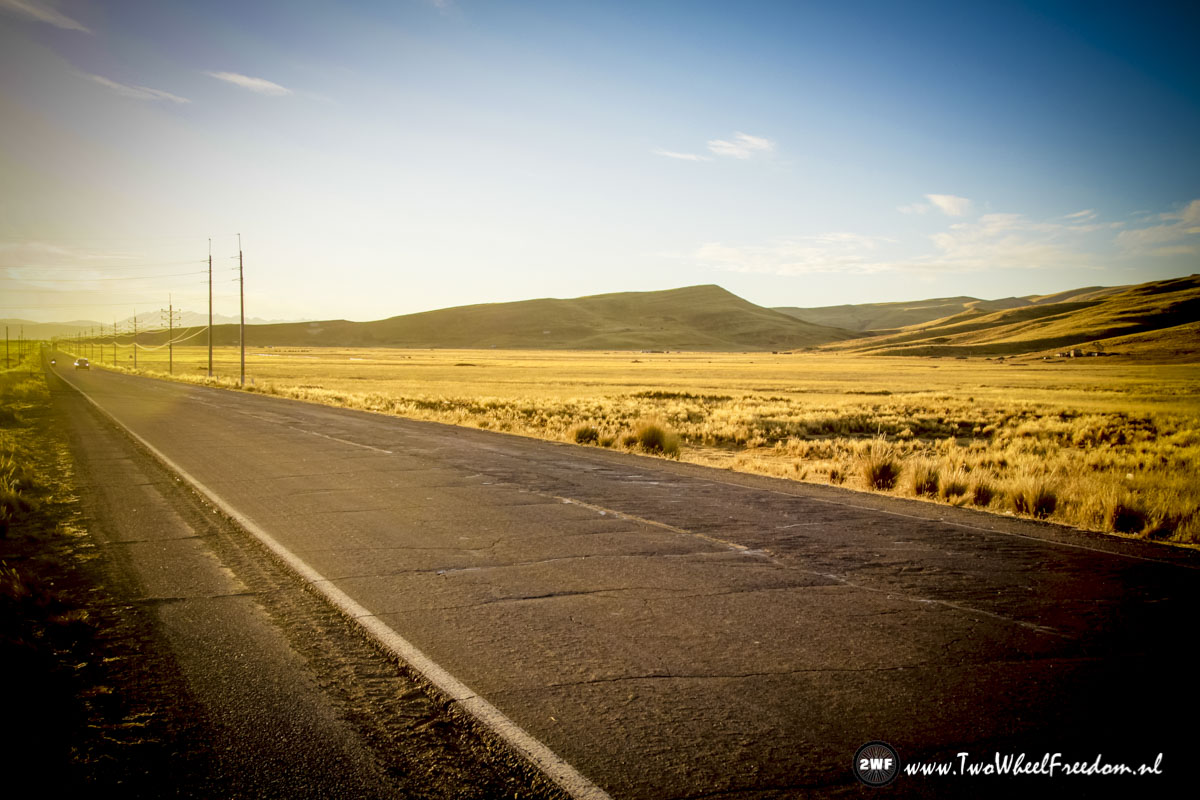
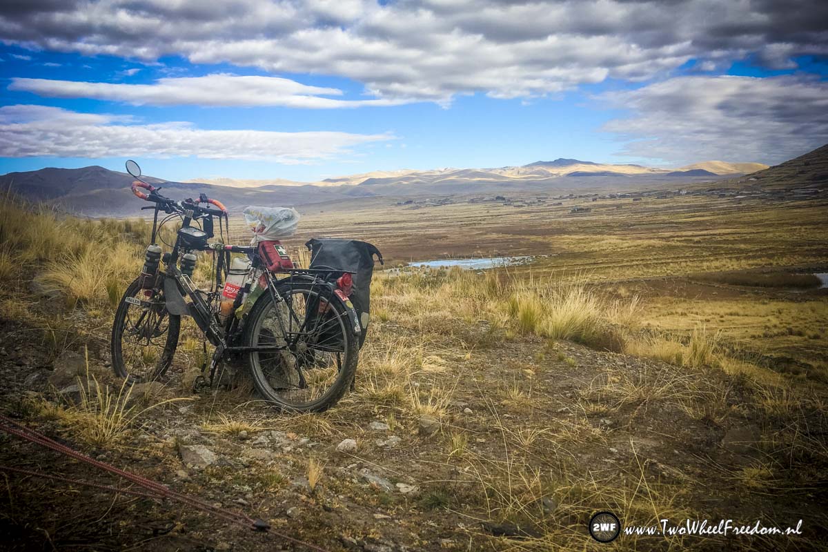
The long roads of Southern Peru.
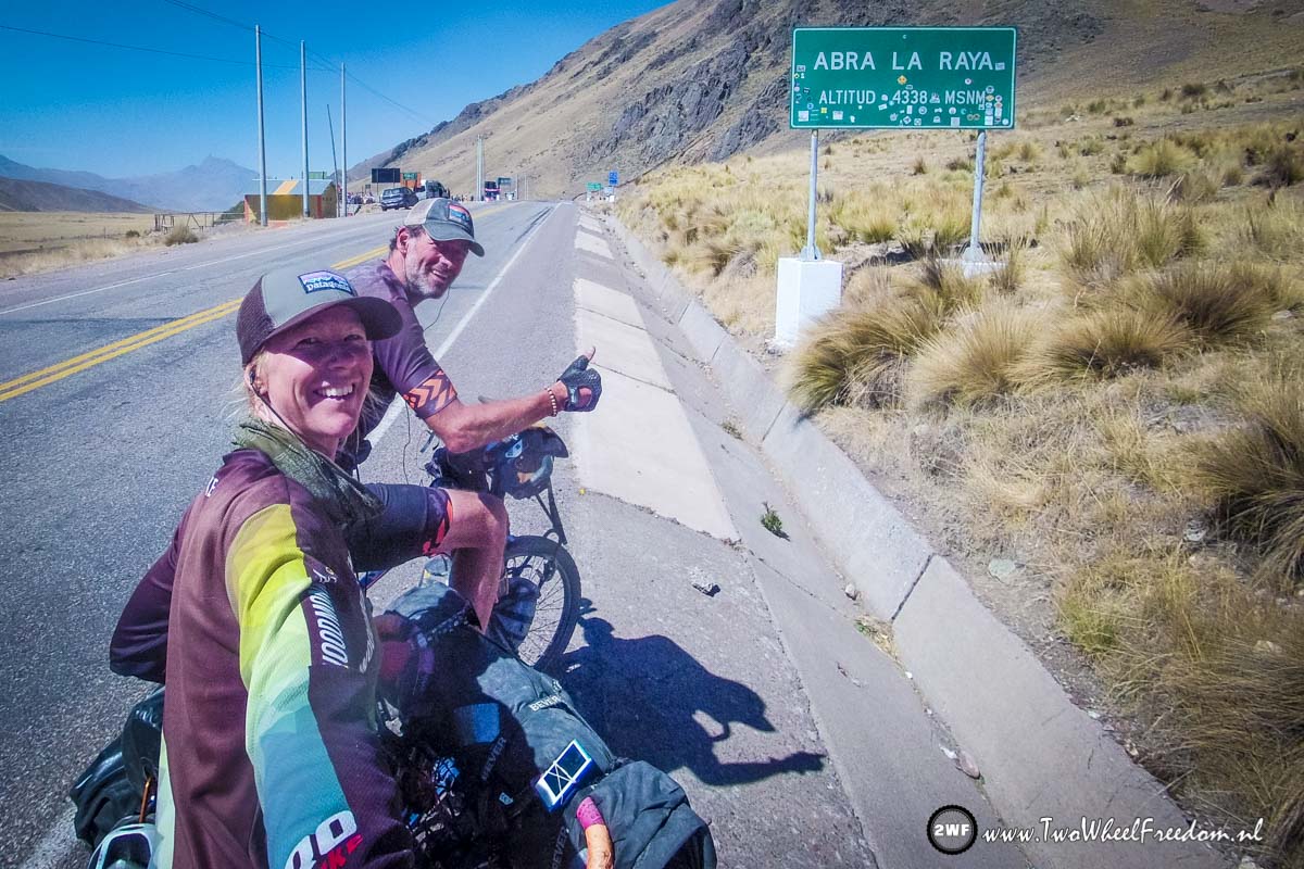
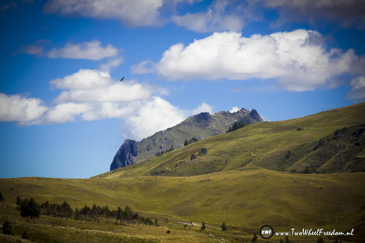
Check: Another mountain pass. At 4338m.

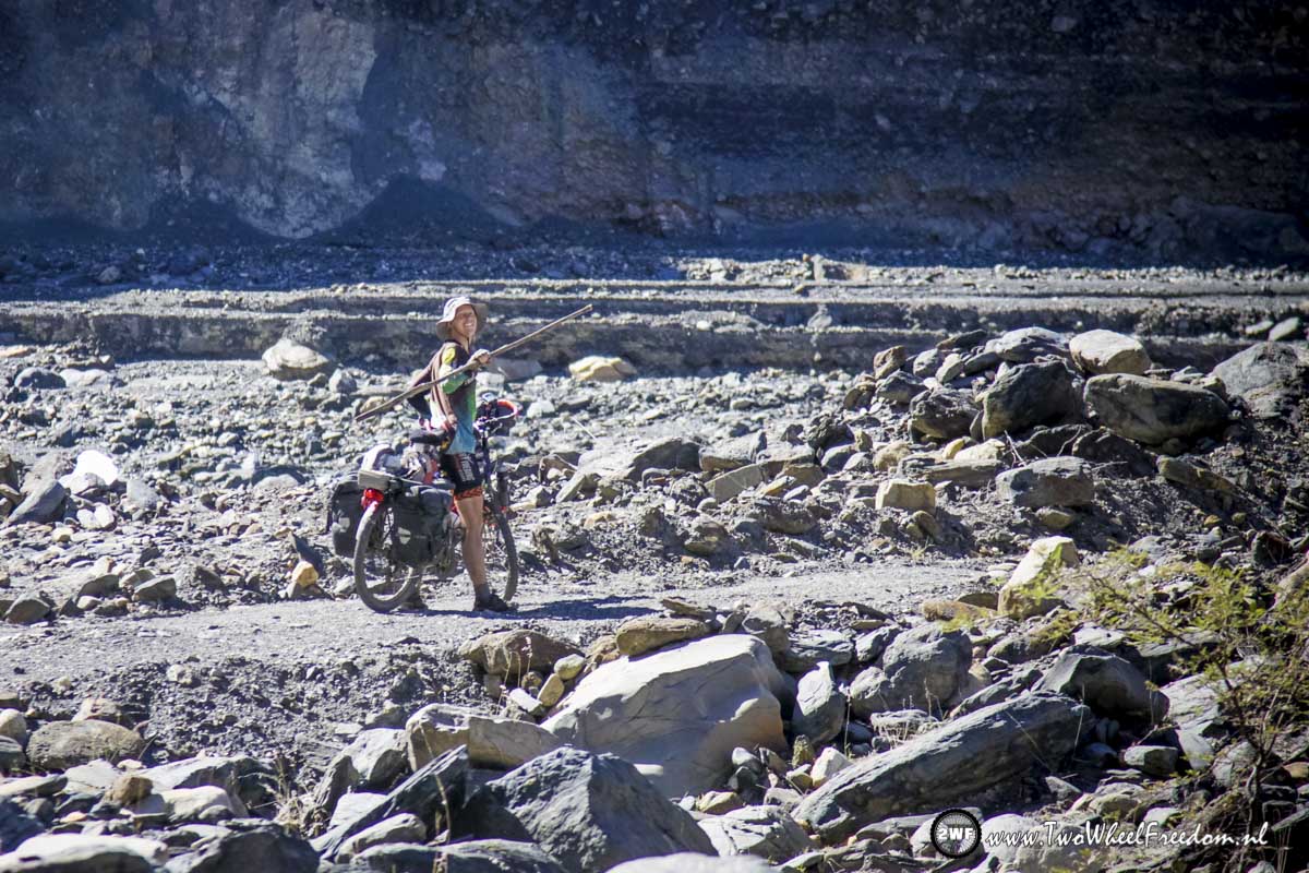
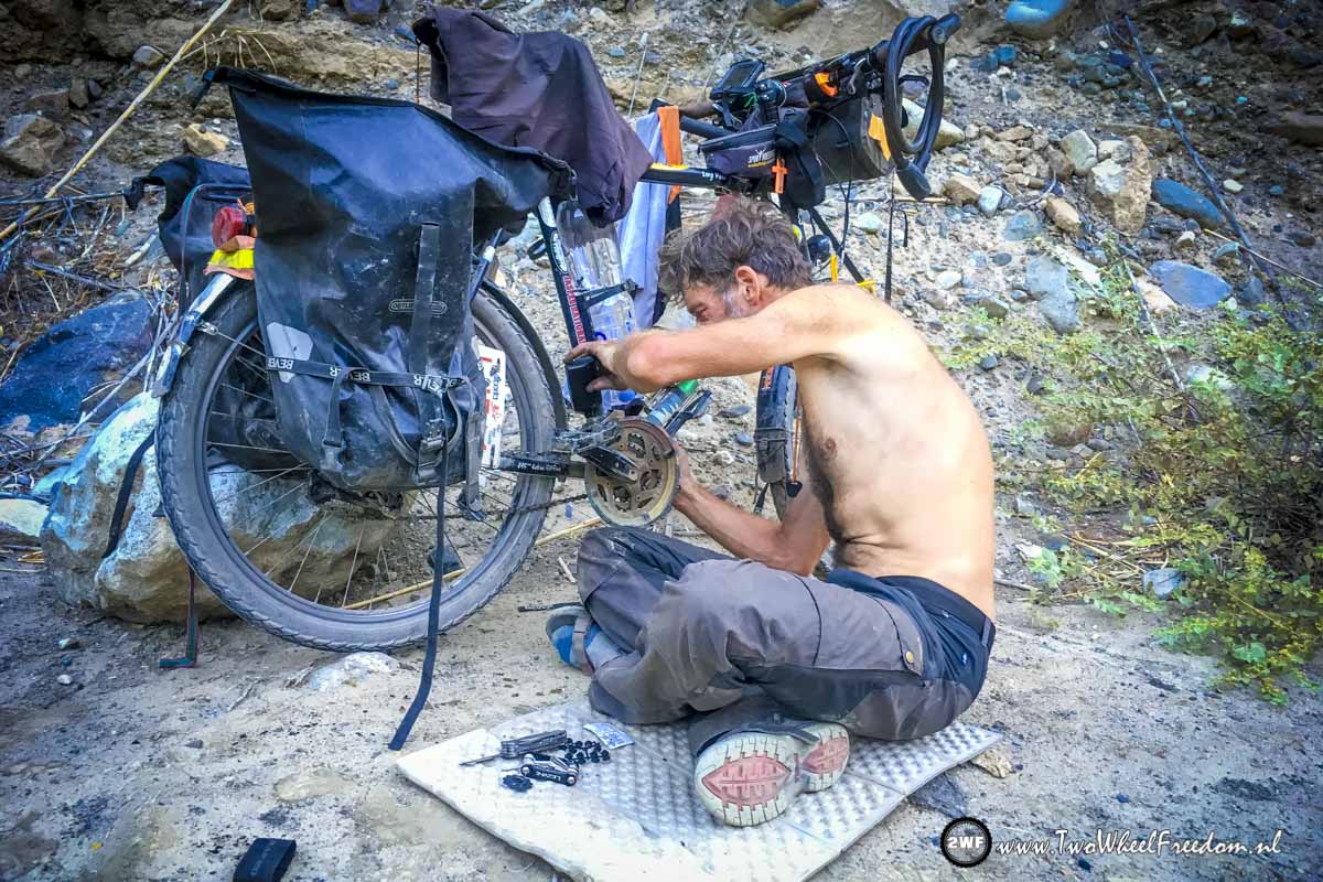
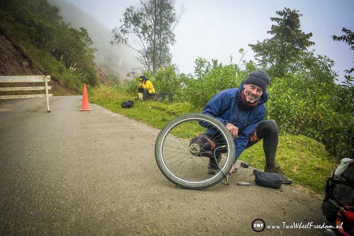
Dahm… Kim a flat tire again.
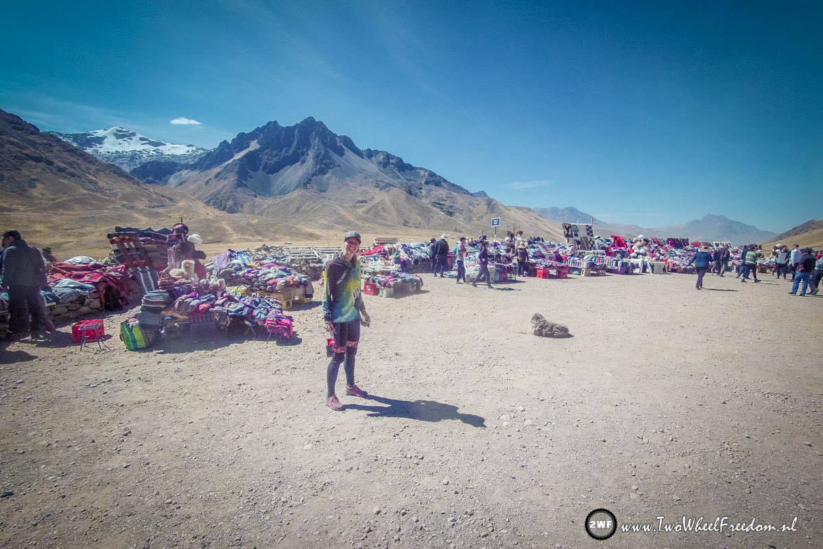
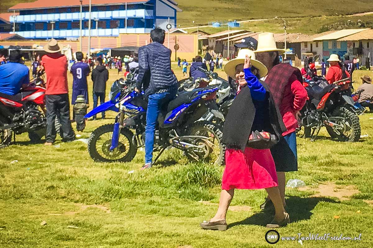
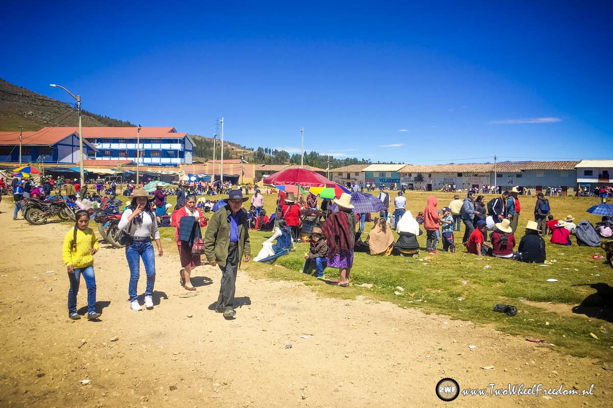
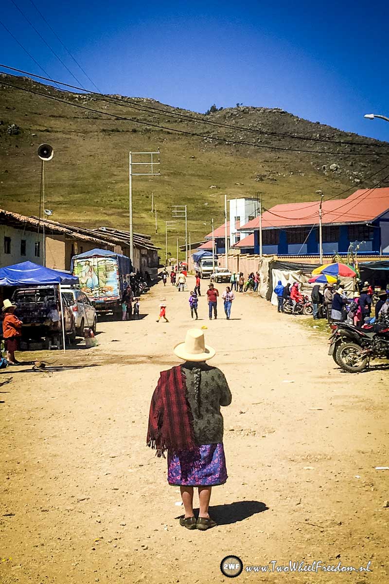
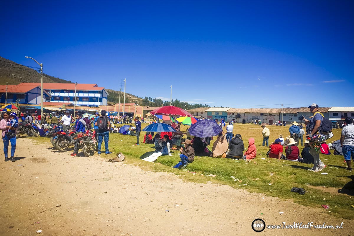
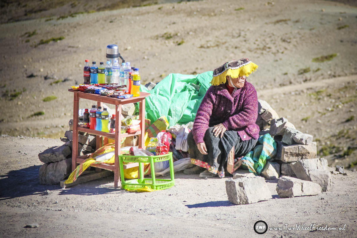
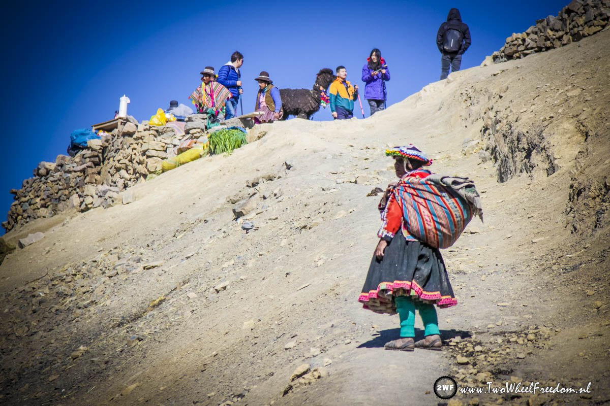
Market at the top of the mountain pass.
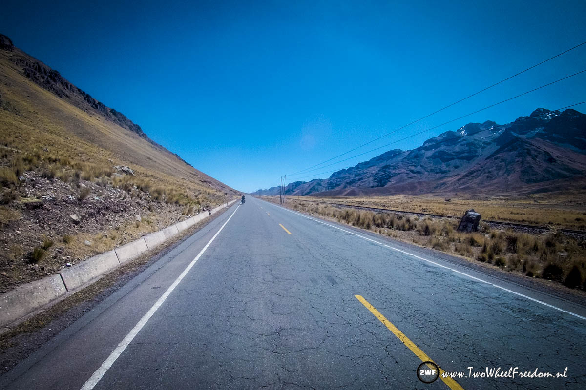
Going down after the pass.

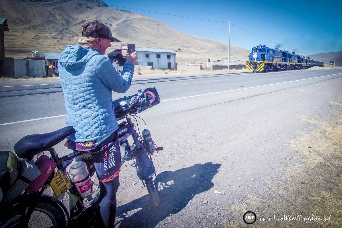
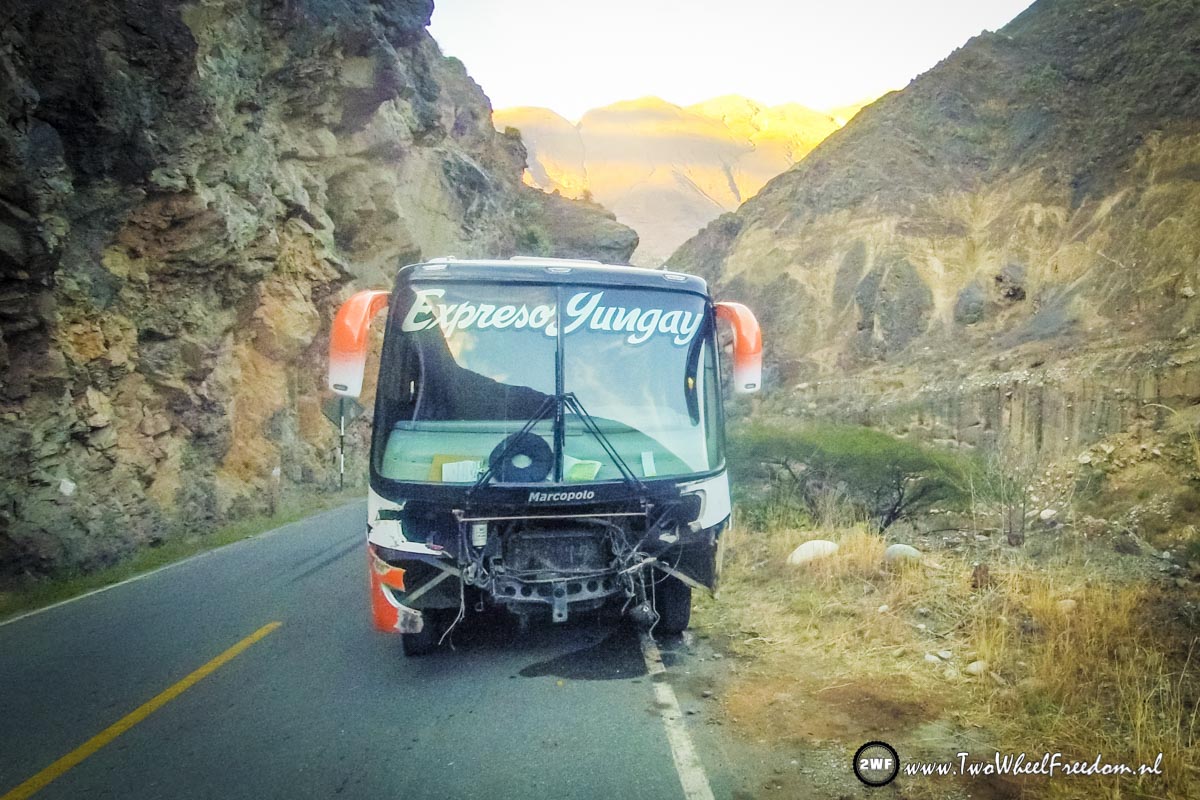
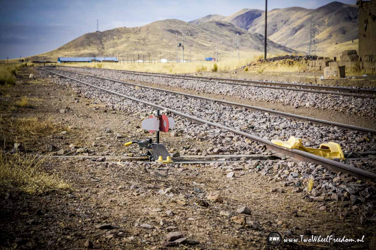
We love the slow diesel trains.
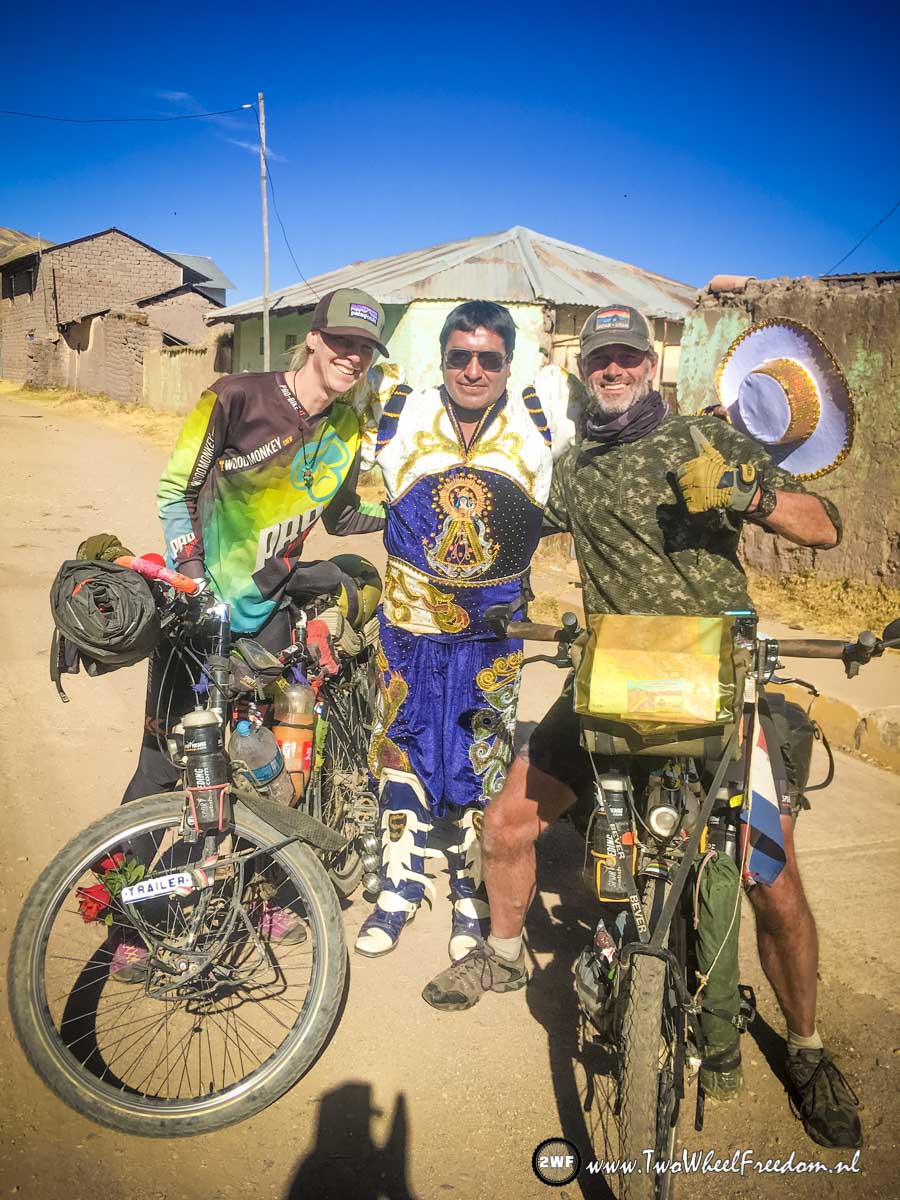
Back in time. Picture with Elvis.
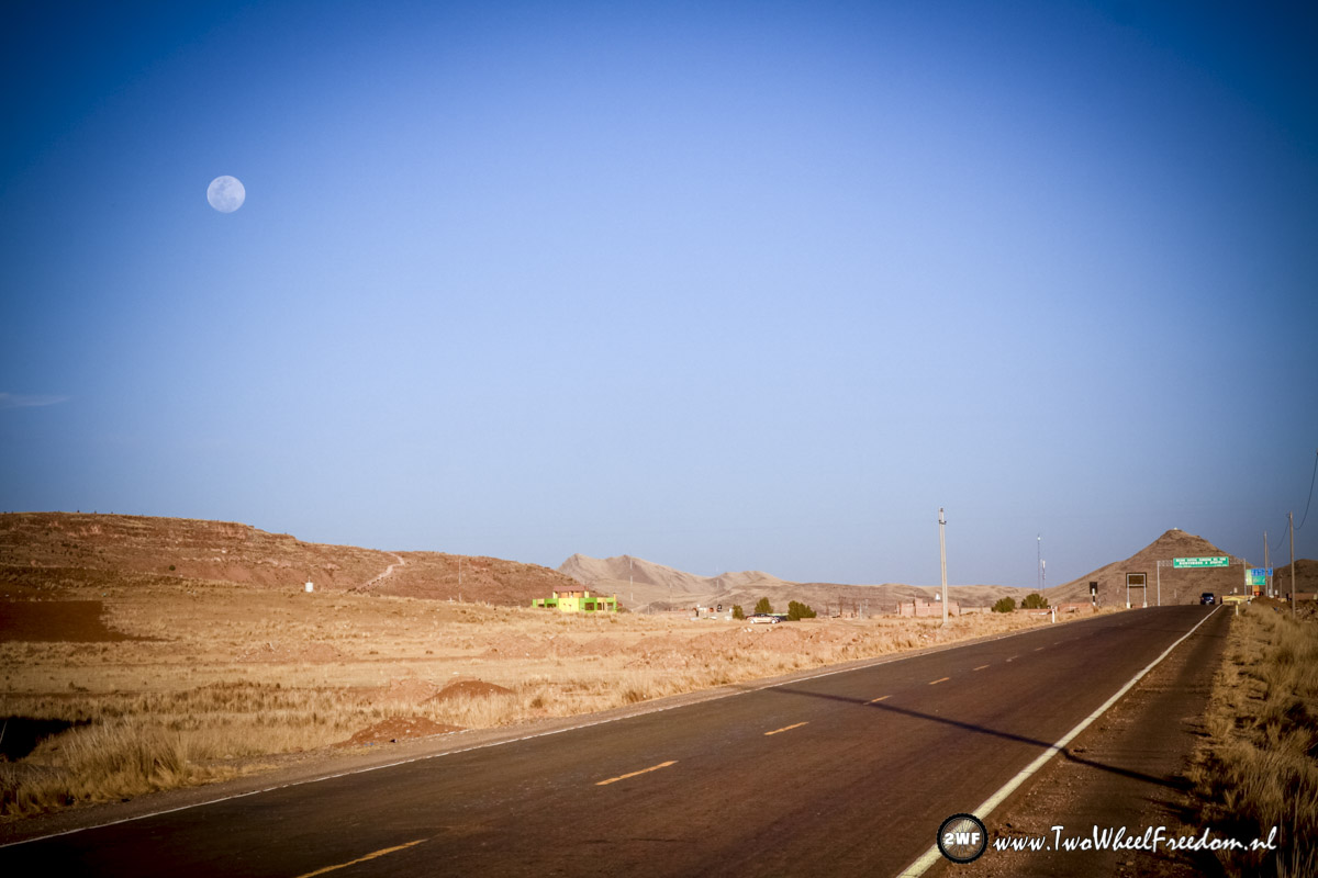
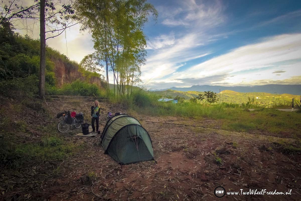
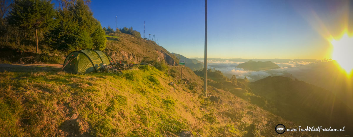
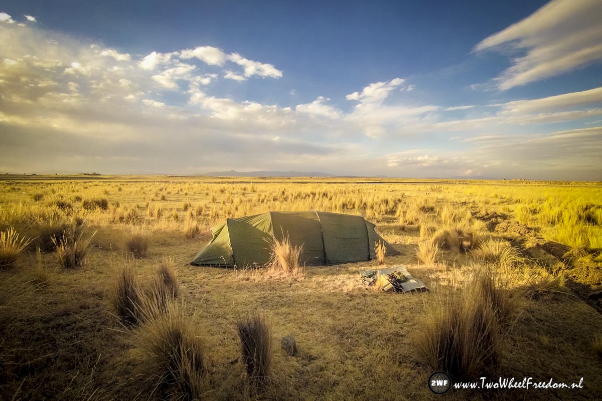
The moon is up already, time to find ourselves a camp spot for the night.
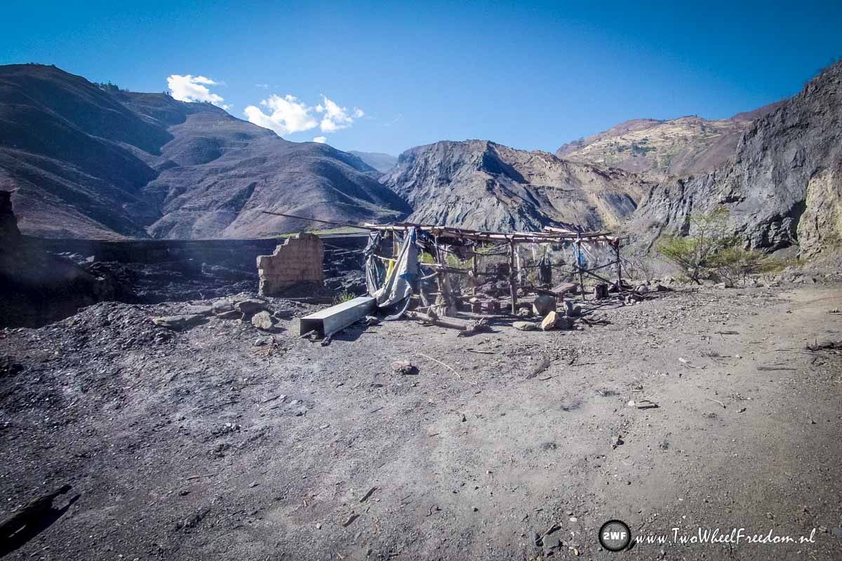
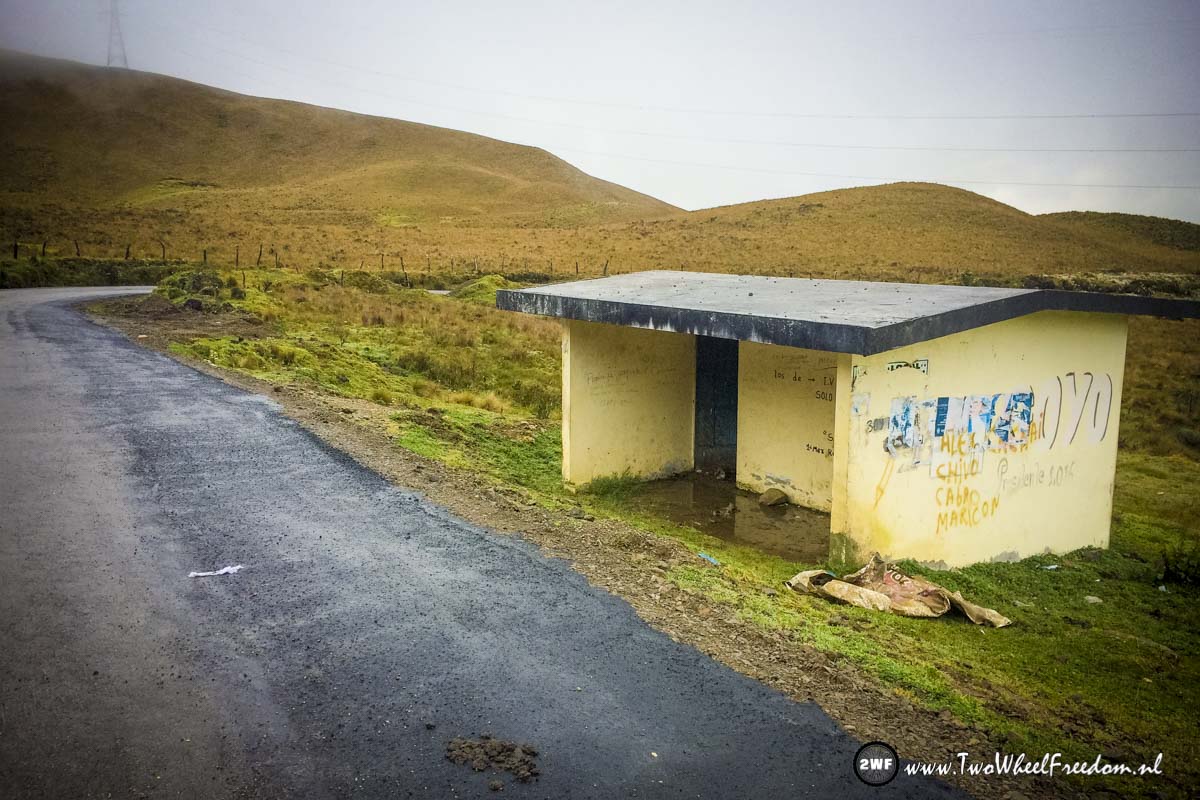
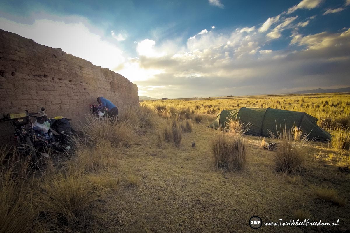
Empty area, not many places to hide a tent for the night.
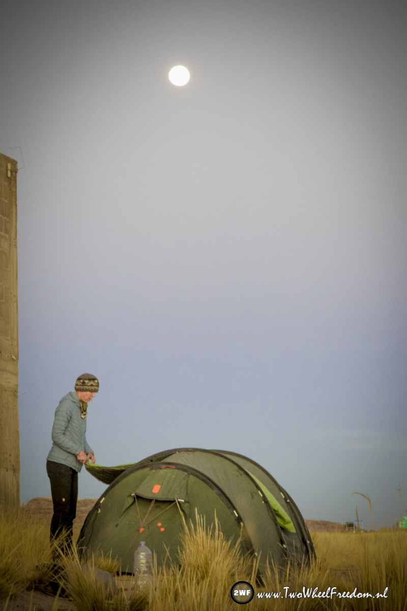
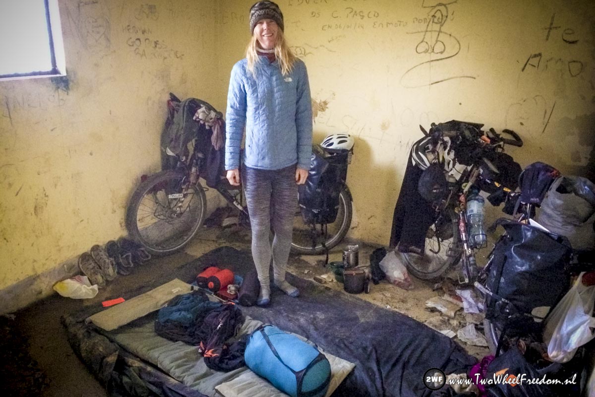
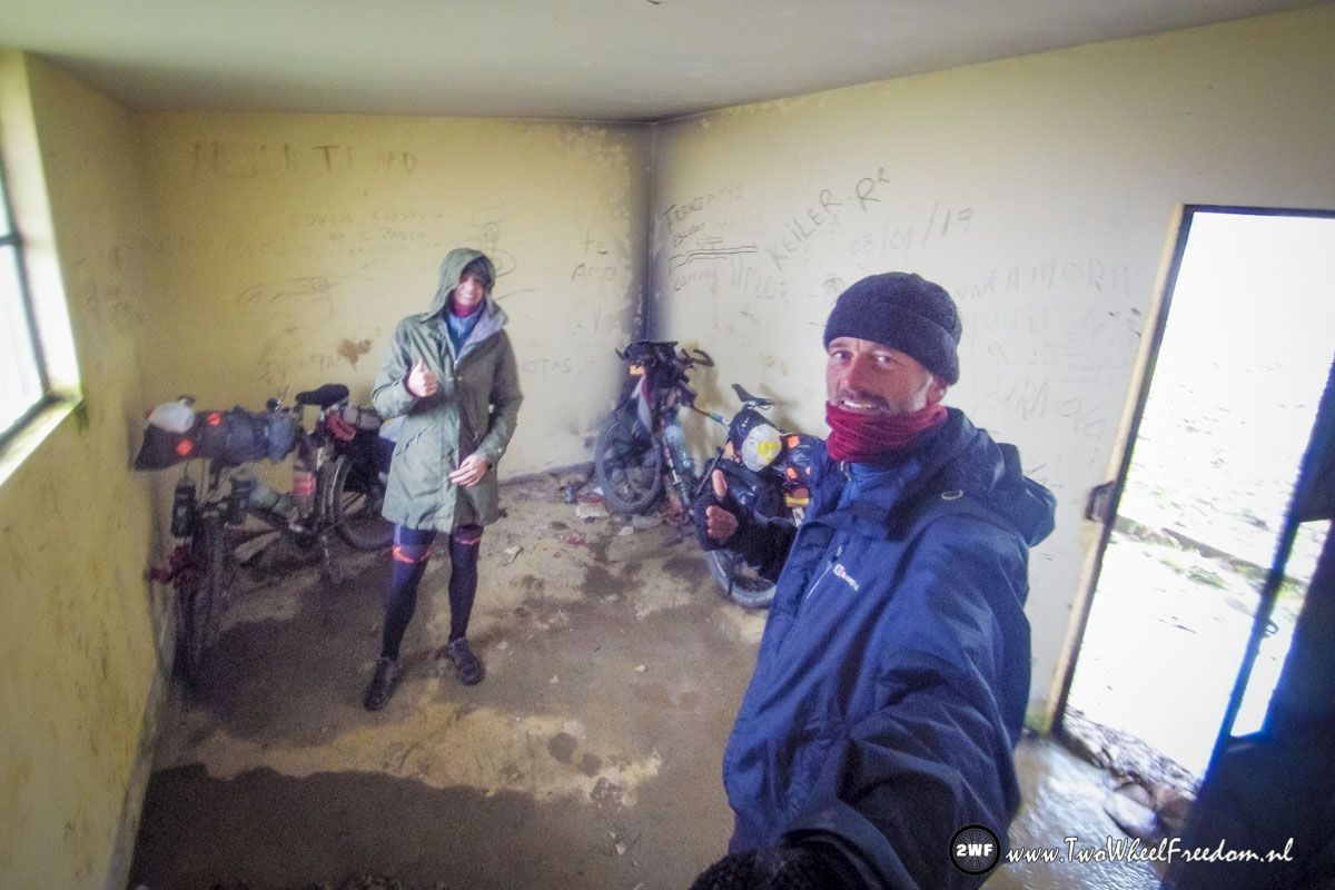
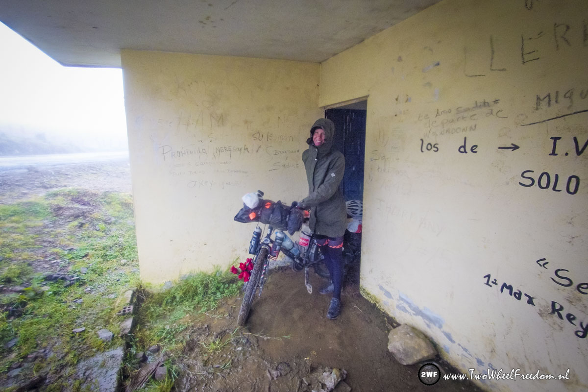
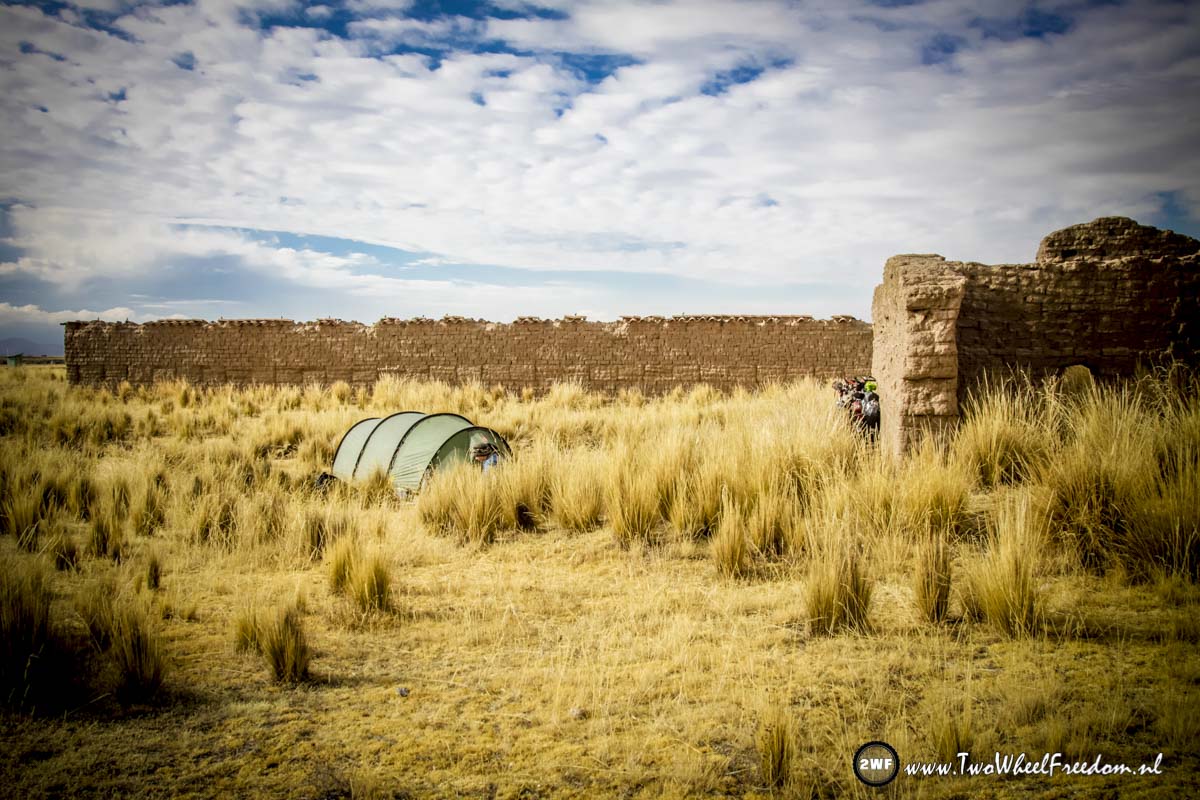
But found one behind an ugly wall.
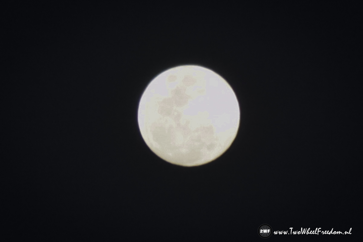
Full moon tonight.
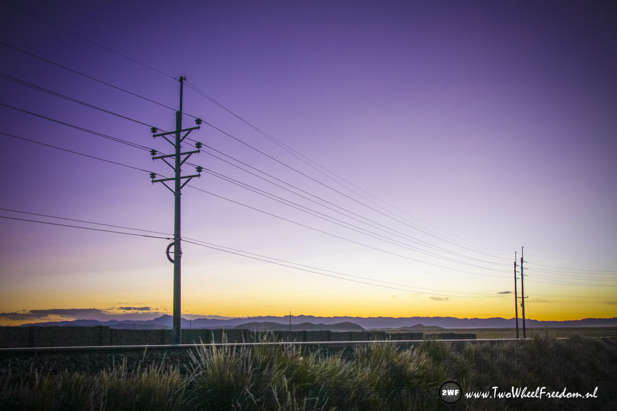
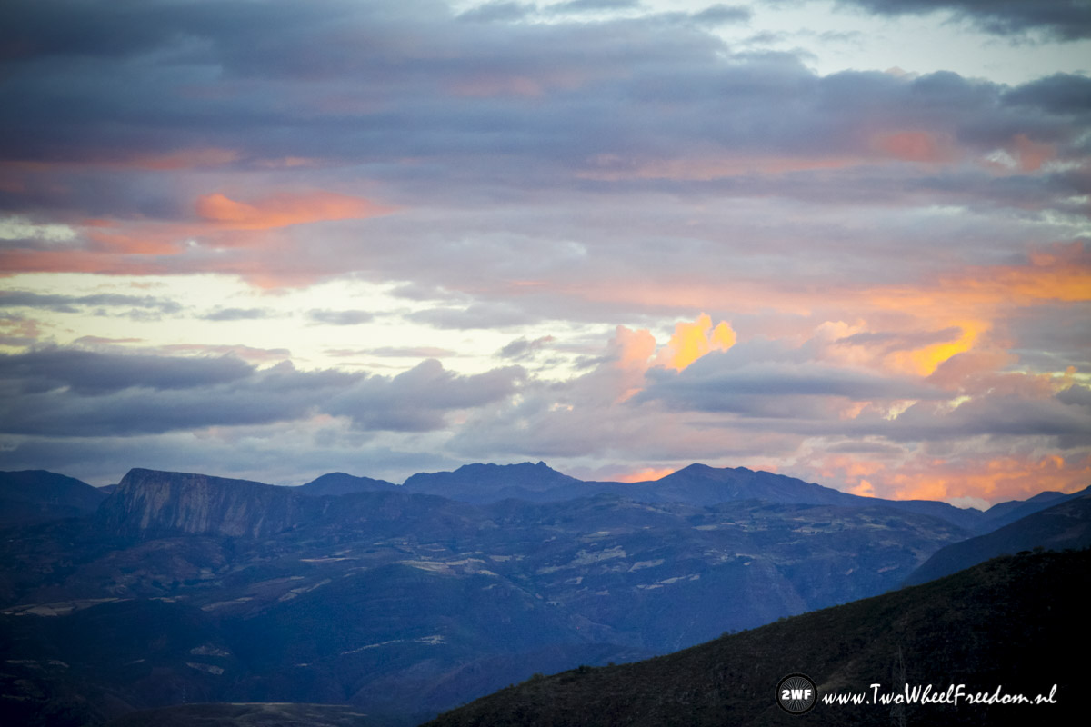
Beautiful sunset over the train track in the front.
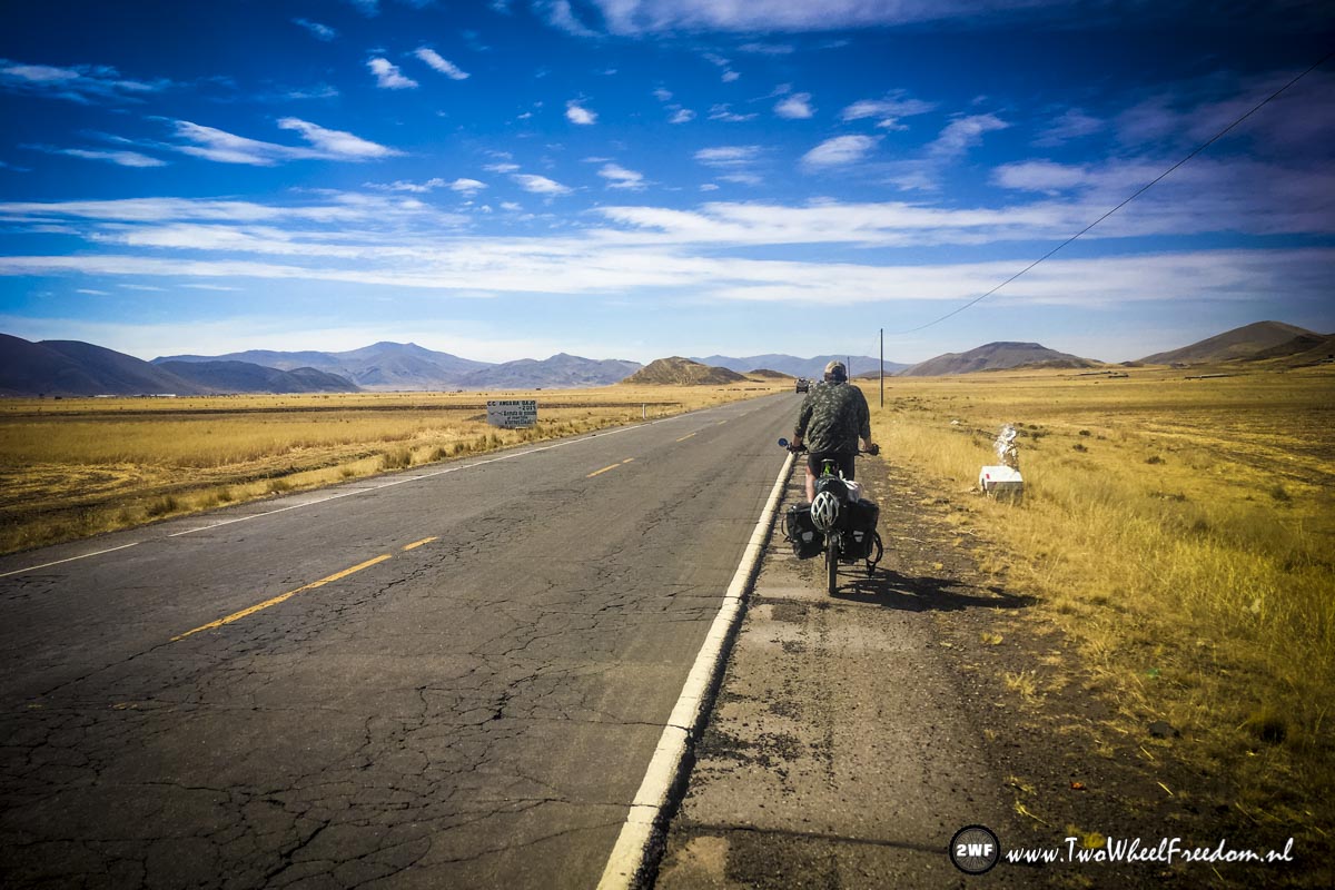
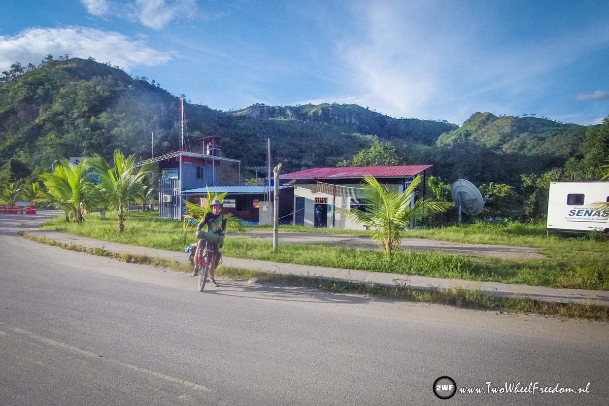
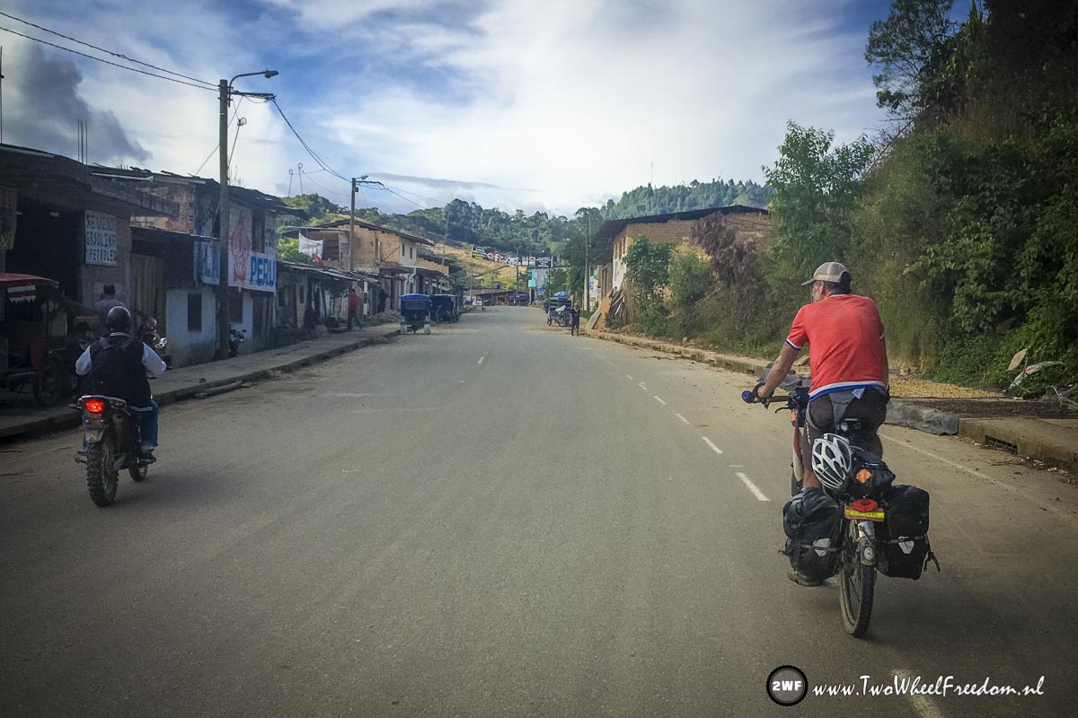
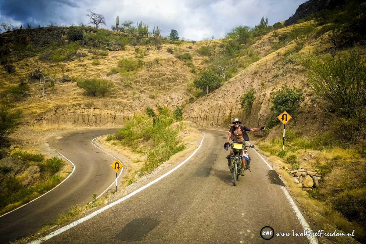
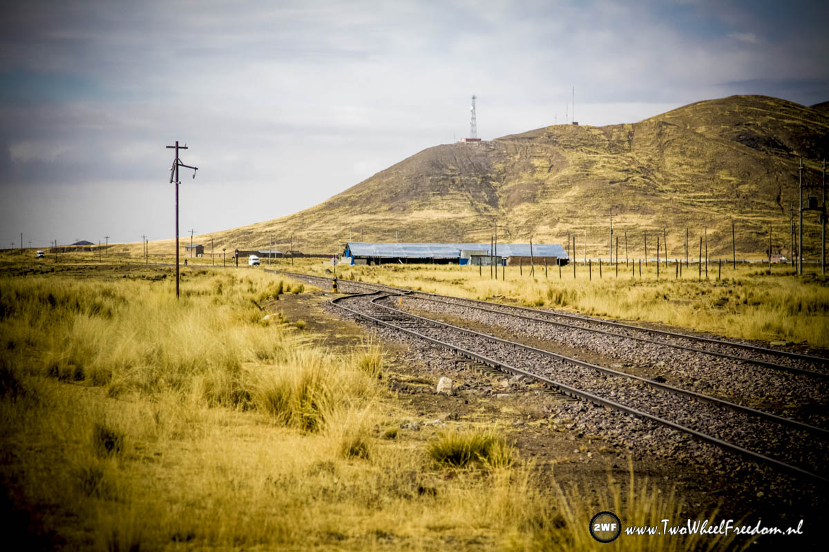
On the road again.

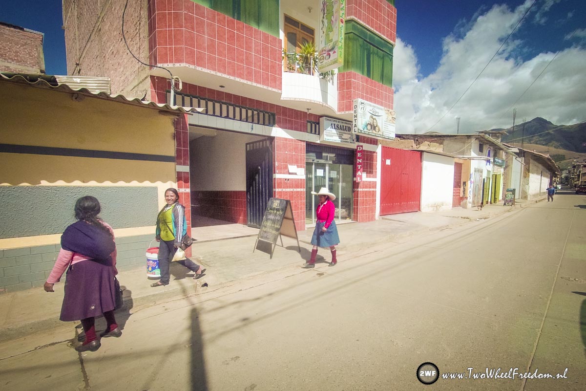
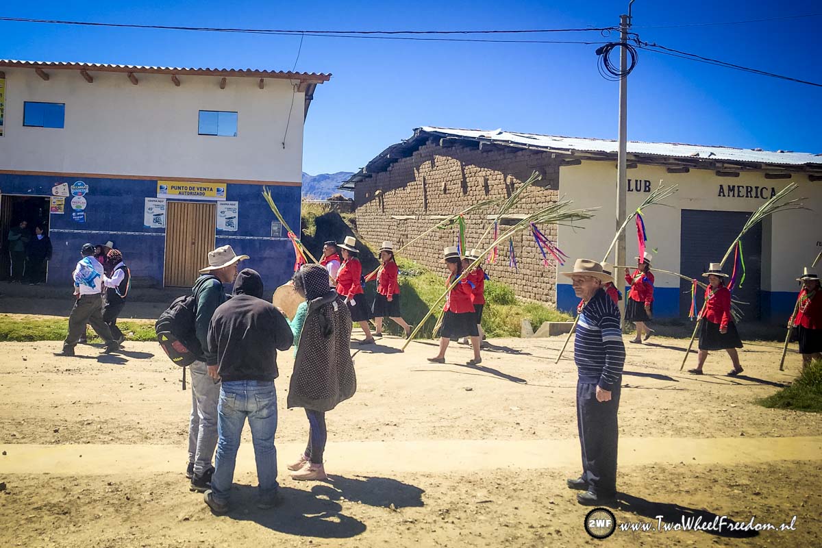
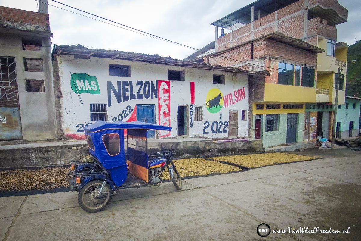
A big market in a small village. Sheepskins for sale.
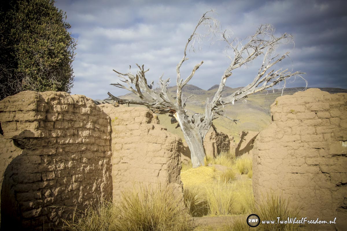
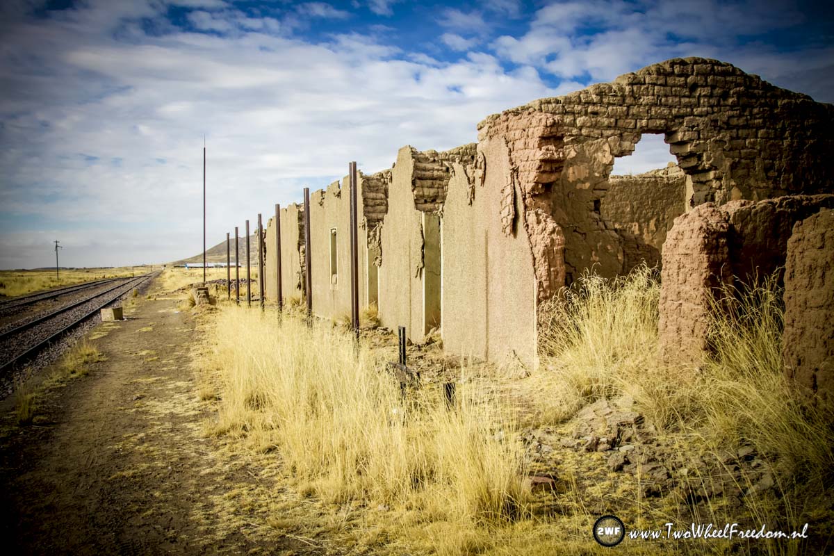
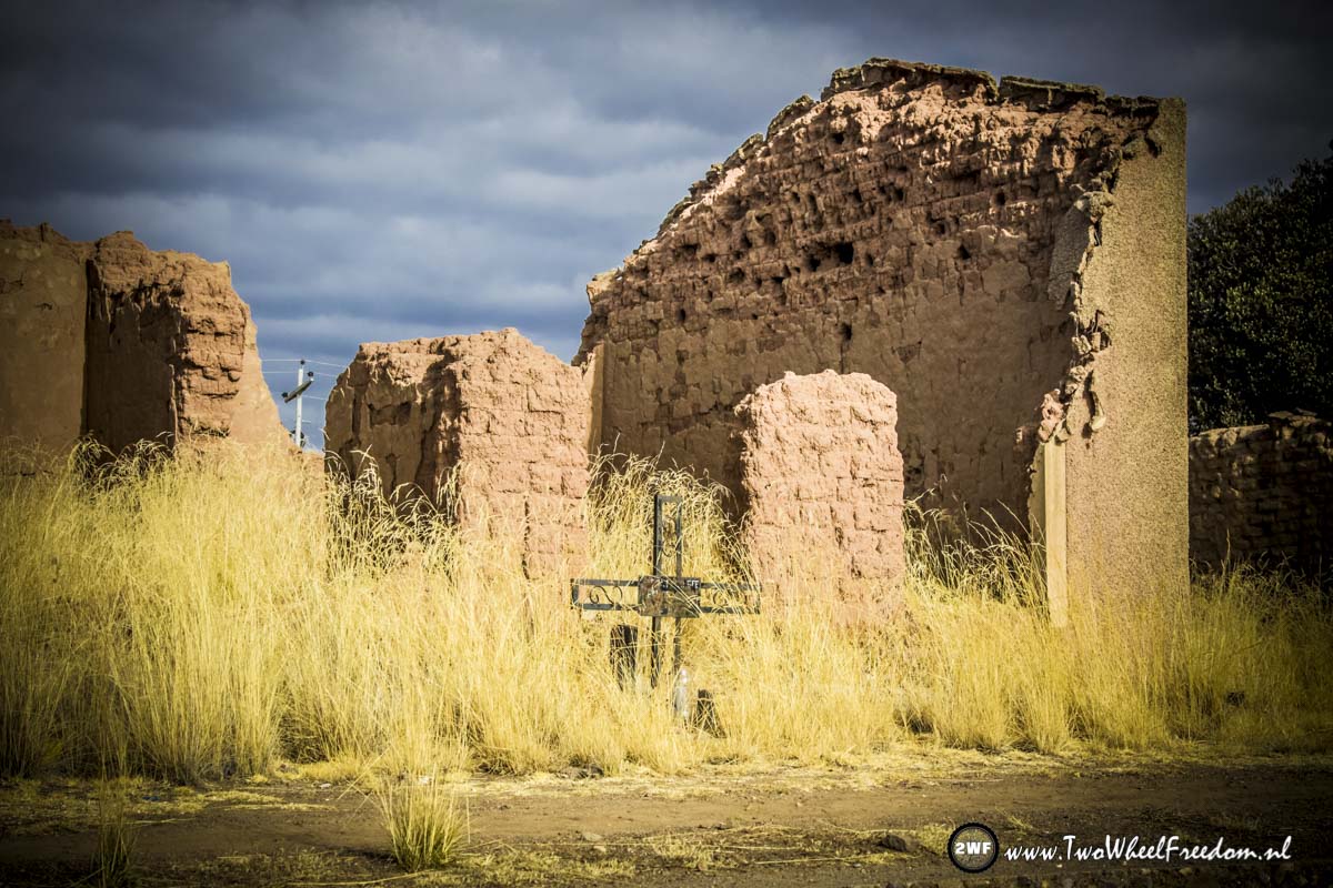
Camp at an old abandoned train station.
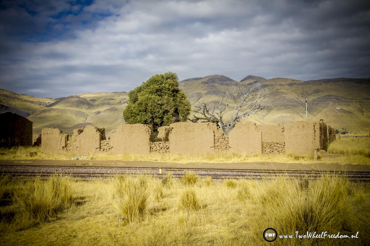

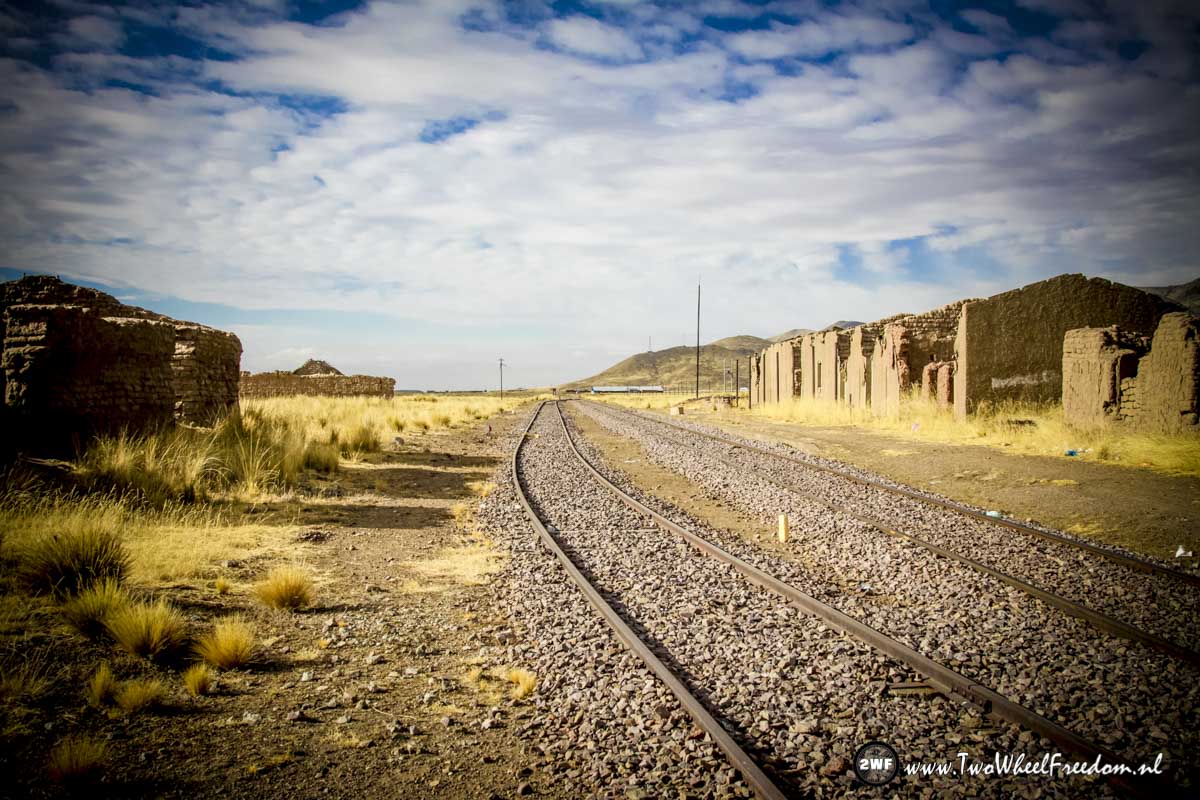
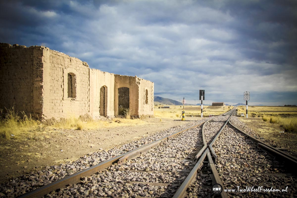
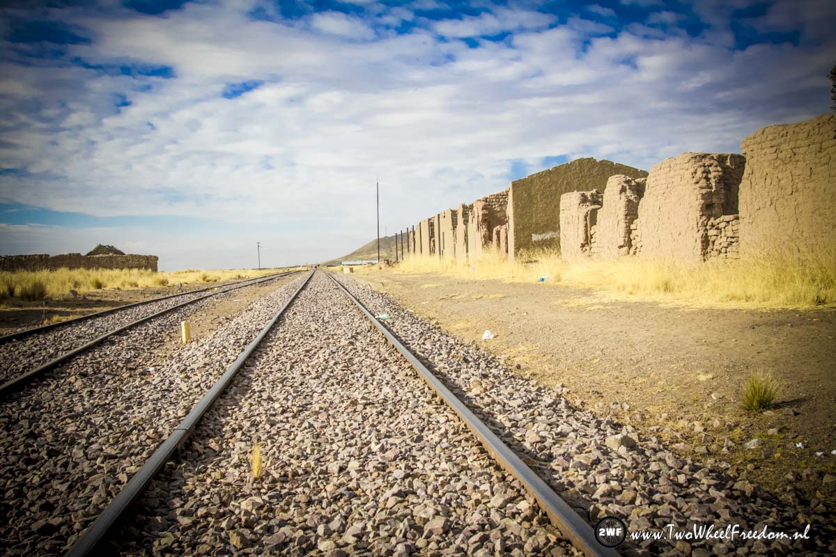
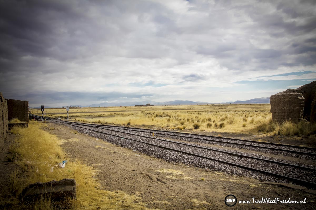
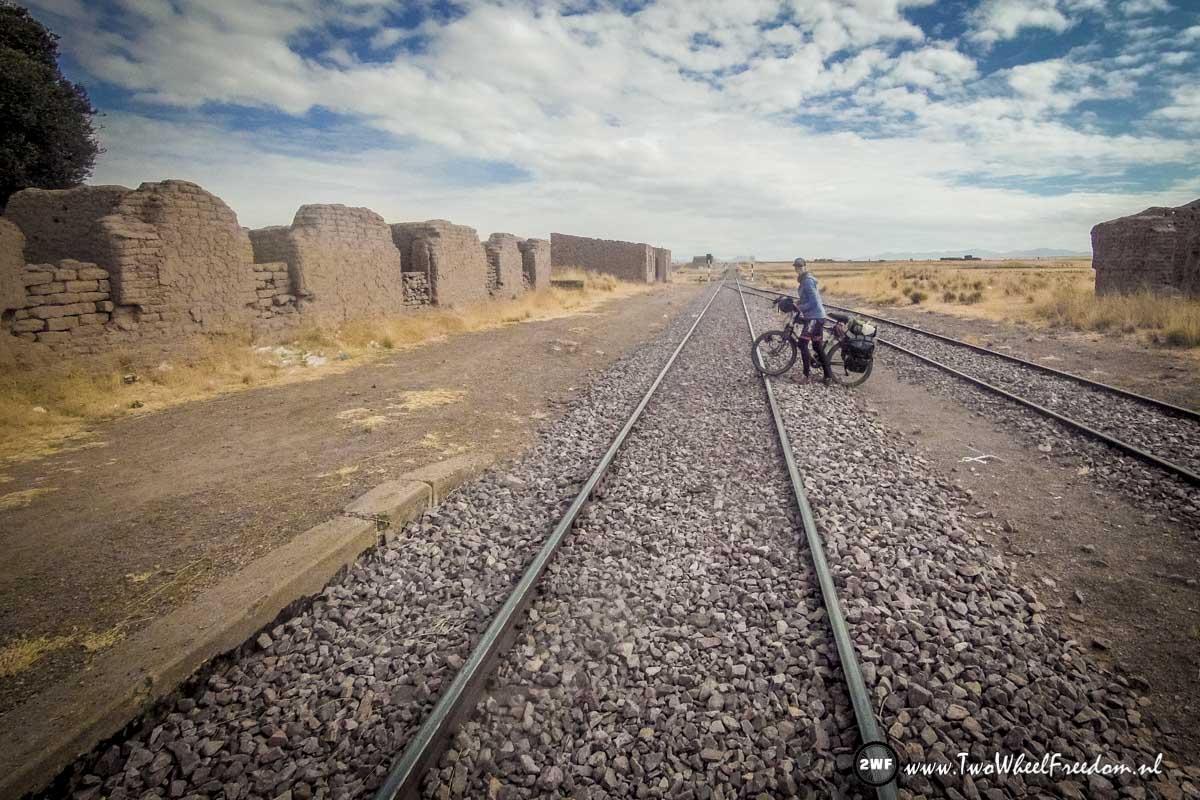
Leaving the trainstaion again the next morning
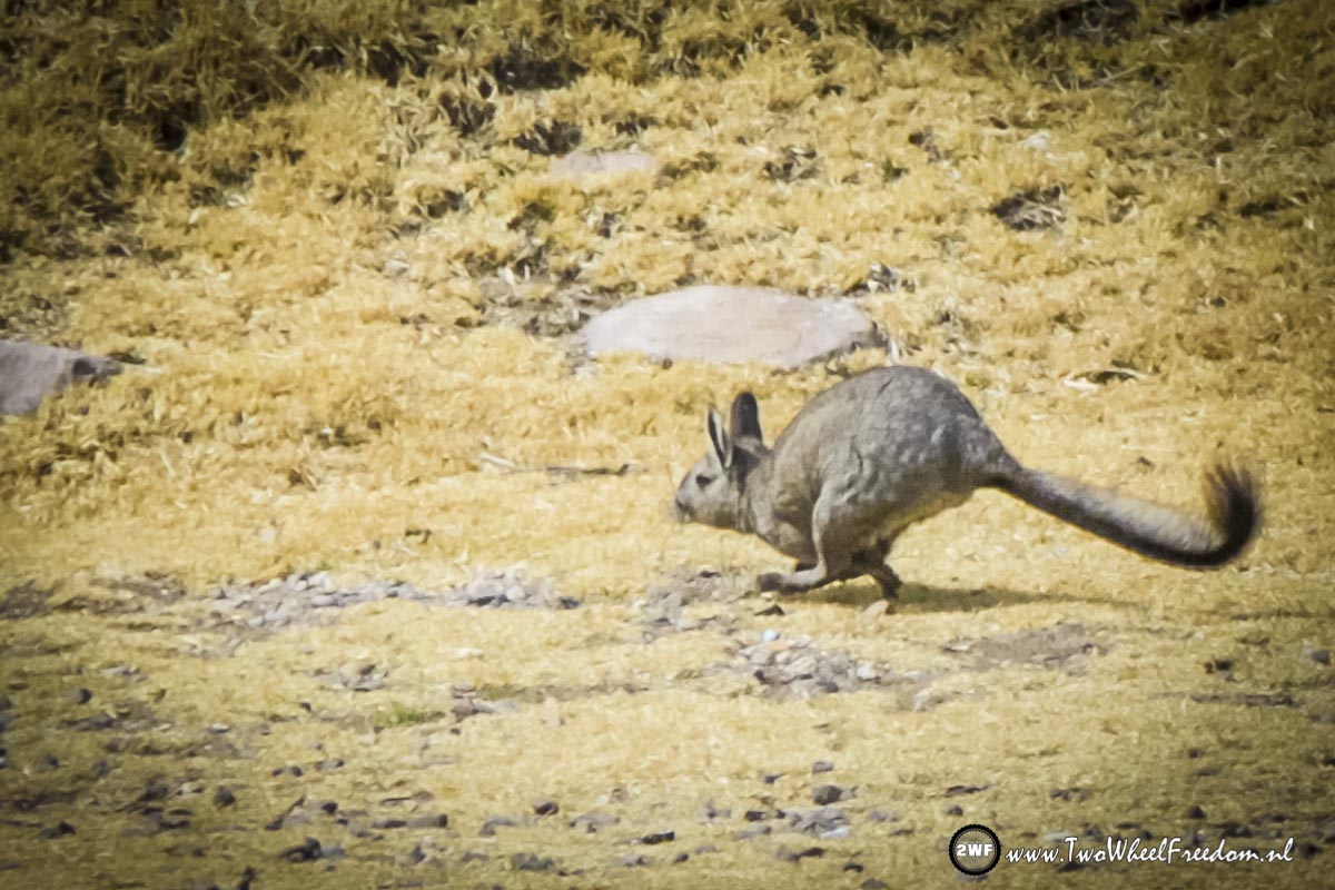
Kangaroo? Rabbit?
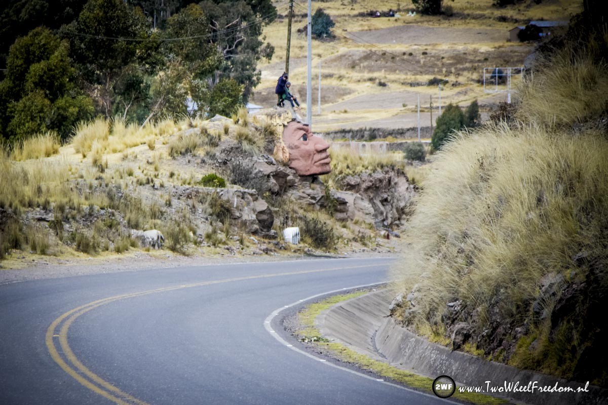
Big brother is watching us.
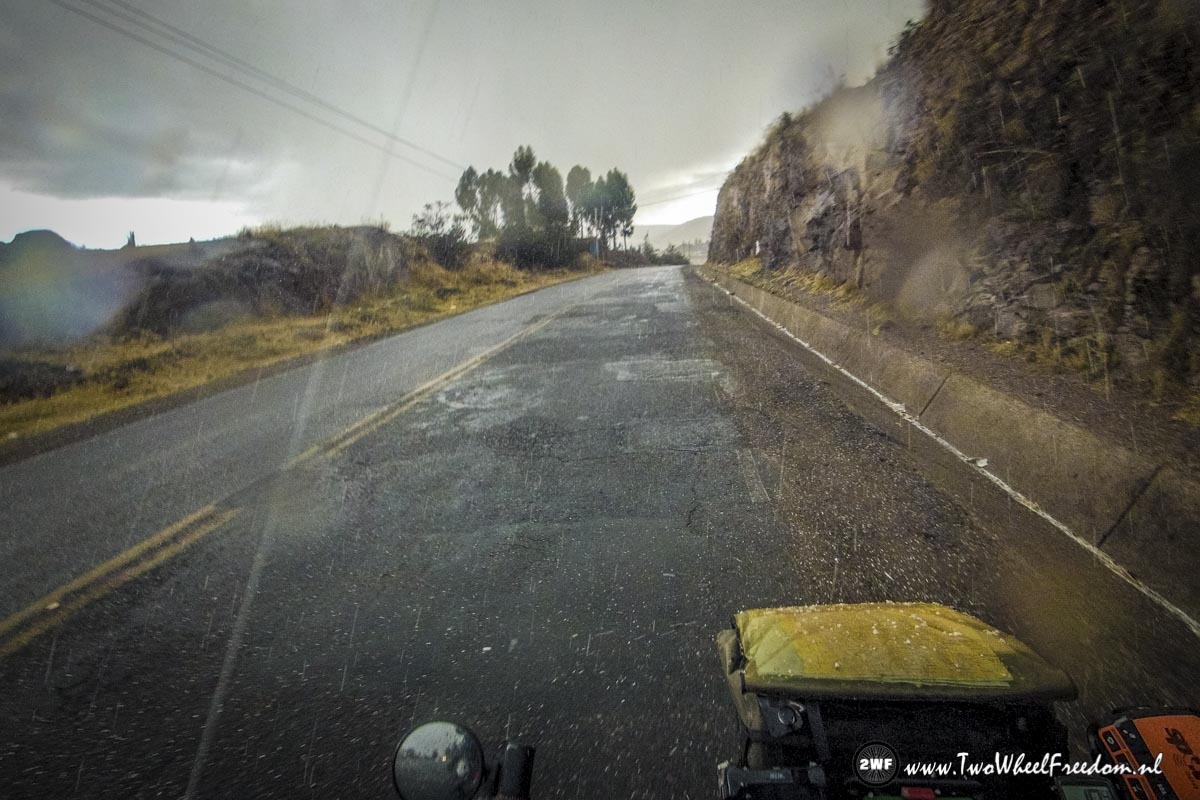
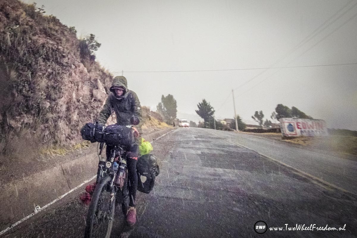
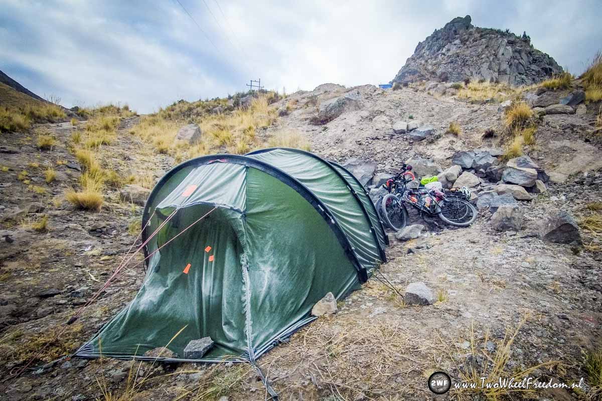
Rain at lake Titicaca.
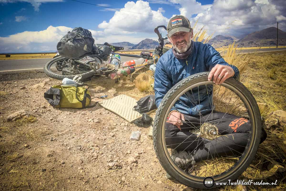
Another flat.
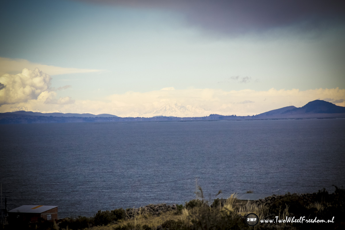
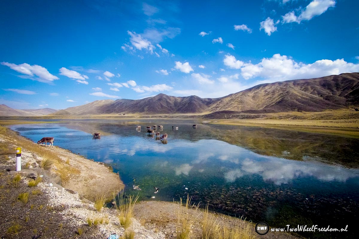
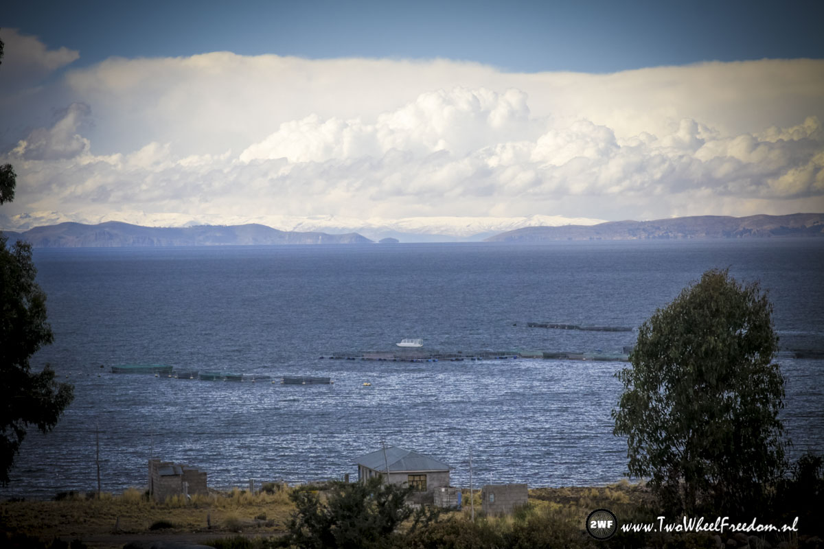
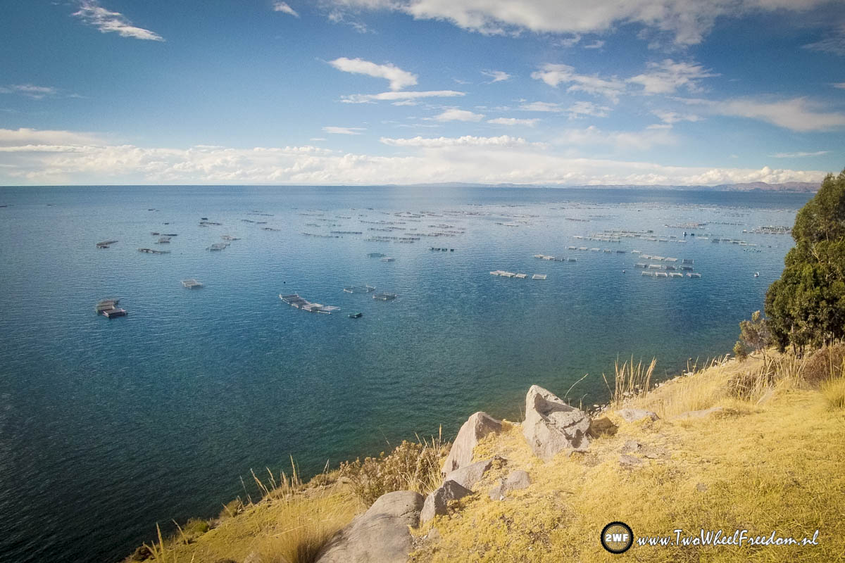
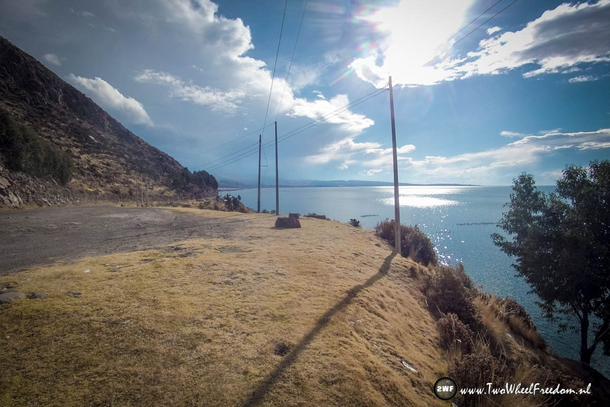
Lake Titicaca.
The snowy mountains of Bolivia in the far distance.
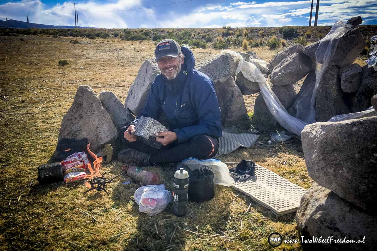
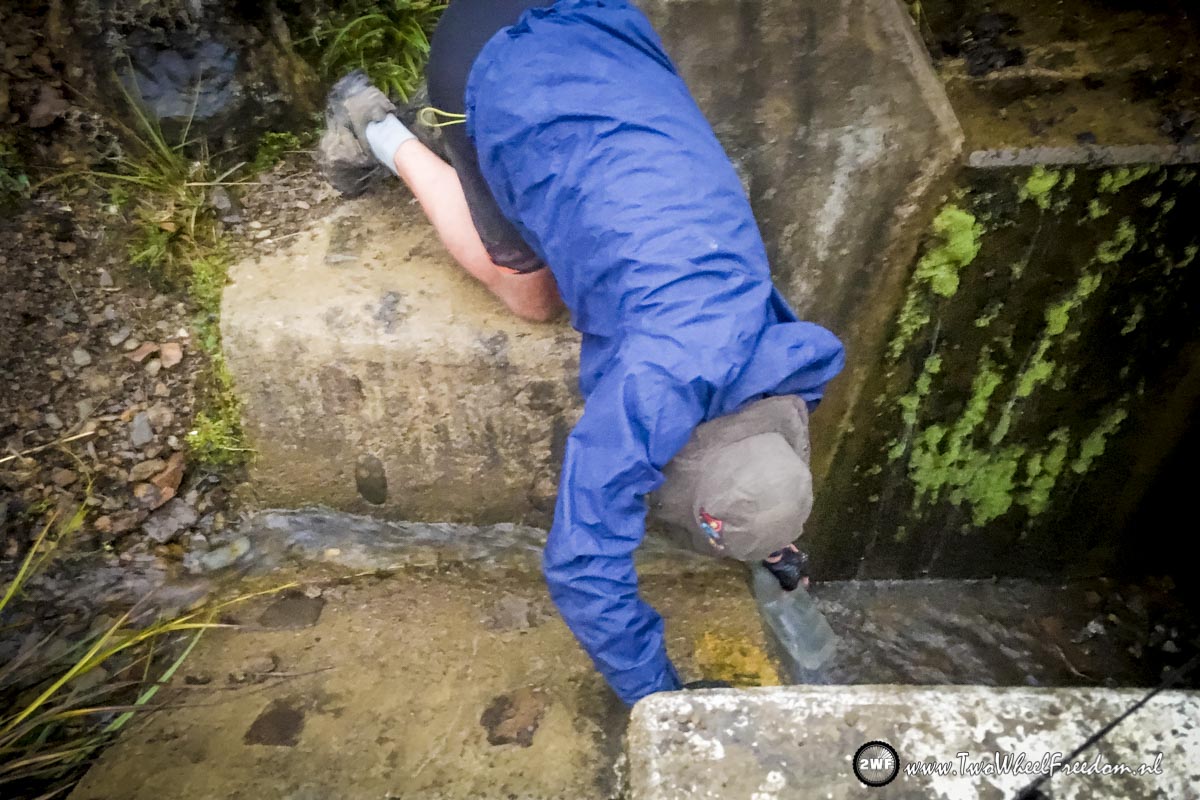
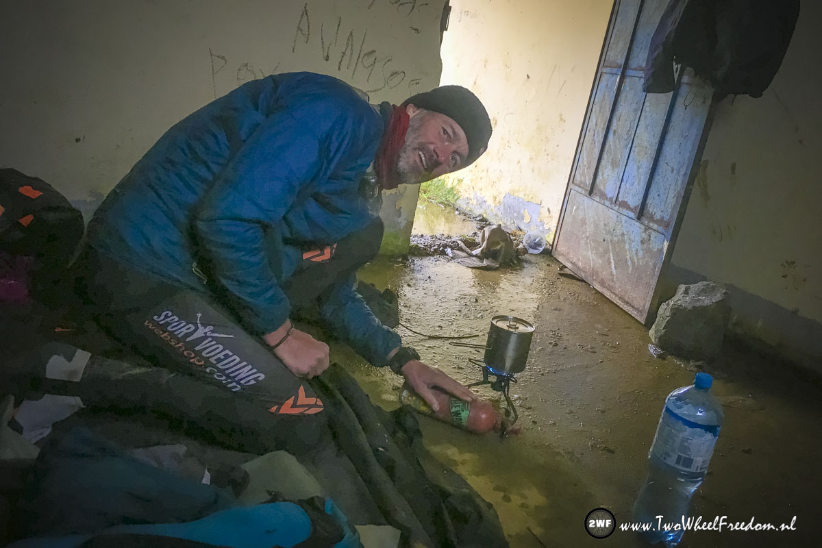
Lunchbreak. Around the lake it’s very windy so we cook our noodles behind a small stone wall.
Fishing nets.
Hi, come inside, it’s nice and warm here!!!
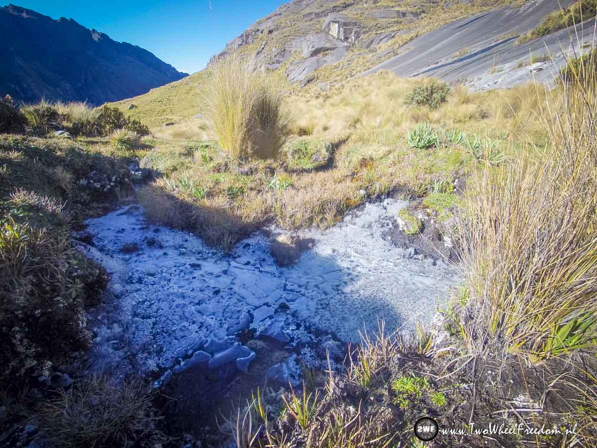
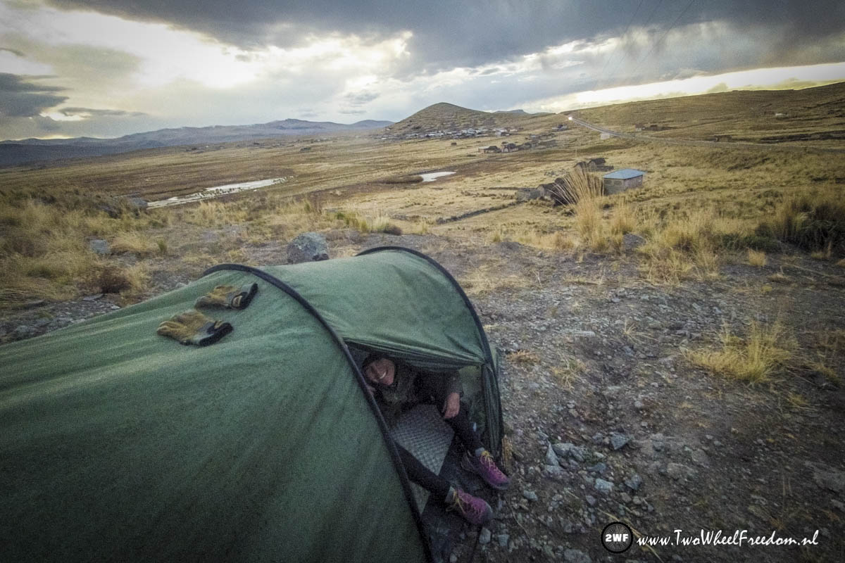
It froze last night.
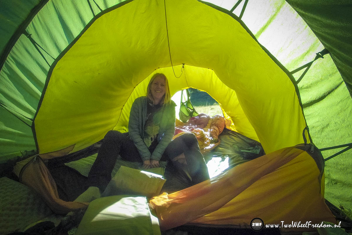
White tent.

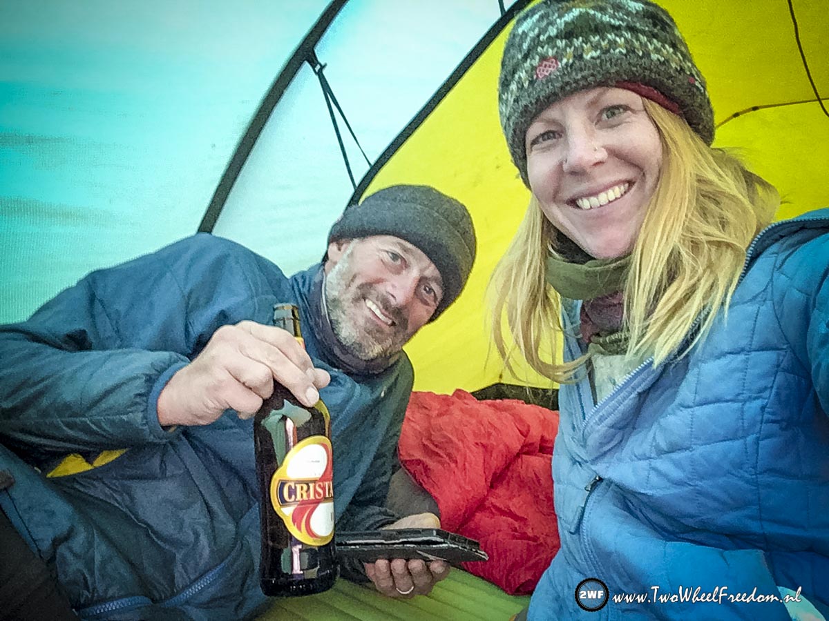
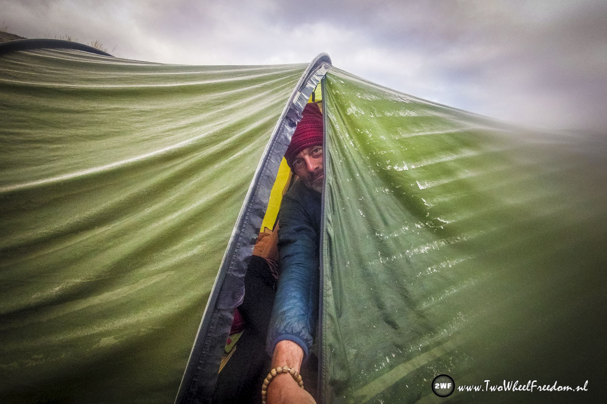
Brrrrr cold but hot tea and an euhmmm… nice hat 😀
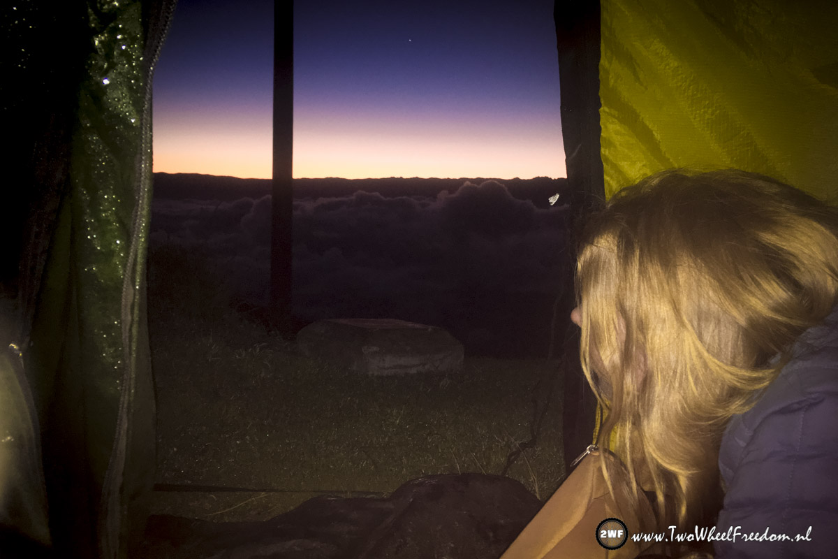
But with a view. Again 🙂
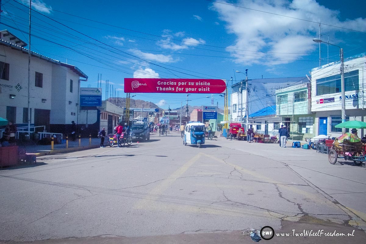
Bye bye Peru, it was nice visiting you for the last 2,5 months.
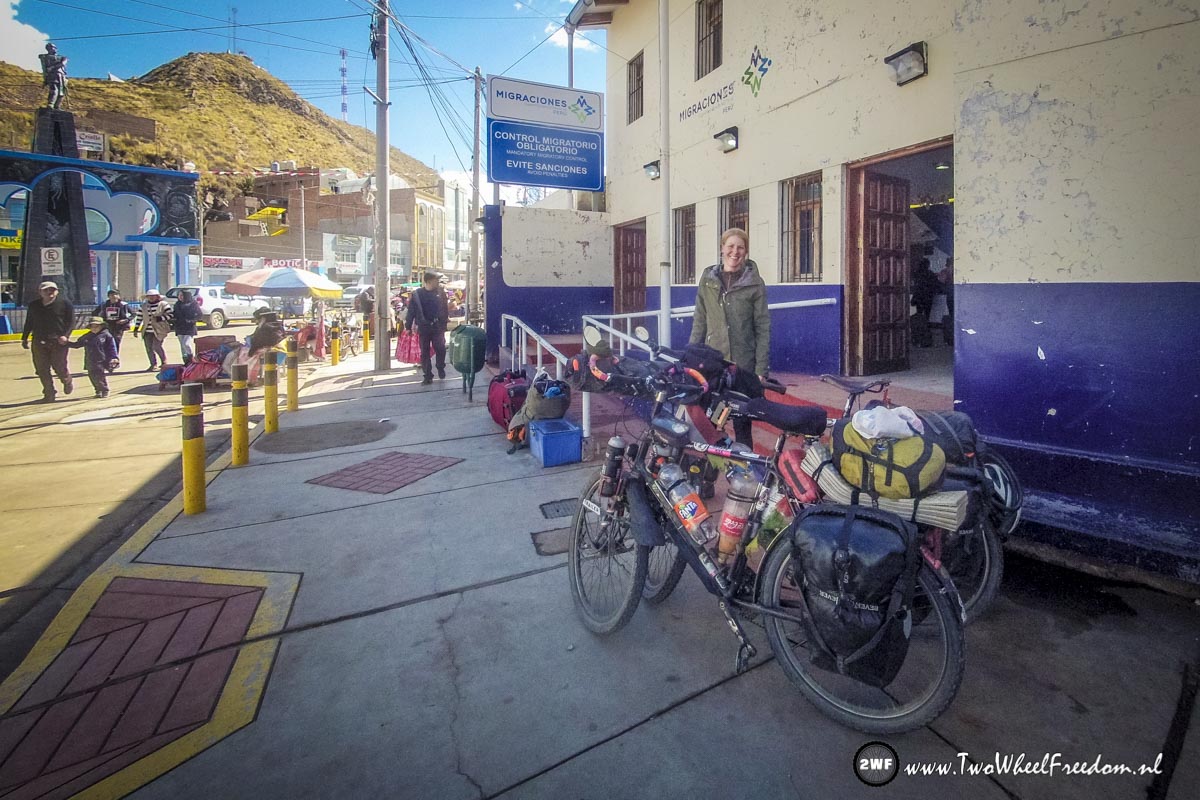
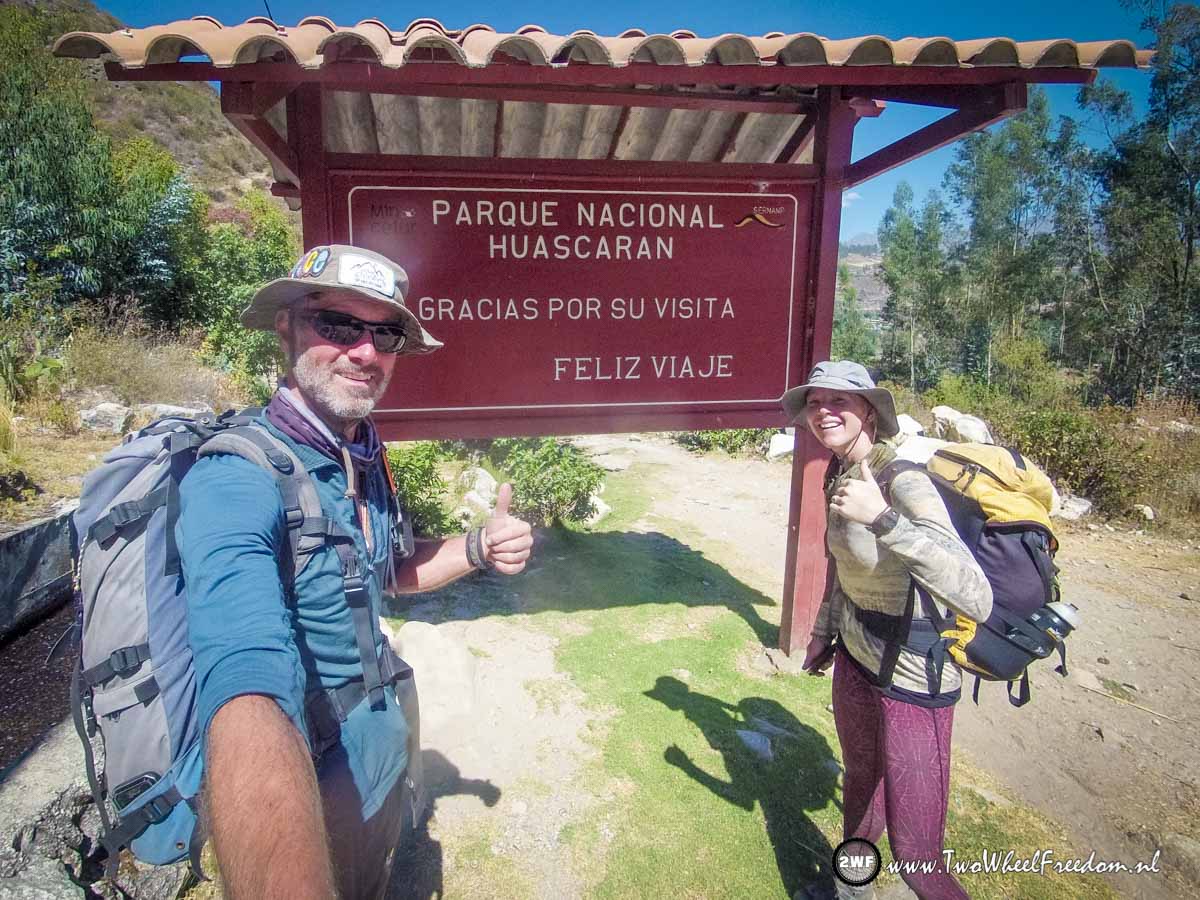
Checking out of Peru, into Bolivia.
Thanks for reading, we love you all!!!