At the boat dock an old man is selling the tickets. After purchasing he directs us to the immigration desk where the lady tells us we have to pay another 40B$ per person for departure tax.
Since we figured out to leave the country with as less local currency as possible we don’t have the extra 80B$ anymore. (80B$ = $40 US)
The immigration desk doesn’t have a credit card machine so Arjan takes off to an ATM cash machine back in the town center to get the extra dollars.
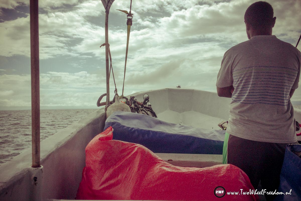
After the taxes are paid we continue to the next desk where we get the right exit stamps in our passports. With new stamps in our passports we ride to the dock where the boat is waiting for us. A pretty small boat for crossing open sea we figure. It’s still raining and the boat looks like we will be soaking wet in a few minutes. It has some sort of roof but for the rest it is completely open.
We depart a half hour after scheduled but by that time it’s nearly dry.
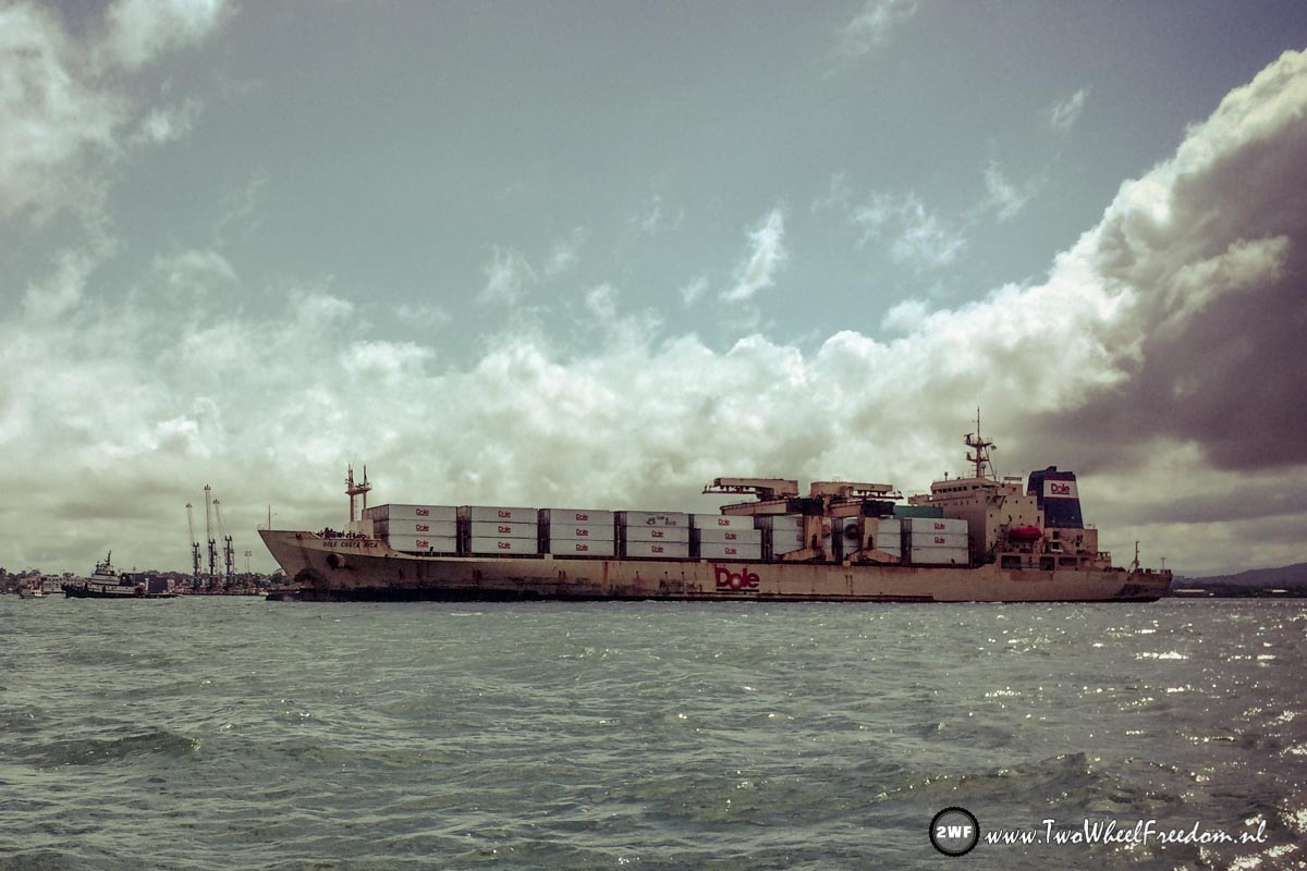
The boat ride goes fast and rough but half way the sun starts shining and we feel good. The Guatemala mountains show up in a distance, we see some huge container ships passing and after more than an hour in the water taxi we arrive in Guatemala.
At the dock we take our bikes out of the boat again and start cycling. After not even a minute Kim concludes we didn’t see any Guatemala immigration desks, our passports are not stamped at all and we’re on our bikes already. Cycling around the country without the correct passport stamps might give big problems.
We have to figure our where to get the stamps as soon as possible!
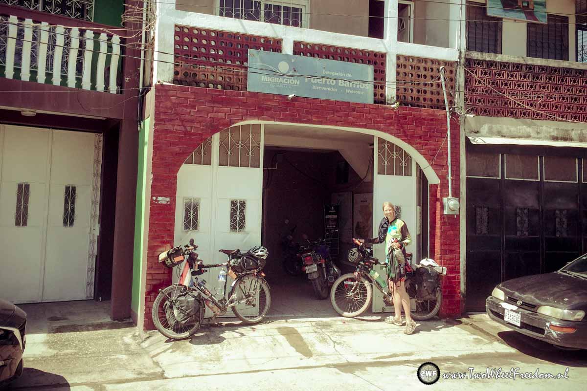
After some asking around some guys point us in the right direction. A small village road leads us to the immigration office, a few hundred meters from the boat dock. Central American logics we guess.
Stamps; check. Next thing to get is Guatemala money. We expected to find an ATM close to the boat docks but there isn’t any. We start cycling and after two closed down banks we finally find an ATM which spits out hard currency.
Stamps; check
Money; check
Next thing to organize is something to eat.
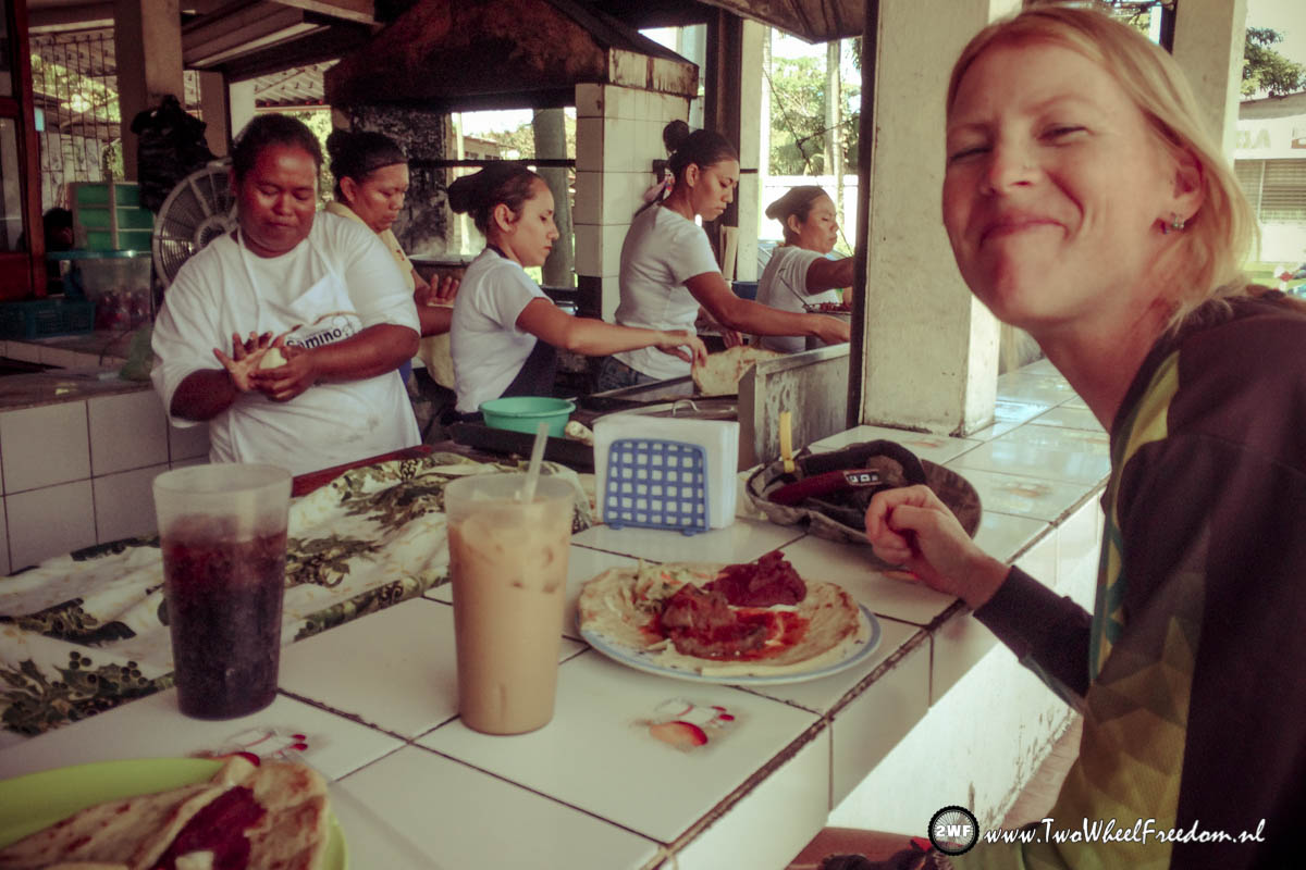
We leave the bank and at a local food bar we try out the Guatemala dish. A very nice and big burrito including drinks cost €2 per person. That’s a lot cheaper than Belizean food. We eat full and Kim tries out an other local fresh fruit drink. Caña. Taste a little like peanut butter but very refreshing.
Stamps; check
Money; check
Filled up belly; check
Finally our Guatemala adventure can start.
We cycle out of town, up to the countryside.
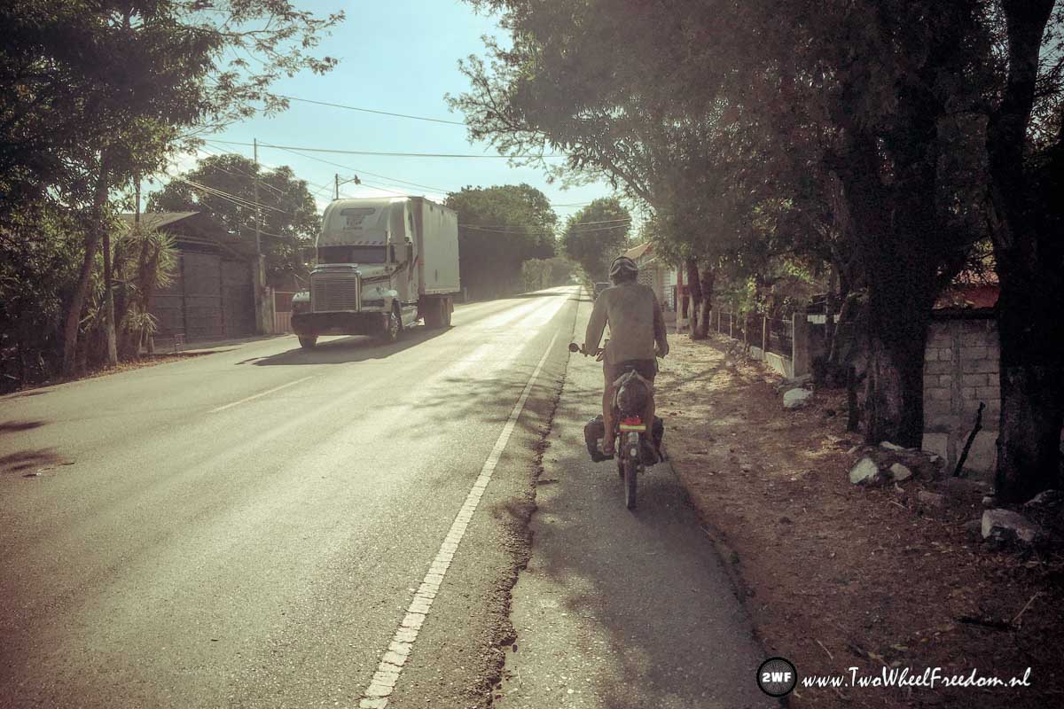
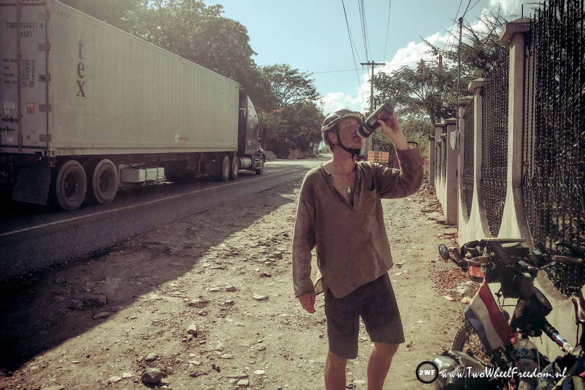
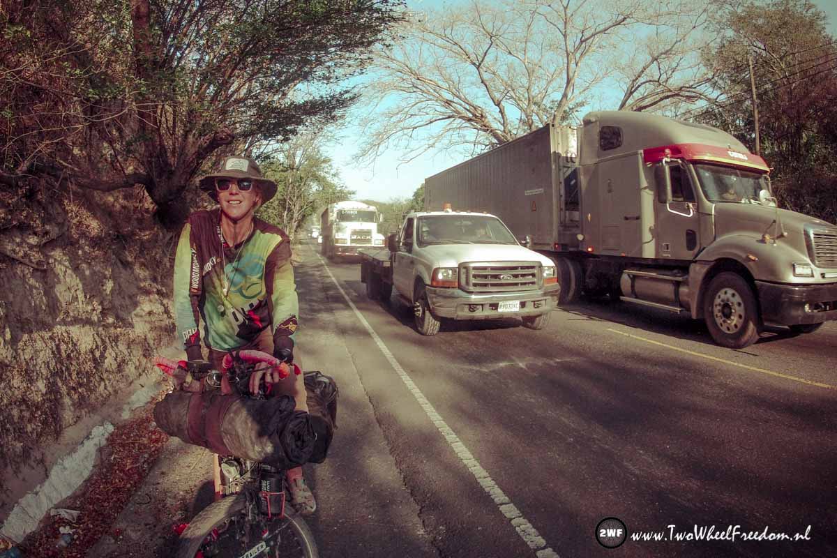
Despite it’s Sunday the road is quite busy and container trucks passing all the time.
Dole, Maersk and Chiquita are the three big brands using this road with their big trucks.
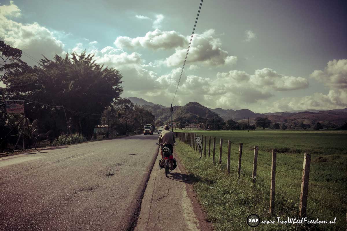
Luckily the road has some sort of shoulder most of the time where we can cycle on, so we continue. The scenery is beautiful, the road winds through green hills and small villages. In a few of these villages we stop for a drink and a snack. We chat with local people who drinking their Sunday beers in front of the shops. People like to wave and talk to us as they probably see us as entertainment. We don’t mind, they entertain us as well and it is a nice way for us to get to learn and know a new country.
At the end of the afternoon we arrive in the small town of Morales where we find ourselves a cheap hotel for the night.
The next day it’s Monday, we hope the road is not even busier than yesterday. On the map we found an other smaller road which leads also south, our direction.
When we cycle out of town we pass a small bakery where we buy some delicious cakes and bread.
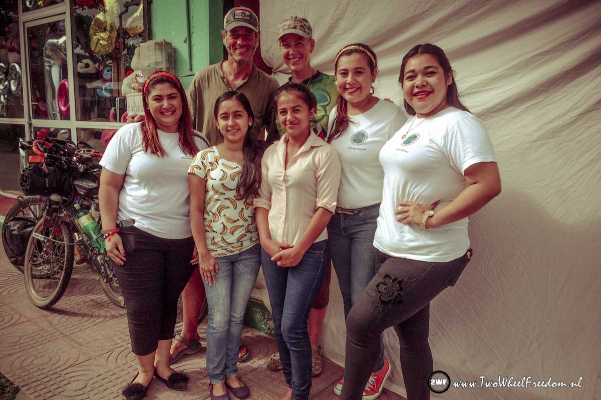
Outside the bakery we bump into a bunch of girls who start talking with us and want on the photo with us and our bikes.
A real photoshoot follows and tens of pictures later we can say goodbye and continue our cycling.
We find the smaller alternative road which looks good and quiet and we start following it.
After a while the nice road gets more narrow but still ok.
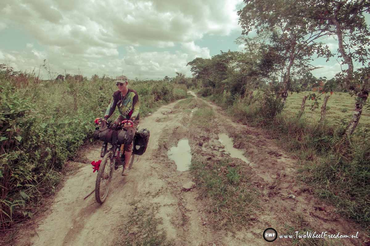
After an extra while the narrow road becomes unpaved.
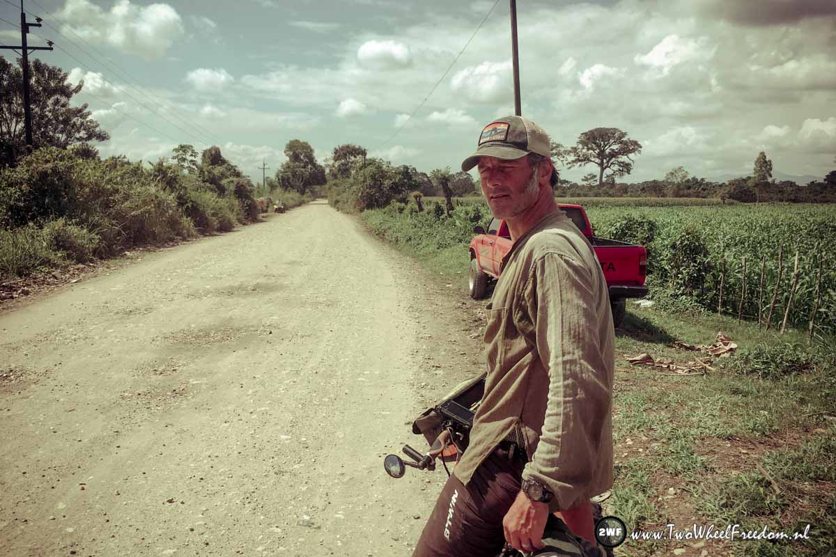
But we find an unpaved bumpy road through small mountain villages better than a busy highway full of big trucks.
After 10km on the dirt road we see a fence with a closed gate in front of us. A roadblock we think.
But it seems the road continues over private land from here. It’s a Dole plantation and the company doesn’t want strangers on their land. We’re not allowed going through. Since there is no way around we have to go back. Big Bummer!
On the Mapy.cz app we find a small shortcut track back to the main road with the big trucks. We cycle back to the last village and go left at the track.
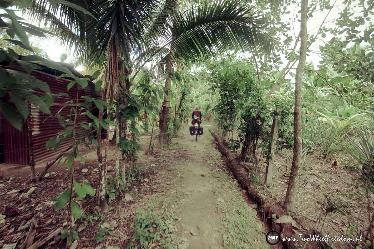
The track goes between houses and winds though the countryside. The further we go the smaller the track is. At one point we cycle into a gate. (Again ?)
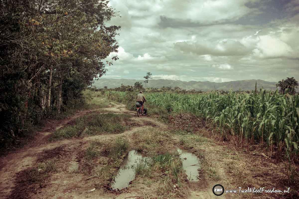
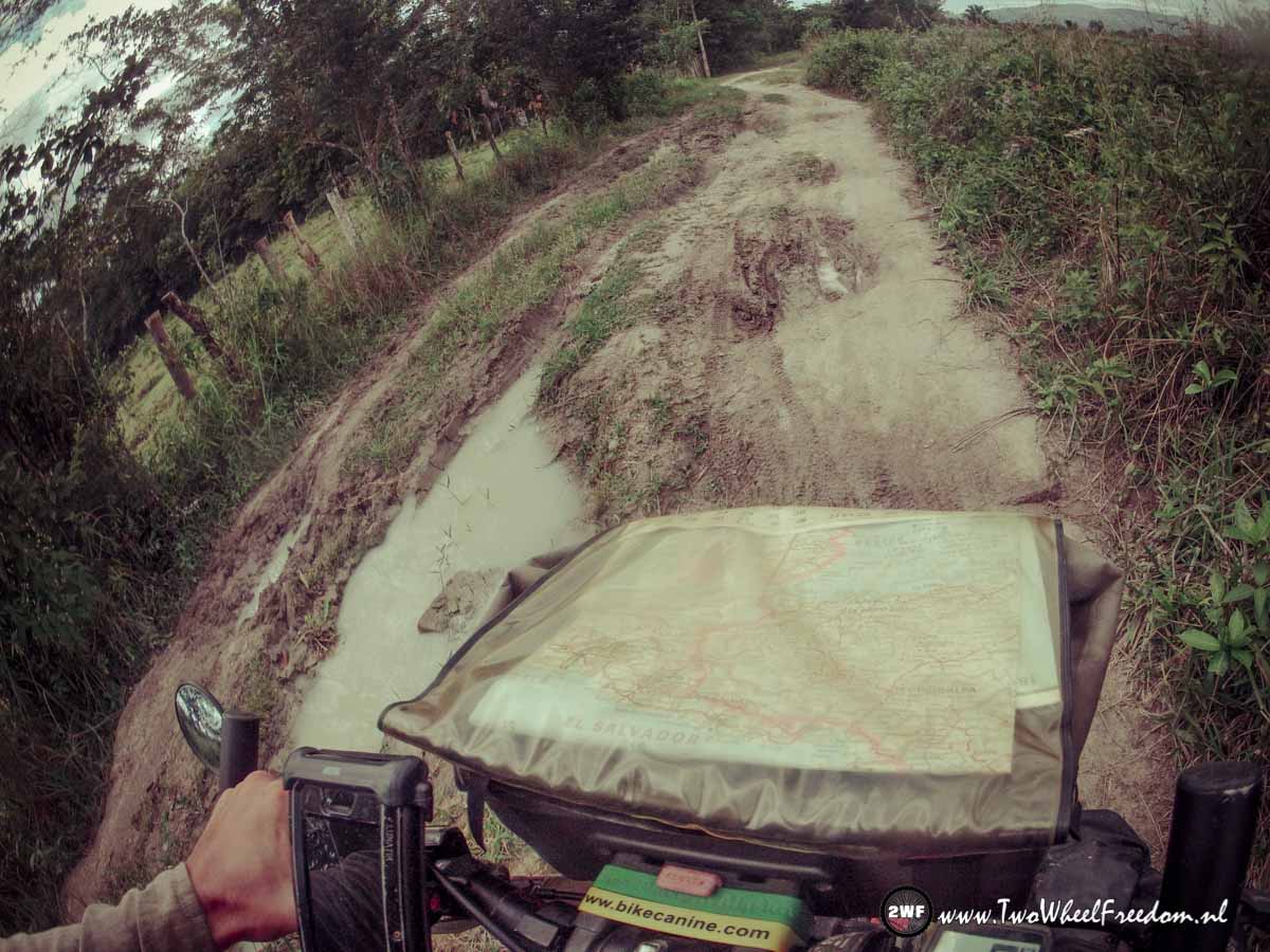
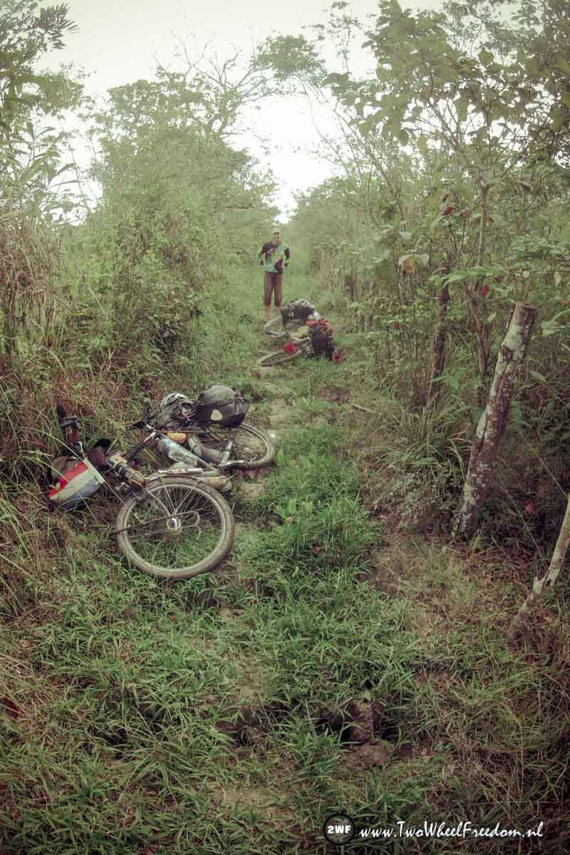
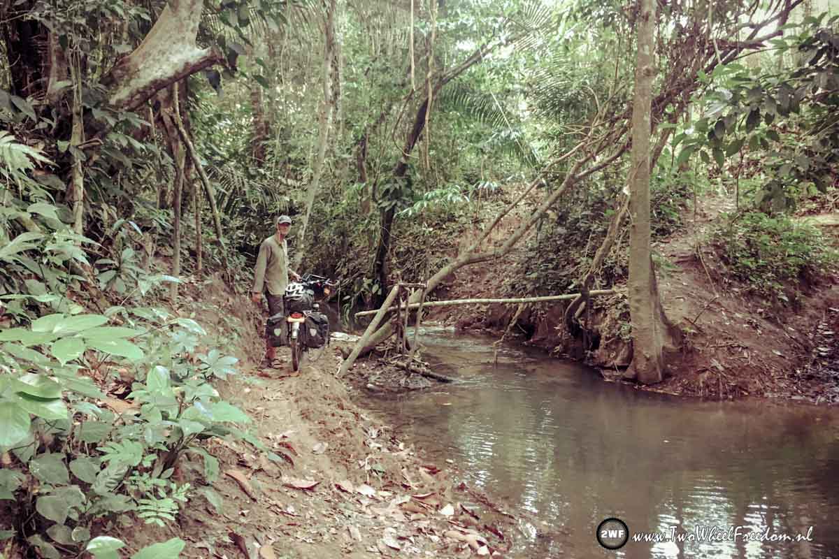
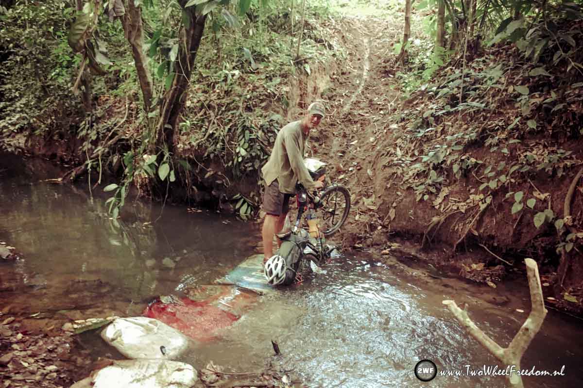
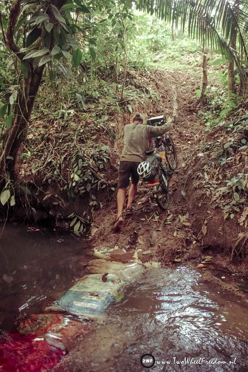
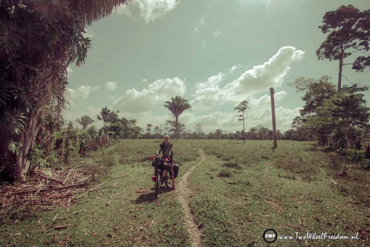
On the left side of the gate is another single track going which is not on the map at all but it goes in the direction of another track which is mapped. We give it a go but also with this one, the further we go, the smaller the track. It ends up in a small single track only used by cows, who made big holes in the track. On most parts we are unable to cycle on it at this point.
What to do? *Take the blue pill; Go back, over the cow track, the small track, the gravel road, the paved road, to the town we started this morning? 30km of hard work back and stay in wonderland.
Or take the red pill; See where this cow track leads to and find out how deep the rabbit hole goes. (*The Matrix)
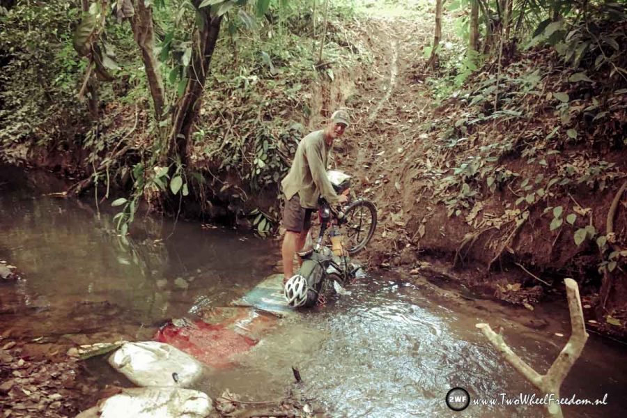
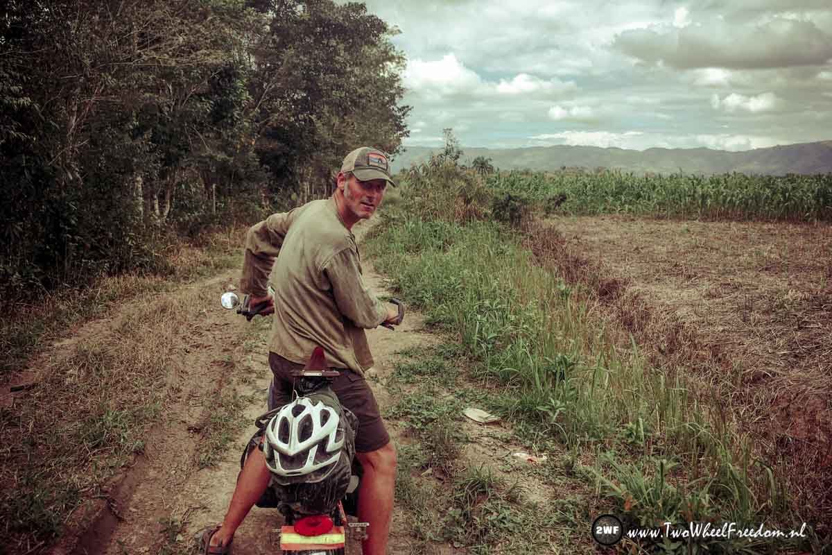
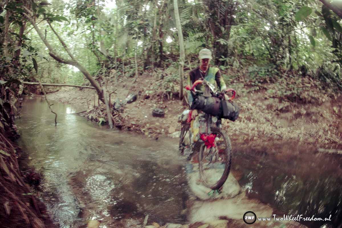
We choose the red pill, see pics underneath where it did lead us…
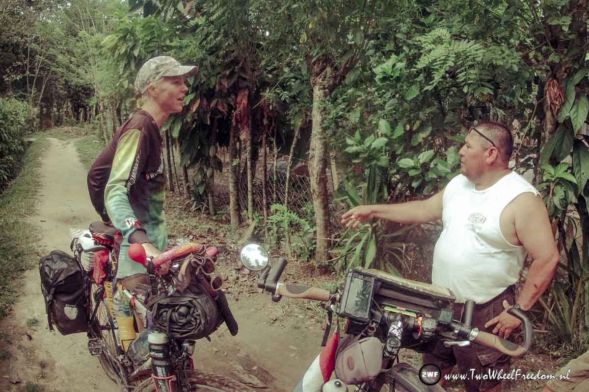
Asking directions at locals.
Even Open Street Maps and Google Maps don’t know these roads and villages.
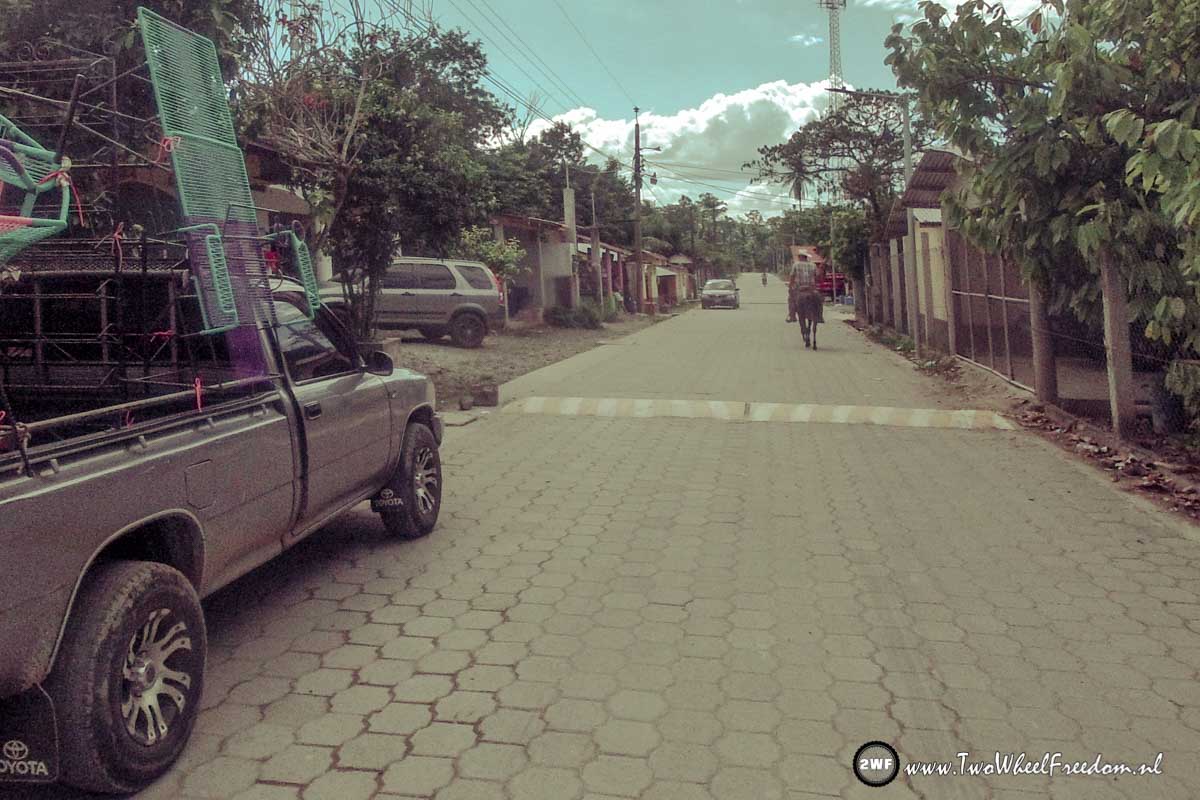
Finally on paved roads again.
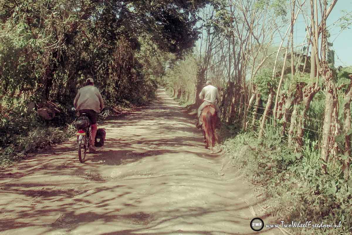
Big 4×4 trucks and man on horses fit in the same street. Some have nothing, some have it all.
After 5km of struggling, wading and pushing hard we’re on the paved main road again.
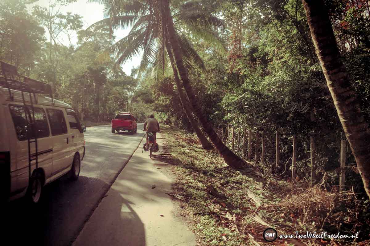
Because it’s Monday now the road is even more filled with cars, busses and trucks then yesterday. Not really fun and most of the time we cycle beside the road for our safety. In this way it still feels like a bumpy dirt track.
At the end of the day we’re done with the cycling and check in at a tiny motel. Today we did only 60km but in 5:30 cycling hours. I think this is one of the days with the lowest average speed of the whole trip so far.
When we leave the place the next morning we don’t want to go back on that highway. Arjan found another secondary road parallel to the highway but after yesterday’s adventure we’re not sure about that. On the map it looks like we can pass through but who knows some big company took over and closed down the road like yesterday?
When we arrive at the junction of the alternative route we see an old lady walking. We ask her if it is possible to follow the road to the next big town? “Yes sure” see says. After asking if the road is not closed or private see gives the same answer again. Ok then, we give it a go. Fingers crossed ?
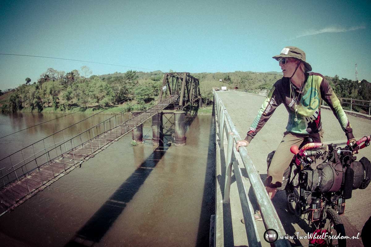
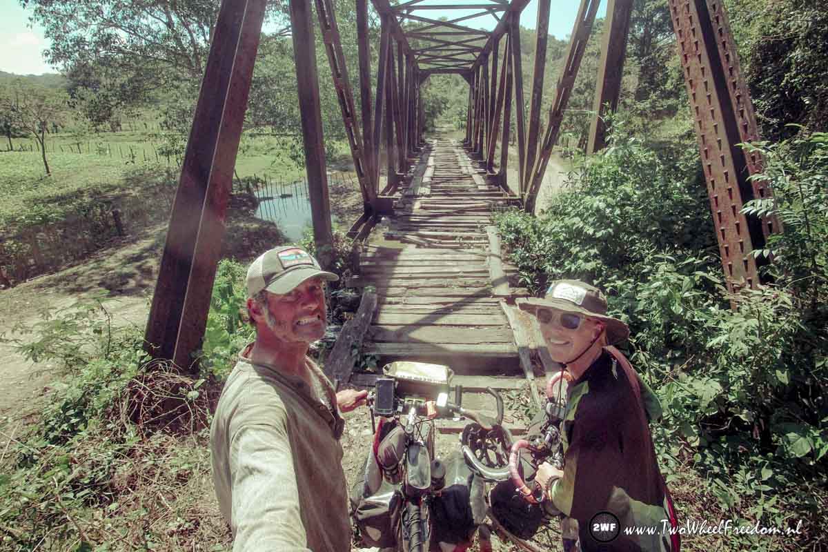
After 2 km or so we pass a big bridge over a wide river.
We take some pictures and a small truck stops. He begins to argue about the route we’re taking. He tells us this is not the common road to take to the next town.
We say him we know and also ask him if it is possible to take this route anyway. He agrees but also tells the road will be a bumpy dirt track most of the time.
With two different people telling us we can pass through we’re quite sure we can.
We wave the friendly truck driver goodbye and continue.
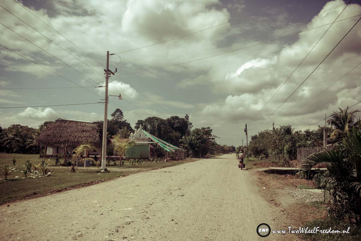
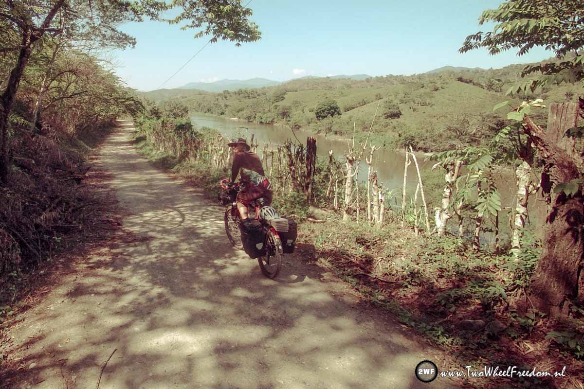
The road indeed becomes a small dirt track pretty fast but the scenery is amazing over the river valley.
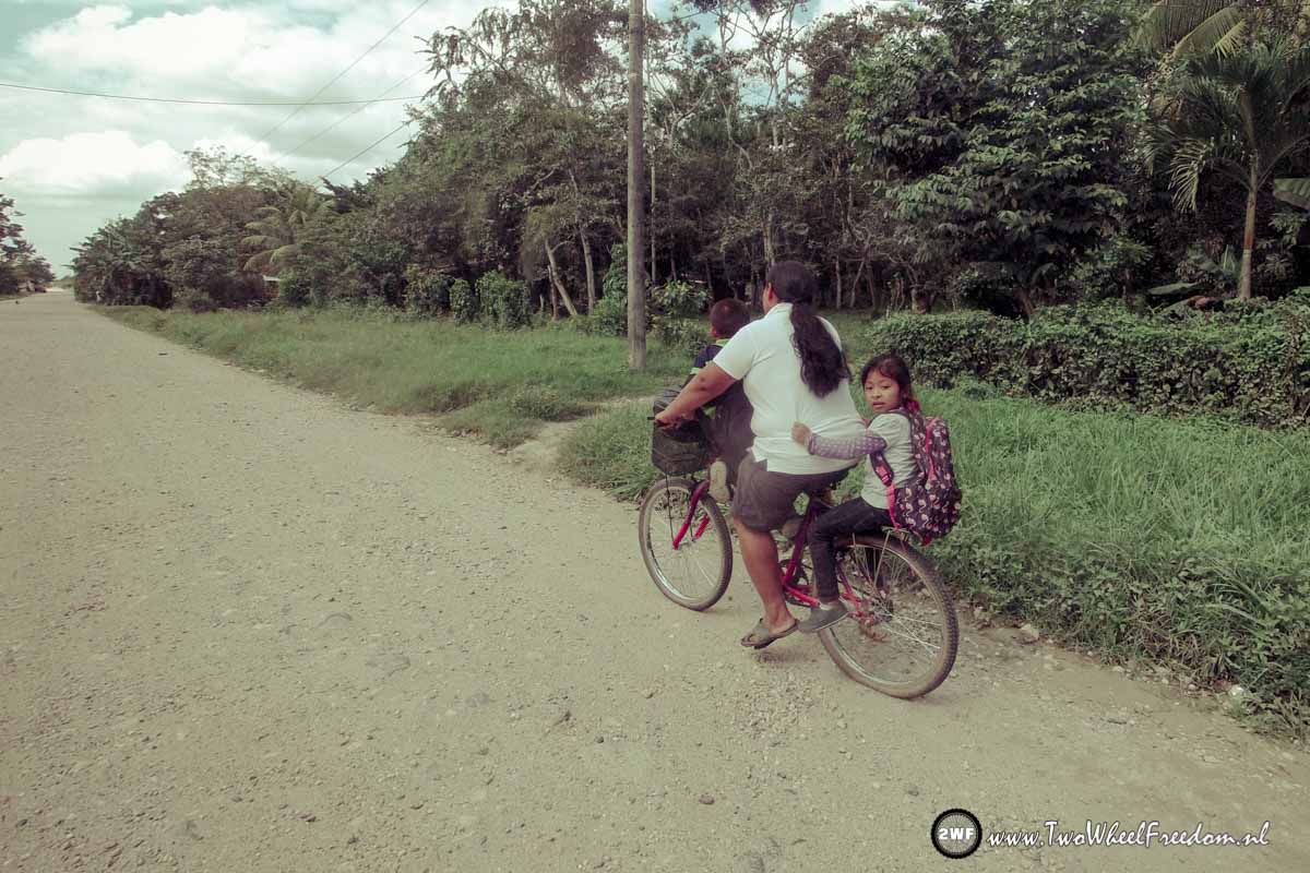
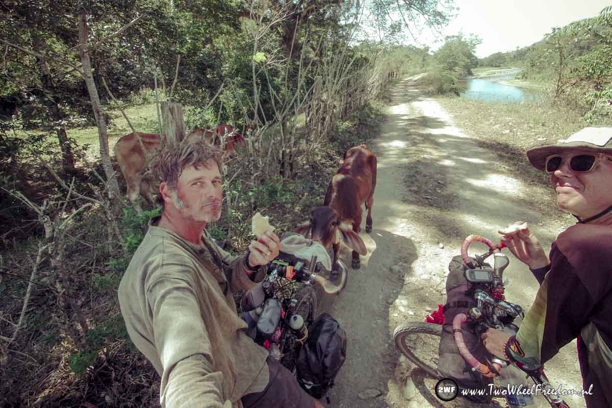
The track leads though small villages with Indians living in small self made houses. Kids playing around and farm animals are seen every where.
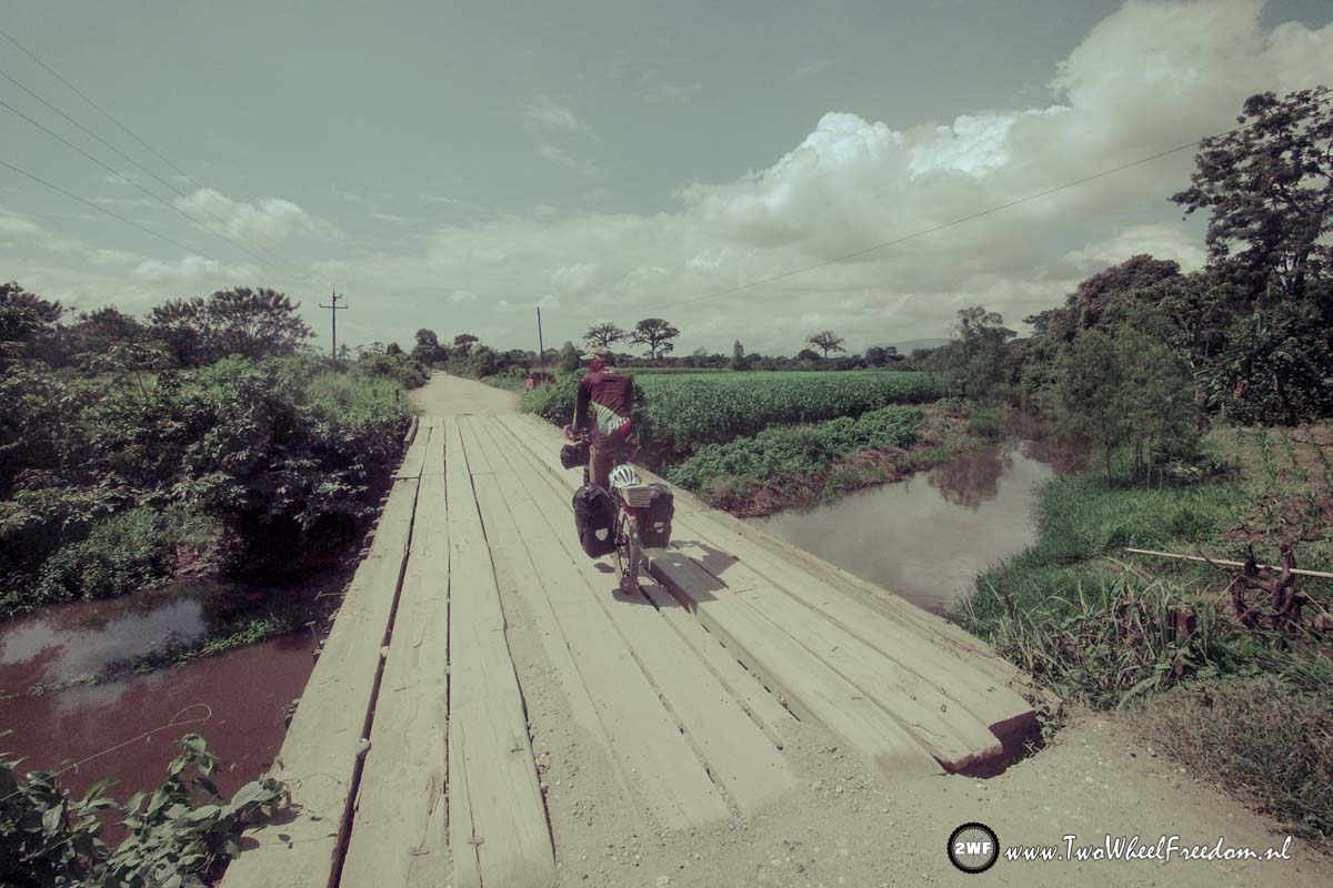
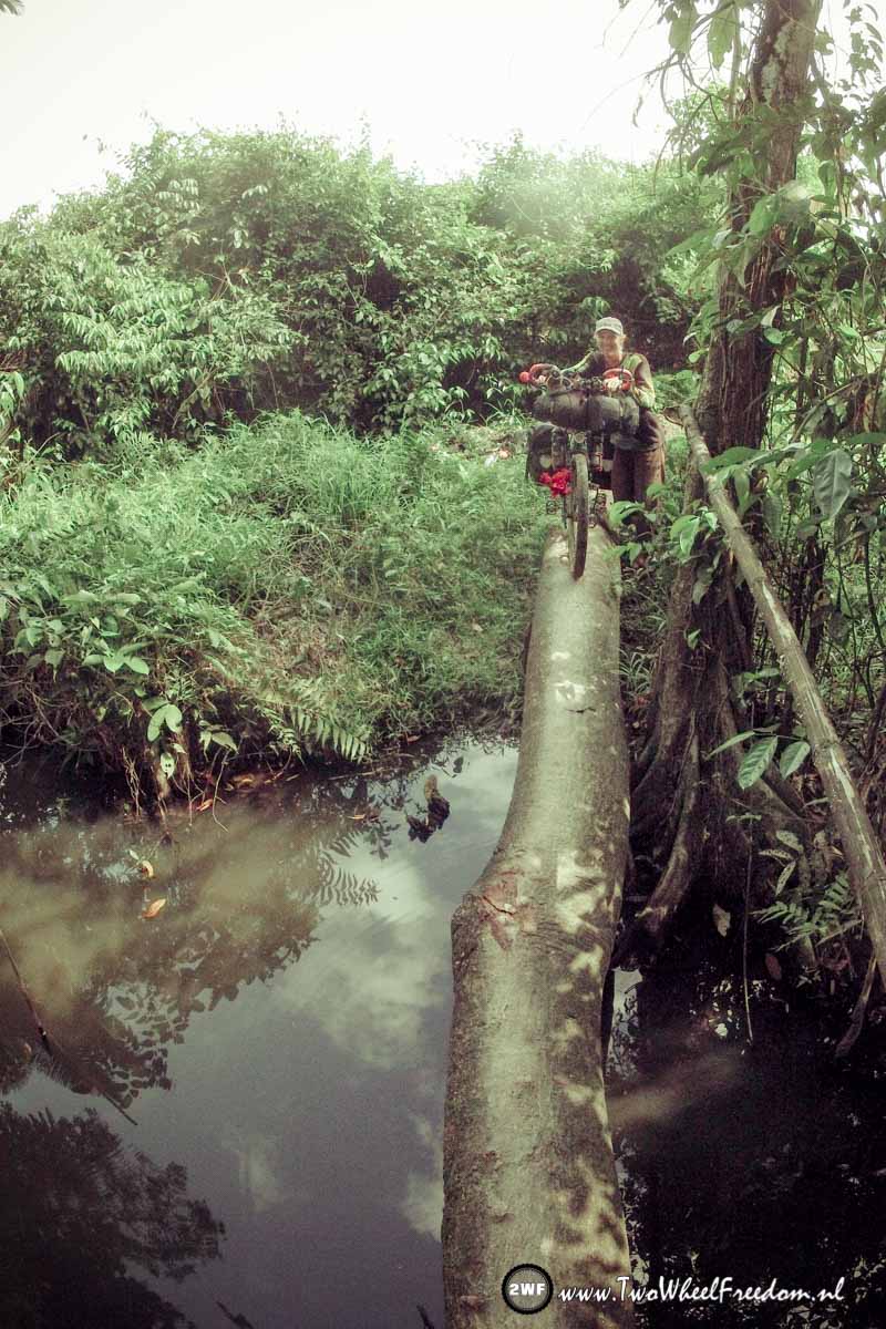
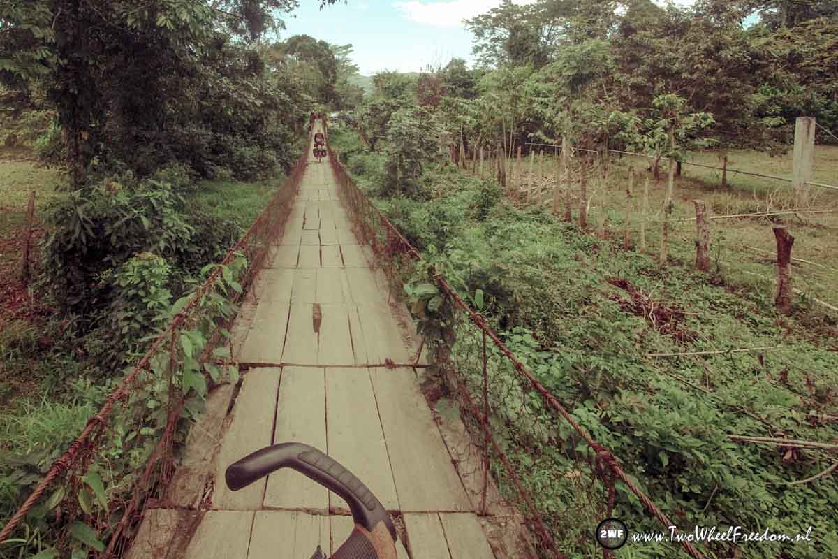
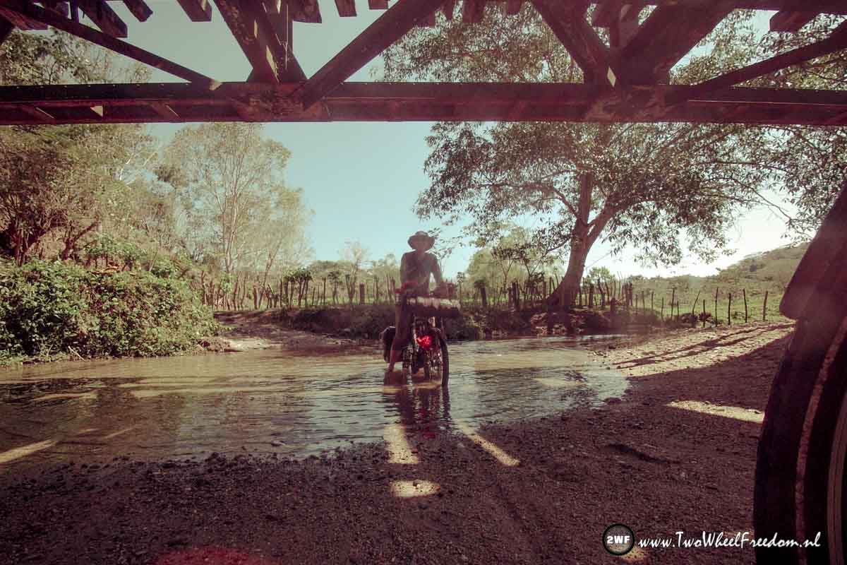
So now and then creeks coming out of the mountains left of us going to the river on the right side. To cross those creeks bridges are built over them. The only problem is, the bridges are there from the time this was the main road, years and years ago. Since then the bridges didn’t see any maintenance.
They rot away in misery and if cars want to cross a creek they just go through the creek instead using the bridges.
On some parts we do the same and go through but at some places we go over the rotten bridges because the creeks is to deep.
After many many kilometers on the track we unexpectedly find an new and shiny paved road which is not mapped. Nice ?
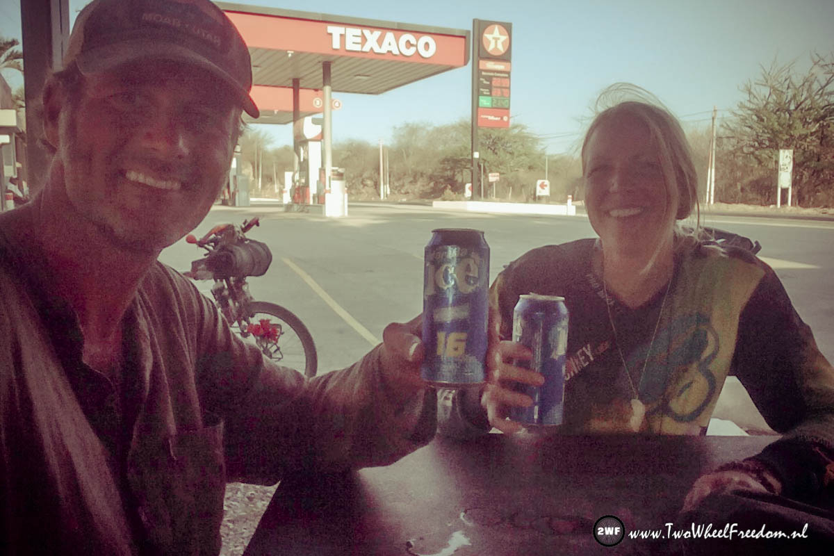
In the next bigger town the nice new and quiet road stops. From here we have no other choice than go back on the highway. No alternative can be taken, there simply is non. Surprisedly the highway is a little less busy and has a shoulder most of the time. We paddle in a descent speed and when we pass a gas station by the end of the afternoon it’s 35 degrees in the shade and we drink our first Guatemala Ice Beer.
At this point there is a big junction and we gonna leave this highway CA9. From here we go southeast on the CA10 to the border with El Salvador.
From here it’s another 15km to the town where we wanna sleep tonight. Zacapa.
The CA10 seems even worse than the CA9 and most of the time we cycle beside the road instead of on the road.
We arrive in Zacapa when it’s already starts getting dark. A too expensive hotel is quickly found. We check in and eat something in the lobby. Back in our room we spend the night editing Belize pictures and surfing ? the www waves ?
The next morning we drag ourselves out of bed. We don’t wanna cycle this terrible highway 10.
We hope the road gets better after this town so we start off, no other choice.
After a half an hour on the highway we find ourselves struggling against a steep mountain road with big trucks and busses passing all the time. Kim: “This is more a survival tour then a cycling trip”
“We have to make a decision; Go on and take the risky ride all the way to El Salvador, 85km away from here, or go back down hill to the last village and try to get a ride in one of the passing busses.”
We turn around, go all the way down again and stop at a small bus stop.
Friendly people who are waiting there for a bus already explain how things work in bussing land.
They help us flagging down the bus we need. The bus conductor drags our bikes on the roof rack and off we are.
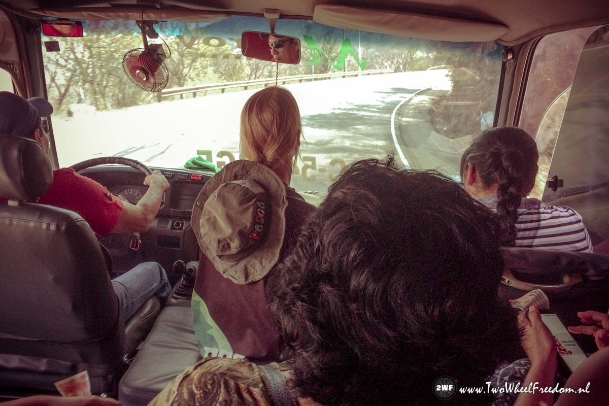
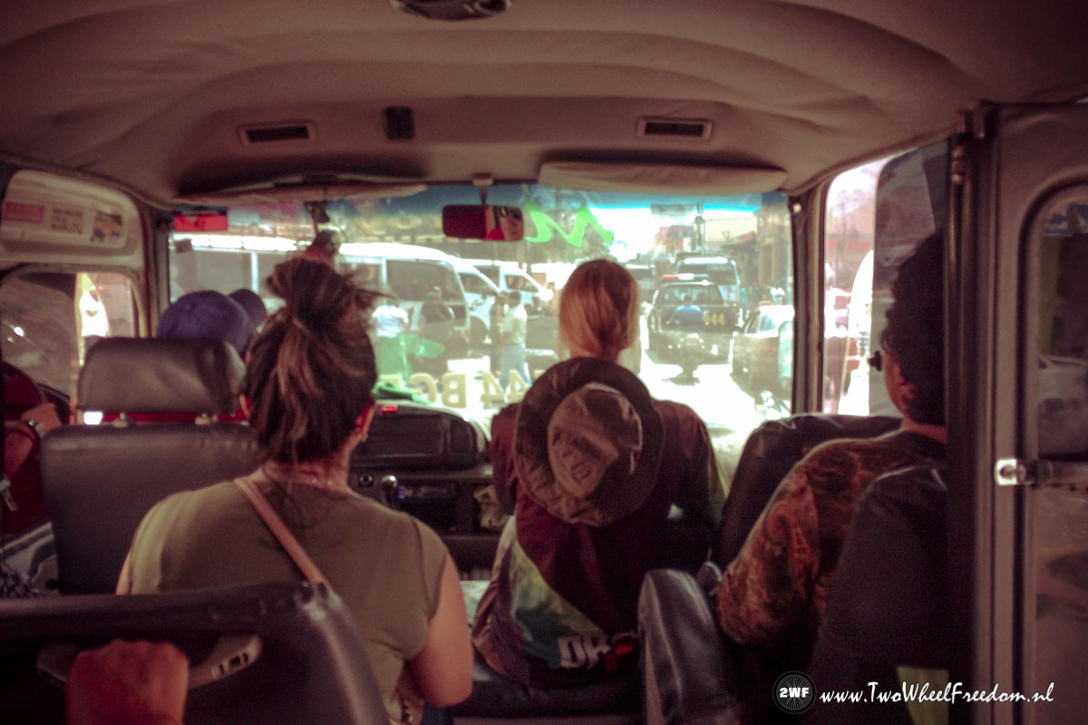
The bus is packed with people and there is hardly enough space for everyone.
The bus tour it self is like a fast rollercoaster though the mountains. We pass big trucks where passing is no allowed and hear our breaks making strange noises when we’re speeding downhill.
The ride ends at a crowded bus terminal. We have to take another bus if we want to bus all the way to the border.
We drink something and go in search for our next bus. Our bikes find their way to the roof of the second bus again. We wait 45 minutes and off we are again. Another rollercoaster ride.
We safely make it to the border two hours later.
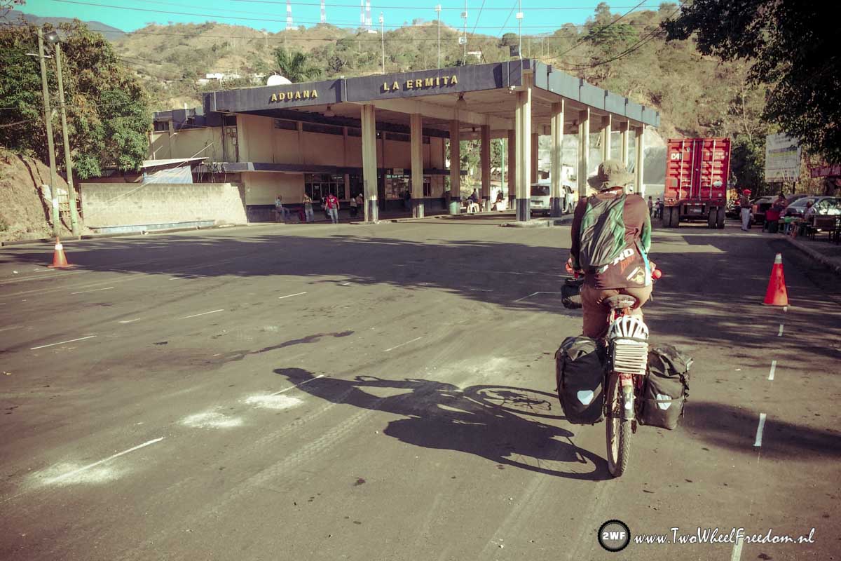
At the border hundreds of trucks are in line waiting to pass the border.
We cycle along the trucks and go straight to the immigration office. The friendly officer over there speaks English and explains how everything works here. He stamps us out of Guatemala and we’re free to go again. Pass the bridge he says and you will find the immigrations of El Salvador.
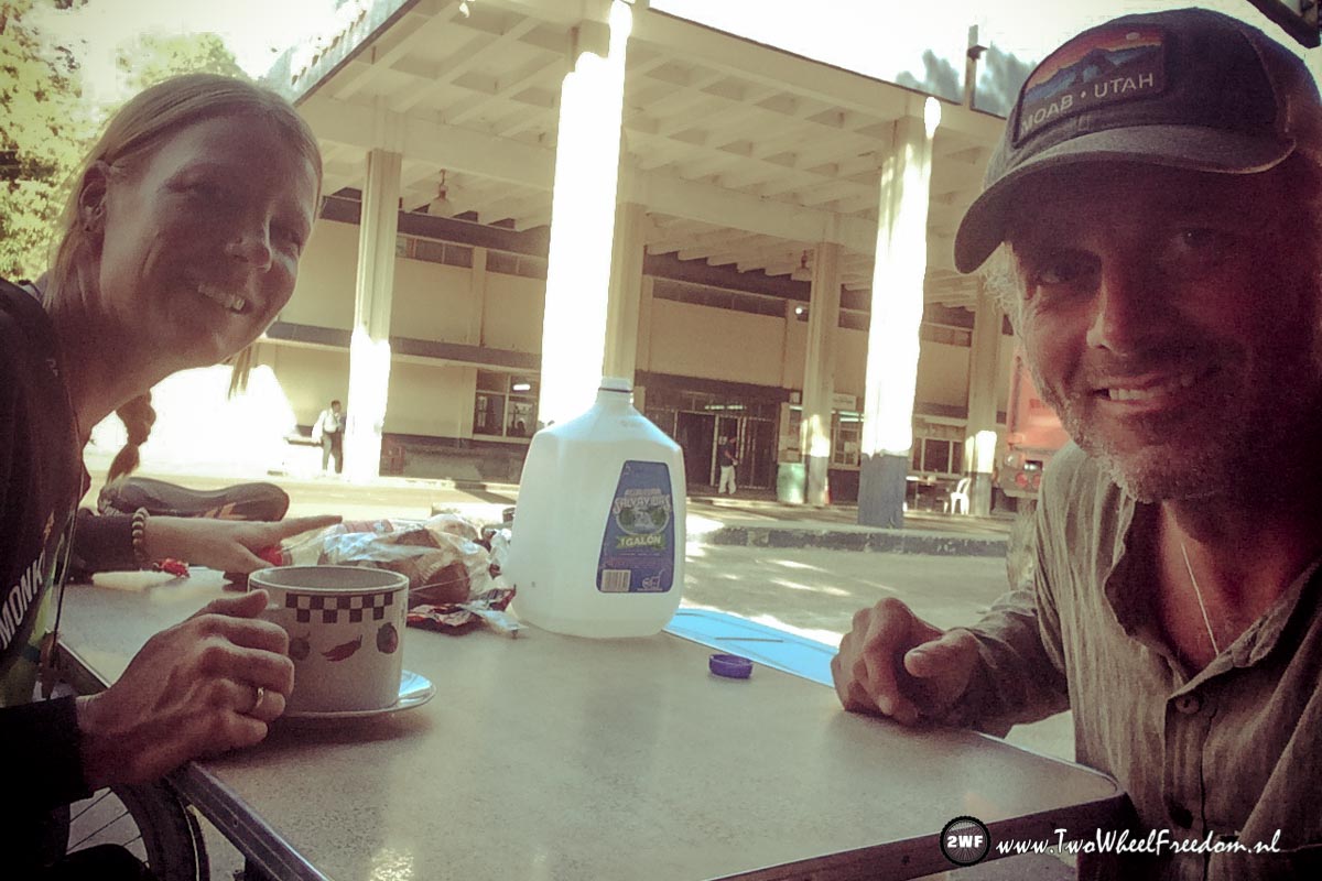
Because we still have some Guatemala currency left in our pockets we first walk back to one of the small road shops for some snacks and drinks.
After that we cycle over the bridge.
Hola El Salvador!! ??

